Burns Creek, Hell Hole, and Coalmine Access
Total Miles
1.6
Technical Rating
Best Time
Spring, Summer, Fall
Trail Type
Single Track
Accessible By
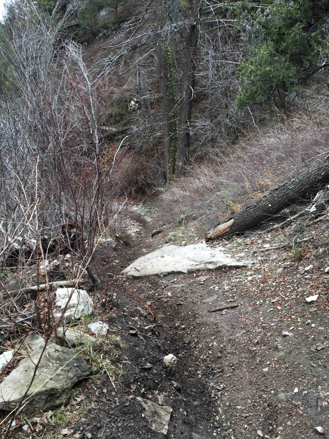
Trail Overview
This trail runs up to the cutoff to Coalmine, Hell Hole, and Big and Little Burns trailheads. It rides along Burns creek for a mile and a half anywhere up to 50 feet above the creek. It crosses the creek multiple times and is a fun ride up to one of the funnest trail systems in Southeastern Idaho.
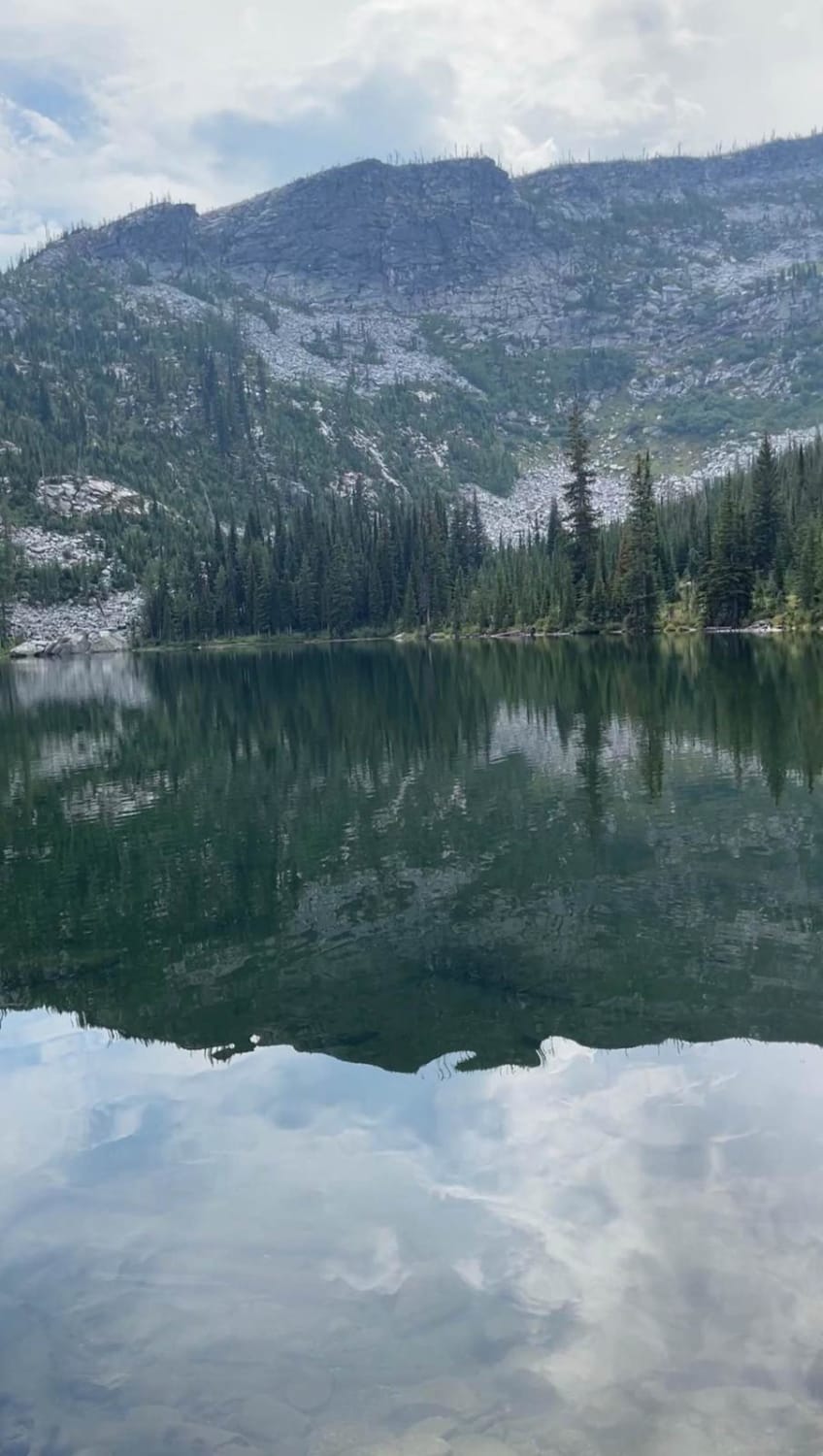
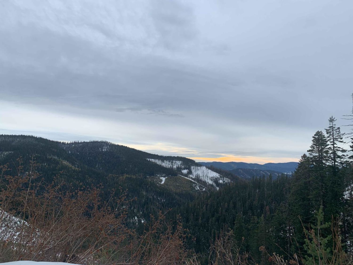
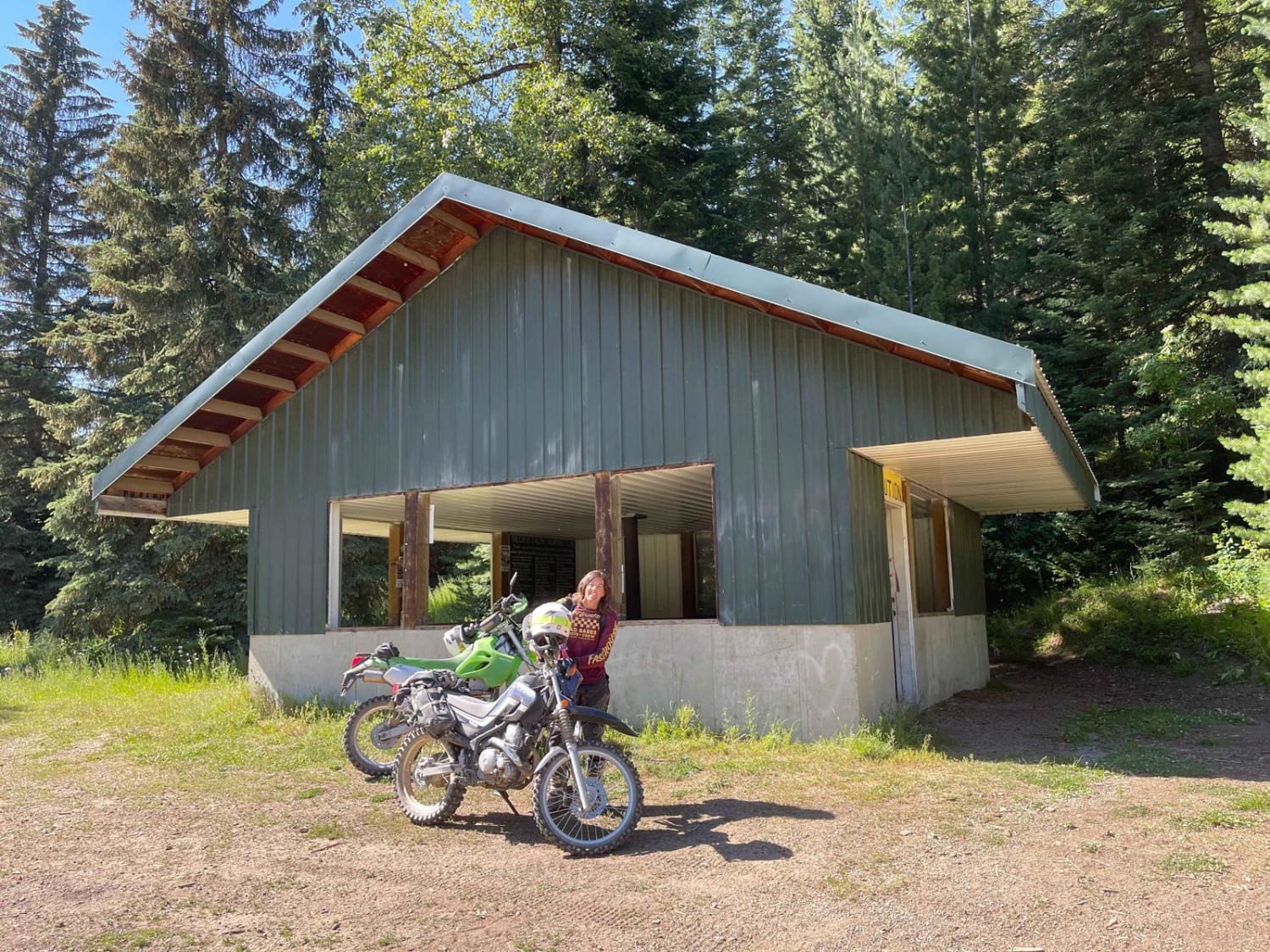
Photos of Burns Creek, Hell Hole, and Coalmine Access

Difficulty
The main reason this trail is difficult is because of the exposure. The trail itself is fairly easy with creek crossings and a high exposure slippery rock on one portion. Waypoints have been provided where obstacles exist with accompanying pictures.
Status Reports
Burns Creek, Hell Hole, and Coalmine Access can be accessed by the following ride types:
- Dirt Bike
Burns Creek, Hell Hole, and Coalmine Access Map
Popular Trails
Roman Nose Lake/Snow Creek
Skookum Saddle (434)

Lolo Motorway (aka FS Rd #500)
The onX Offroad Difference
onX Offroad combines trail photos, descriptions, difficulty ratings, width restrictions, seasonality, and more in a user-friendly interface. Available on all devices, with offline access and full compatibility with CarPlay and Android Auto. Discover what you’re missing today!