Off-Road Trails in Idaho
Discover off-road trails in Idaho
Learn more about Denver Creek
Denver Creek
Total Miles
6.5
Tech Rating
Moderate
Best Time
Summer, Spring, Fall
Learn more about Devil Peak
Devil Peak
Total Miles
5.3
Tech Rating
Difficult
Best Time
Fall, Summer, Spring

Learn more about Diamond Creek #5126 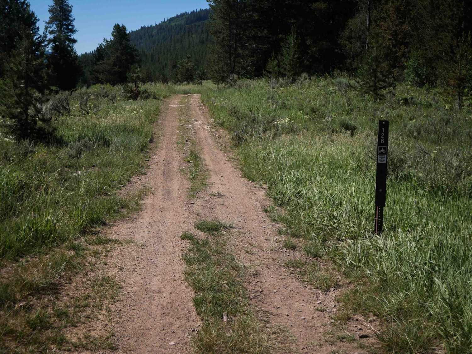
Diamond Creek #5126
Total Miles
0.8
Tech Rating
Easy
Best Time
Summer, Fall
Learn more about Diamond-Bear #5125
Diamond-Bear #5125
Total Miles
1.1
Tech Rating
Easy
Best Time
Summer, Fall
Learn more about Dinner Bucket Ridge - FS 1444
Dinner Bucket Ridge - FS 1444
Total Miles
4.9
Tech Rating
Easy
Best Time
Spring, Summer, Fall, Winter
Learn more about Dinner Bucket Road
Dinner Bucket Road
Total Miles
1.8
Tech Rating
Easy
Best Time
Spring, Summer, Fall
Learn more about Ditch Creek 
Ditch Creek
Total Miles
5.8
Tech Rating
Difficult
Best Time
Spring, Summer, Fall
Learn more about Divide Trail #106 to Twin Creek Ridge Trail
Divide Trail #106 to Twin Creek Ridge Trail
Total Miles
16.7
Tech Rating
Moderate
Best Time
Summer
Learn more about Double Headed Dragon
Double Headed Dragon
Total Miles
0.6
Tech Rating
Moderate
Best Time
Spring, Summer, Fall
Learn more about Doublespring Pass
Doublespring Pass
Total Miles
10.5
Tech Rating
Moderate
Best Time
Spring, Summer, Fall, Winter

Learn more about Dry Creek-Cliff Creek
Dry Creek-Cliff Creek
Total Miles
40.3
Tech Rating
Easy
Best Time
Summer, Fall
Learn more about Dry Fork #3329 
Dry Fork #3329
Total Miles
3.4
Tech Rating
Moderate
Best Time
Summer, Fall
Learn more about Dry Gulch Access 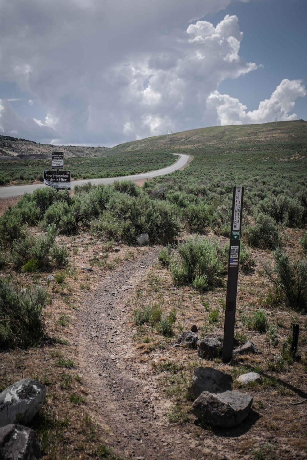
Dry Gulch Access
Total Miles
0.7
Tech Rating
Easy
Best Time
Winter, Fall, Summer, Spring
ATV trails in Idaho
Learn more about Aspen Range - Middle Sulphur #5248 
Aspen Range - Middle Sulphur #5248
Total Miles
1.9
Tech Rating
Easy
Best Time
Summer, Fall
Learn more about Dry Fork - Meadow Springs #5226 
Dry Fork - Meadow Springs #5226
Total Miles
0.4
Tech Rating
Easy
Best Time
Summer, Fall
Learn more about South Foothill Road
South Foothill Road
Total Miles
8.2
Tech Rating
Moderate
Best Time
Summer, Fall

UTV/side-by-side trails in Idaho
Learn more about South Foothill Road
South Foothill Road
Total Miles
8.2
Tech Rating
Moderate
Best Time
Summer, Fall

Learn more about 21 To Nip & Tuck
21 To Nip & Tuck
Total Miles
1.4
Tech Rating
Easy
Best Time
Fall, Summer, Spring

The onX Offroad Difference
onX Offroad combines trail photos, descriptions, difficulty ratings, width restrictions, seasonality, and more in a user-friendly interface. Available on all devices, with offline access and full compatibility with CarPlay and Android Auto. Discover what you’re missing today!