Dry Fork #3329
Total Miles
3.4
Technical Rating
Best Time
Summer, Fall
Trail Type
50" Trail
Accessible By
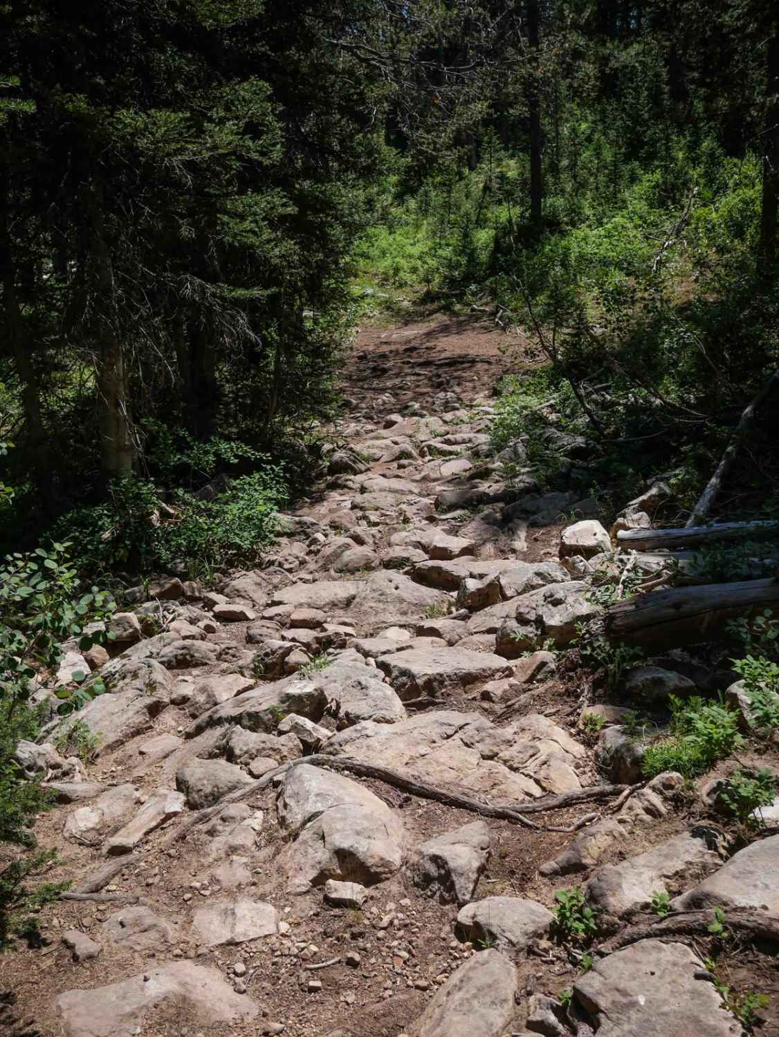
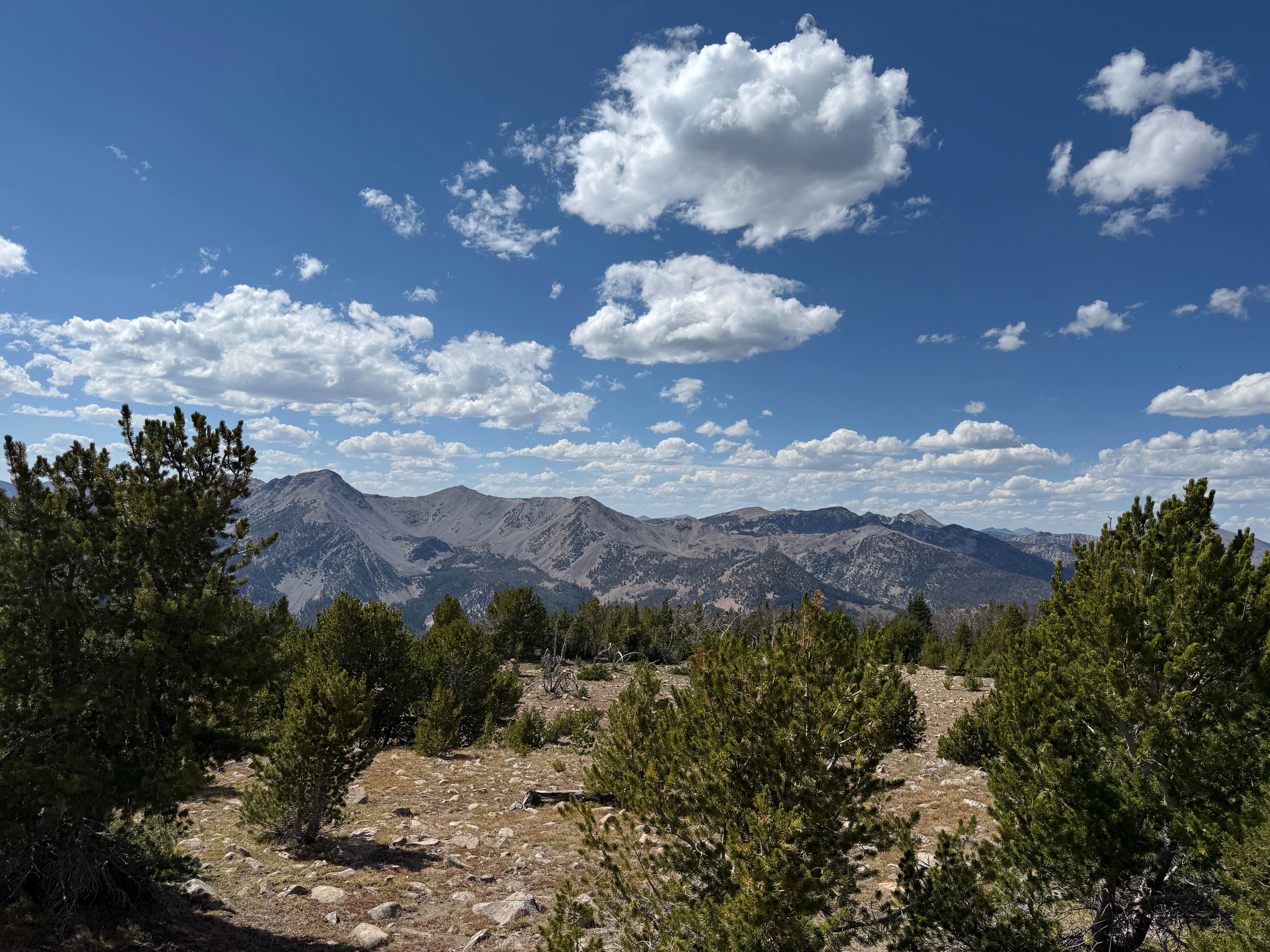
Trail Overview
Dry Fork #3329 is a 3.5-mile-long ATV trail that runs from Dry Fork Road #30419 on the east end to Mid Dry Basin Road #31288 on the west end. The route is moderately challenging, with numerous rocky sections throughout that slow the pace. Riders encounter big embedded boulders, shallow ruts, and root bands as the trail meanders through forested terrain. Several segments are filled with small embedded rock, and you have to pick your way through a couple of short rock gardens, though there are no major ledges. There's a 50-inch cattle grate through a fence, and while there is potential for downed logs, most of the trail appeared to be cleared for the season. The trail intersects with #3343 around the midpoint and maintains a gradual grade from end to end, which helps offset the technical rocky surface.
Photos of Dry Fork #3329

Difficulty
This is an intermediate trail due to the consistent rocky terrain, embedded boulders, and small rock gardens. The flat grade makes it more manageable, but the rough surface demands a bit more skill and adds to the difficulty.
Status Reports
Dry Fork #3329 can be accessed by the following ride types:
- ATV (50")
- Dirt Bike
Dry Fork #3329 Map
Popular Trails

East Boundary (More Difficult)
Cedar Mountain

Three Ponds #3367
The onX Offroad Difference
onX Offroad combines trail photos, descriptions, difficulty ratings, width restrictions, seasonality, and more in a user-friendly interface. Available on all devices, with offline access and full compatibility with CarPlay and Android Auto. Discover what you’re missing today!