Off-Road Trails in Idaho
Discover off-road trails in Idaho
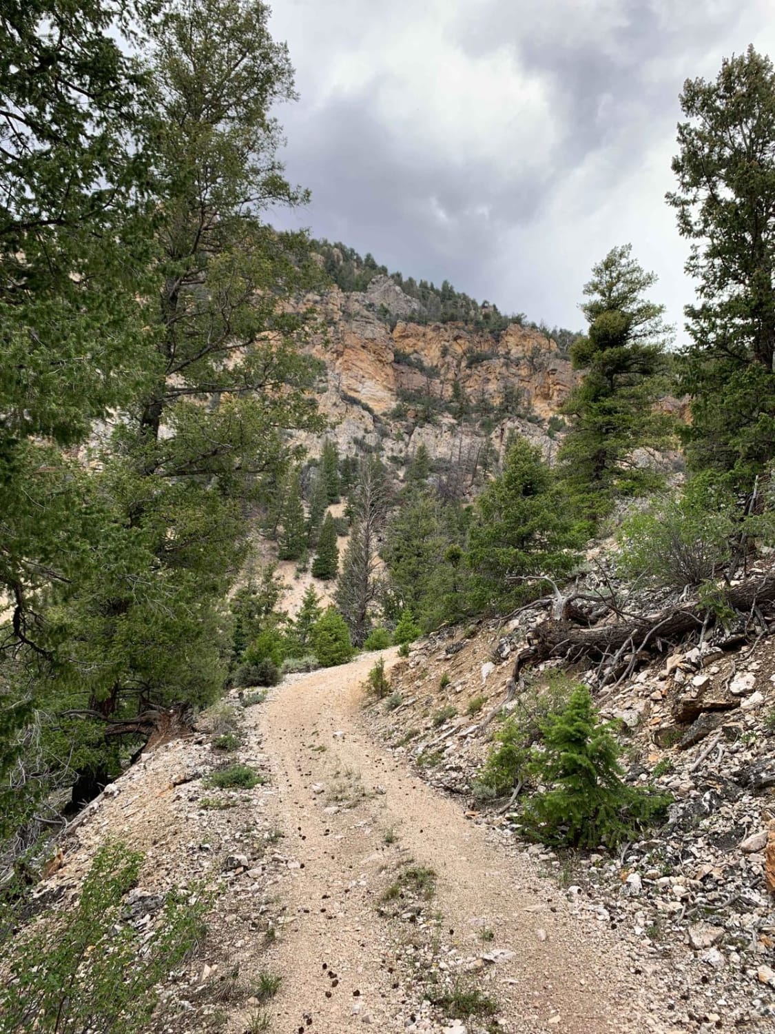
Learn more about Forest Service Road 50321 (FS 321) Carey Dome
Forest Service Road 50321 (FS 321) Carey Dome
Total Miles
2.1
Tech Rating
Easy
Best Time
Spring, Summer, Fall
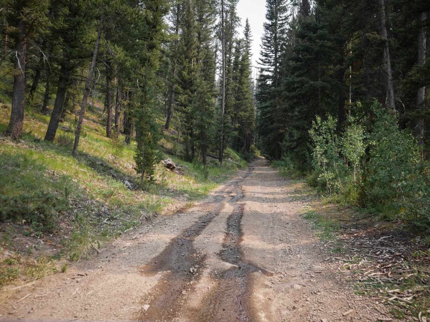
Learn more about Forest Service Road 50329 (FSR 329/Willow Creek Road
Forest Service Road 50329 (FSR 329/Willow Creek Road
Total Miles
2.1
Tech Rating
Easy
Best Time
Spring, Summer, Fall
Learn more about Forest Service Road 555 (FS 555) Scott Mtn-Deadwood
Forest Service Road 555 (FS 555) Scott Mtn-Deadwood
Total Miles
24.1
Tech Rating
Easy
Best Time
Summer, Fall
Learn more about Forest Service Road 555BC - Scott Mtn. Lookout
Forest Service Road 555BC - Scott Mtn. Lookout
Total Miles
4.0
Tech Rating
Easy
Best Time
Summer, Fall
Learn more about Formation Canyon
Formation Canyon
Total Miles
2.7
Tech Rating
Easy
Best Time
Spring, Summer, Fall, Winter
Learn more about FR 024 - Fourth of July Creek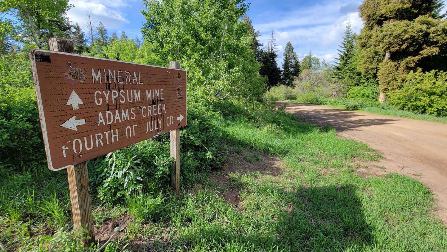
FR 024 - Fourth of July Creek
Total Miles
9.4
Tech Rating
Easy
Best Time
Fall, Summer, Spring
Learn more about FR 025 - Adams Creek
FR 025 - Adams Creek
Total Miles
10.1
Tech Rating
Easy
Best Time
Fall, Summer, Spring
Learn more about FR 09 - Mann Creek
FR 09 - Mann Creek
Total Miles
6.6
Tech Rating
Easy
Best Time
Fall, Summer, Spring
Learn more about FR 306 - Iron Mountain Trail
FR 306 - Iron Mountain Trail
Total Miles
3.2
Tech Rating
Moderate
Best Time
Summer, Spring, Fall
Learn more about FR 322 - Wolf/Monroe Creek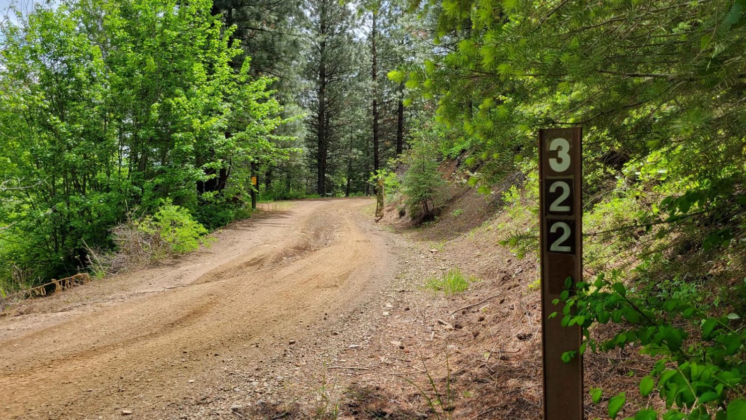
FR 322 - Wolf/Monroe Creek
Total Miles
6.3
Tech Rating
Moderate
Best Time
Fall, Summer, Spring
Learn more about FR 573 - Hitt Creek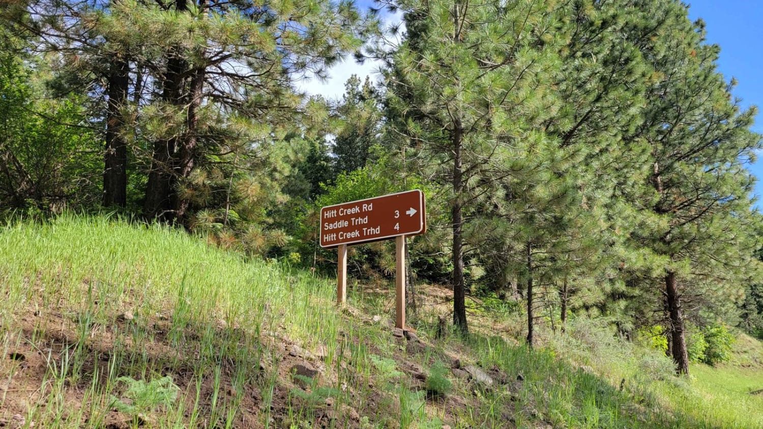
FR 573 - Hitt Creek
Total Miles
5.1
Tech Rating
Easy
Best Time
Fall, Summer, Spring
Learn more about Frank Heller Mine Trail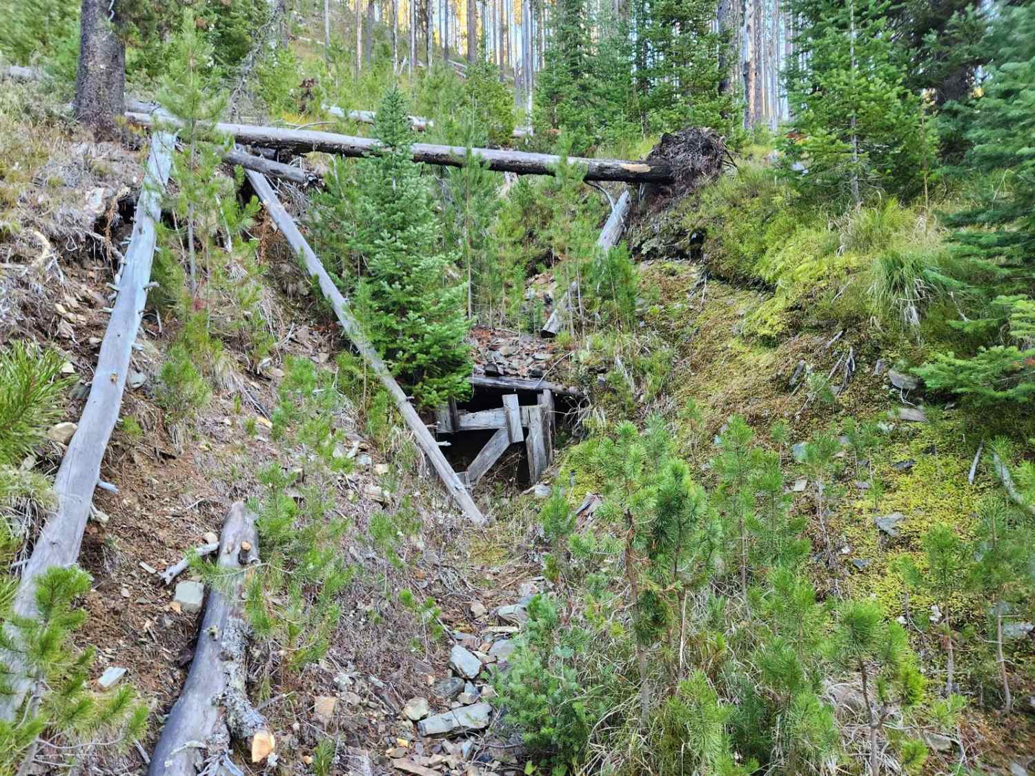
Frank Heller Mine Trail
Total Miles
0.6
Tech Rating
Easy
Best Time
Summer, Fall
Learn more about Franklin Basin-ID
Franklin Basin-ID
Total Miles
12.8
Tech Rating
Moderate
Best Time
Summer, Fall
Learn more about Frenchman Creek 
Frenchman Creek
Total Miles
5.3
Tech Rating
Easy
Best Time
Summer, Fall, Spring
Learn more about Frenchman's Warm Creek Trail
Frenchman's Warm Creek Trail
Total Miles
8.7
Tech Rating
Easy
Best Time
Summer, Fall
Learn more about Frying Pan Road
Frying Pan Road
Total Miles
13.2
Tech Rating
Moderate
Best Time
Summer, Fall
ATV trails in Idaho
Learn more about Aspen Range - Middle Sulphur #5248 
Aspen Range - Middle Sulphur #5248
Total Miles
1.9
Tech Rating
Easy
Best Time
Summer, Fall
Learn more about Dry Fork - Meadow Springs #5226 
Dry Fork - Meadow Springs #5226
Total Miles
0.4
Tech Rating
Easy
Best Time
Summer, Fall
Learn more about South Foothill Road
South Foothill Road
Total Miles
8.2
Tech Rating
Moderate
Best Time
Summer, Fall

UTV/side-by-side trails in Idaho
Learn more about South Foothill Road
South Foothill Road
Total Miles
8.2
Tech Rating
Moderate
Best Time
Summer, Fall

Learn more about 21 To Nip & Tuck
21 To Nip & Tuck
Total Miles
1.4
Tech Rating
Easy
Best Time
Fall, Summer, Spring

The onX Offroad Difference
onX Offroad combines trail photos, descriptions, difficulty ratings, width restrictions, seasonality, and more in a user-friendly interface. Available on all devices, with offline access and full compatibility with CarPlay and Android Auto. Discover what you’re missing today!