Frying Pan Road
Total Miles
13.2
Technical Rating
Best Time
Summer, Fall
Trail Type
High-Clearance 4x4 Trail
Accessible By
Trail Overview
This road follows a section of the Continental Divide. The terrain and scenery offer visitors variety, including panoramic views from open alpine meadows to snaking through dense whitebark pine stands. Characteristic of any ridgeline route, there are steep rocky ascents and descents along the way. The tread is a native material of dirt, gravel, and rocks. Traveling through high alpine and subalpine environments is a unique experience, and the visitor will be exposed to a different set of plants and animals adapted to those environments.
Photos of Frying Pan Road

Difficulty
Typical of any ridgeline trail, much of the route is rocky. In places, these rocks can be quite large and have to be carefully negotiated to avoid damage to the vehicle. A skill set for crawling through these sometimes difficult obstacles is advised for this road. There are a few steep, rocky assents and descents on this road that require moderate technical experience. The track is single lane but wide enough to accommodate. wider side by sides and "jeep" style vehicles.
Status Reports
Frying Pan Road can be accessed by the following ride types:
- High-Clearance 4x4
- SxS (60")
- ATV (50")
- Dirt Bike
Frying Pan Road Map
Popular Trails
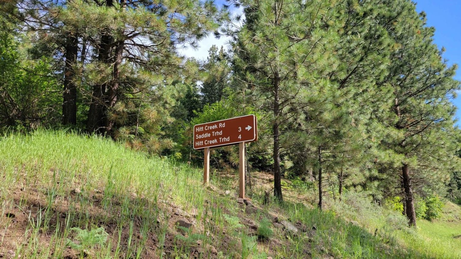
FR 573 - Hitt Creek


Crooked Ridge - FS 258

Pete Creek Trail
The onX Offroad Difference
onX Offroad combines trail photos, descriptions, difficulty ratings, width restrictions, seasonality, and more in a user-friendly interface. Available on all devices, with offline access and full compatibility with CarPlay and Android Auto. Discover what you’re missing today!