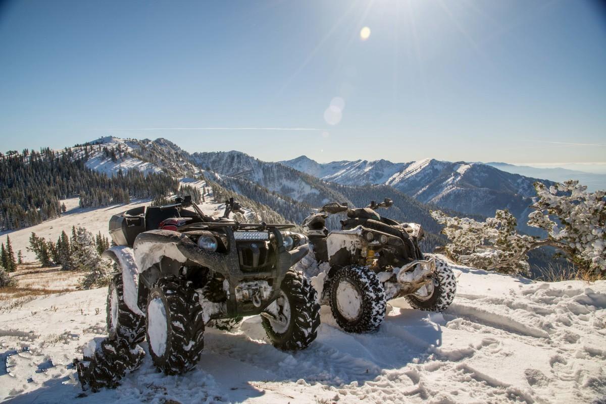
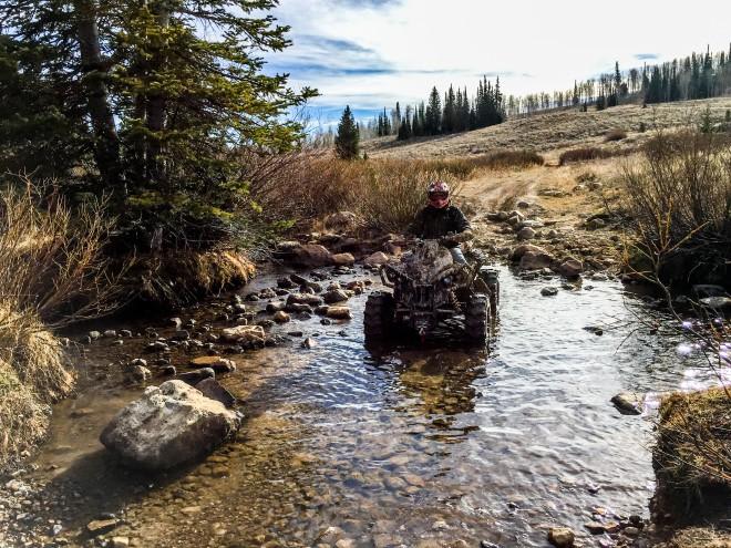
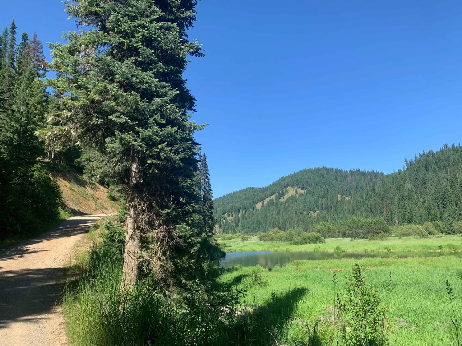
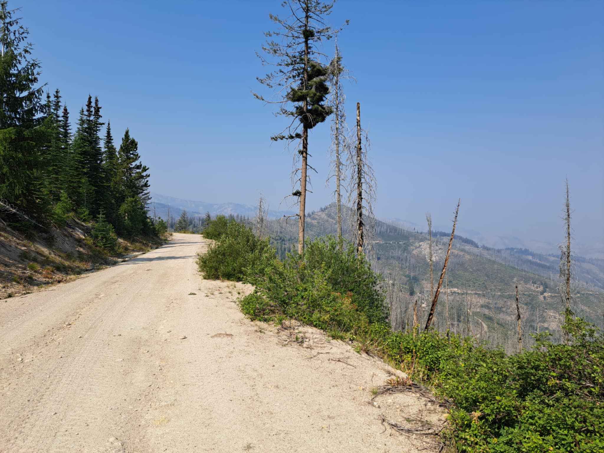
Boss Canyon
Total Miles
7.9
Technical Rating
Best Time
Spring, Summer, Fall, Winter
Trail Type
50" Trail
Accessible By
Trail Overview
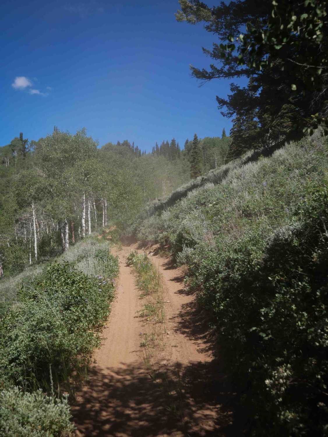
Boss Canyon is a very scenic 50" only side trail located off the Franklin Basin road between Logan Canyon, Utah and Cub River, Idaho. The trail is in the trees much of the time and ends at a gorgeous overlook on the main ridge of the Bear River Range.
Photos of Boss Canyon
Status Reports
Boss Canyon can be accessed by the following ride types:
- ATV (50")
- Dirt Bike
Boss Canyon Map
Popular Trails

Forest Service Road 3320E East
Total Miles
1.8
Tech Rating
Easy
Best Time
Fa / Su / Sp
Leiberg Magee (422)
Total Miles
12.9
Tech Rating
Easy
Best Time
Su / Fa
Roaring River Road - FS 255
Total Miles
8.8
Tech Rating
Easy
Best Time
Su
Webster Ridge #5110
Total Miles
6.3
Tech Rating
Moderate
Best Time
Su / Fa
The onX Offroad Difference
onX Offroad combines trail photos, descriptions, difficulty ratings, width restrictions, seasonality, and more in a user-friendly interface. Available on all devices, with offline access and full compatibility with CarPlay and Android Auto. Discover what you’re missing today!