Copper Queen Mine Road
Total Miles
3.9
Technical Rating
Best Time
Spring, Summer, Fall
Trail Type
High-Clearance 4x4 Trail
Accessible By
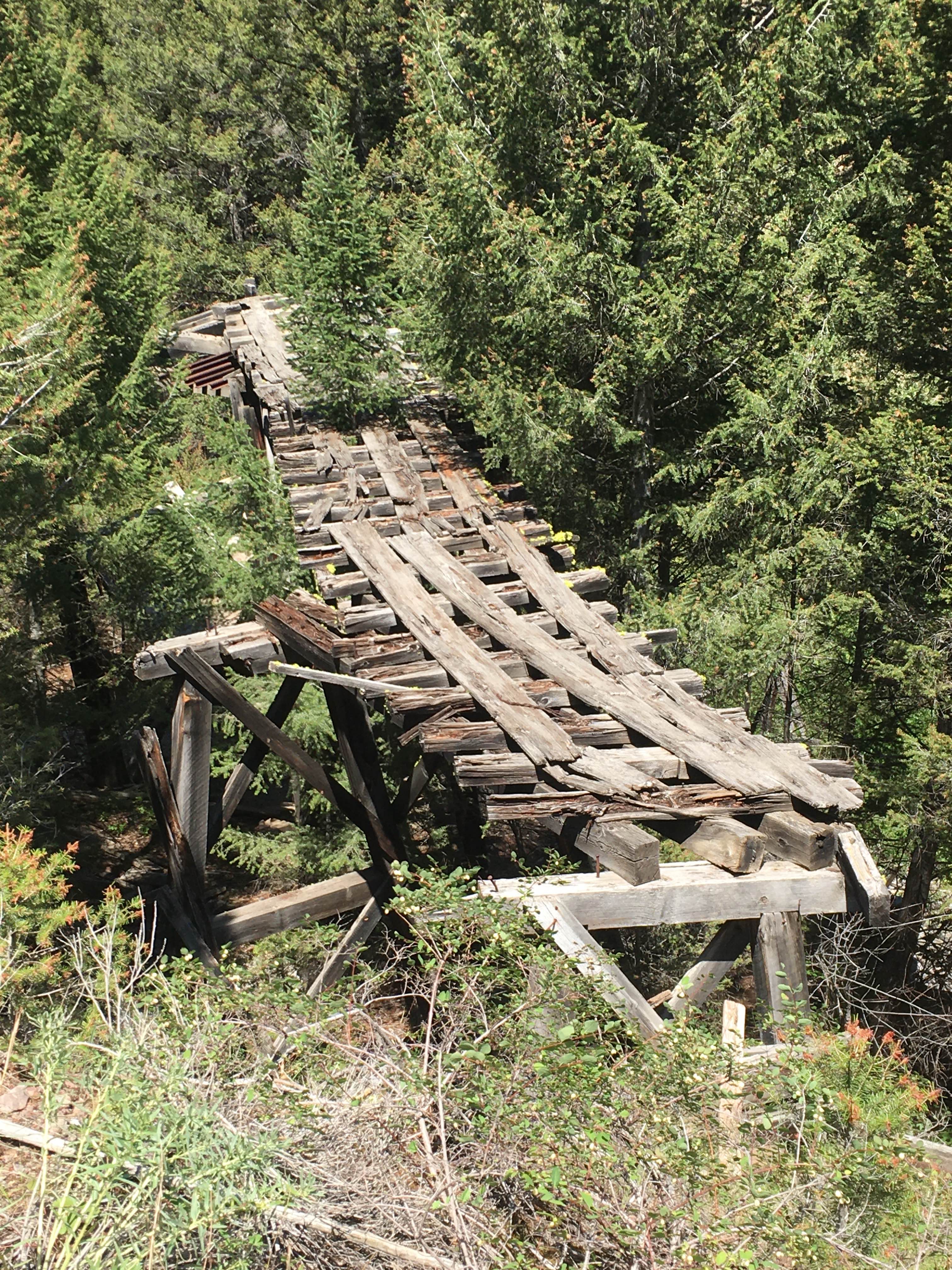
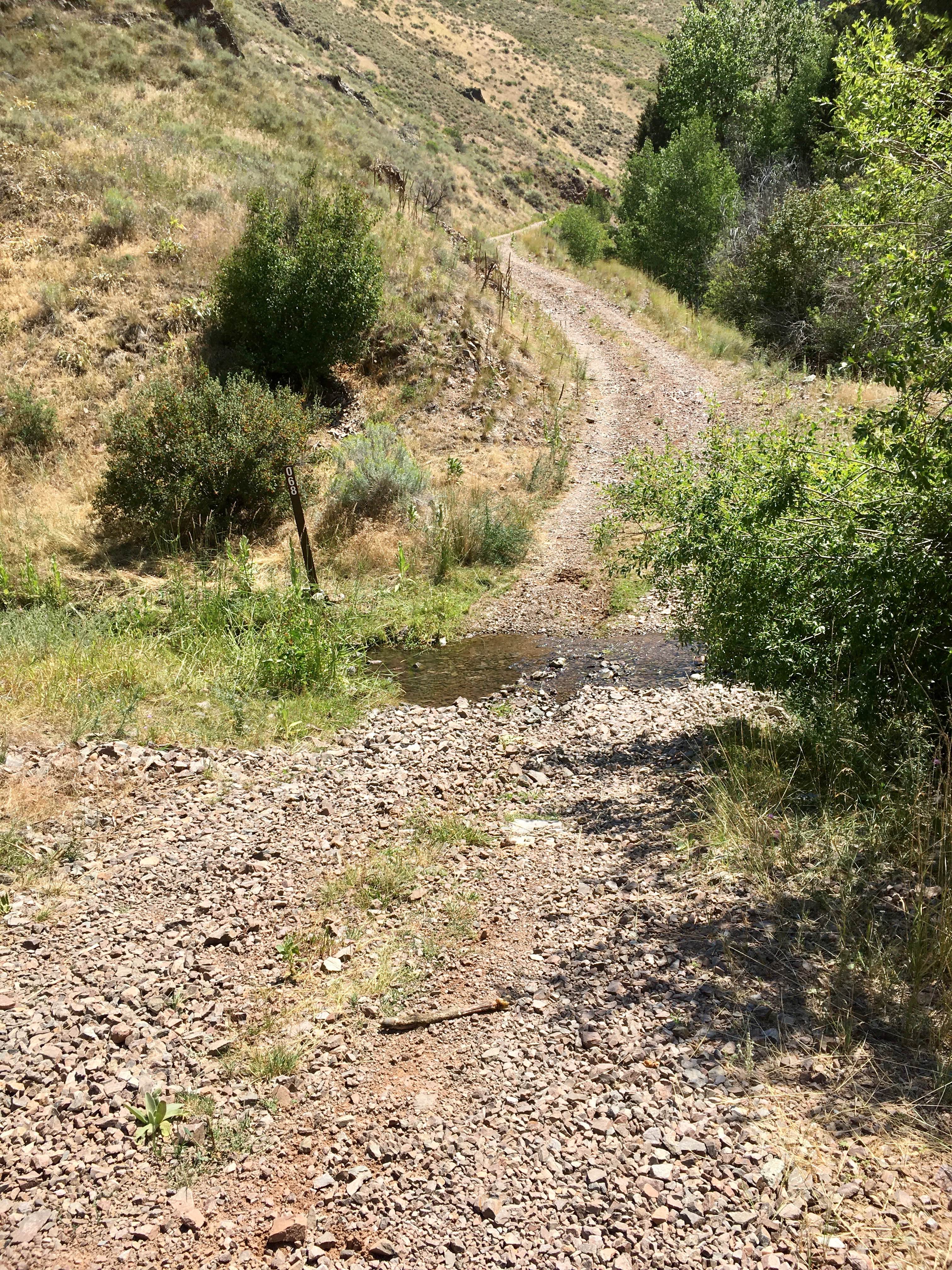
Trail Overview
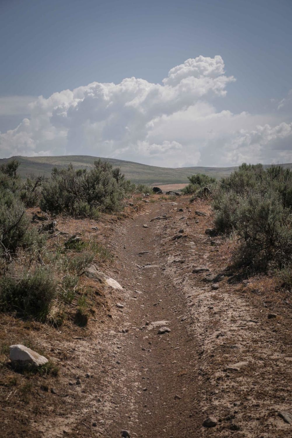
This road, signed as FS 60068 on the ground, connects the Agency Creek Road, also known as the Lemhi Pass Road, eventually to the Continental Divide (CD). But of course, it's not known as the Copper Queen Mine road because it accesses the CD; it got its name because the first segment of the road is the historical access to an underground mine whose name you may be able to discern. The old mine site is only about a half a mile up from the Agency Creek Road, and the road to that point is pretty easy for any competent high clearance vehicle. For people who are interested in historical mine sites, the Copper Queen Mine site will keep you occupied for many hours of hiking around the mountainsides. Others may prefer to proceed on to the CD. This segment of the road steadily narrows as it gains elevation, and there are a few slides from the cut side of the road that produce significant off-camber challenges. Additional elevation gains pass through beautiful stands of fir, gradually grading to lodgepole pine, including a couple of patches of doghair lodgepole, and then on to the CD at an elevation of 7,400 feet. This is a beautiful and entertaining ride. Easy except for a couple of narrow off-camber segments.
Photos of Copper Queen Mine Road
Difficulty
The two segments of the narrow off-camber road are easily navigated by narrower vehicles. For that reason, full-width 4x4 vehicles are not recommended for this road.
History
The Copper Queen Mine produced significant quantities of copper ore between 1883 and 1910, with several largely unsuccessful subsequent attempts at production. There were other attempts in the area at copper and gold production, but the Copper Queen Mine was the only economically productive mine of that early era. With the invention of portable Geiger counters in the late 1940s, radioactive minerals (primarily thorium) were identified in the area, and some largely unsuccessful attempts at commercial production were made until approximately 1957. An Idaho Geological Survey Staff Report 06-4 by Gillerman, Otto, and Griggs is an excellent reference to the mining activities in the Lemhi Pass area.
Status Reports
Copper Queen Mine Road can be accessed by the following ride types:
- High-Clearance 4x4
- SxS (60")
- ATV (50")
- Dirt Bike
Copper Queen Mine Road Map
Popular Trails

Tree Line Ride
Lower Sugarloaf
The onX Offroad Difference
onX Offroad combines trail photos, descriptions, difficulty ratings, width restrictions, seasonality, and more in a user-friendly interface. Available on all devices, with offline access and full compatibility with CarPlay and Android Auto. Discover what you’re missing today!