East Boundary (More Difficult)
Total Miles
0.5
Technical Rating
Best Time
Spring, Fall
Trail Type
50" Trail
Accessible By
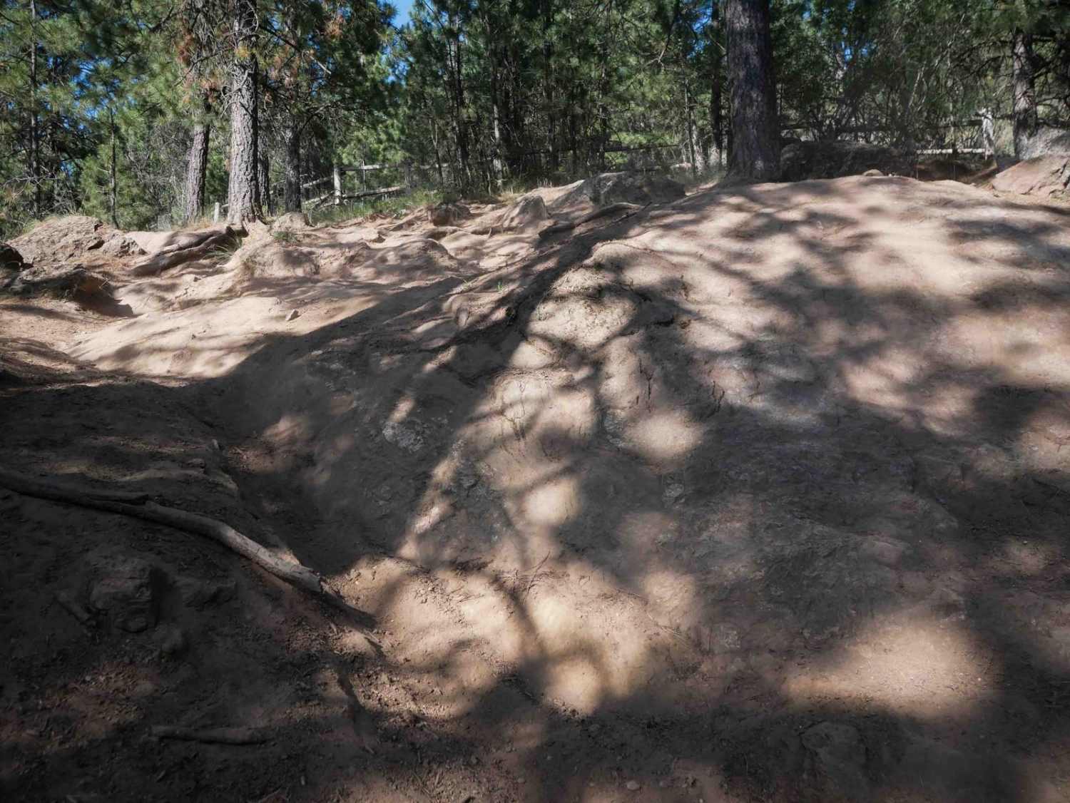
Trail Overview
This is a steep and challenging half-mile-long route that begins with a loose, steep climb full of rock faces and split lines that are narrow and rutted, leading up to the park's fence line on the eastern boundary of the ORV park. The trail goes south along the fence line, with a big optional rock obstacle. It is a somewhat ramped series of boulder ledges, but it can be bypassed on an easy trail around it. The trail continues to meander through scenic forest, staying narrow with frequent embedded rock features. Riders must also navigate a second big obstacle that is a steep rock-face drop-off with roots. The last segment of the trail transitions into a tight, rutted trail more like a singletrack, more suitable for dirt bikes. ATV riders would need to straddle ruts and maneuver through very confined terrain in the final section, or turn off onto another trail before continuing south.
Photos of East Boundary (More Difficult)

Difficulty
This is a more difficult trail due to its steep, loose climbs, rocky drop-offs, and narrow segments that require precise handling and advanced skill.
Status Reports
East Boundary (More Difficult) can be accessed by the following ride types:
- ATV (50")
- Dirt Bike
East Boundary (More Difficult) Map
Popular Trails
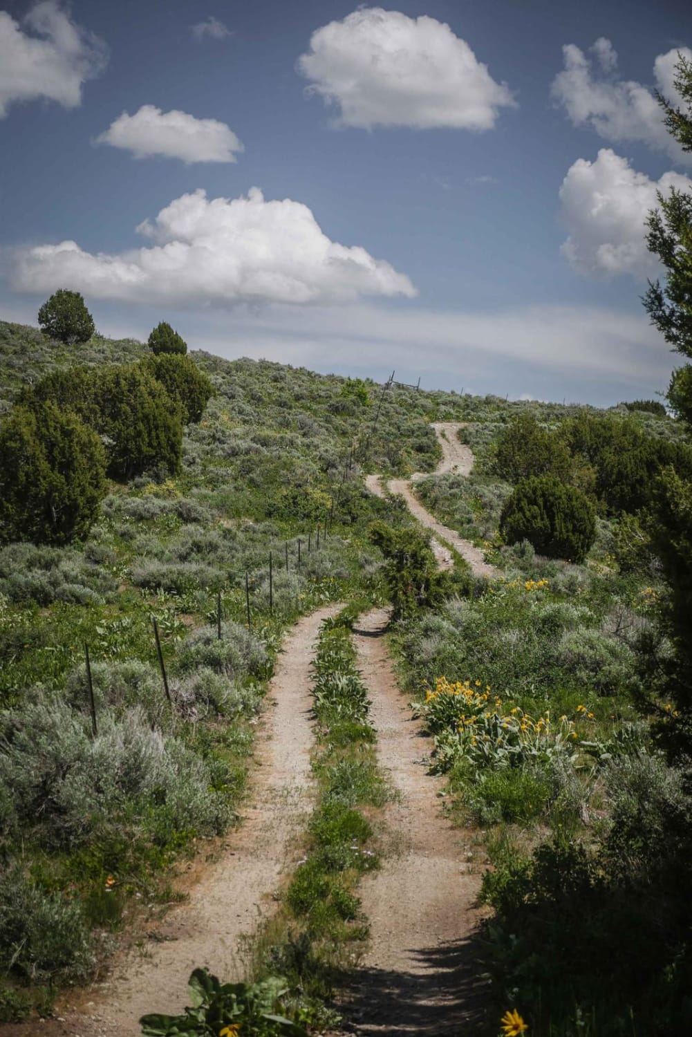
Trail Hollow to Maple Hollow

Reese Creek Road
Cascade Picnic

Goodenough - Bell Marsh Creek
The onX Offroad Difference
onX Offroad combines trail photos, descriptions, difficulty ratings, width restrictions, seasonality, and more in a user-friendly interface. Available on all devices, with offline access and full compatibility with CarPlay and Android Auto. Discover what you’re missing today!