East Declaration Trail #416
Total Miles
3.4
Technical Rating
Best Time
Spring, Summer, Fall
Trail Type
Single Track
Accessible By
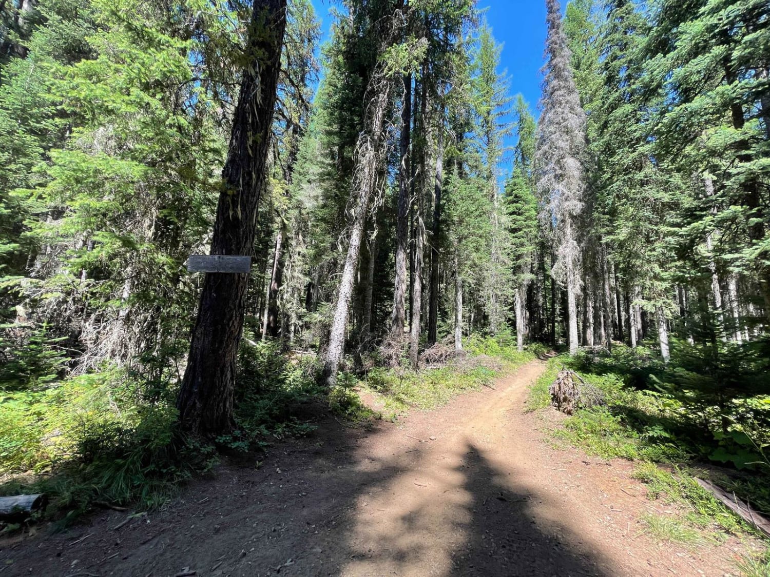
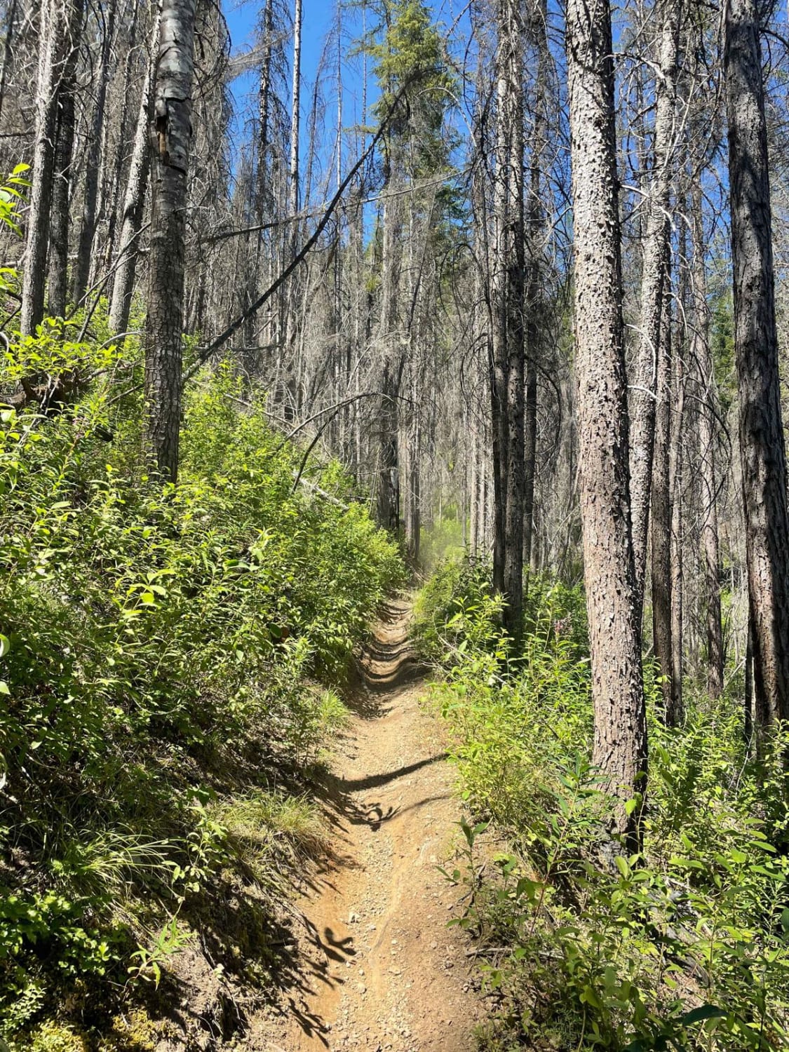
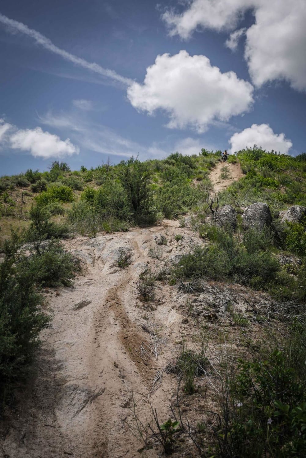
Trail Overview
East Declaration is a short single track in the CDA National Forest. Riding south to north, it is a steady incline from Independence Creek to Faset Peak Road. The trail is narrow, but up to 2 feet wide in sections. The trail gets pretty heavy use, shown by banked corners, ruts, whoops, and break bumps. This one gets dusty and has more sun exposure. There are small to medium size roots that are dry and easy to get up. The trail has mild ledge exposure at the beginning and more moderate exposure at the top. Beautiful views of the hillsides and surrounding mountains once you get to the top.
Photos of East Declaration Trail #416
Difficulty
Consistent difficulty level throughout, Intermediate rating mostly due to moderate ledge exposure.
Status Reports
East Declaration Trail #416 can be accessed by the following ride types:
- Dirt Bike
East Declaration Trail #416 Map
Popular Trails

Coon Creek Trail (FDR 3300)

Civil Defense Cave

East Fork Big Creek
The onX Offroad Difference
onX Offroad combines trail photos, descriptions, difficulty ratings, width restrictions, seasonality, and more in a user-friendly interface. Available on all devices, with offline access and full compatibility with CarPlay and Android Auto. Discover what you’re missing today!