Beaverland Pass to Hang Glider Launch
Total Miles
4.1
Technical Rating
Best Time
Spring, Summer, Fall
Trail Type
High-Clearance 4x4 Trail
Accessible By
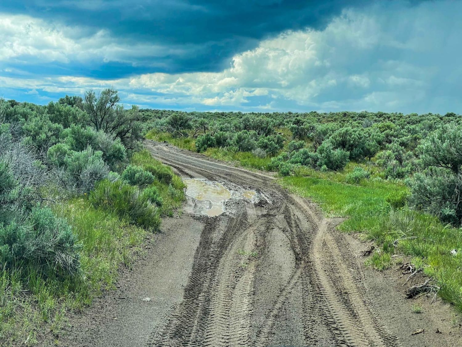
Trail Overview
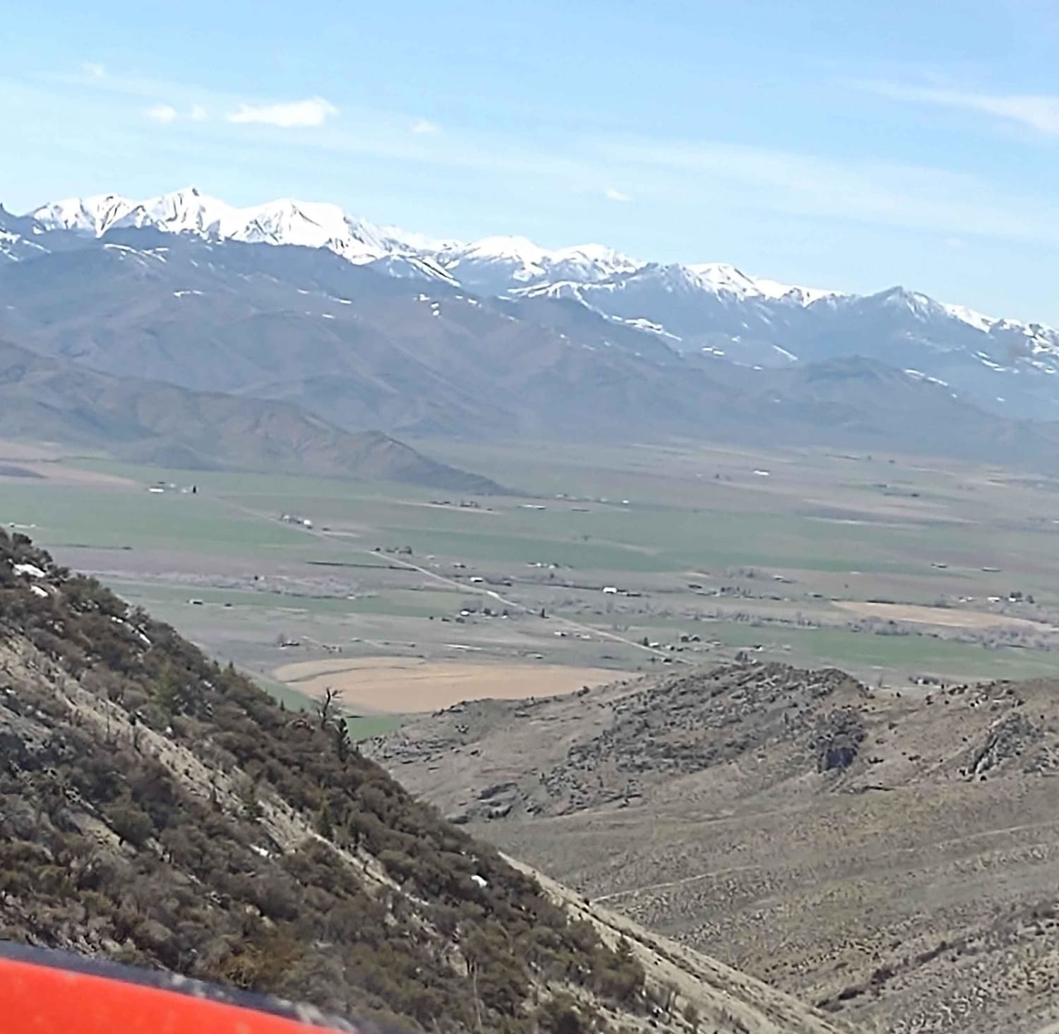
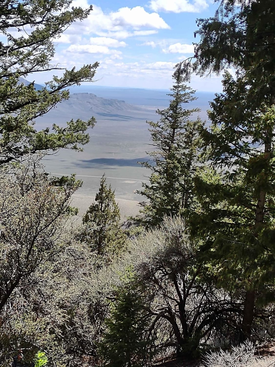
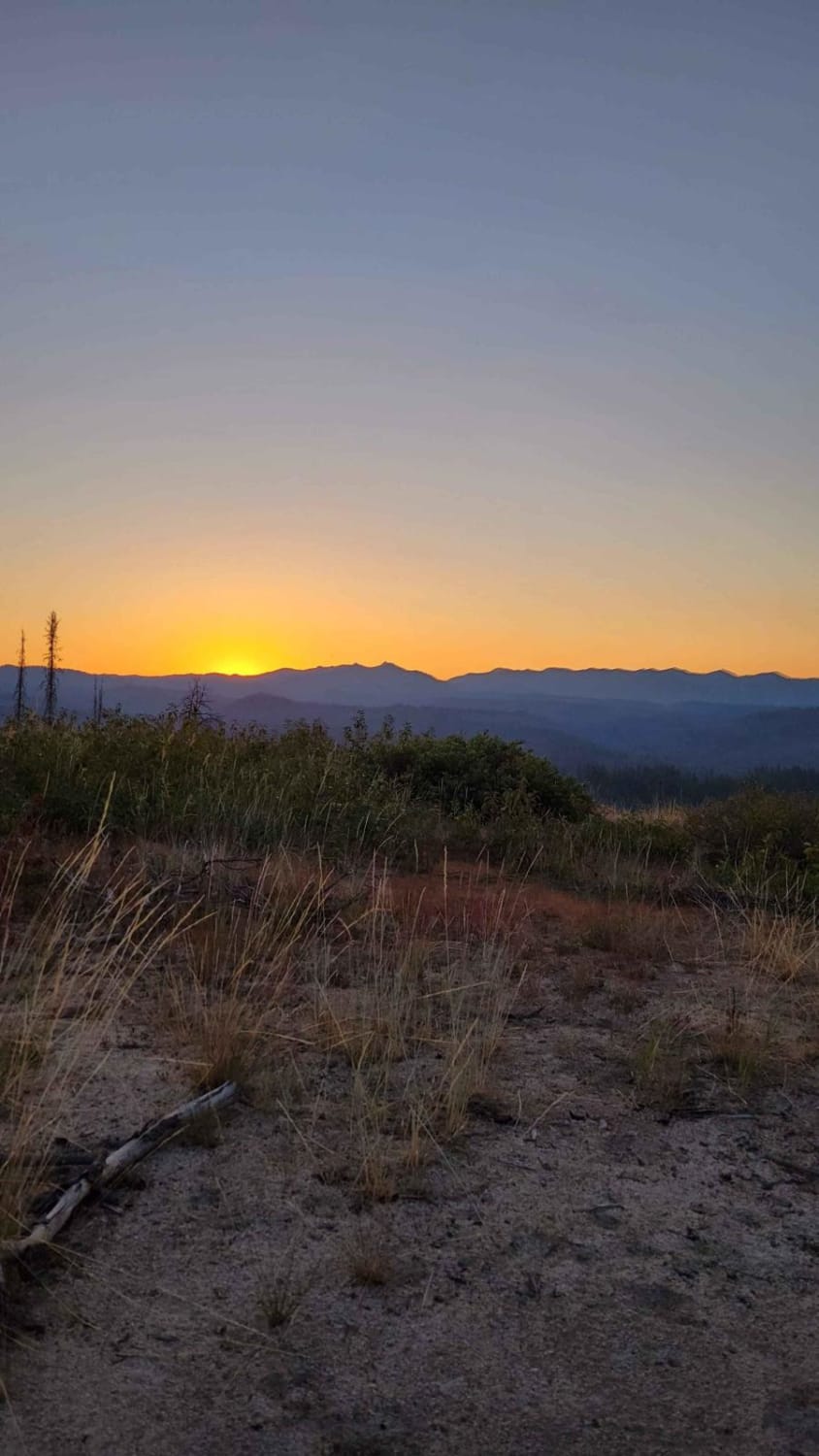
This 4-mile track takes you to over 8000 feet on King Mountain in the Challis National Forest. The views are spectacular. This trail includes rocky steep inclines and declines. If hang gliders are using the launch, avoid going to the top, but enjoy watching them from somewhere along King Canyon Road, King Border Road, or the valley below.
Photos of Beaverland Pass to Hang Glider Launch
Difficulty
This trail includes rocky steep inclines and declines. You climb almost 2000 feet in elevation in this four miles.
History
The Challis National Forest is an Idaho State Park, and the section of the Forest in this area covers 135K acres. In total, the Salmon-Challis National Forest covers 4.3 million acres.
Status Reports
Beaverland Pass to Hang Glider Launch can be accessed by the following ride types:
- High-Clearance 4x4
- SxS (60")
- ATV (50")
- Dirt Bike
Beaverland Pass to Hang Glider Launch Map
Popular Trails
Menan Butte to Market Lake
Whoop Um Up Trail

Horse Ridge Clop Clop
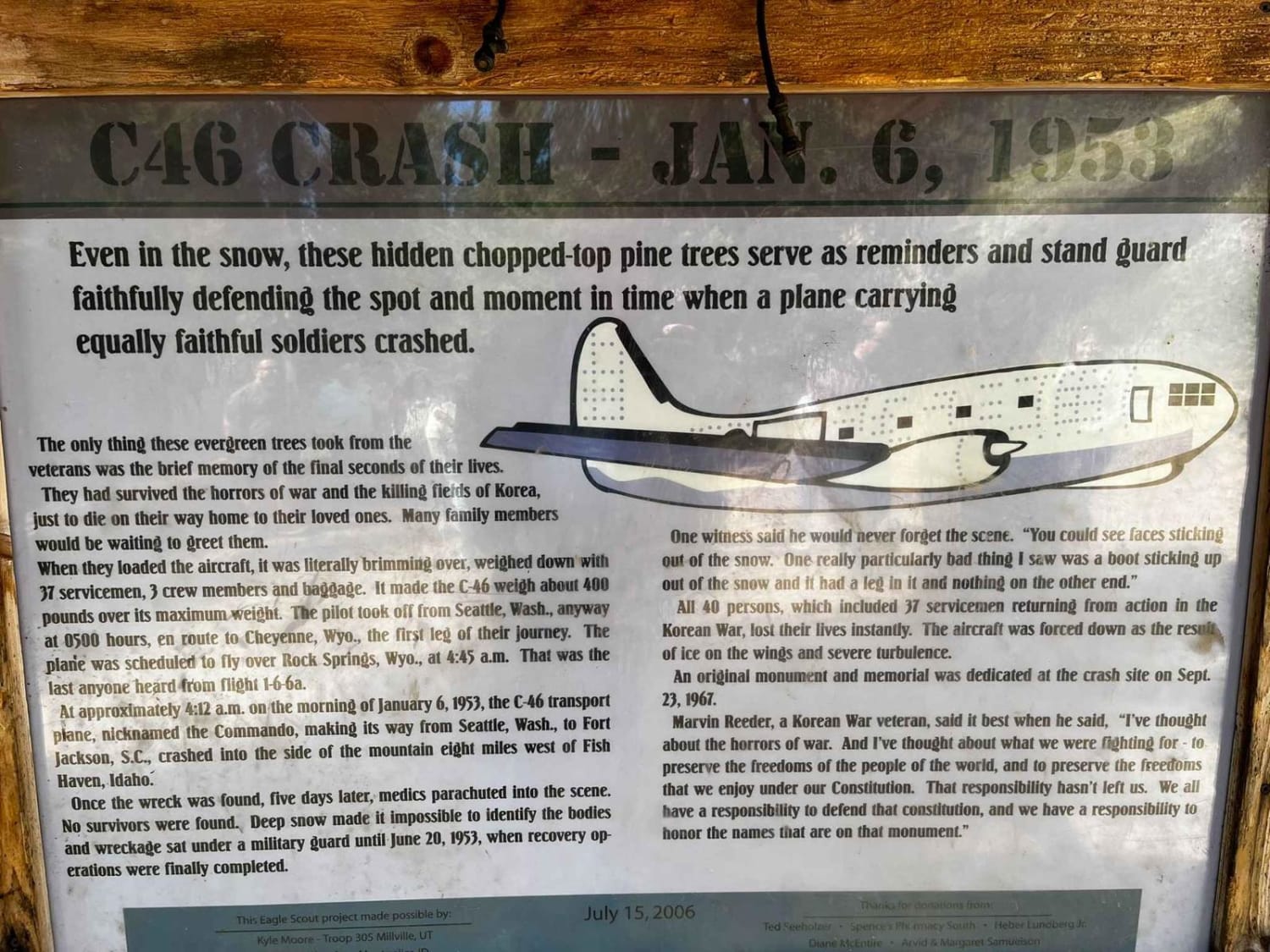
C-46 Plane Crash Site
The onX Offroad Difference
onX Offroad combines trail photos, descriptions, difficulty ratings, width restrictions, seasonality, and more in a user-friendly interface. Available on all devices, with offline access and full compatibility with CarPlay and Android Auto. Discover what you’re missing today!