Upper Slate Creek
Total Miles
6.5
Technical Rating
Best Time
Fall, Summer, Spring
Trail Type
Full-Width Road
Accessible By
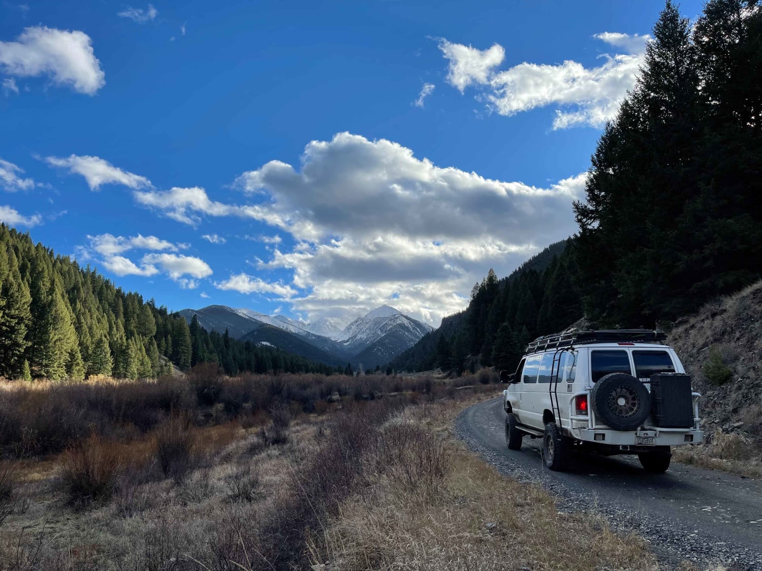
Trail Overview
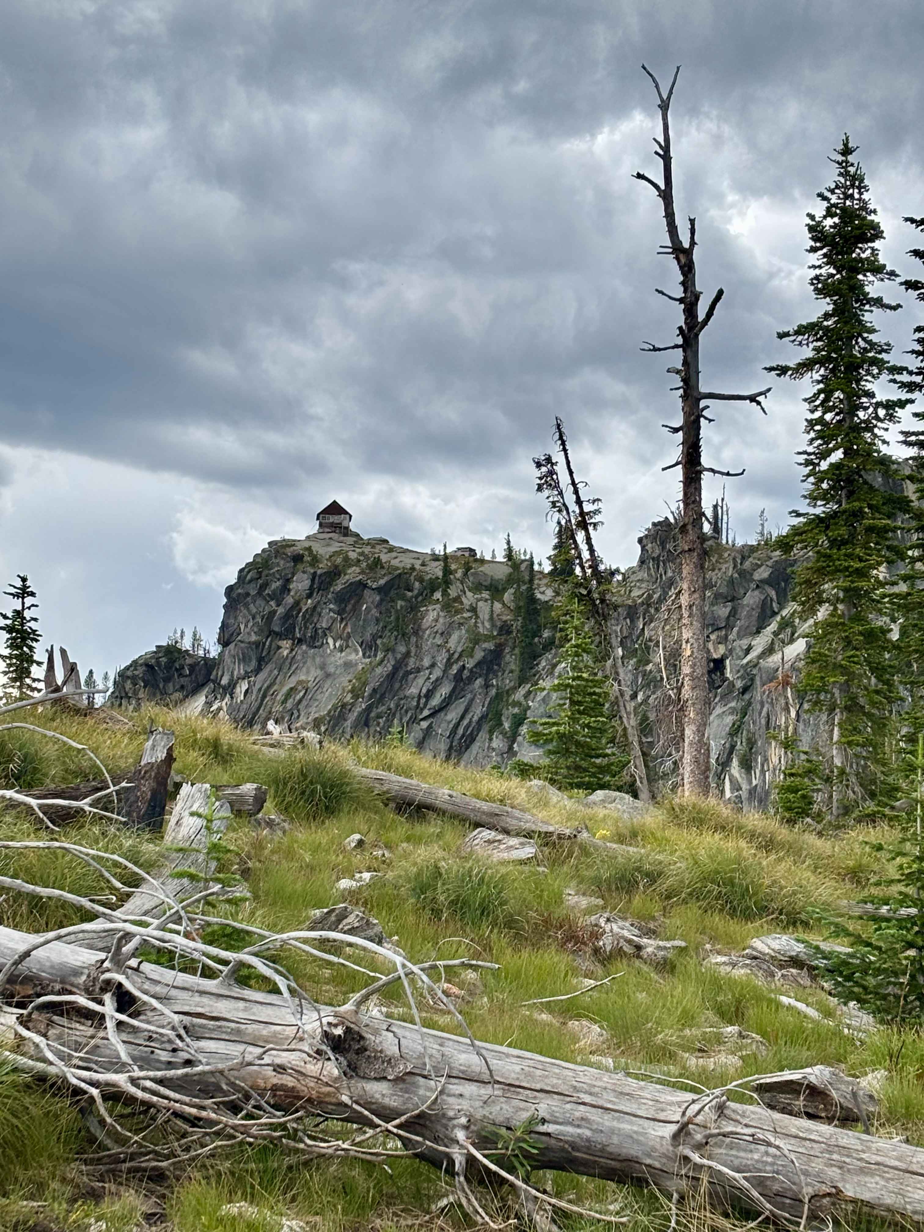
An easy out and back trail that leads up a canyon along Slate Creek to a nice hiking trail. Graded and no cell service. There are amazing views of the White Cloud Peaks as you head up, and there are a few dispersed camp spots along the creek. The trail is one lane in most places, with a few pullout spots to pass oncoming traffic. Saw deer, Grouse, and large birds. It may have some winter maintenance as there is a decent size ranch with multiple structures near the end of the trail.
Photos of Upper Slate Creek
Difficulty
Mostly hard-packed dirt with some decent-sized potholes was firm when wet. One lane with pullouts for oncoming traffic. Downed trees possible
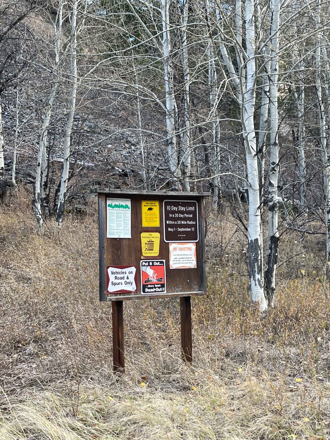
Status Reports
Upper Slate Creek can be accessed by the following ride types:
- High-Clearance 4x4
- SUV
- SxS (60")
- ATV (50")
- Dirt Bike
Upper Slate Creek Map
Popular Trails

Hells Half Acre
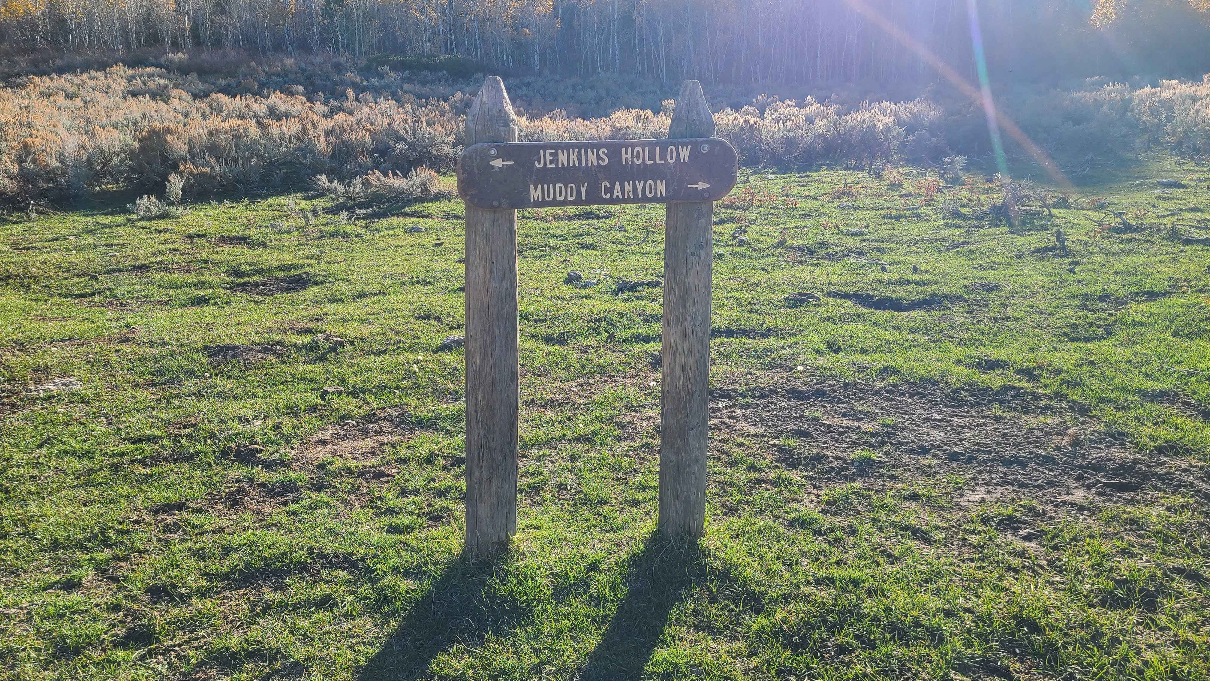
Jenkin's Hollow
Panhandle Overland Rally Welcome Trail
Burnt Knob Lookout
The onX Offroad Difference
onX Offroad combines trail photos, descriptions, difficulty ratings, width restrictions, seasonality, and more in a user-friendly interface. Available on all devices, with offline access and full compatibility with CarPlay and Android Auto. Discover what you’re missing today!