East Basin
Total Miles
3.0
Technical Rating
Best Time
Fall, Summer, Spring
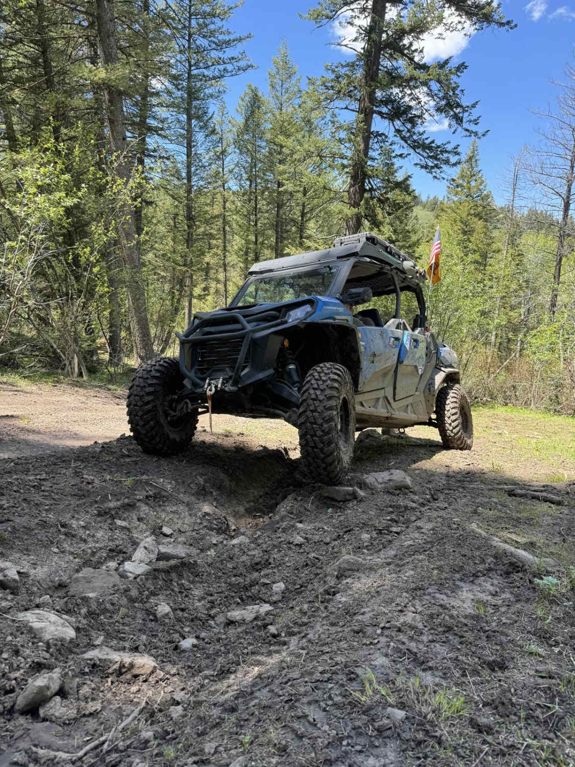
Trail Type
High-Clearance 4x4 Trail
Accessible By
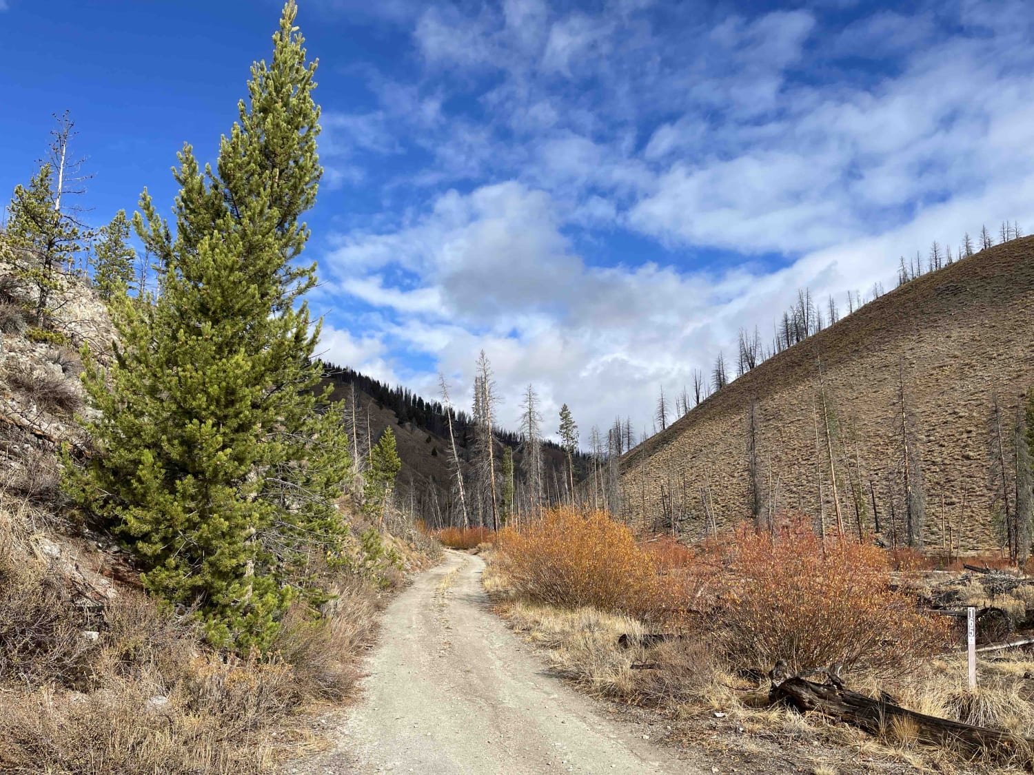
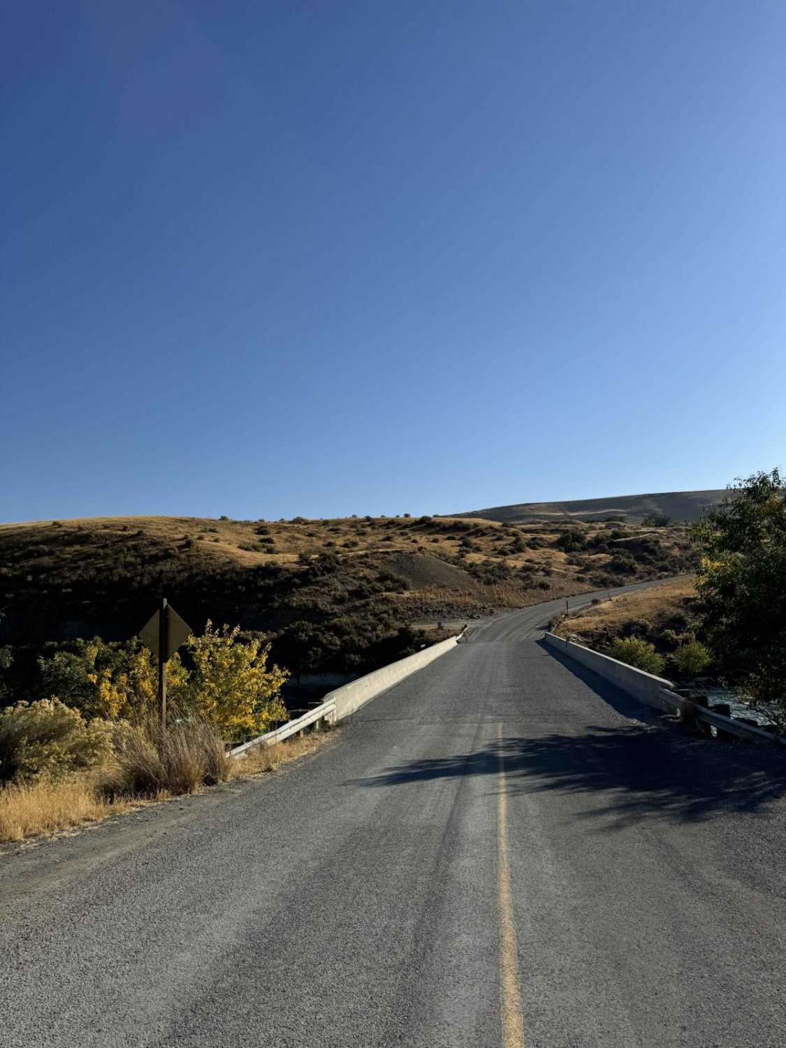
Trail Overview
An incredibly narrow trail with very few pullouts. There are washouts and off-camber sections with rockslides and downed trees very possible. This trail can be very muddy when wet, and super slick. . Almost no turnaround points except near the top. No winter maintenance. Beautiful views of the valley on the way up and 360 views from the top. A great summer 4x4 trail, a downed tree made it impassable for our full-size rig to make it. No cell service, recommend bringing a chain saw to clear the trail, especially in the springtime.
Photos of East Basin

Difficulty
Very narrow, some washed out sections forcing off-camber climbs up hillside, muddy and super slick when wet, not recommended for full size, heavy vehicles when wet.
Status Reports
East Basin can be accessed by the following ride types:
- High-Clearance 4x4
- SxS (60")
- ATV (50")
- Dirt Bike
East Basin Map
Popular Trails

Slate Peak ATV
June Creek Trail

Cold Spring Summit View #5211
The onX Offroad Difference
onX Offroad combines trail photos, descriptions, difficulty ratings, width restrictions, seasonality, and more in a user-friendly interface. Available on all devices, with offline access and full compatibility with CarPlay and Android Auto. Discover what you’re missing today!