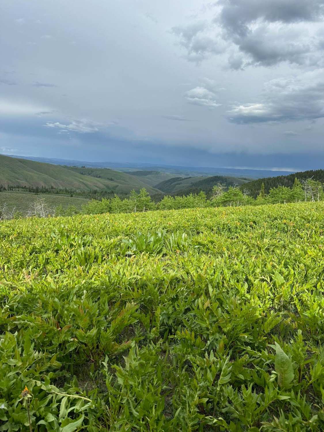
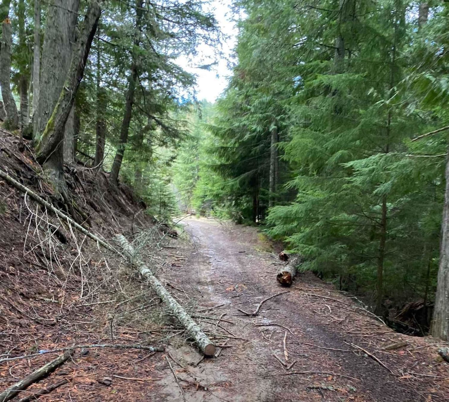
Off-Road Trails in Idaho
Discover off-road trails in Idaho
Learn more about Bone to Wolverine Brush Creek Run 
Bone to Wolverine Brush Creek Run
Total Miles
40.5
Tech Rating
Easy
Best Time
Spring, Summer, Fall
Learn more about Boss Canyon
Boss Canyon
Total Miles
7.9
Tech Rating
Easy
Best Time
Spring, Summer, Fall, Winter
Learn more about Boulder Creek Left Trail
Boulder Creek Left Trail
Total Miles
2.9
Tech Rating
Easy
Best Time
Summer, Fall
Learn more about Boundary Trail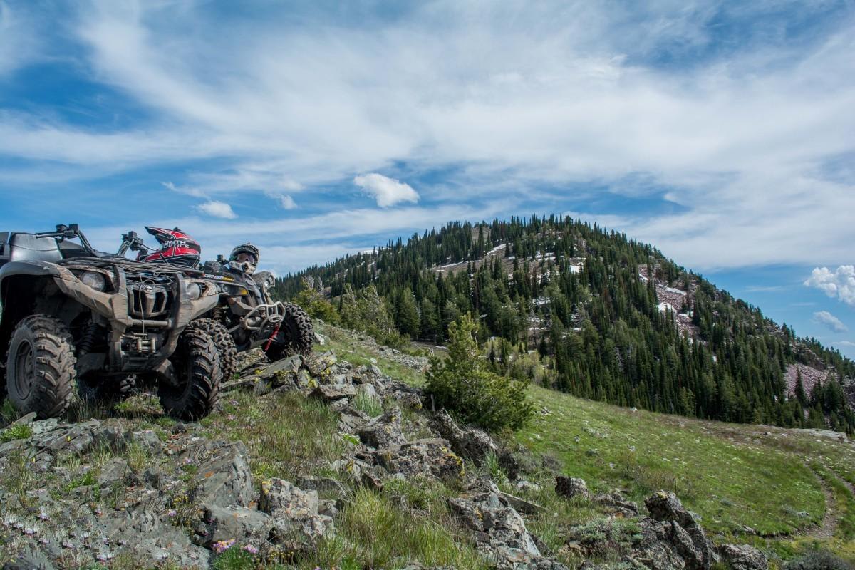
Boundary Trail
Total Miles
35.8
Tech Rating
Moderate
Best Time
Spring, Summer, Fall
Learn more about Bovill - Hemlock Butte
Bovill - Hemlock Butte
Total Miles
16.9
Tech Rating
Easy
Best Time
Summer, Fall, Spring
Learn more about Bowery - FS 7114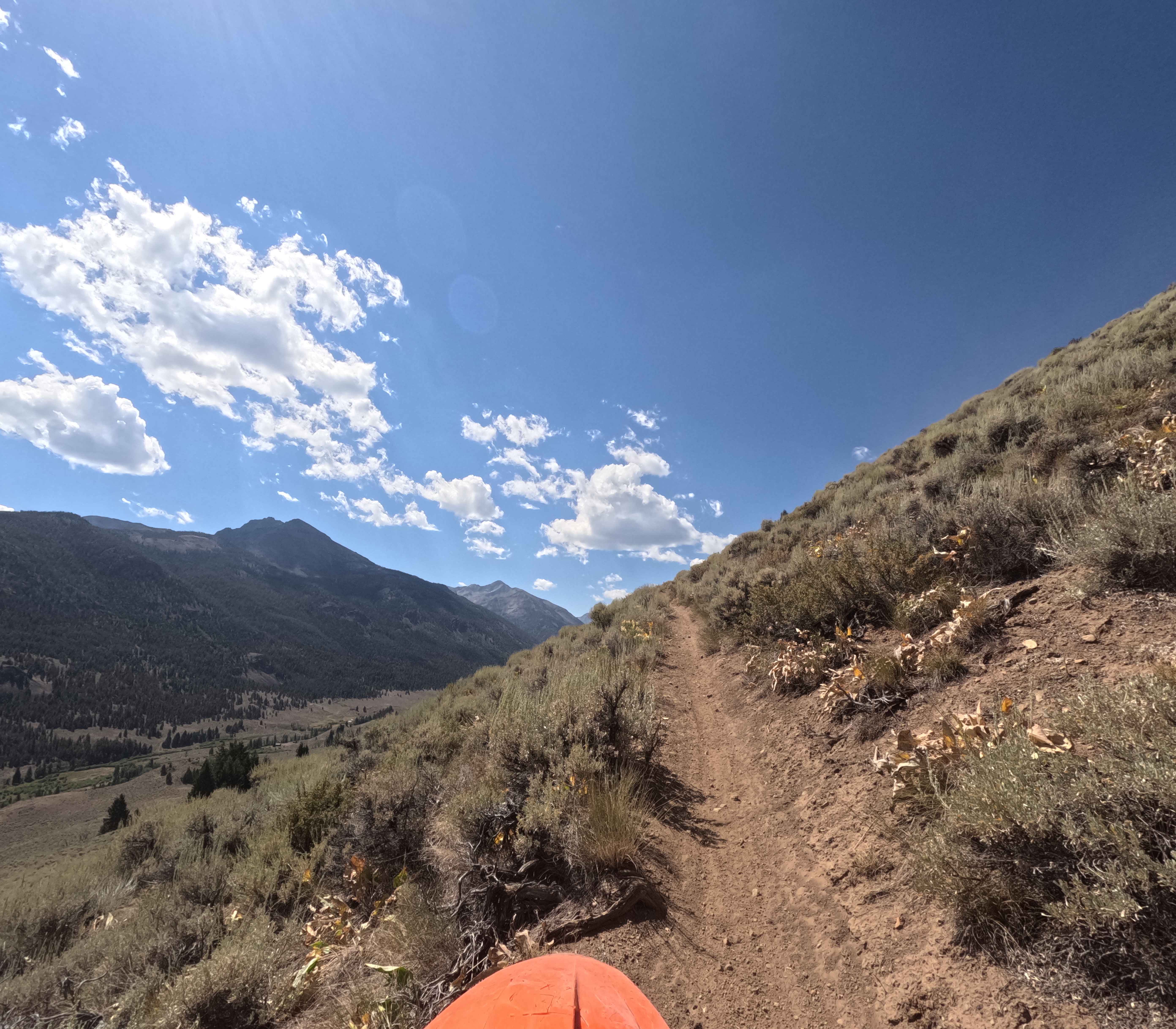
Bowery - FS 7114
Total Miles
4.5
Tech Rating
Moderate
Best Time
Summer, Fall
Learn more about Box Canyon Trailhead
Box Canyon Trailhead
Total Miles
1.9
Tech Rating
Easy
Best Time
Fall, Summer, Spring
Learn more about Bremner Trail 
Bremner Trail
Total Miles
7.3
Tech Rating
Difficult
Best Time
Spring, Summer, Fall
Learn more about Brennan
Brennan
Total Miles
1.8
Tech Rating
Moderate
Best Time
Fall, Winter, Spring, Summer
Learn more about Broken Wagon
Broken Wagon
Total Miles
9.8
Tech Rating
Moderate
Best Time
Spring, Summer, Fall
Learn more about Bronson Meadows Loop
Bronson Meadows Loop
Total Miles
15.6
Tech Rating
Difficult
Best Time
Summer
Learn more about Brown Creek/Downy Creek (207)
Brown Creek/Downy Creek (207)
Total Miles
6.4
Tech Rating
Easy
Best Time
Summer, Fall
Learn more about Brundage Mountain
Brundage Mountain
Total Miles
11.2
Tech Rating
Easy
Best Time
Summer, Fall
Learn more about Brundage Outlook Spur
Brundage Outlook Spur
Total Miles
0.9
Tech Rating
Easy
Best Time
Summer, Fall
Learn more about Brush Creek - Trail 289
Brush Creek - Trail 289
Total Miles
2.6
Tech Rating
Easy
Best Time
Spring, Summer, Fall, Winter
Learn more about Buffalo River via Fish Creek
Buffalo River via Fish Creek
Total Miles
20.8
Tech Rating
Easy
Best Time
Spring, Summer, Fall
ATV trails in Idaho
Learn more about Aspen Range - Middle Sulphur #5248 
Aspen Range - Middle Sulphur #5248
Total Miles
1.9
Tech Rating
Easy
Best Time
Summer, Fall
Learn more about Dry Fork - Meadow Springs #5226 
Dry Fork - Meadow Springs #5226
Total Miles
0.4
Tech Rating
Easy
Best Time
Summer, Fall
Learn more about South Foothill Road
South Foothill Road
Total Miles
8.2
Tech Rating
Moderate
Best Time
Summer, Fall

UTV/side-by-side trails in Idaho
Learn more about South Foothill Road
South Foothill Road
Total Miles
8.2
Tech Rating
Moderate
Best Time
Summer, Fall

Learn more about 21 To Nip & Tuck
21 To Nip & Tuck
Total Miles
1.4
Tech Rating
Easy
Best Time
Fall, Summer, Spring

The onX Offroad Difference
onX Offroad combines trail photos, descriptions, difficulty ratings, width restrictions, seasonality, and more in a user-friendly interface. Available on all devices, with offline access and full compatibility with CarPlay and Android Auto. Discover what you’re missing today!