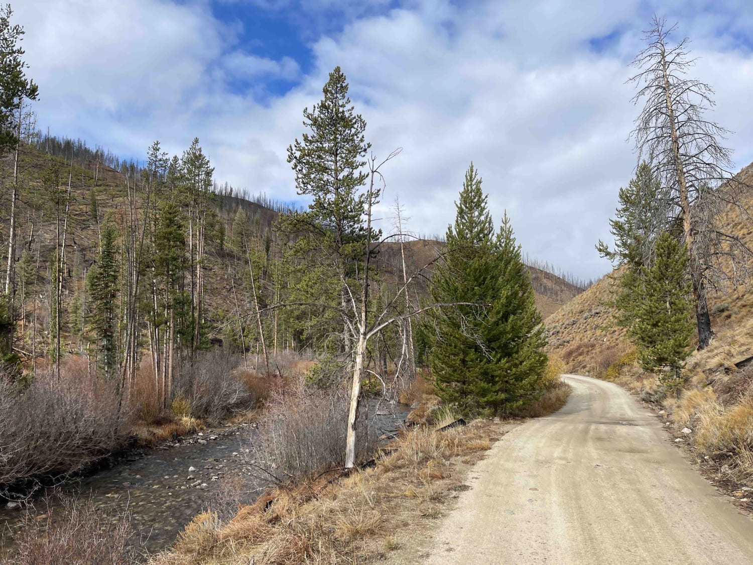
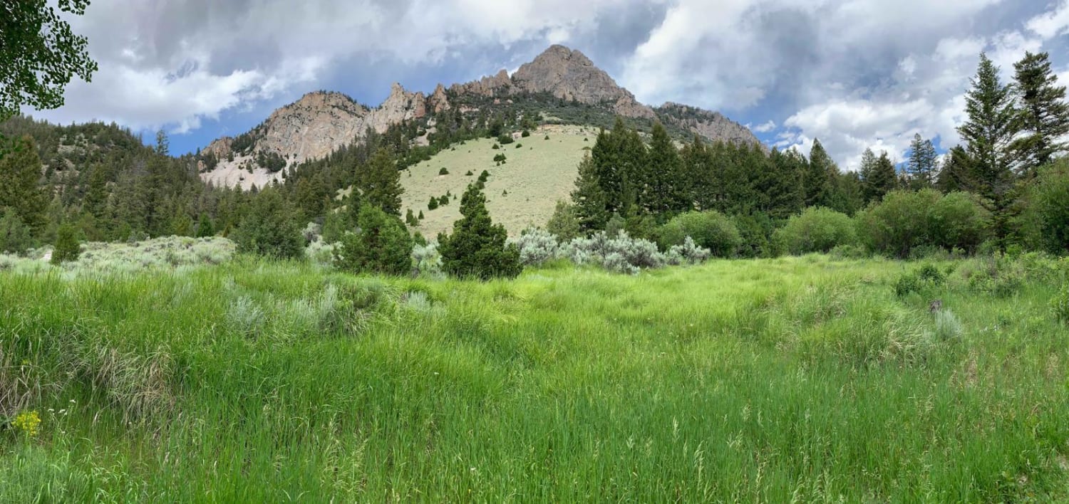
Off-Road Trails in Idaho
Discover off-road trails in Idaho
Learn more about Bailey Creek #3331 
Bailey Creek #3331
Total Miles
6.4
Tech Rating
Moderate
Best Time
Summer, Fall
Learn more about Bailey Ridge #3118 
Bailey Ridge #3118
Total Miles
1.4
Tech Rating
Easy
Best Time
Summer, Fall
Learn more about Bald Mountain
Bald Mountain
Total Miles
24.2
Tech Rating
Moderate
Best Time
Spring, Summer, Fall
Learn more about Bald Mountain Lookout - FS 377A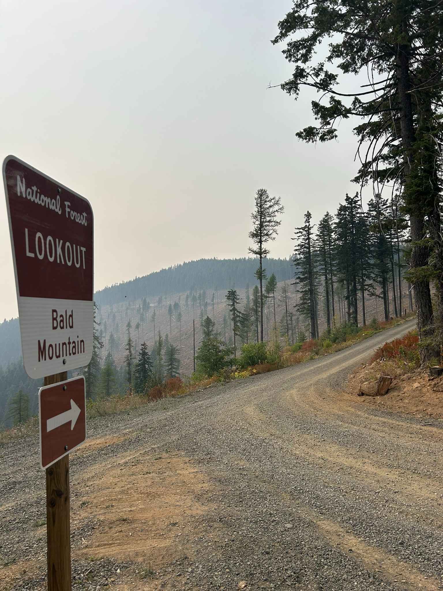
Bald Mountain Lookout - FS 377A
Total Miles
1.1
Tech Rating
Easy
Best Time
Spring, Summer, Fall, Winter
Learn more about Barney Creek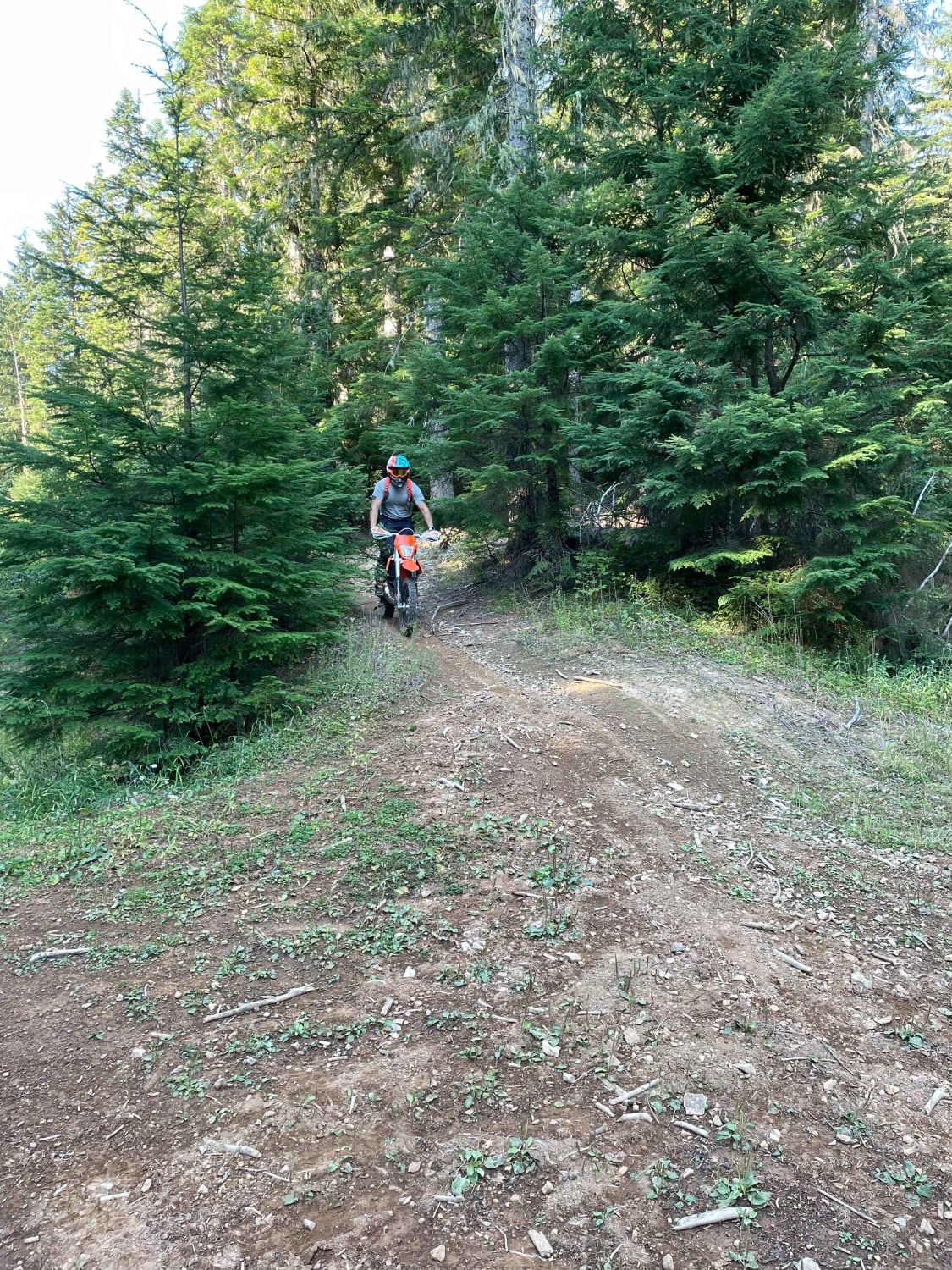
Barney Creek
Total Miles
3.0
Tech Rating
Moderate
Best Time
Spring, Summer, Fall
Learn more about Barney Hot Spring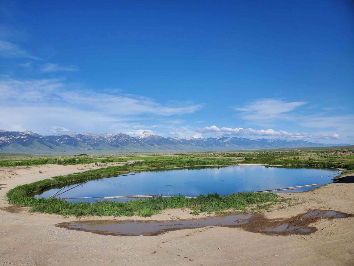
Barney Hot Spring
Total Miles
8.6
Tech Rating
Easy
Best Time
Summer, Fall, Spring
Learn more about Basin Butte - Prospect Creek 
Basin Butte - Prospect Creek
Total Miles
4.7
Tech Rating
Moderate
Best Time
Summer, Fall
Learn more about Basin Butte Lookout Tower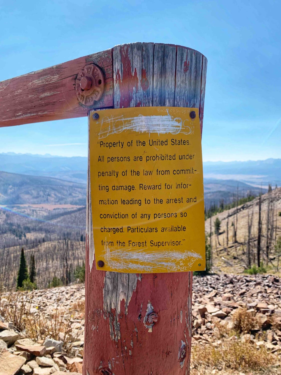
Basin Butte Lookout Tower
Total Miles
8.1
Tech Rating
Easy
Best Time
Summer, Fall
Learn more about Bear Canyon #5123 
Bear Canyon #5123
Total Miles
2.1
Tech Rating
Easy
Best Time
Summer, Fall


Learn more about Bear Trap Cave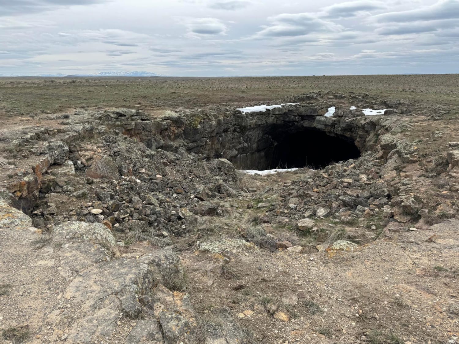
Bear Trap Cave
Total Miles
18.3
Tech Rating
Easy
Best Time
Spring, Summer, Fall
Learn more about Bear Trap Cave North
Bear Trap Cave North
Total Miles
32.2
Tech Rating
Easy
Best Time
Spring, Summer, Fall, Winter
Learn more about Bear Trap/Crystal Ice Cave Trail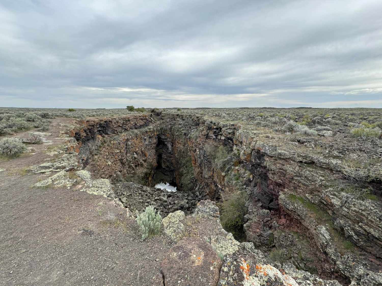
Bear Trap/Crystal Ice Cave Trail
Total Miles
9.9
Tech Rating
Easy
Best Time
Spring, Summer, Fall
Learn more about Bear Valley to Lowman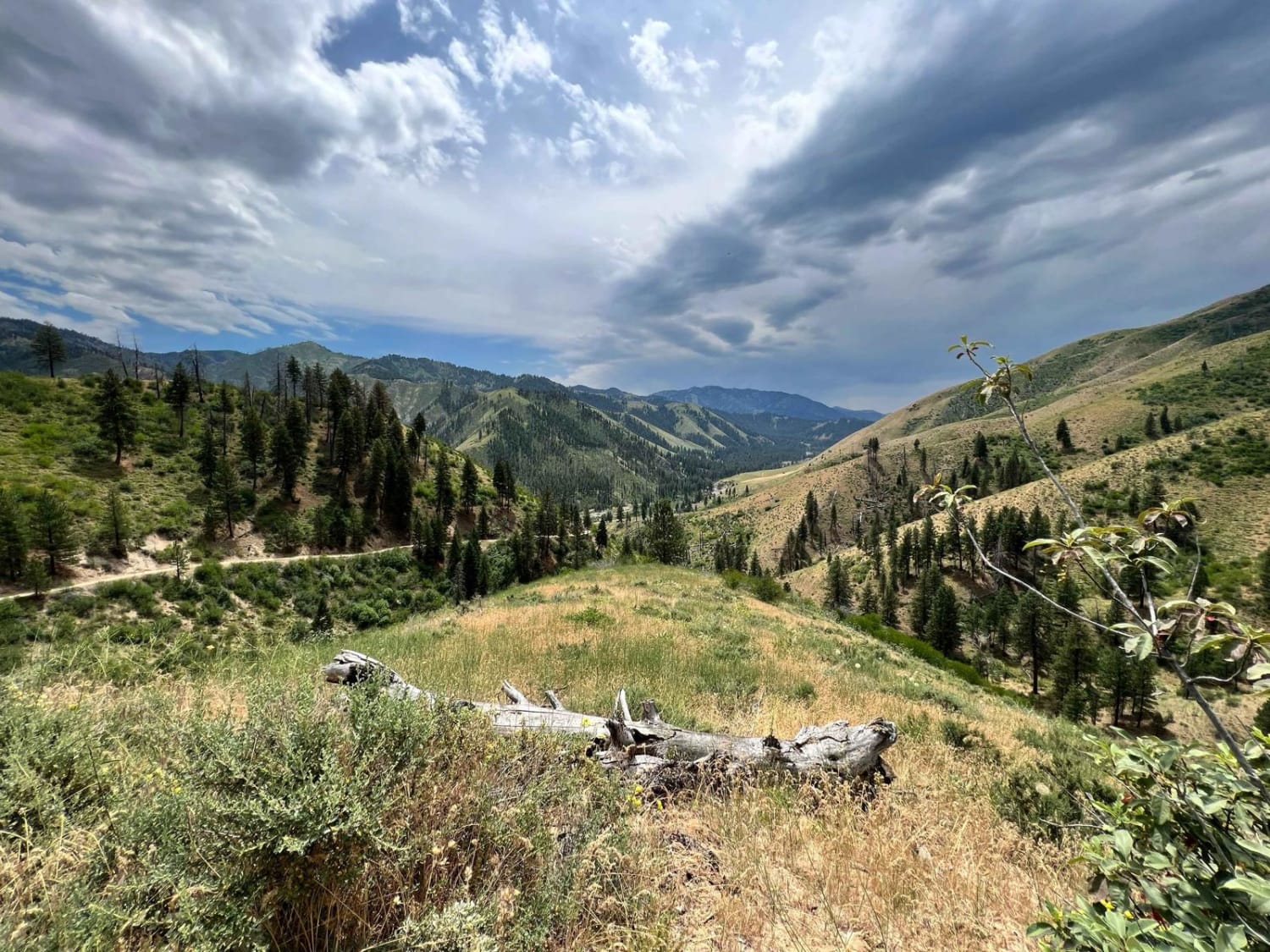
Bear Valley to Lowman
Total Miles
22.9
Tech Rating
Easy
Best Time
Spring, Summer, Fall
Learn more about Bear Wallow #3442 
Bear Wallow #3442
Total Miles
5.5
Tech Rating
Moderate
Best Time
Summer, Fall
ATV trails in Idaho
Learn more about Aspen Range - Middle Sulphur #5248 
Aspen Range - Middle Sulphur #5248
Total Miles
1.9
Tech Rating
Easy
Best Time
Summer, Fall
Learn more about Dry Fork - Meadow Springs #5226 
Dry Fork - Meadow Springs #5226
Total Miles
0.4
Tech Rating
Easy
Best Time
Summer, Fall
Learn more about South Foothill Road
South Foothill Road
Total Miles
8.2
Tech Rating
Moderate
Best Time
Summer, Fall

UTV/side-by-side trails in Idaho
Learn more about South Foothill Road
South Foothill Road
Total Miles
8.2
Tech Rating
Moderate
Best Time
Summer, Fall

Learn more about 21 To Nip & Tuck
21 To Nip & Tuck
Total Miles
1.4
Tech Rating
Easy
Best Time
Fall, Summer, Spring

The onX Offroad Difference
onX Offroad combines trail photos, descriptions, difficulty ratings, width restrictions, seasonality, and more in a user-friendly interface. Available on all devices, with offline access and full compatibility with CarPlay and Android Auto. Discover what you’re missing today!