Bear Canyon #5123
Total Miles
2.1
Technical Rating
Best Time
Summer, Fall
Trail Type
50" Trail
Accessible By
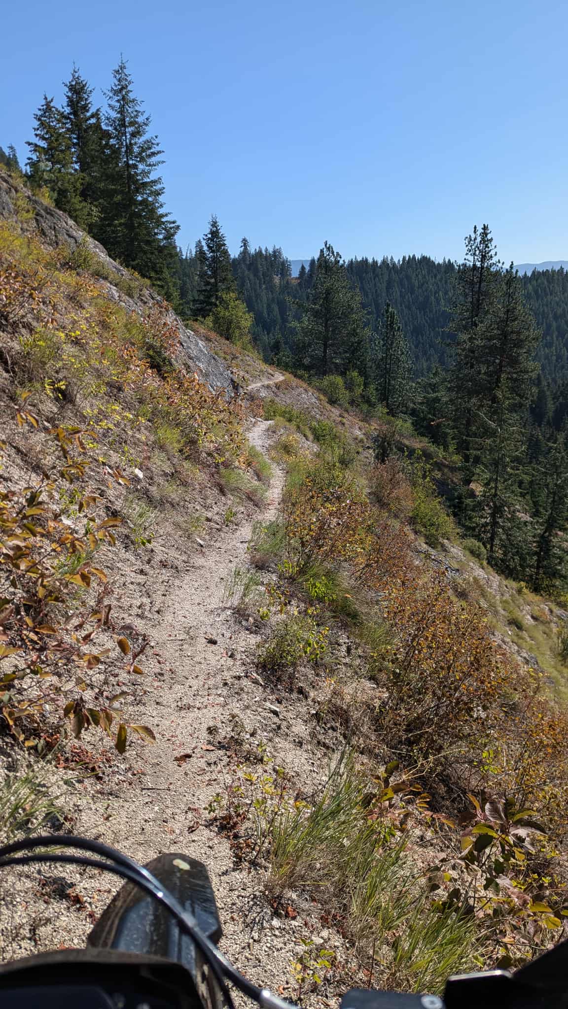
Trail Overview
Bear Canyon #5123 is an easy 2.1-mile ATV trail that descends steeply from Webster Ridge down to Bear Canyon Road, dropping over 1,200 feet from east to west. The route is narrow and shelfy in places, with waterbars and small loose rocks, but the surface is mostly smooth dirt and well-maintained. A few wooden bridges span creek crossings, and logs have been cut back to keep the trail open. The terrain is dry and dusty in summer, with leafy vegetation lining the path and a mix of pines and aspens providing varied scenery. Despite the steep grade, the overall ride is mellow and well suited to less experienced riders. Its proximity to dispersed camping and connections to Coyote Creek and Webster Ridge make it a popular option for scenic loop rides, so you'll likely see other trail users.
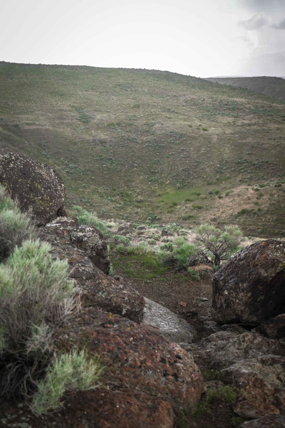
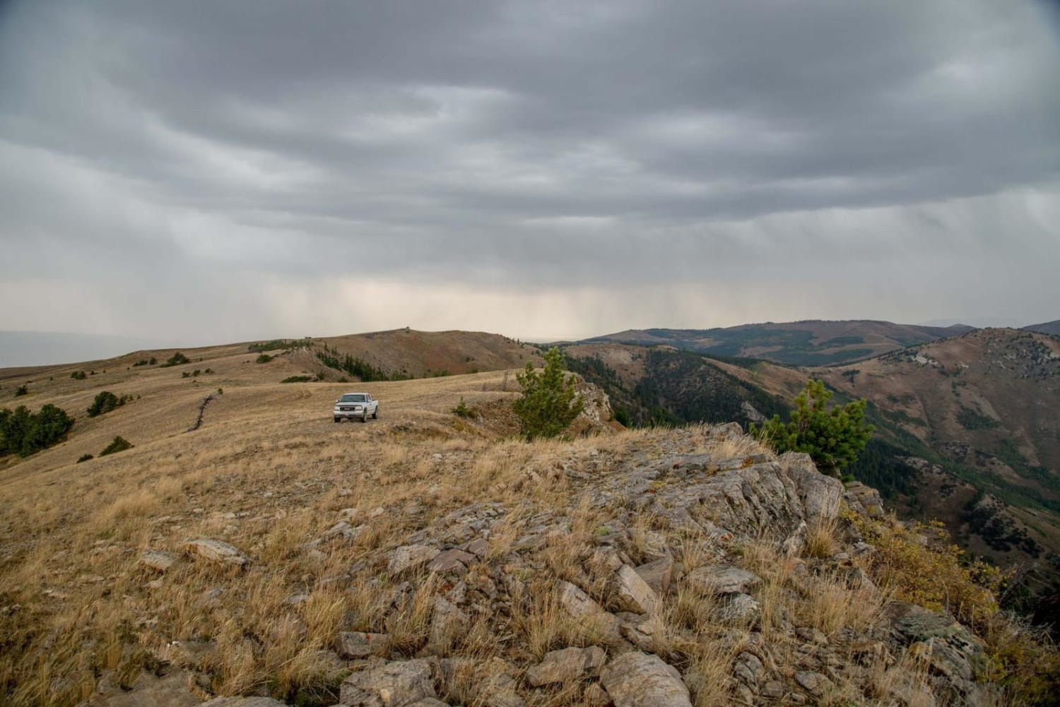
Photos of Bear Canyon #5123


Difficulty
This is an easy trail due to the smooth surface, light obstacles, and good maintenance, despite the steep descent and narrow shelf sections. It's ideal for less experienced riders.
Status Reports
Bear Canyon #5123 can be accessed by the following ride types:
- ATV (50")
- Dirt Bike
Bear Canyon #5123 Map
Popular Trails
Swami (More Difficult)
Logger Springs Road
Iowa Creek - 452
The onX Offroad Difference
onX Offroad combines trail photos, descriptions, difficulty ratings, width restrictions, seasonality, and more in a user-friendly interface. Available on all devices, with offline access and full compatibility with CarPlay and Android Auto. Discover what you’re missing today!