Basin Butte Lookout Tower
Total Miles
8.1
Technical Rating
Best Time
Summer, Fall
Trail Type
Full-Width Road
Accessible By
Trail Overview
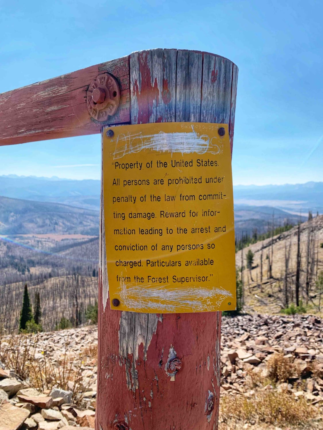
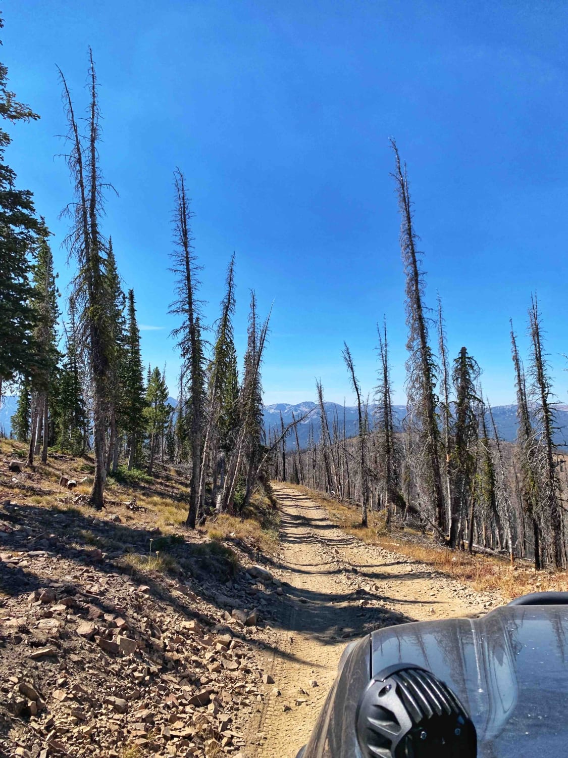
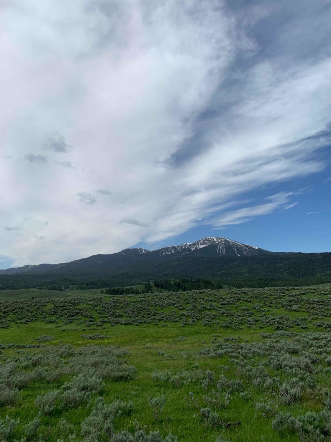
Fun switchback style dirt trail with steeper climbs towards the end to reach the Basin Butte Lookout Tower. Stunning views of the mountain ranges from the top where the tower is. The trail begins crossing open range with views of the sawtooths to the left across the fields, the gate is unlocked but needs to be closed after entry. Once past the open range, there are several very nice dispersed campsites with views of the mountains and accessible with a trailer. The trail narrows and begins to climb through the trees, from this point on 4WD and high-clearance vehicles would be recomeded and no trailers. The trail gets bumpier, narrows, drives along ridgelines and has sections that are one lane with no easy pull outs. The last two or so miles are rockier and looser as well as steep requiring 4low because they are longer. There is parking and a fire ring at the top near the Basin Butte Tower. The tower is locked but the deck can be accessed.
Photos of Basin Butte Lookout Tower
Difficulty
The last two or so miles are rockier and looser as well as steep requiring 4low because they are longer. Some areas of the trail are narrow one lane with no good areas for multiple vehicles to pass, the pullouts can be scarce in these sections and vehicles would have to back up a ways.
History
Basin Butte Lookout is a historic R4-80 standard plan fire lookout. Built in 1934, the lookout provided fire protection for the Stanley Basin and the Salmon River Mountains until it fell into disuse as aircraft replaced lookouts as the primary means of fire detection. Although the building was planned for replacement in the late 1970s, those plans were never carried out, and the lookout remains for the most part unchanged since its construction.
Status Reports
Basin Butte Lookout Tower can be accessed by the following ride types:
- High-Clearance 4x4
- SUV
- SxS (60")
- ATV (50")
- Dirt Bike
Basin Butte Lookout Tower Map
Popular Trails

Civil Defense Cave
Middle Fork Warm Springs - FS 7150
Iowa Creek - 452
Dans Creek to Caribou Basin
The onX Offroad Difference
onX Offroad combines trail photos, descriptions, difficulty ratings, width restrictions, seasonality, and more in a user-friendly interface. Available on all devices, with offline access and full compatibility with CarPlay and Android Auto. Discover what you’re missing today!
