Arco Pass to Iron Creek
Total Miles
1.9
Technical Rating
Best Time
Spring, Summer, Fall
Trail Type
High-Clearance 4x4 Trail
Accessible By
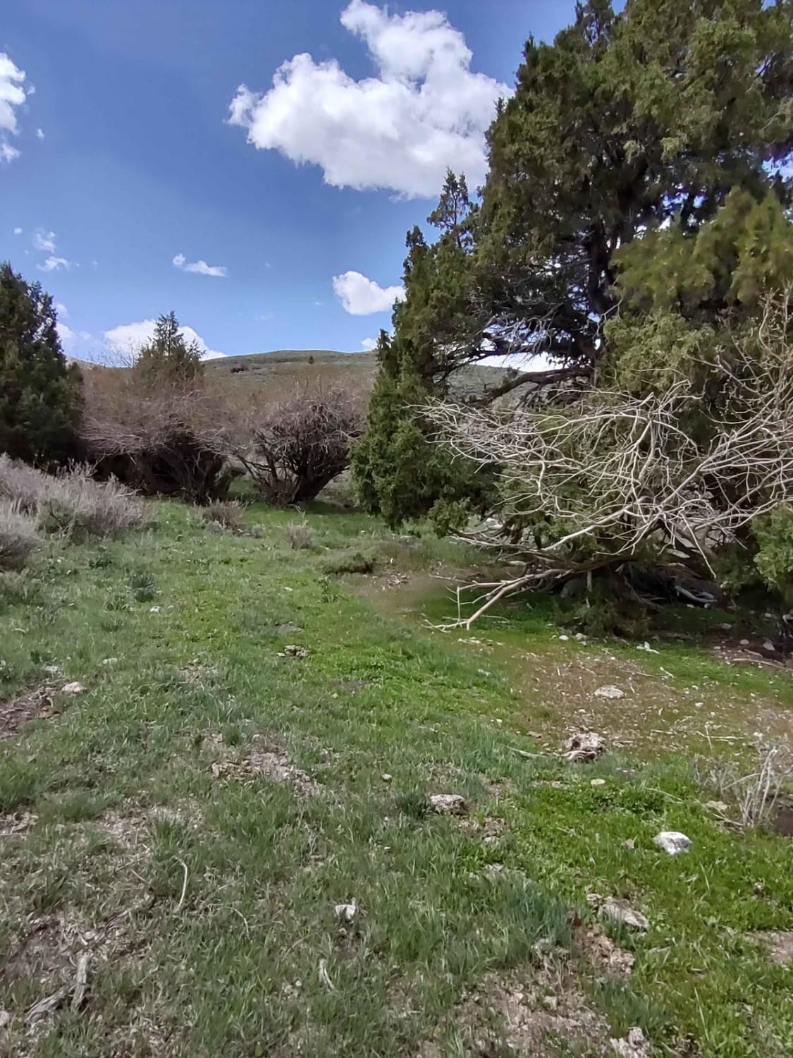
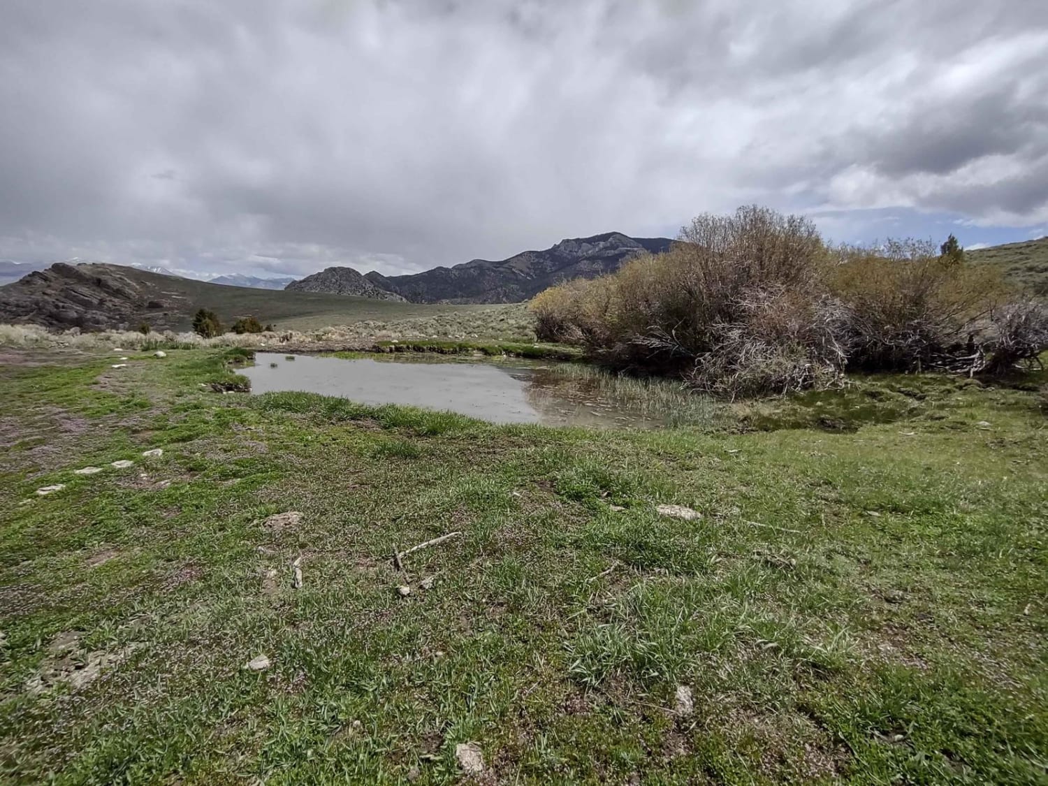
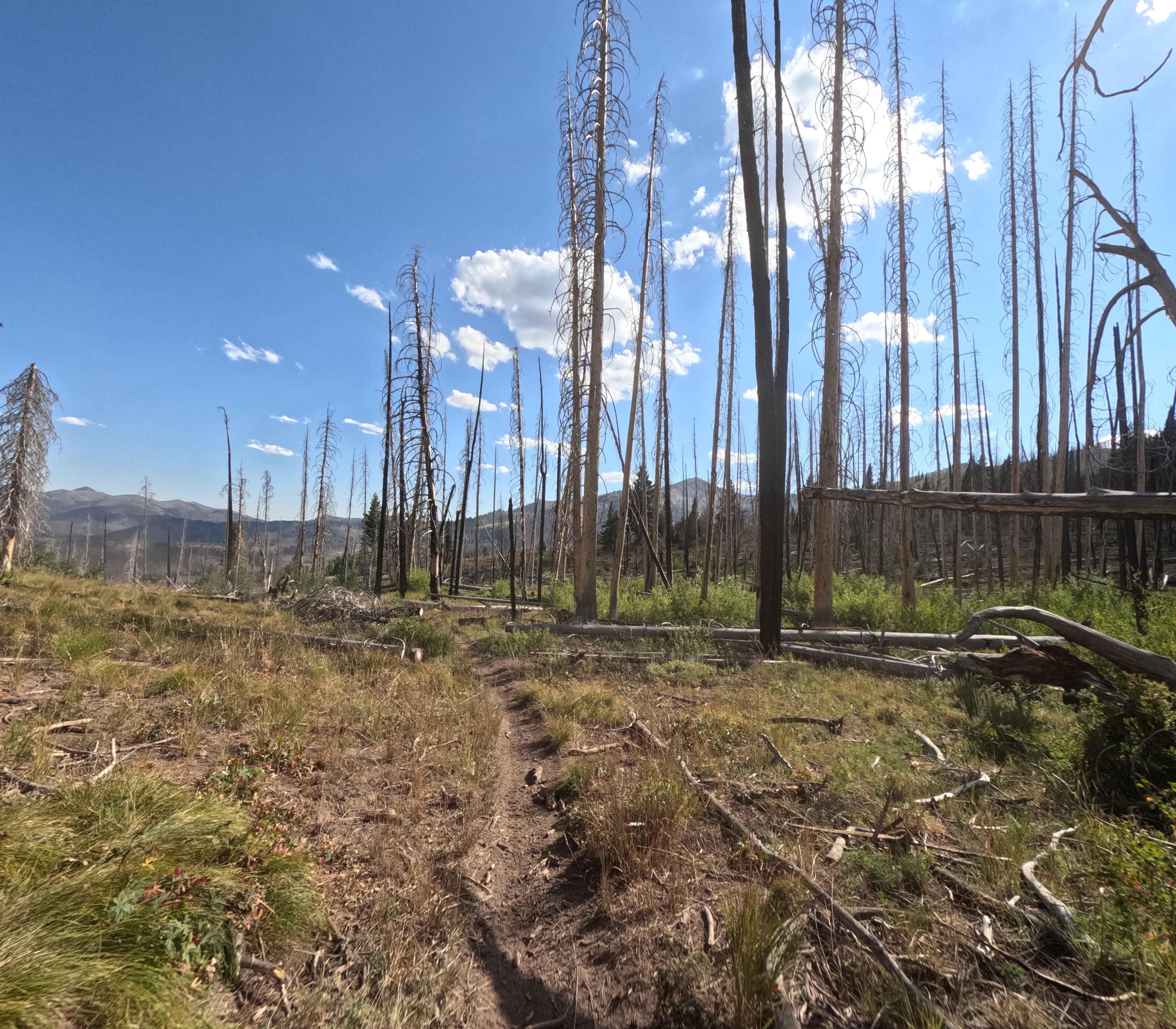
Trail Overview
This 2-mile track takes you further down the Arco Pass Road to the Iron Creek Spur into Corral Canyon. The views are amazing, the wildlife is plentiful, and the scenery is hard to beat. You're at about 6,300 feet in the Challis National Forest. Early in the springtime, this trail may be covered with snow and/or mud.
Photos of Arco Pass to Iron Creek
Difficulty
This is easy riding unless it's early spring or after a heavy rain. Snow may be present, and erosion happens in places with run-off.
History
The Shoshone Indians first called this area home, as did the Blackfoot Indians. Fur trappers working for the North West Company and Hudson's Bay Company led trappers and explorers here in the early 1800s. Hudson's Bay Company's last expedition between 1830 and 1832 found the beaver population so eradicated by earlier trappers that they abandoned trapping in this area. The Lost River Valley from Arco to Mackay is rich in mining history, and there is a wonderful museum in Mackay.
Status Reports
Arco Pass to Iron Creek can be accessed by the following ride types:
- High-Clearance 4x4
- SxS (60")
- ATV (50")
- Dirt Bike
Arco Pass to Iron Creek Map
Popular Trails


Canfield Mountain- Trail 11
Placer Creek Trail - FS 7141

Blue Ridge - FS 7048
The onX Offroad Difference
onX Offroad combines trail photos, descriptions, difficulty ratings, width restrictions, seasonality, and more in a user-friendly interface. Available on all devices, with offline access and full compatibility with CarPlay and Android Auto. Discover what you’re missing today!