Basinger Canyon
Total Miles
4.3
Technical Rating
Best Time
Summer, Fall
Trail Type
Full-Width Road
Accessible By
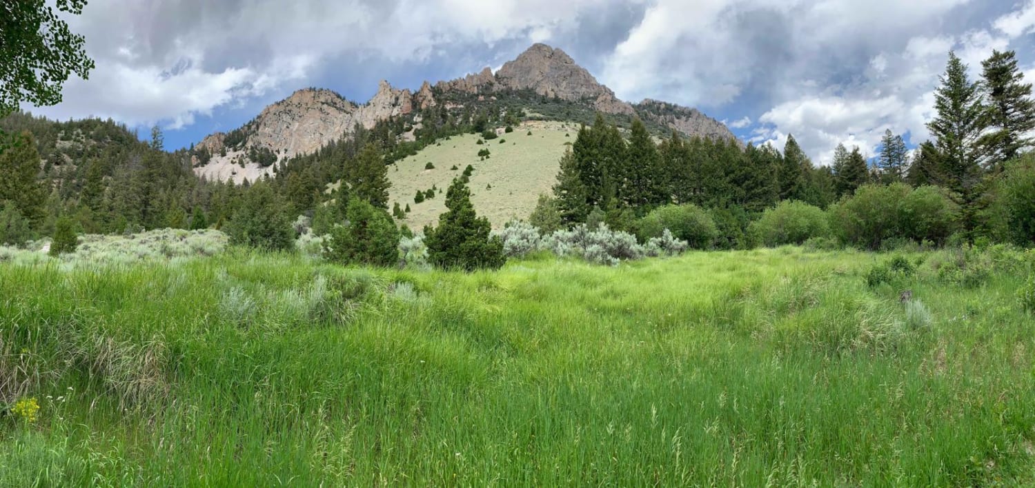
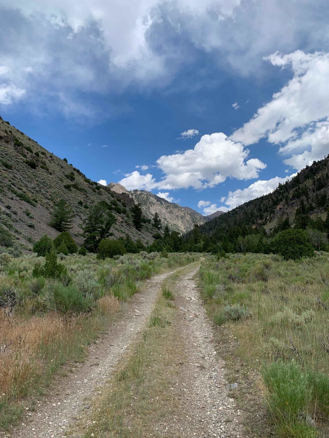
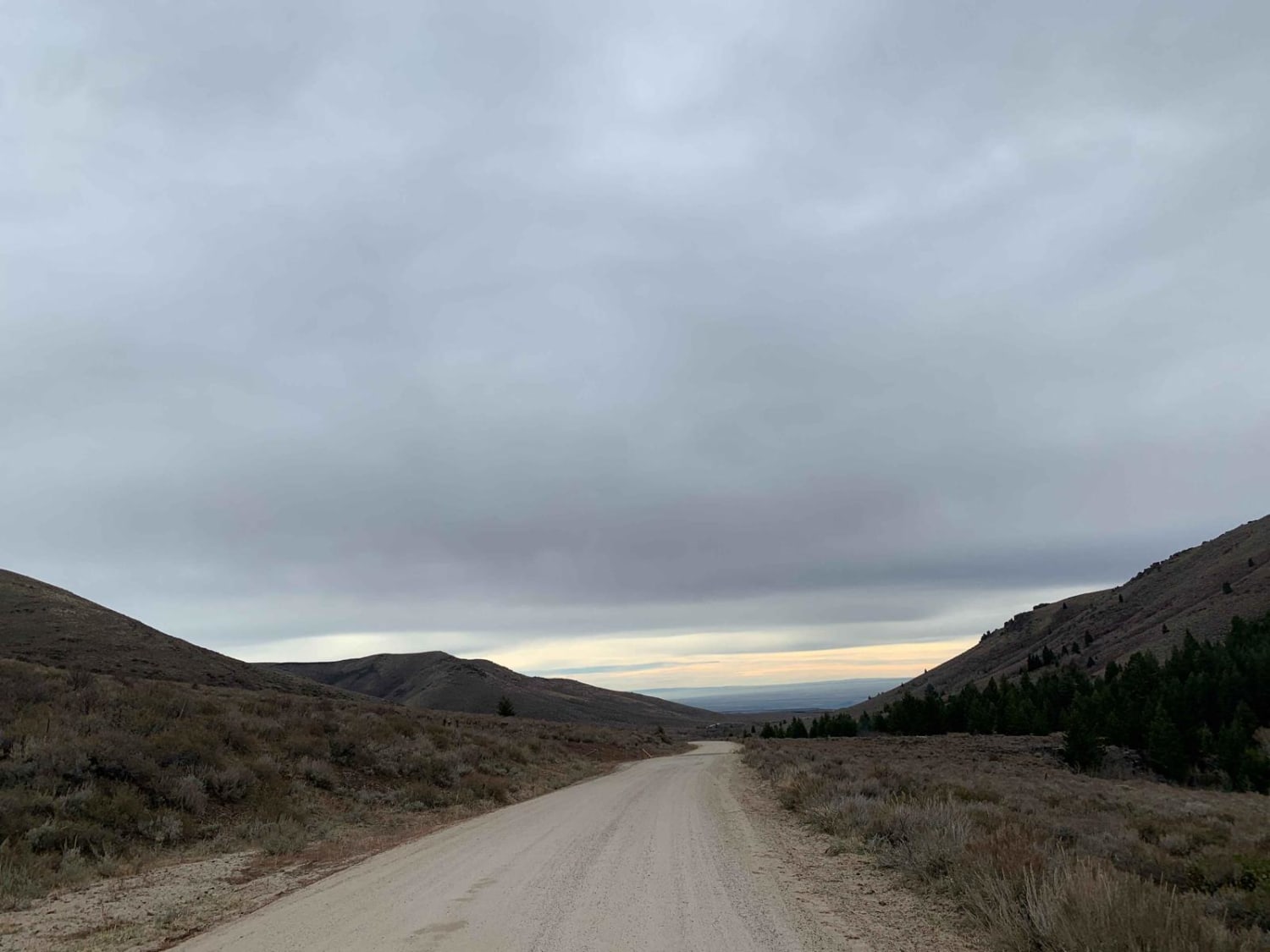
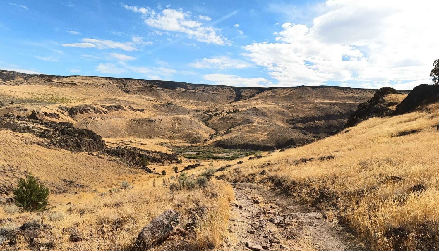
Trail Overview
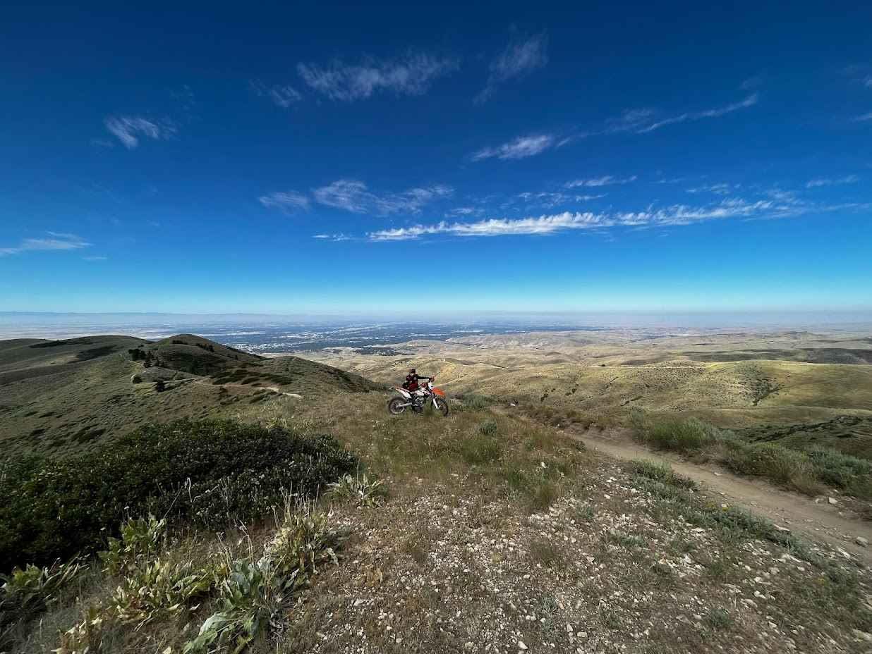
This route takes you from the bottom of the Lost River Valley up around an additional thousand feet to the base of Bell Mountain. The canyon could be named white rock canyon as the rock and shale which cover the trail have a white hue to them. The trail goes through a valley with Bell Mountain Creek running through it. Be sure to check out some of the abandoned cabins in the area right off the trail. There is also smaller dispersed tent camping sites along the way.
Photos of Basinger Canyon
Difficulty
There are some narrower portions of the trail with washes that could potentially have water in them depending on the time of year. Be aware that is you have a wider rig, there is a high potential for Rocky Mountain pin striping
Status Reports
Basinger Canyon can be accessed by the following ride types:
- High-Clearance 4x4
- SUV
- SxS (60")
- ATV (50")
- Dirt Bike
Basinger Canyon Map
Popular Trails

Middle Fork Pass Creek Trail
Bennett Mountain Byway
Crutchers Crossing North
8th Street Motorcycle Trail
The onX Offroad Difference
onX Offroad combines trail photos, descriptions, difficulty ratings, width restrictions, seasonality, and more in a user-friendly interface. Available on all devices, with offline access and full compatibility with CarPlay and Android Auto. Discover what you’re missing today!