Ball Creek
Total Miles
5.8
Technical Rating
Best Time
Summer
Trail Type
Full-Width Road
Accessible By
Trail Overview
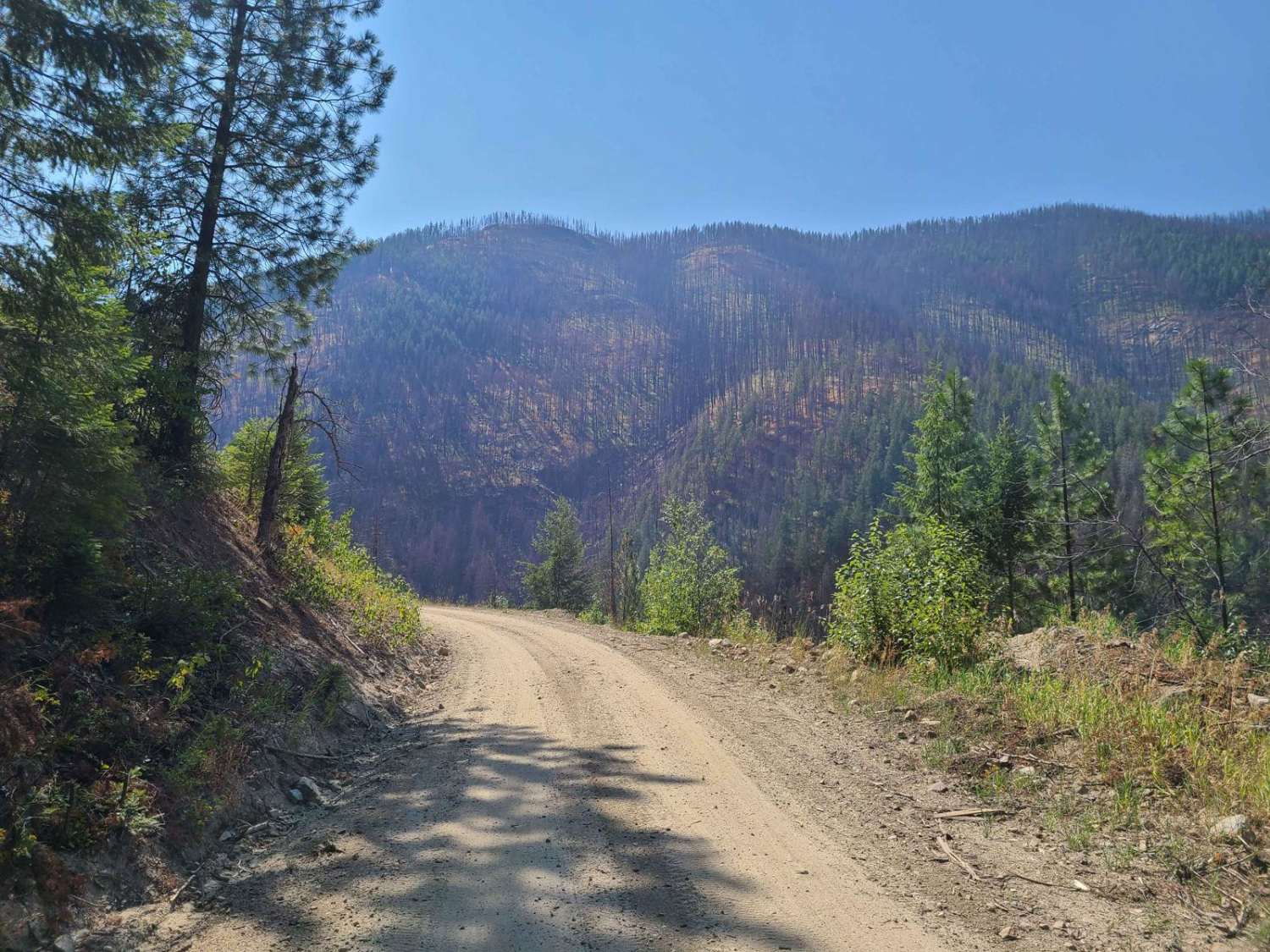
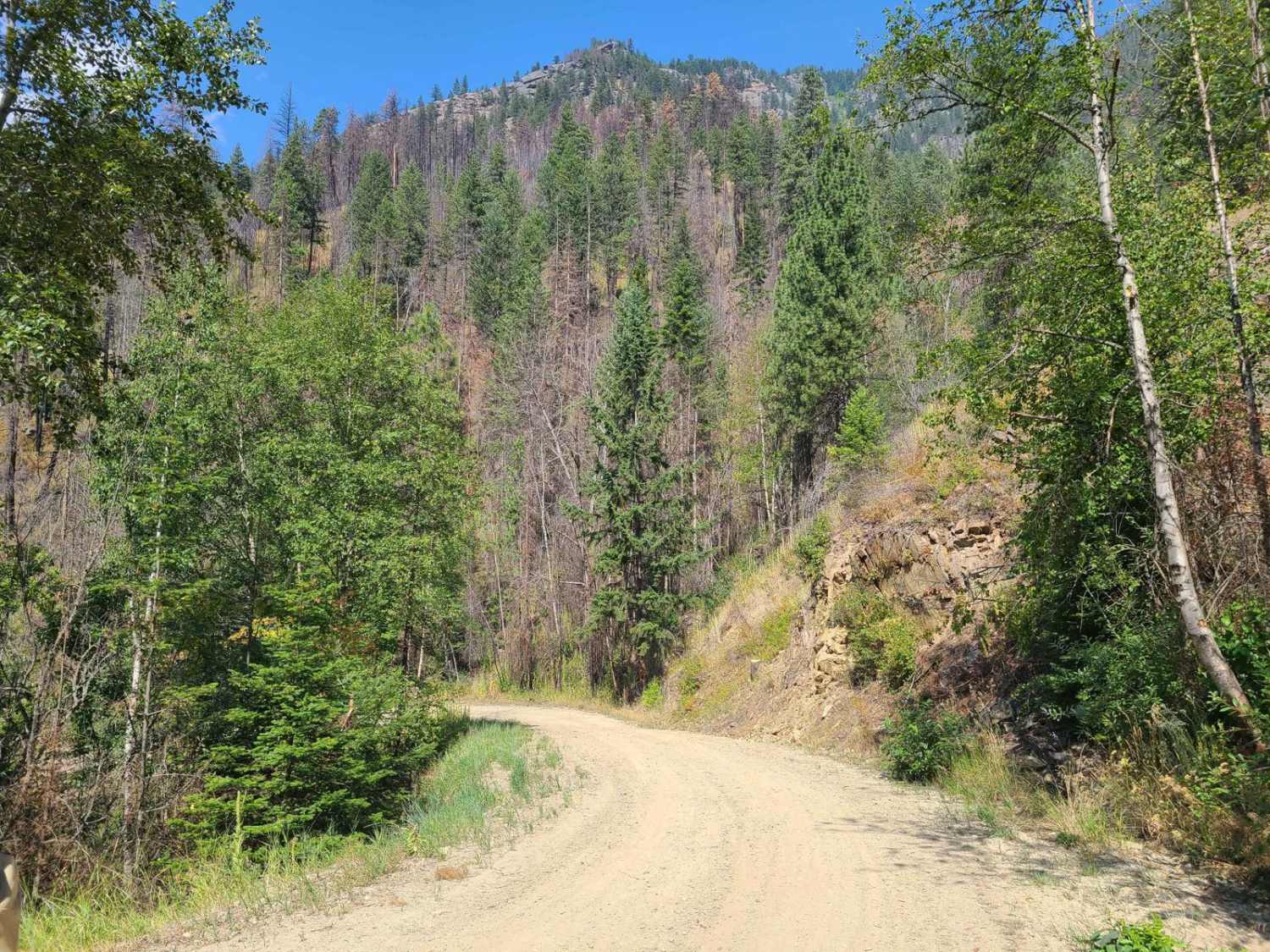
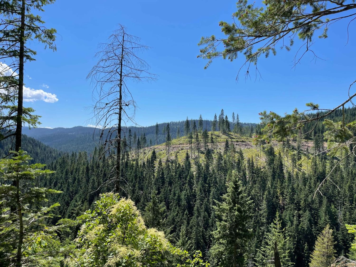
Ball Creek is USFS road #432 outside of Bonner's Ferry, Idaho. It climbs west into the Kaniksu National Forest from 1,816 feet to a purported 4,801 feet of elevation over 11.2 miles. The road has a moderate grade, but the road surface shows heavy equipment use which makes it rough in places. There is evidence of a significant burn from a large fire in September of 2022, and there are slash piles along the roadway. Mapping shows several spurs off the main road and several hiking trailheads with destinations such as Myrtle Lake past the termination of the roadway. In August of 2024, the route terminates at a creek washout with large boulders placed in the roadway at the 5.9-mile mark. The roadway ahead appears fine, and the blockage of the route is intentional. Please update the trail report to inform us when the route needs to be updated. There were no observed camping areas, outhouses, trail markings, or posted notices at the time this route was driven.
Photos of Ball Creek
Difficulty
Alteration to the rating may be necessary one the entire route is fully accessible.
Status Reports
Ball Creek can be accessed by the following ride types:
- High-Clearance 4x4
- SUV
- SxS (60")
- ATV (50")
- Dirt Bike
Ball Creek Map
Popular Trails

Road 374 - Northern Portion
Oregon/California Parting of the Ways
Chelsey Creek - FS 1960
Railroad Grade
The onX Offroad Difference
onX Offroad combines trail photos, descriptions, difficulty ratings, width restrictions, seasonality, and more in a user-friendly interface. Available on all devices, with offline access and full compatibility with CarPlay and Android Auto. Discover what you’re missing today!