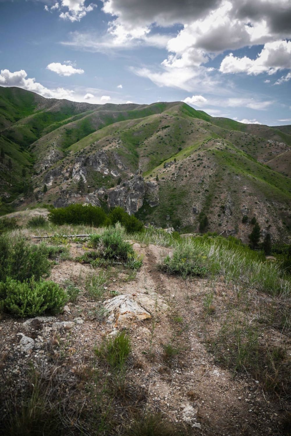
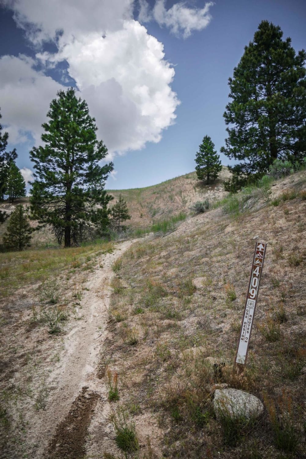
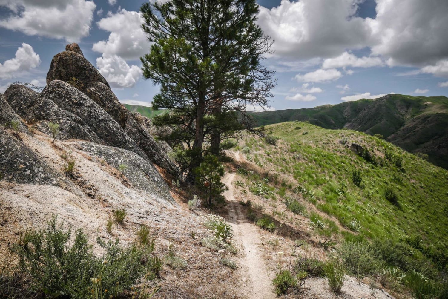
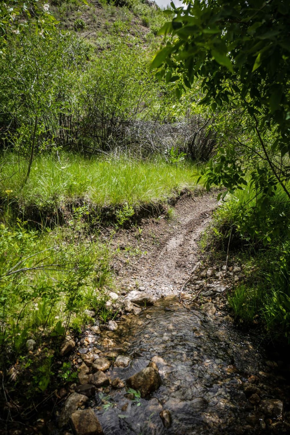
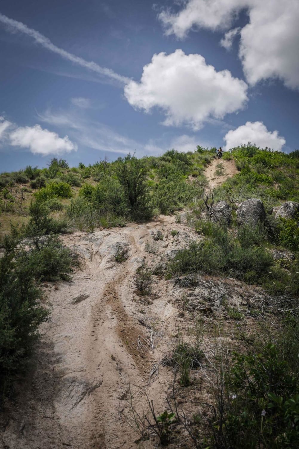
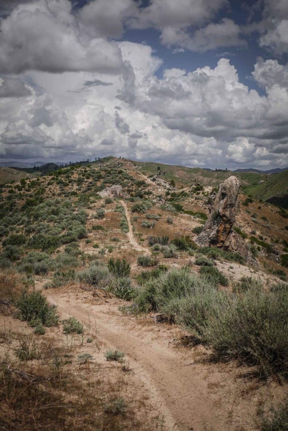
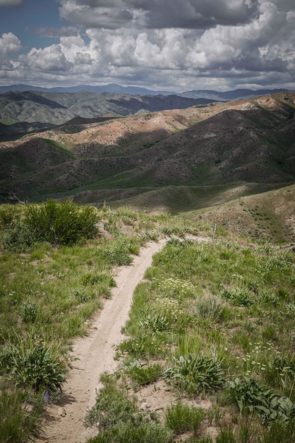
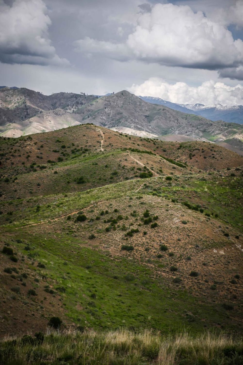
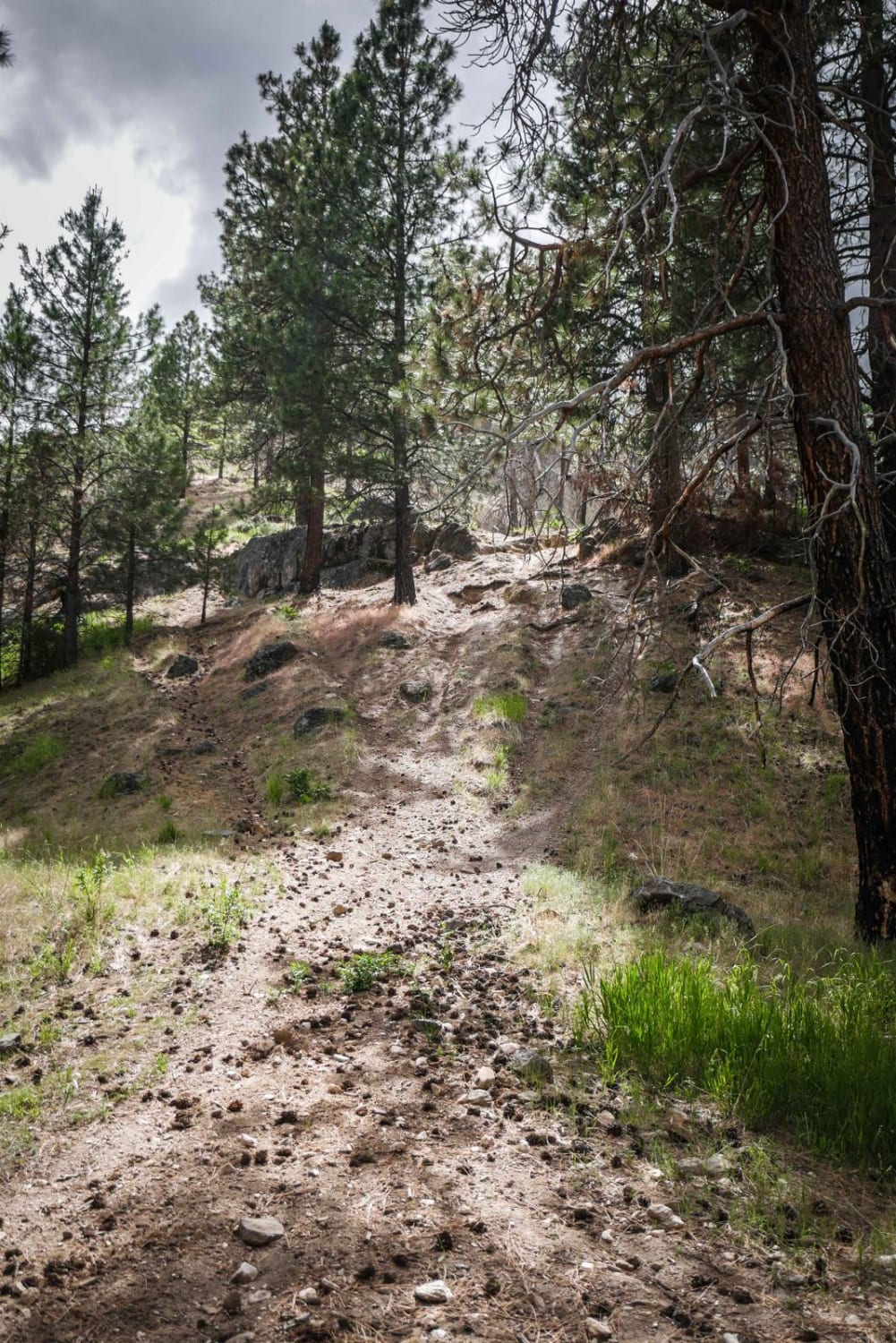
Off-Road Trails in Idaho
Discover off-road trails in Idaho
Learn more about 4th July - Copper Creek - 3097
4th July - Copper Creek - 3097
Total Miles
13.2
Tech Rating
Easy
Best Time
Fall, Summer
Learn more about 4th of July Trail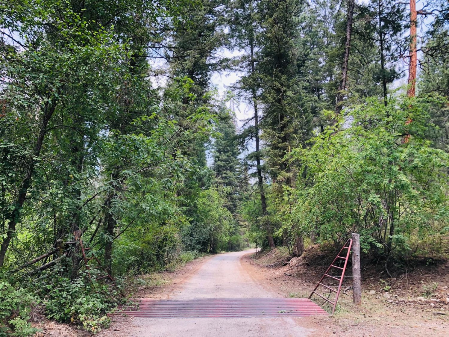
4th of July Trail
Total Miles
9.3
Tech Rating
Easy
Best Time
Spring, Summer, Fall

ATV trails in Idaho
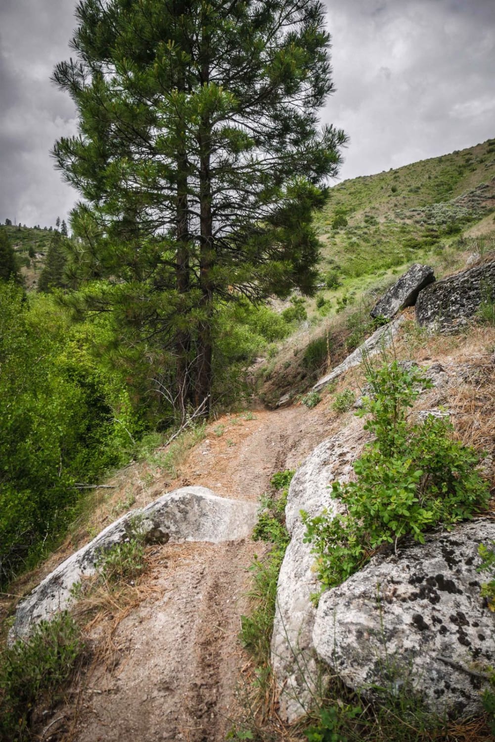
Learn more about Aspen Range - Middle Sulphur #5248 
Aspen Range - Middle Sulphur #5248
Total Miles
1.9
Tech Rating
Easy
Best Time
Summer, Fall
Learn more about Dry Fork - Meadow Springs #5226 
Dry Fork - Meadow Springs #5226
Total Miles
0.4
Tech Rating
Easy
Best Time
Summer, Fall
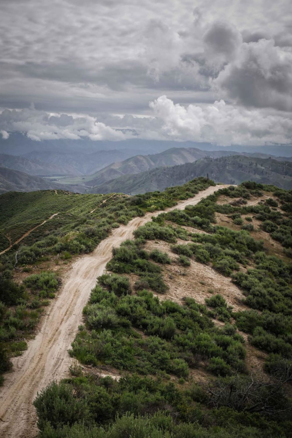
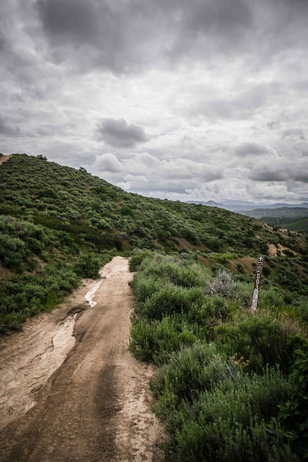
Learn more about South Foothill Road
South Foothill Road
Total Miles
8.2
Tech Rating
Moderate
Best Time
Summer, Fall

UTV/side-by-side trails in Idaho
Learn more about South Foothill Road
South Foothill Road
Total Miles
8.2
Tech Rating
Moderate
Best Time
Summer, Fall

Learn more about 21 To Nip & Tuck
21 To Nip & Tuck
Total Miles
1.4
Tech Rating
Easy
Best Time
Fall, Summer, Spring

The onX Offroad Difference
onX Offroad combines trail photos, descriptions, difficulty ratings, width restrictions, seasonality, and more in a user-friendly interface. Available on all devices, with offline access and full compatibility with CarPlay and Android Auto. Discover what you’re missing today!