Off-Road Trails in Idaho
Discover off-road trails in Idaho
Learn more about Appendicitis Hill Spur 2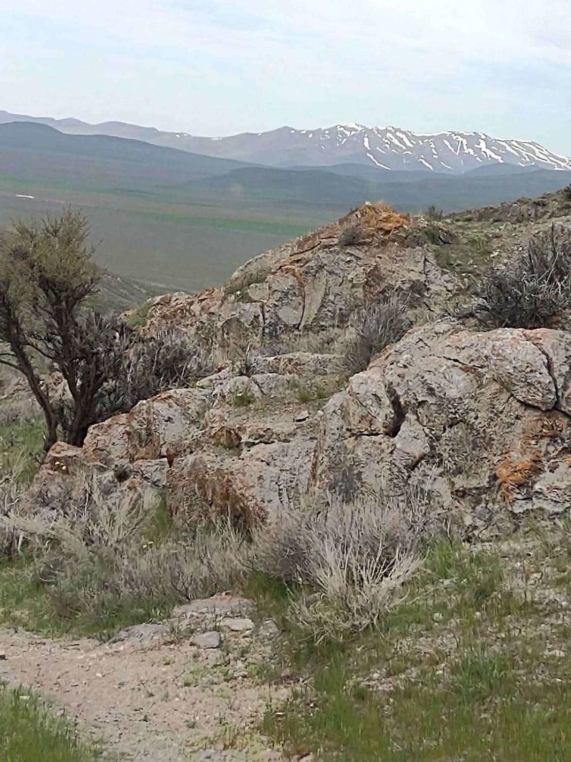
Appendicitis Hill Spur 2
Total Miles
0.6
Tech Rating
Easy
Best Time
Spring, Summer, Fall
Learn more about Appendicitis Hill WSA Loop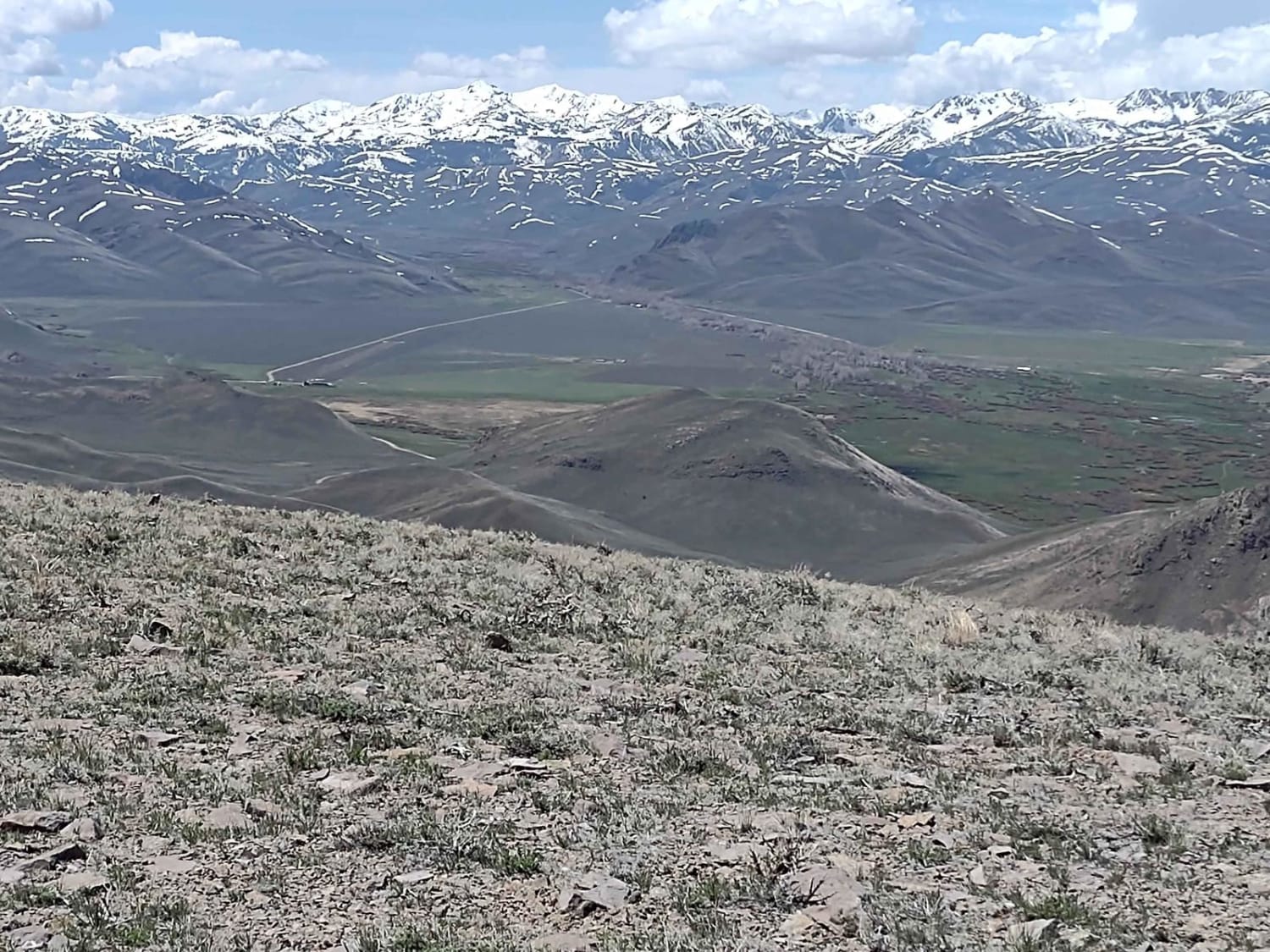
Appendicitis Hill WSA Loop
Total Miles
8.9
Tech Rating
Easy
Best Time
Spring, Summer, Fall
Learn more about Appendicitis Hill WSA Spur #7
Appendicitis Hill WSA Spur #7
Total Miles
0.7
Tech Rating
Easy
Best Time
Spring, Summer, Fall
Learn more about Arco Pass Road to Wood Canyon
Arco Pass Road to Wood Canyon
Total Miles
9.7
Tech Rating
Easy
Best Time
Spring, Summer, Fall
Learn more about Arco Pass to Horsethief Canyon
Arco Pass to Horsethief Canyon
Total Miles
1.5
Tech Rating
Easy
Best Time
Spring, Summer, Fall
Learn more about Arco Pass to Horsethief Spur #3
Arco Pass to Horsethief Spur #3
Total Miles
2.9
Tech Rating
Easy
Best Time
Spring, Summer, Fall
Learn more about Arco Pass to Horsethief Spur #5
Arco Pass to Horsethief Spur #5
Total Miles
2.1
Tech Rating
Easy
Best Time
Spring, Summer, Fall
Learn more about Arco Pass to Horsethief Spur #6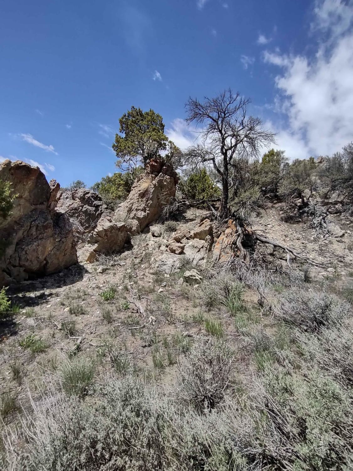
Arco Pass to Horsethief Spur #6
Total Miles
1.6
Tech Rating
Easy
Best Time
Spring, Summer, Fall
Learn more about Arco Pass to Hurst Canyon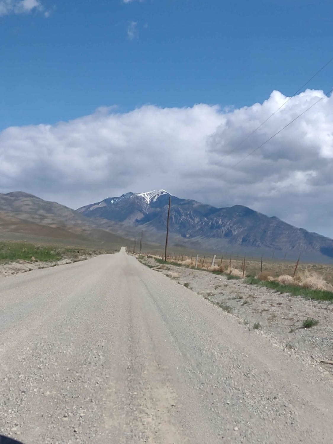
Arco Pass to Hurst Canyon
Total Miles
15.2
Tech Rating
Easy
Best Time
Spring, Summer, Fall
Learn more about Arco Pass to Iron Creek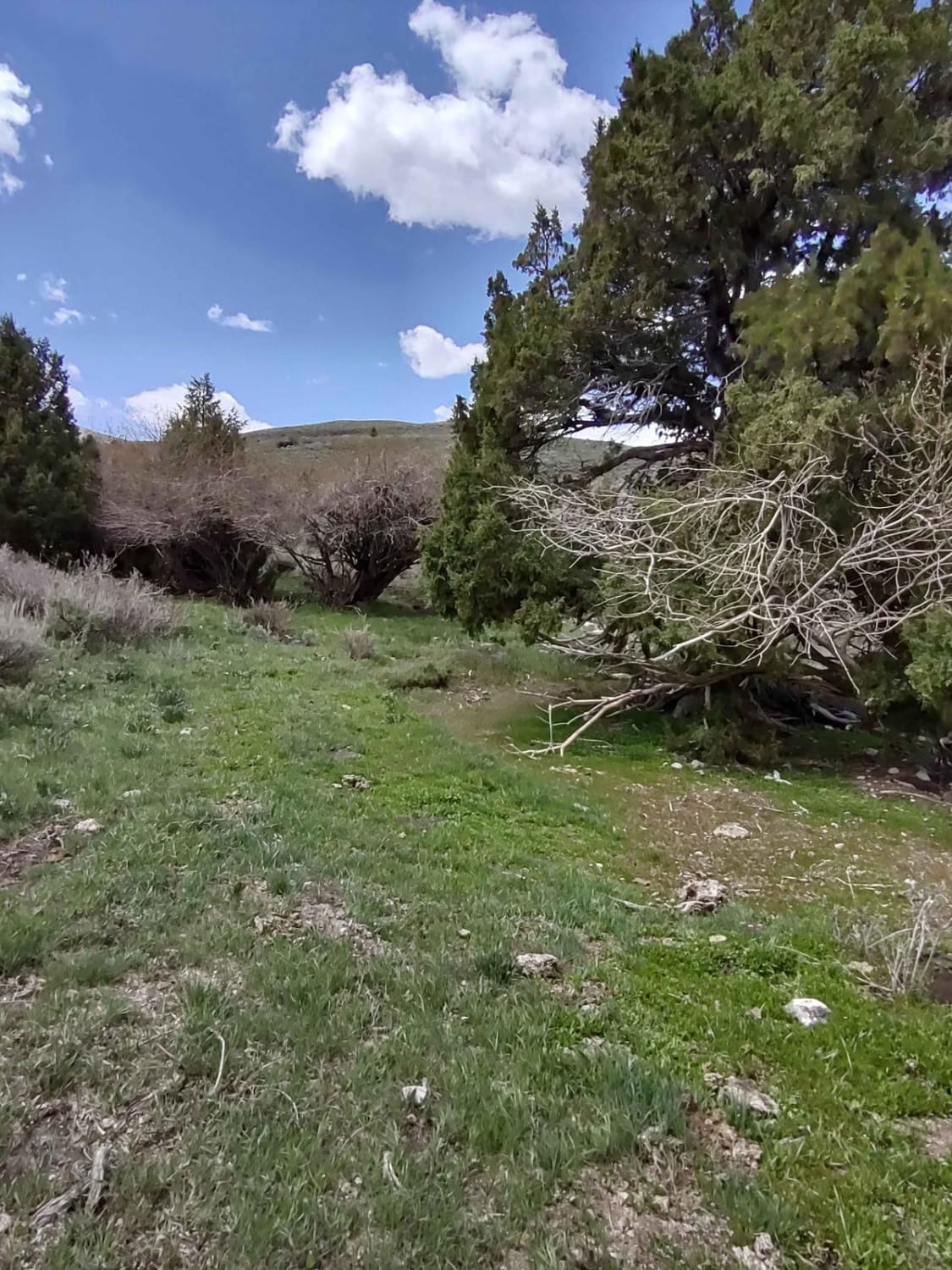
Arco Pass to Iron Creek
Total Miles
1.9
Tech Rating
Easy
Best Time
Spring, Summer, Fall
Learn more about Atomic City to Frenchman's Cabin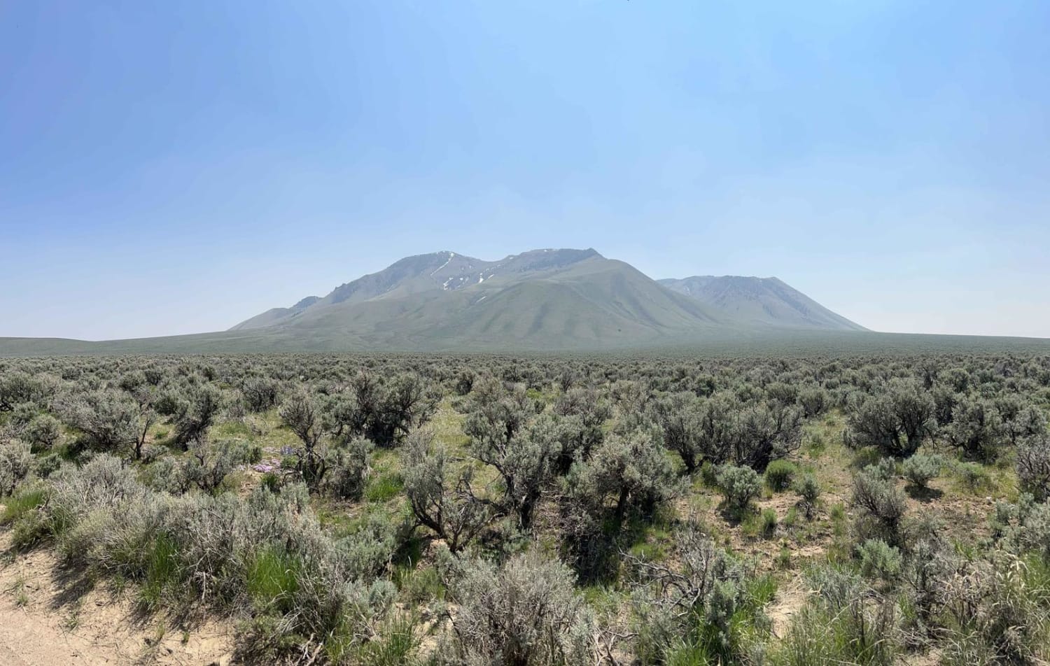
Atomic City to Frenchman's Cabin
Total Miles
14.9
Tech Rating
Easy
Best Time
Spring, Fall
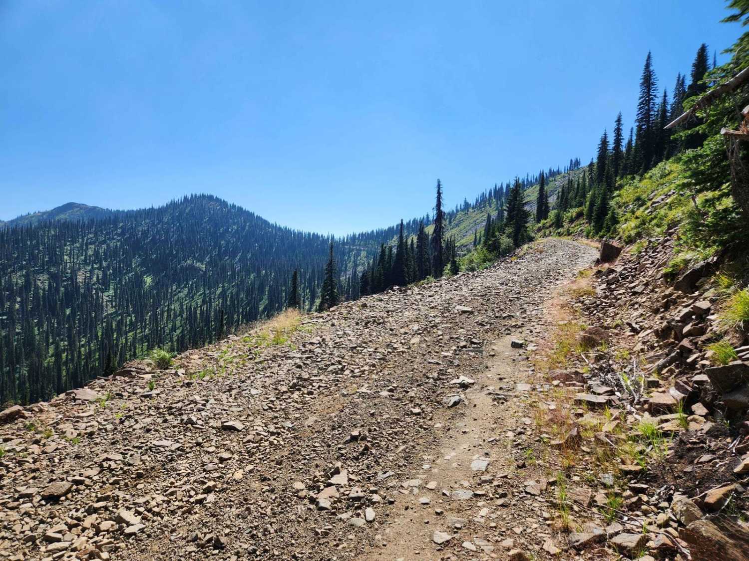
Learn more about Baby Grand Ridge - FS 1433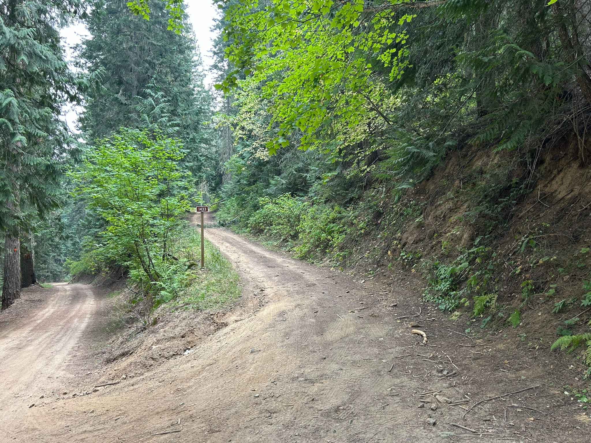
Baby Grand Ridge - FS 1433
Total Miles
7.0
Tech Rating
Easy
Best Time
Spring, Summer, Fall, Winter
Learn more about Backdoor
Backdoor
Total Miles
1.9
Tech Rating
Moderate
Best Time
Fall, Summer, Spring, Winter
Learn more about Badger Mountain
Badger Mountain
Total Miles
2.0
Tech Rating
Easy
Best Time
Fall, Summer, Spring

ATV trails in Idaho
Learn more about Aspen Range - Middle Sulphur #5248 
Aspen Range - Middle Sulphur #5248
Total Miles
1.9
Tech Rating
Easy
Best Time
Summer, Fall
Learn more about Dry Fork - Meadow Springs #5226 
Dry Fork - Meadow Springs #5226
Total Miles
0.4
Tech Rating
Easy
Best Time
Summer, Fall
Learn more about South Foothill Road
South Foothill Road
Total Miles
8.2
Tech Rating
Moderate
Best Time
Summer, Fall

UTV/side-by-side trails in Idaho
Learn more about South Foothill Road
South Foothill Road
Total Miles
8.2
Tech Rating
Moderate
Best Time
Summer, Fall

Learn more about 21 To Nip & Tuck
21 To Nip & Tuck
Total Miles
1.4
Tech Rating
Easy
Best Time
Fall, Summer, Spring

The onX Offroad Difference
onX Offroad combines trail photos, descriptions, difficulty ratings, width restrictions, seasonality, and more in a user-friendly interface. Available on all devices, with offline access and full compatibility with CarPlay and Android Auto. Discover what you’re missing today!