Bad Tom
Total Miles
3.2
Technical Rating
Best Time
Fall, Summer, Spring
Trail Type
Single Track
Accessible By
Trail Overview
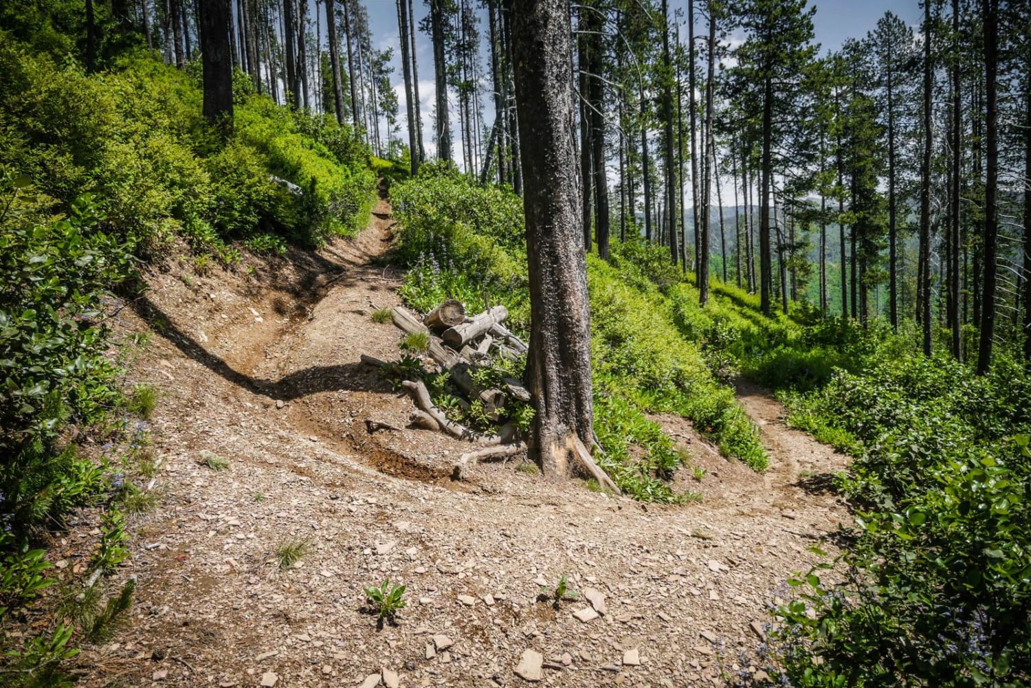
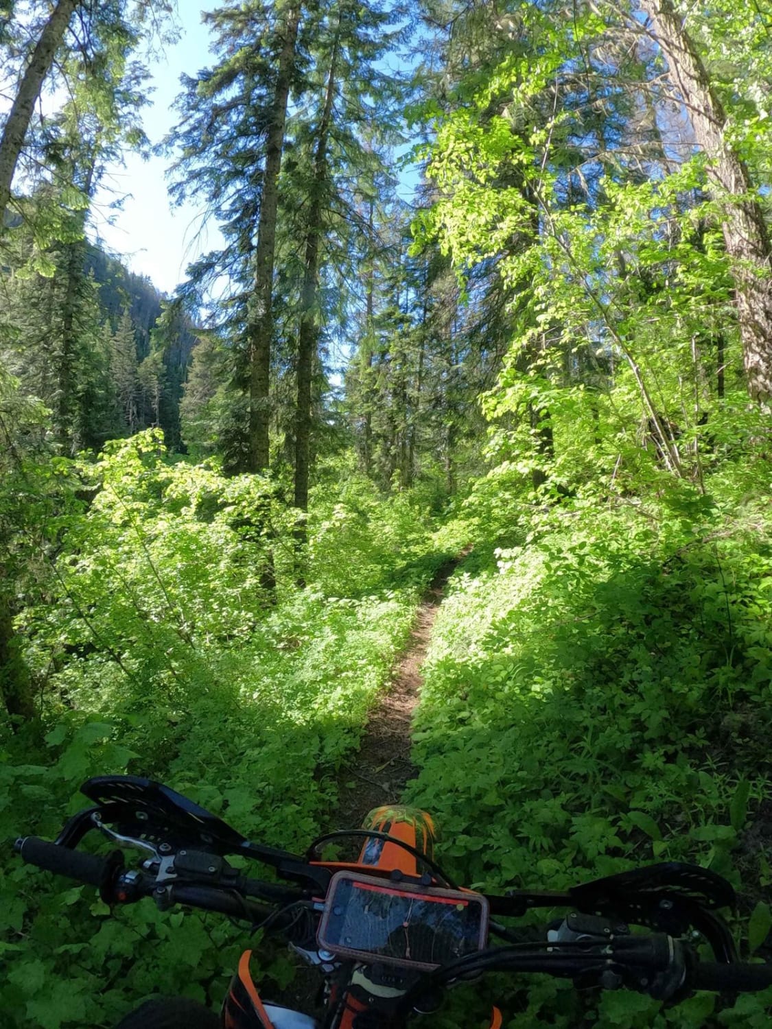
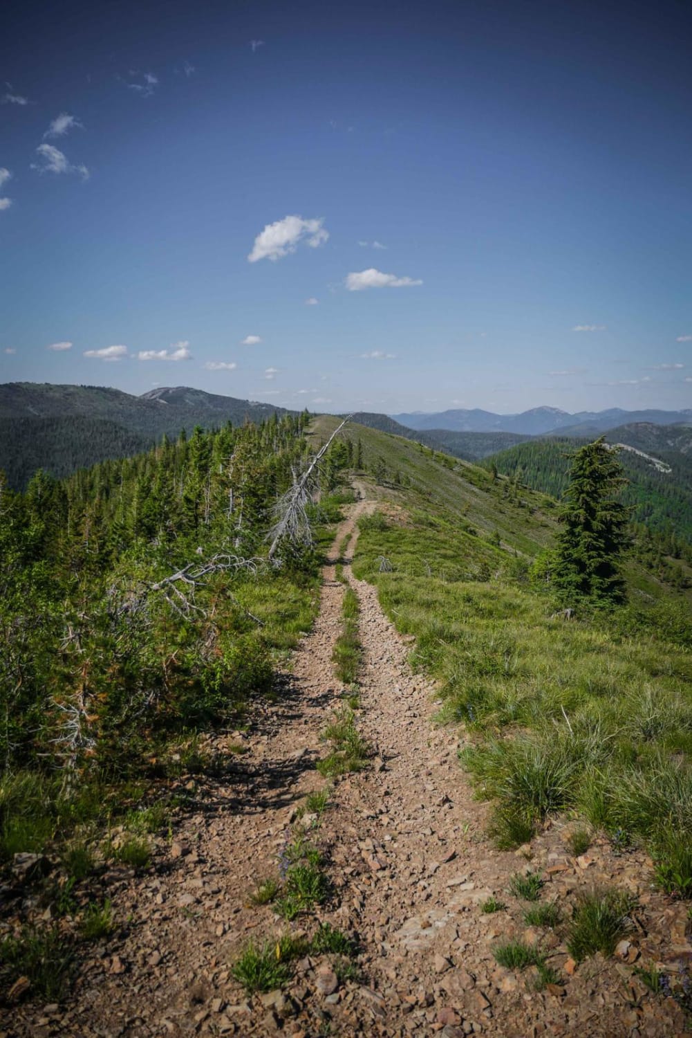
Bad Tom is a short intermediate single track in the St. Joe National Forest south of Wallace, Idaho. It goes downhill from the St. Joe Divide North ATV trail, dropping 2,200 feet to the intersection with Slate Creek singletrack. It starts from the ATV trail on a wide path but narrows up right away on a side hill. The downhill has lots of little stair steps created from small roots going across the trail, creating little 1 foot ledges. It also has drop-offs and ledges created from the water bars that go across the trail to prevent erosion. The trail is rutted from higher use and is like a trough in sections. It has several switchbacks all the way down to the bottom of the trail. The switchbacks at the top of the trail are more mellow and sweeping, and not as steep. Then it starts going down a steep troughed section that is more of a straight shot, with loose rocks and ruts and roots, which is more difficult. The switchbacks get tighter and steeper near the bottom of the trail. Only one of the switchbacks has a rock obstacle on the inside of the turn, which makes it more difficult, but most of the switchbacks are smooth dirt or just a little rocky. This trail would definitely be harder going uphill with all the root ledges and that section of loose rock.
Photos of Bad Tom

Difficulty
This is an intermediate single track trail with small ledges, loose rock, troughs, and switchbacks. This trail is a 6 going up (south to north), and a 5 going down (north to south).
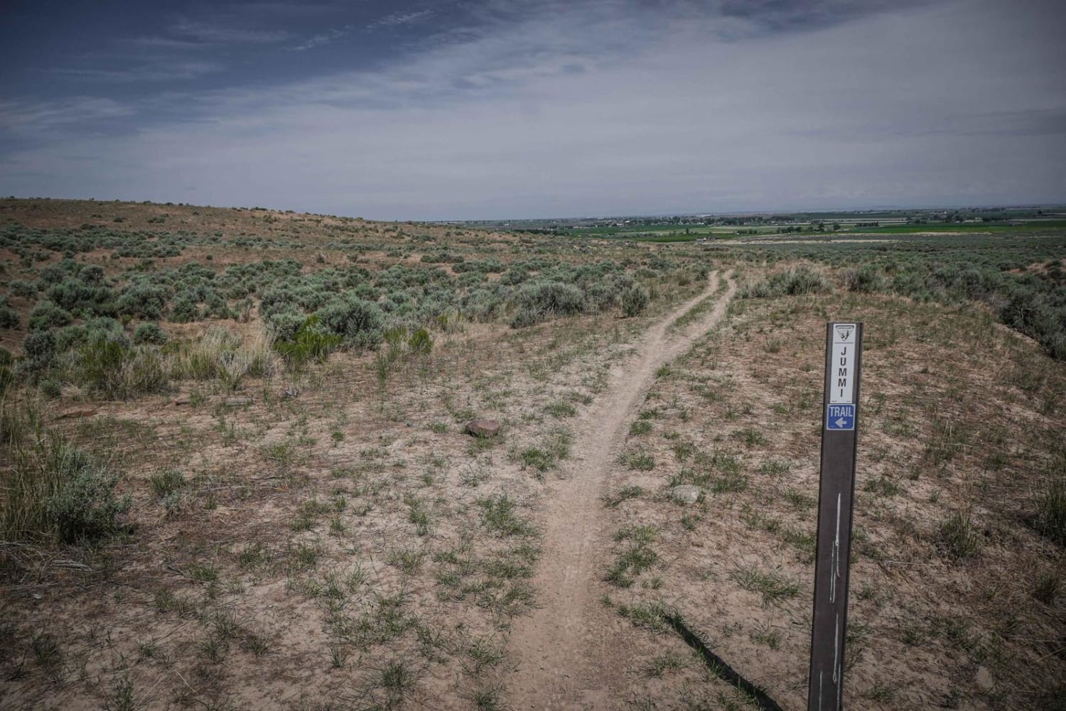
Bad Tom can be accessed by the following ride types:
- Dirt Bike
Bad Tom Map
Popular Trails
Dam Ridge ATV

St Joe Divide NRT ATV (Kellogg Saddle to Dam Creek)
The onX Offroad Difference
onX Offroad combines trail photos, descriptions, difficulty ratings, width restrictions, seasonality, and more in a user-friendly interface. Available on all devices, with offline access and full compatibility with CarPlay and Android Auto. Discover what you’re missing today!