521
Total Miles
2.1
Technical Rating
Best Time
Fall, Summer, Spring
Trail Type
50" Trail
Accessible By
Trail Overview
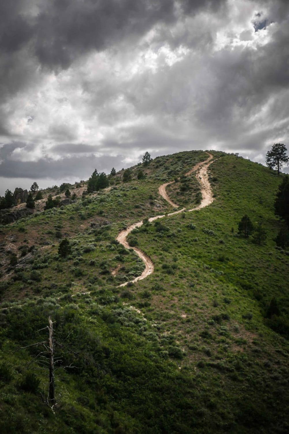
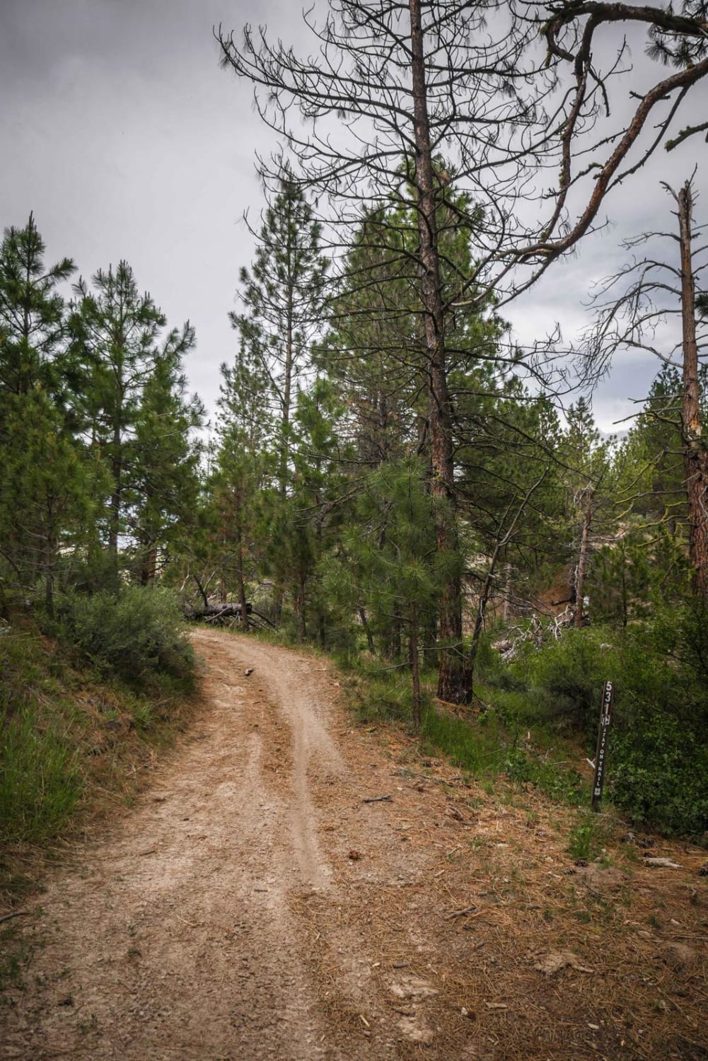
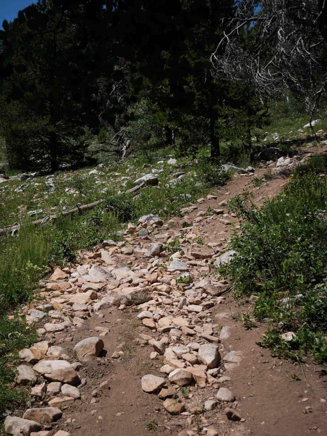
ATV #521 is a wide ridge line two-track with wide open views of the surrounding Danskin Mountains. It starts at a 5 way intersection with trails #531, #530, and #532 at the bottom of a valley under some pine trees, and climbs up about 900 feet over 2 miles up to ATV #520. It has several steep hill climb sections that are a bit rocky and loose with ruts, which adds a challenge for ATVers. This trail would be pretty easy for a dirt biker. Sometimes the ruts are on one side of the trail, so you have to pick the high points of the trail. Taking this trail is a fun way for an ATVer to connect to several other ATV trails in this trail system for a fun day ride.
Photos of 521
Difficulty
This is an easy ridge line ATV trail with steep hill climbs.
521 can be accessed by the following ride types:
- ATV (50")
- Dirt Bike
521 Map
Popular Trails
Sturgill Peak - Fire Lookout Tower
Birch Creek Free Area

Frying Pan Road
Lone Pine #3343
The onX Offroad Difference
onX Offroad combines trail photos, descriptions, difficulty ratings, width restrictions, seasonality, and more in a user-friendly interface. Available on all devices, with offline access and full compatibility with CarPlay and Android Auto. Discover what you’re missing today!