561
Total Miles
1.1
Technical Rating
Best Time
Fall, Summer, Spring
Trail Type
Single Track
Accessible By
Trail Overview
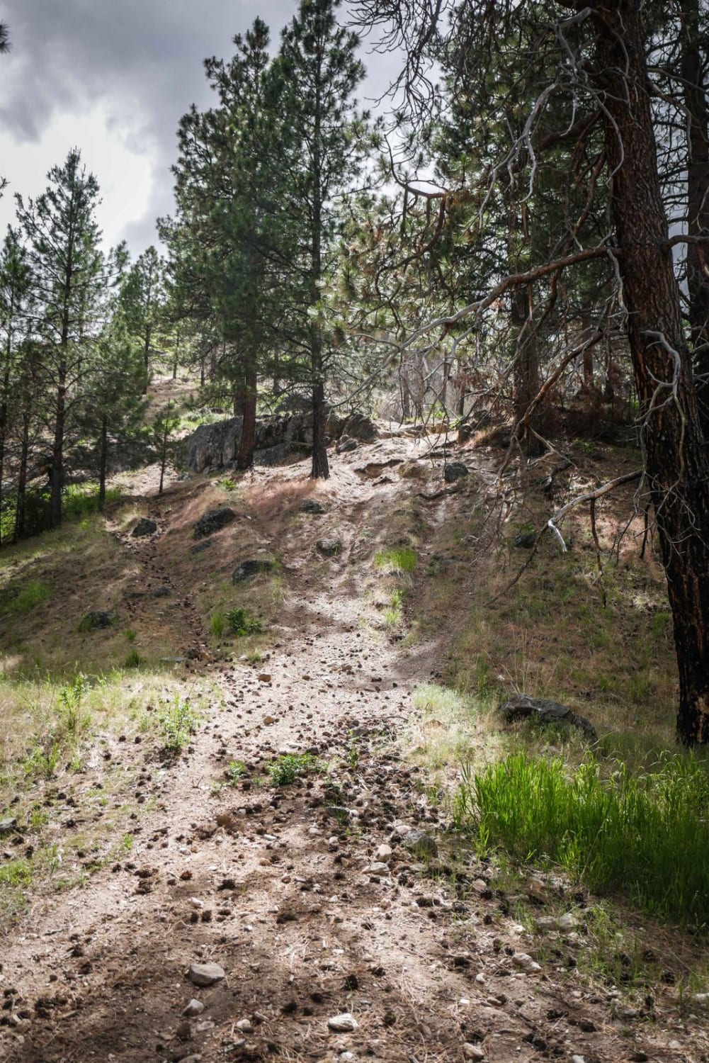
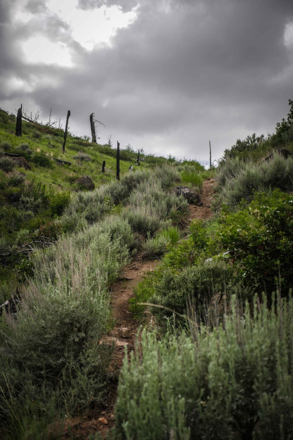
#561 in the Danskin Trail System is mostly an easy ridge line trail, but it starts with a more challenging steep and rocky climb with roots and boulders, thus making it a more challenging trail. From the intersection with #400, it starts with this difficult climb with very loose dirt. There are multiple lines to choose from, but all lines are loose and steep. Getting up this climb could require some advanced maneuvers and skill, but going down it would be a bit easier. From here the rest of the trail is an easy ridge line trail similar to the rest of the trails in the area, of a 3 difficulty. It crosses an intersection with #560, but this intersection is easy to miss since there is no trail sign. Use this trail as a way to bail out from the creek trail back to the ridge lines.
Photos of 561
Difficulty
This is an intermediate trail due to one challenging obstacle at the south end of the trail that is full of rocks, ruts, and roots. The rest of the trail is an easy ridge line trail.
Status Reports
561 can be accessed by the following ride types:
- Dirt Bike
561 Map
Popular Trails

Bailey Creek #3331

Grass Mountain ATV

Inman Canyon-Big Springs
The onX Offroad Difference
onX Offroad combines trail photos, descriptions, difficulty ratings, width restrictions, seasonality, and more in a user-friendly interface. Available on all devices, with offline access and full compatibility with CarPlay and Android Auto. Discover what you’re missing today!


