400
Total Miles
2.9
Technical Rating
Best Time
Fall, Summer, Spring
Trail Type
Single Track
Accessible By
Trail Overview
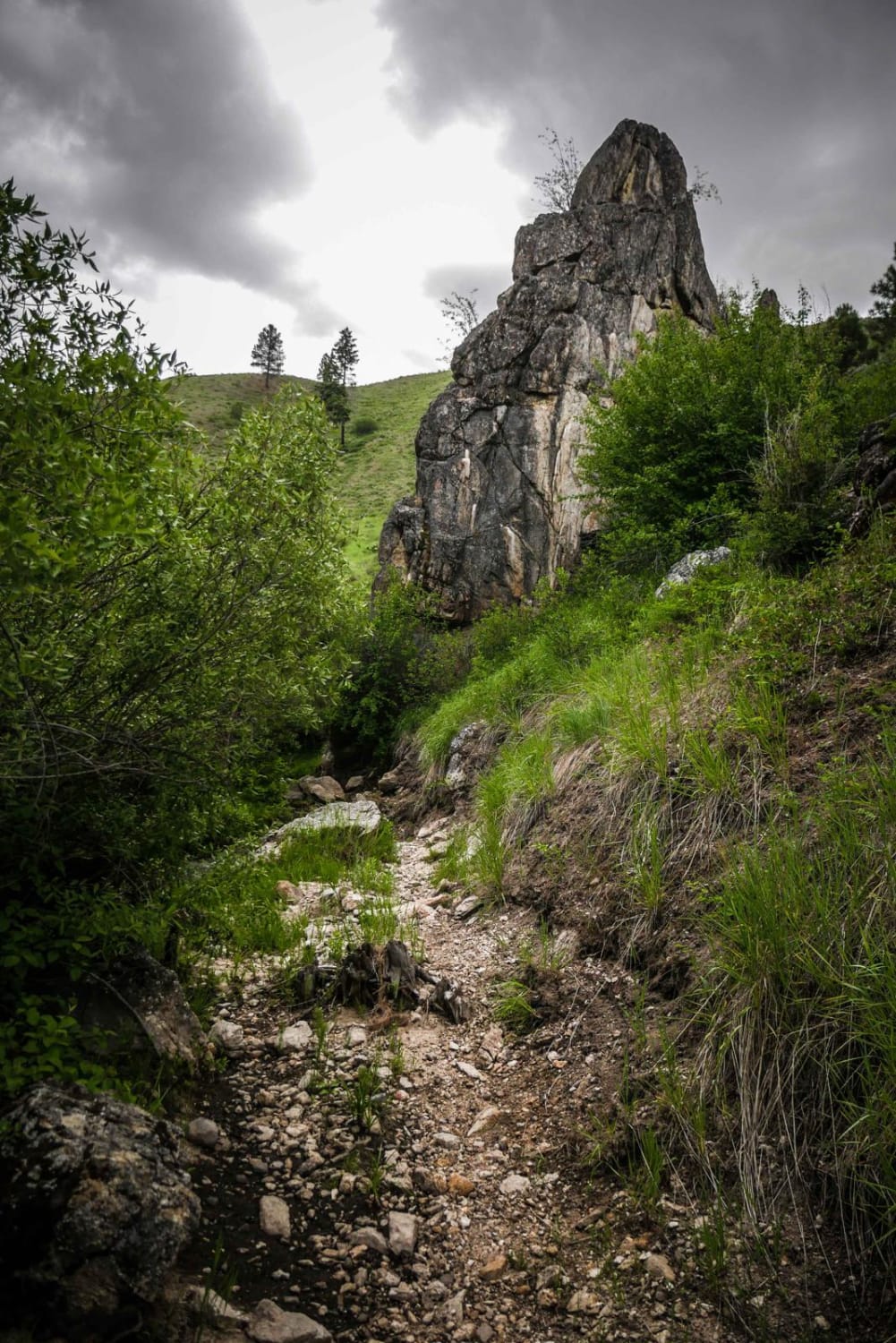
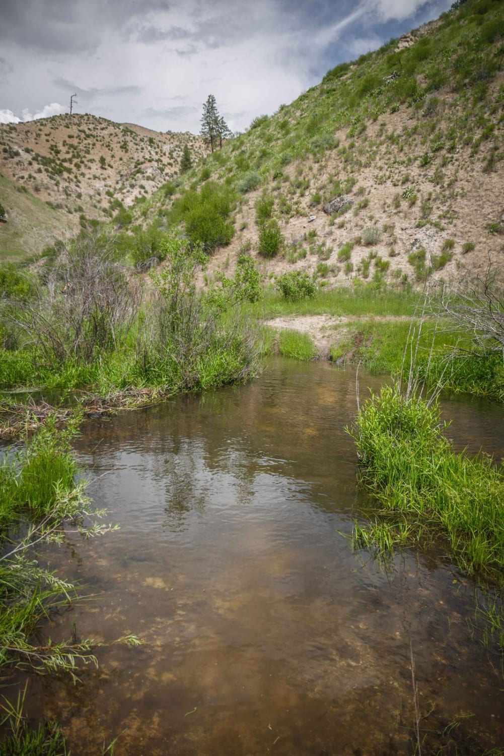
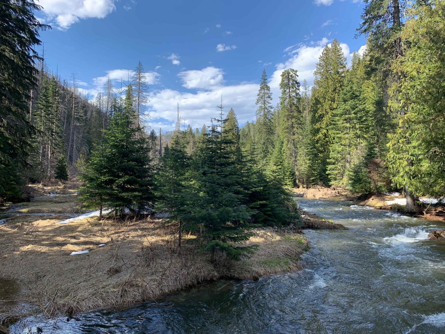
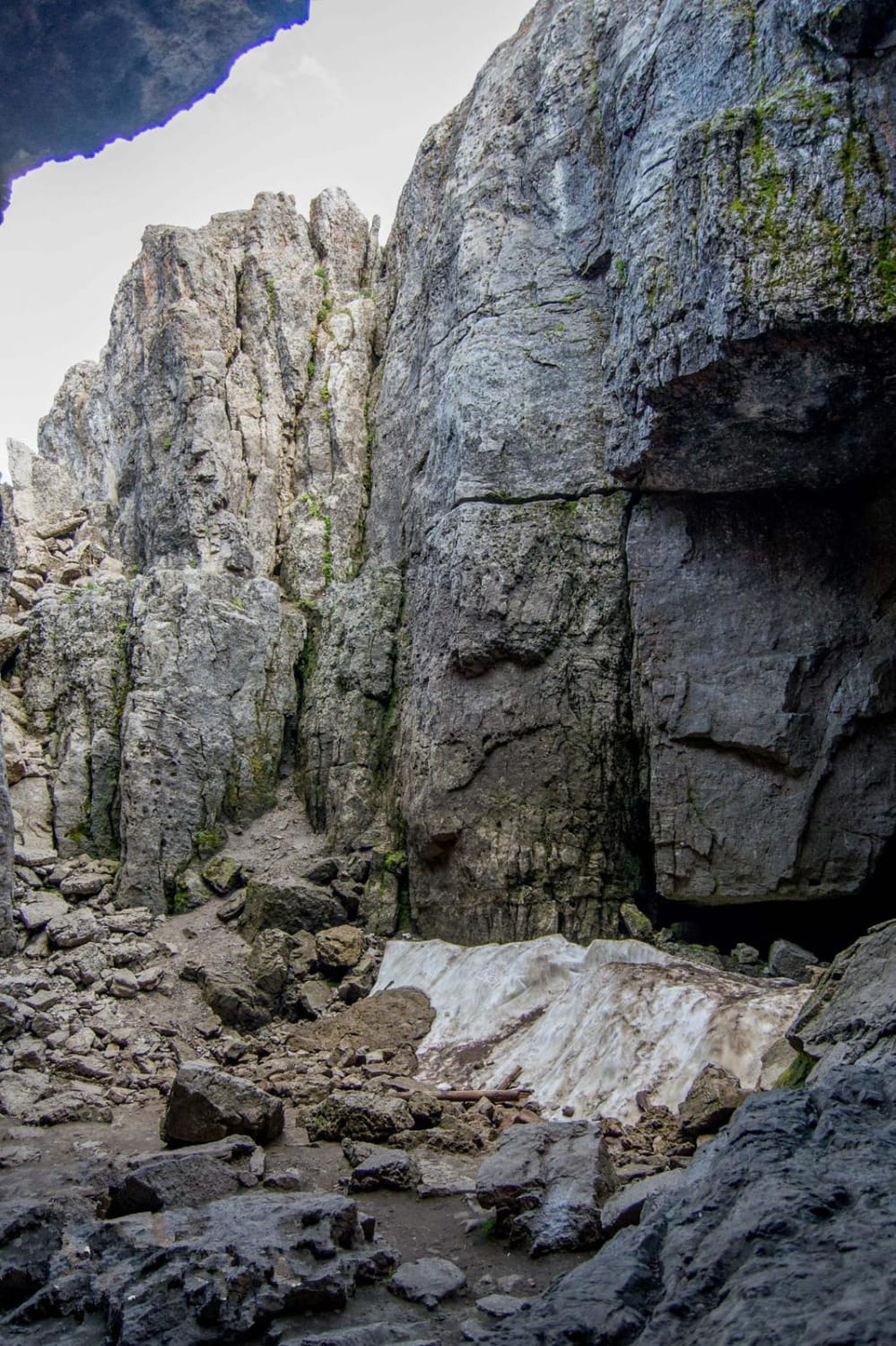
Trail #400 is one of the most unique dirt bike trails in the Danskin Trail System in the Boise National Forest, as it parallels a creek with 20+ river crossings, riding through wild wooded terrain. From the north end, it starts at the intersection with #421 on a shelfy side hill under some pine trees. It side-hills through some rockier sections under some pine trees and with some tighter curves around the hills. Before the intersection with #319, it has two wide and long creek crossings through a marshy grassy meadow where the bottom of the creek is soft silt and can get pretty deep. The rest of the trail rides through the bottom of a valley through some overgrown wooded sections, making for a totally different ride than many of the ridge line trails in this trail system. It continues south on a fun narrow track through grassy meadows next to the creek, which can be overflowing in springtime. It has a couple narrow spots with more boulders, and sections with overgrown branches hanging low over the trail making it like a tunnel you have to go through. The intersection with #403 is in a really cool valley full of granite rock pinnacles. The hillsides have expansive views because there aren't many trees in this forest. There are probably 20-30 river crossings throughout this trail as you continue south and they are all in very overgrown shrubs where less visibility makes it more challenging. One of the crossings goes straight up a tiny waterfall in the creek. You'll want to ride this one at the end of the day in case you dunk a boot in the water! The last segment of the trail after the intersection with 561 has a couple of rock pinches and a downed log that catches your pegs when you go over it.
Photos of 400
Difficulty
This is an intermediate trail due to having to navigate the water crossings which can be deep, rock sections and narrow shelfy trail.
Status Reports
400 can be accessed by the following ride types:
- Dirt Bike
400 Map
Popular Trails
West Fork Eagle Creek (805)

Coon Creek Trail (FDR 3300)
Paris Ice Cave

The onX Offroad Difference
onX Offroad combines trail photos, descriptions, difficulty ratings, width restrictions, seasonality, and more in a user-friendly interface. Available on all devices, with offline access and full compatibility with CarPlay and Android Auto. Discover what you’re missing today!