Horse Haven Airfield
Total Miles
4.8
Technical Rating
Best Time
Spring, Summer, Fall, Winter
Trail Type
Full-Width Road
Accessible By
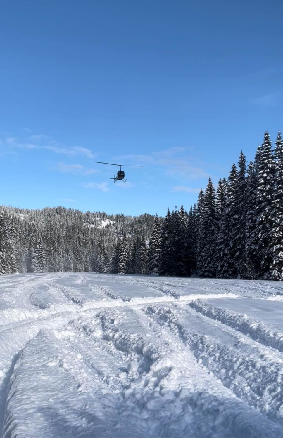
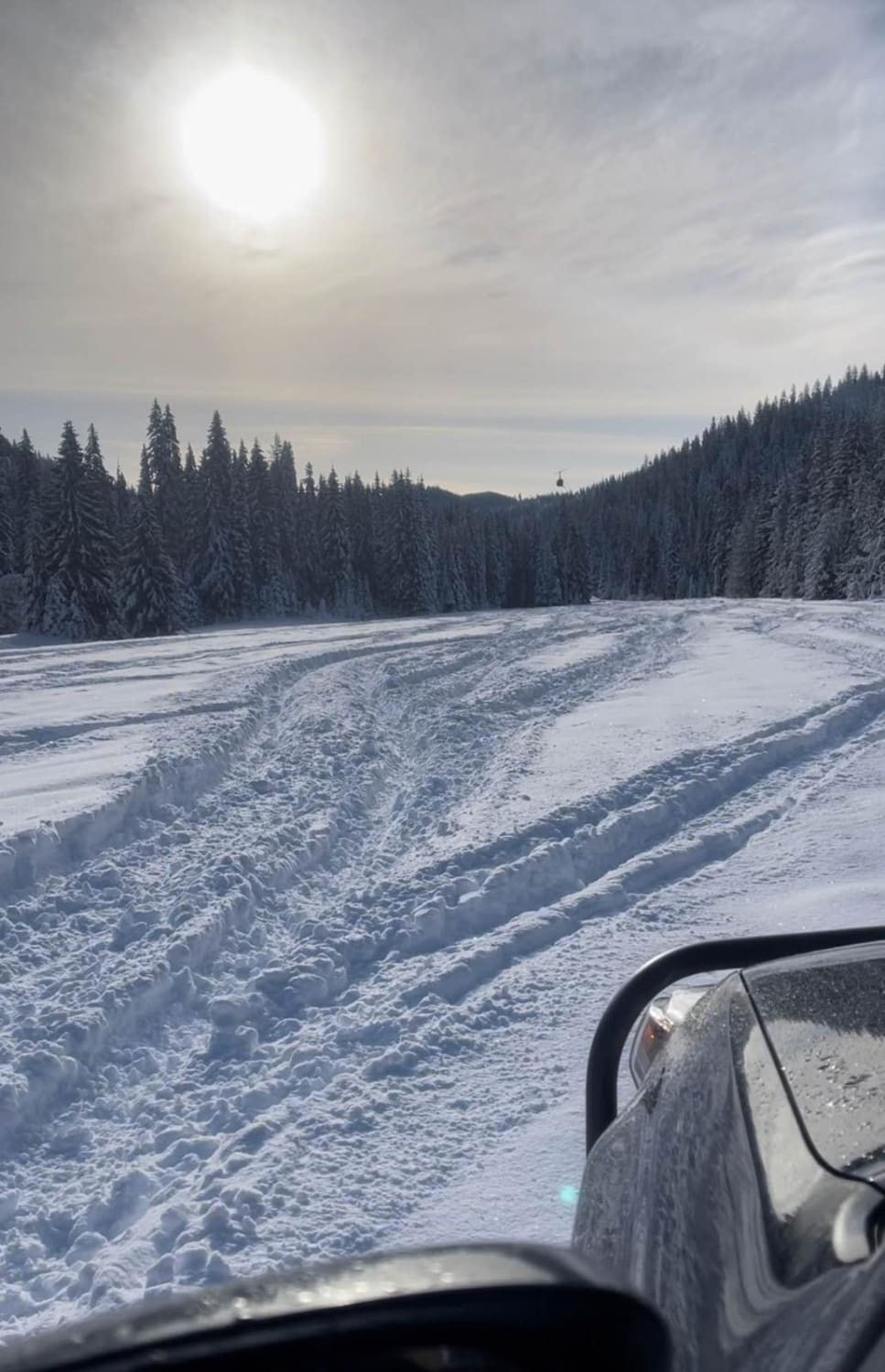
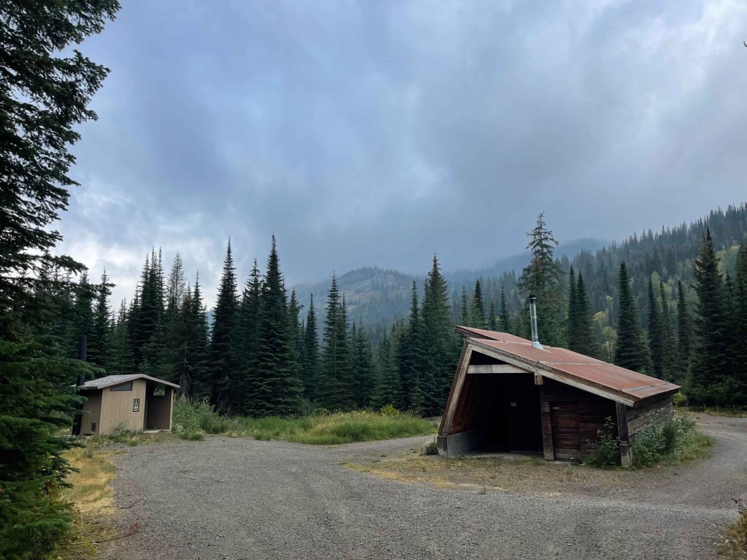
Trail Overview
This trail is a dirt Forest Service road that is a narrow trail going along a creek and big pine trees. You may have issues passing another vehicle. The trail ends at a World War II airfield training site. You will find free camping in this area. It is a great place to go snowwheeling as there is a large open space.
Photos of Horse Haven Airfield
Difficulty
This is an easy, narrow dirt road unless there's rain or snow.
Status Reports
Horse Haven Airfield can be accessed by the following ride types:
- High-Clearance 4x4
- SUV
- SxS (60")
- ATV (50")
- Dirt Bike
Horse Haven Airfield Map
Popular Trails
Moose Creek Trailhead

Trapper Creek - FS533

The onX Offroad Difference
onX Offroad combines trail photos, descriptions, difficulty ratings, width restrictions, seasonality, and more in a user-friendly interface. Available on all devices, with offline access and full compatibility with CarPlay and Android Auto. Discover what you’re missing today!