Sheep Canyon 2
Total Miles
4.0
Technical Rating
Best Time
Fall, Summer
Trail Type
60" Trail
Accessible By
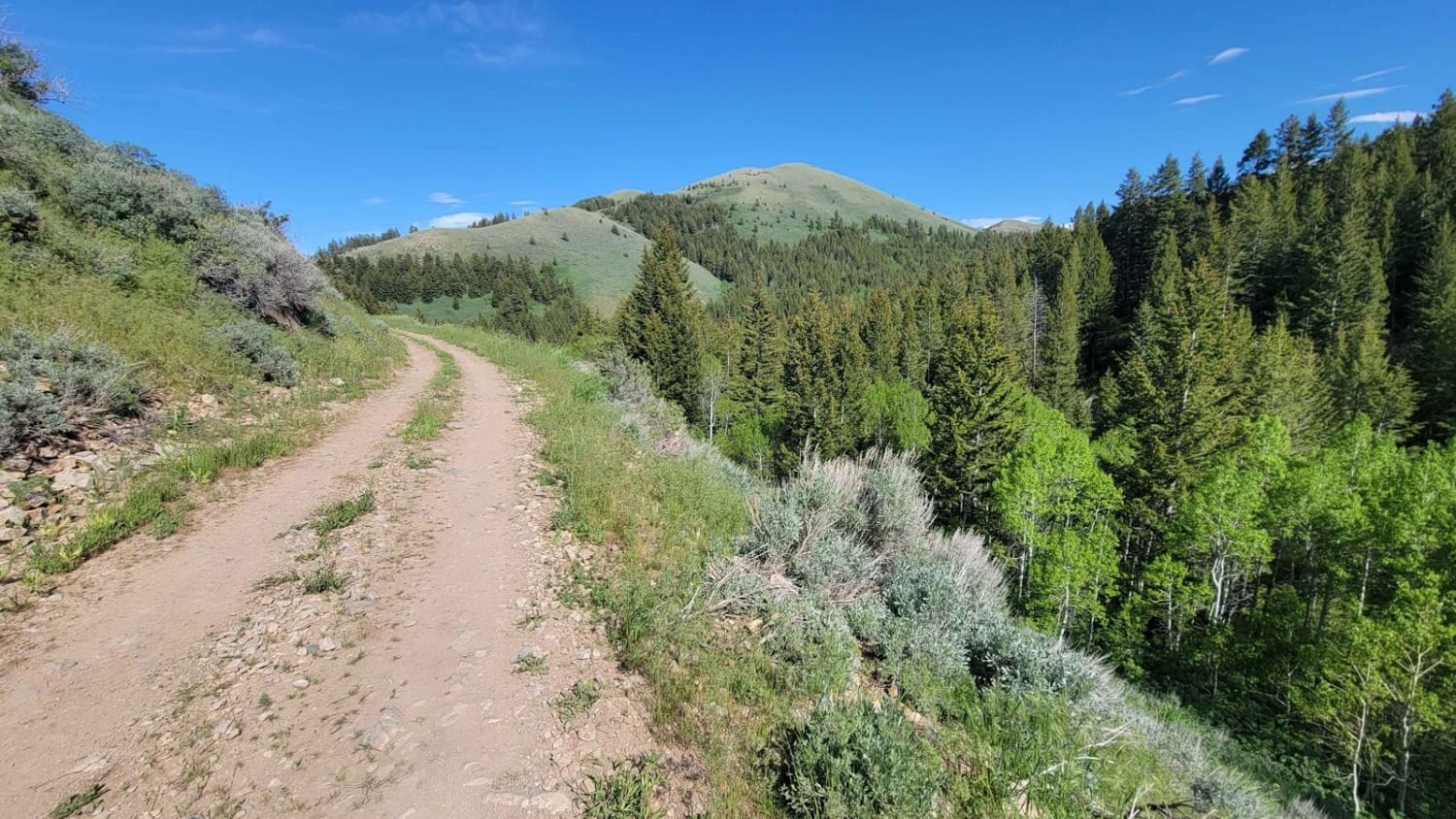
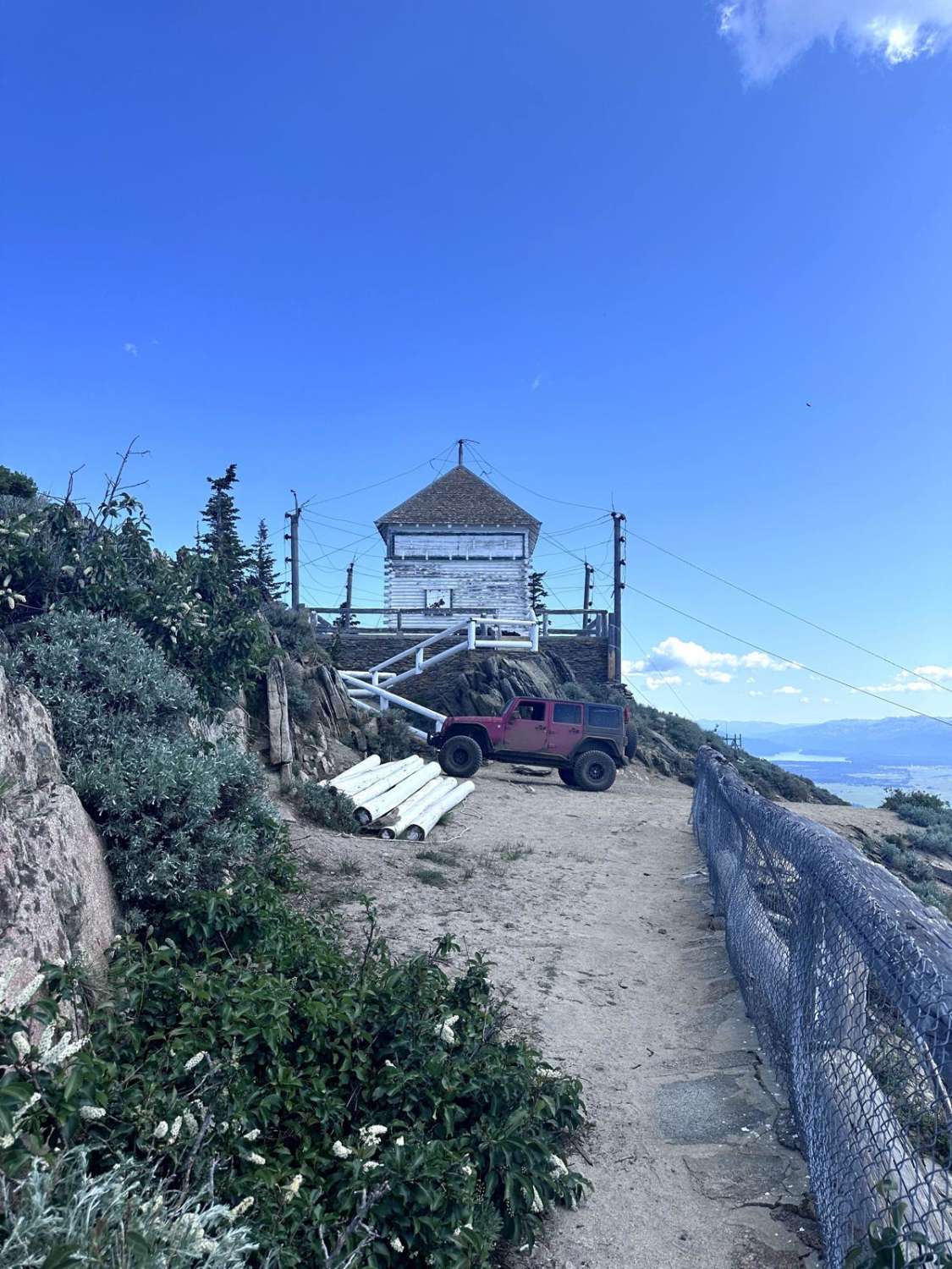
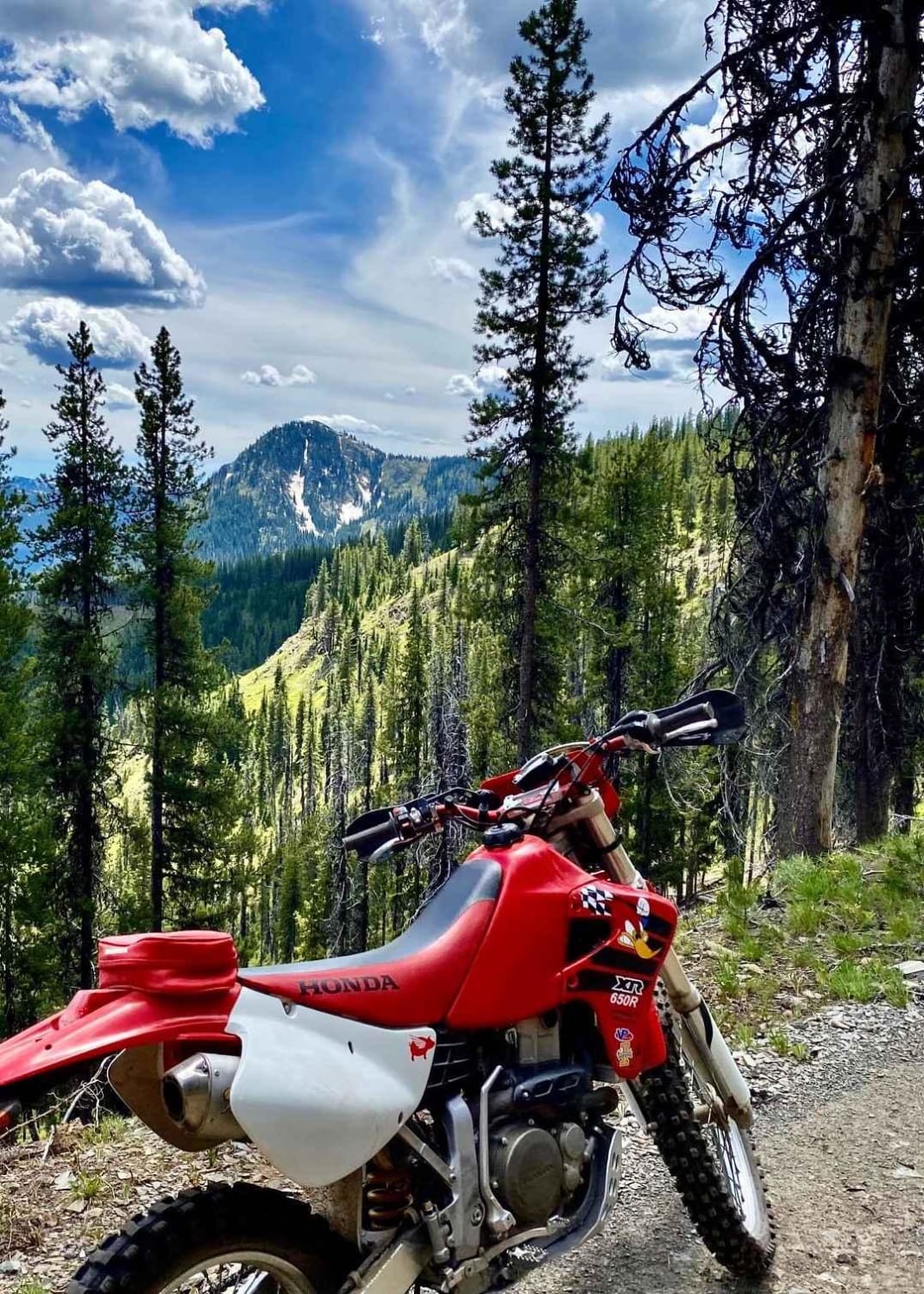
Trail Overview
This curvy and windy section of Sheep's Canyon hugs alongside the slope of the mountainside, offering beautiful views of the surrounding Sawtooth National Forest. There are loose rocky patches, especially around some of the corners. Mud ruts exist here and there. Caution of standing water/mud holes, especially in the early season.
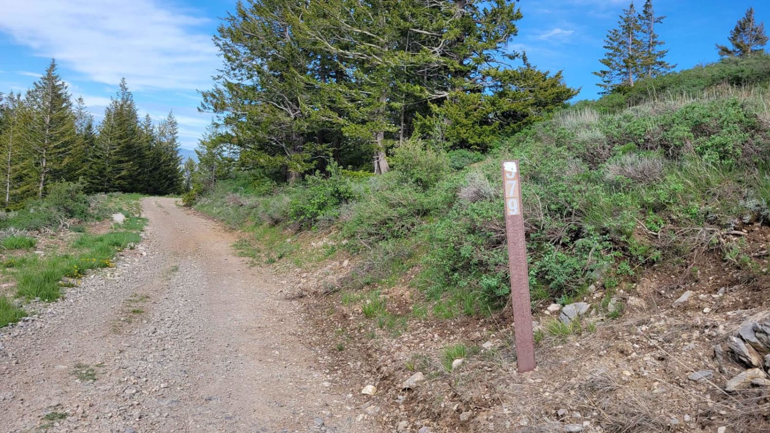
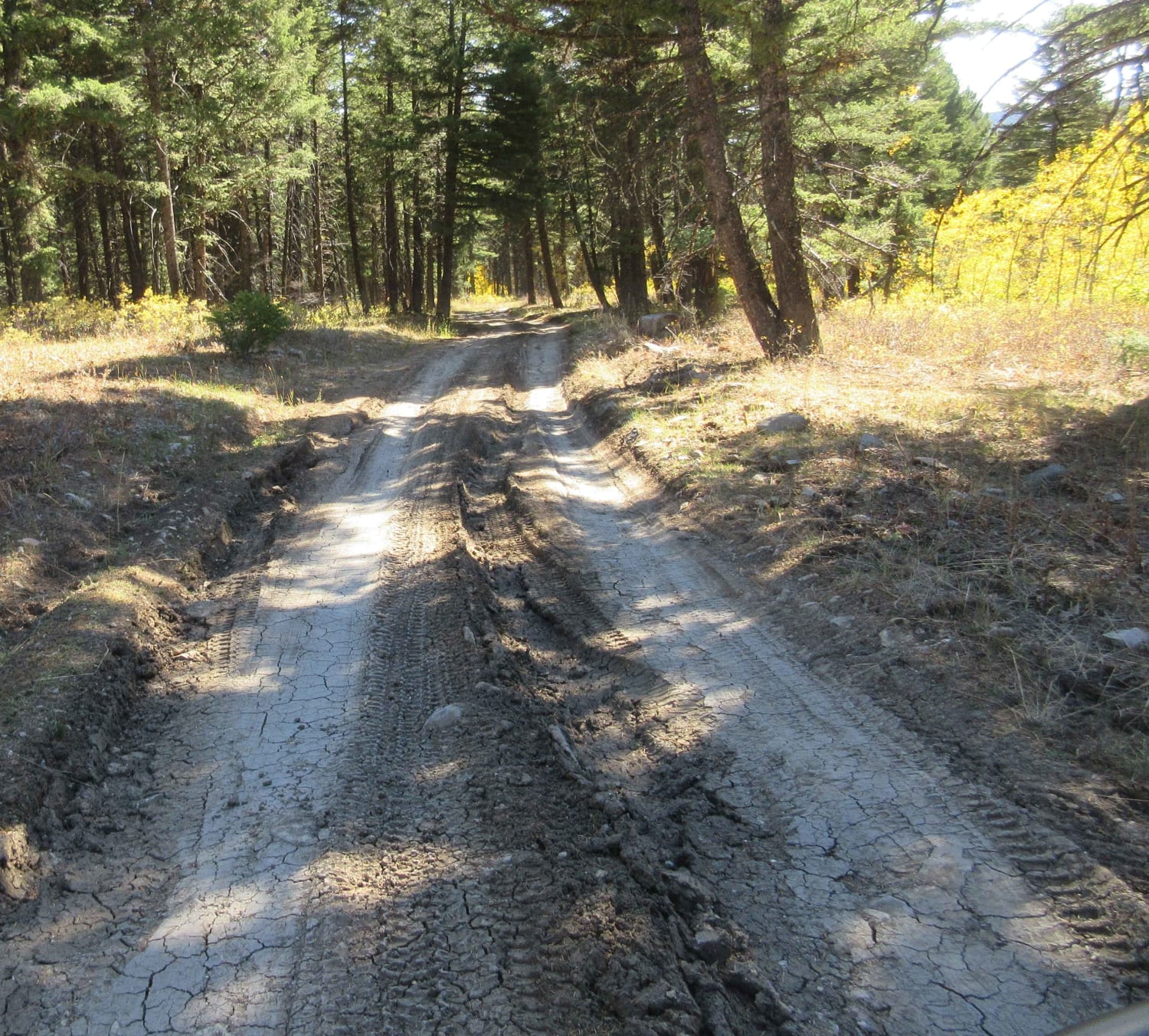
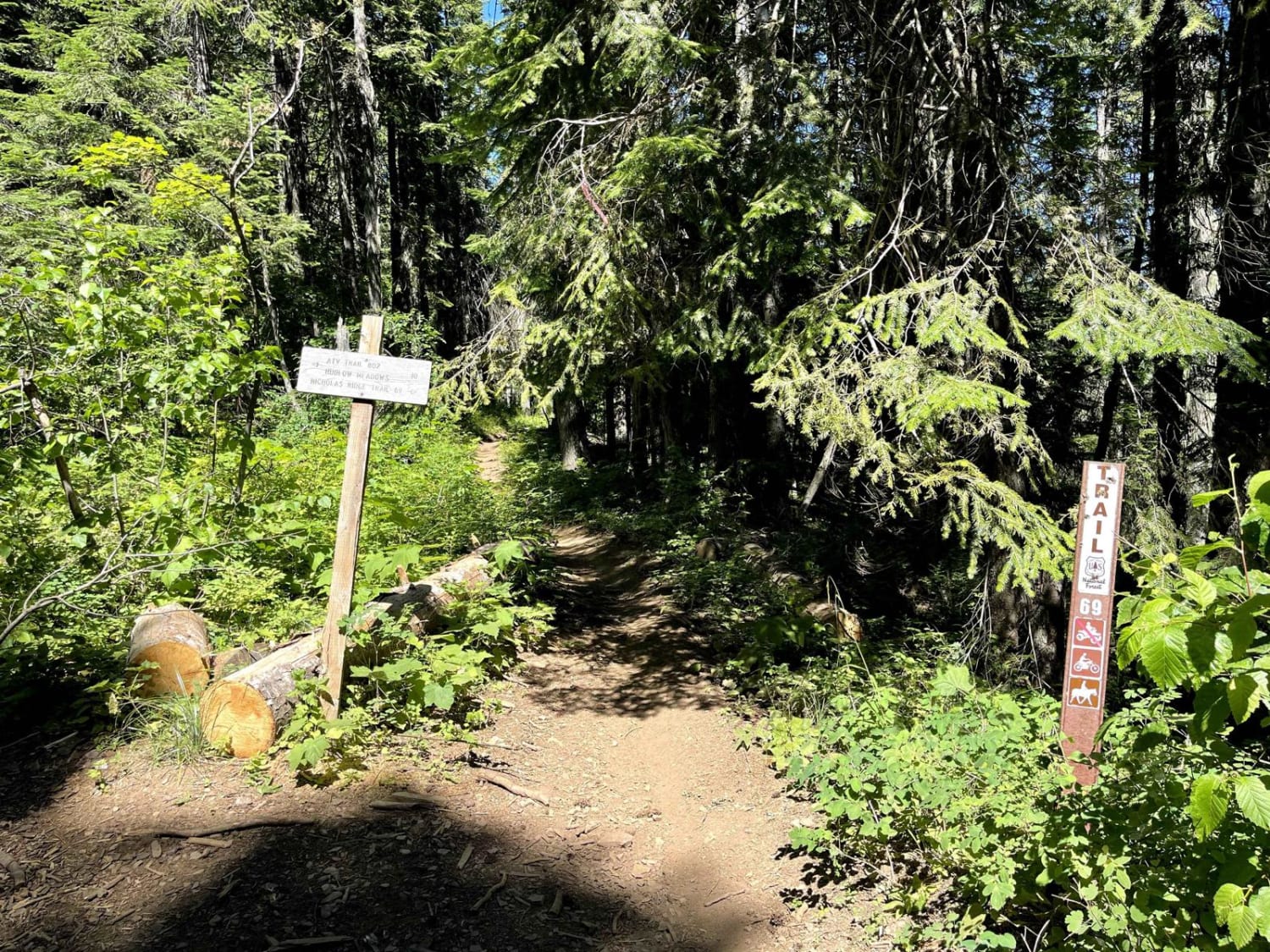
Photos of Sheep Canyon 2
Difficulty
Curvy, windy trail. There are loose rocky patches, especially around some of the corners.
Status Reports
Sheep Canyon 2 can be accessed by the following ride types:
- SxS (60")
- ATV (50")
- Dirt Bike
Sheep Canyon 2 Map
Popular Trails
East Fork Dry Creek
Nicholas Ridge
No Business Lookout
The onX Offroad Difference
onX Offroad combines trail photos, descriptions, difficulty ratings, width restrictions, seasonality, and more in a user-friendly interface. Available on all devices, with offline access and full compatibility with CarPlay and Android Auto. Discover what you’re missing today!