Red Ives Creek
Total Miles
11.9
Technical Rating
Best Time
Summer, Fall
Trail Type
High-Clearance 4x4 Trail
Accessible By
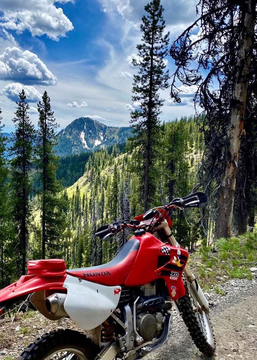
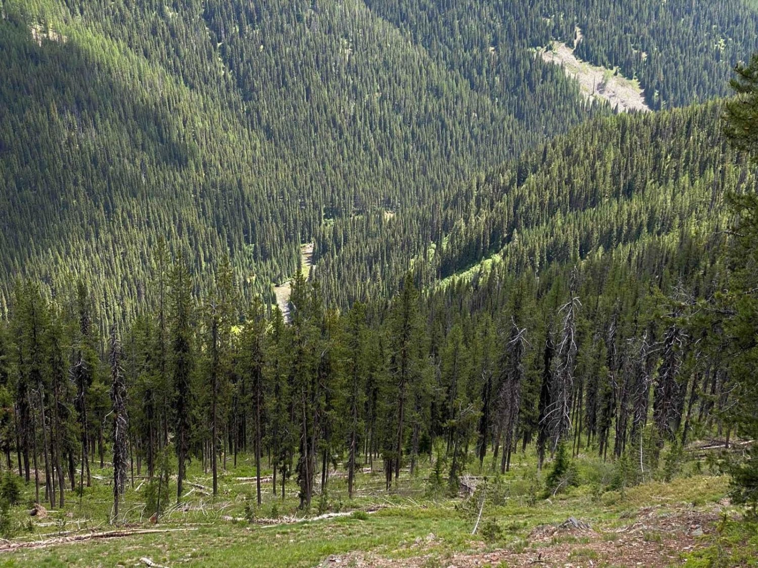
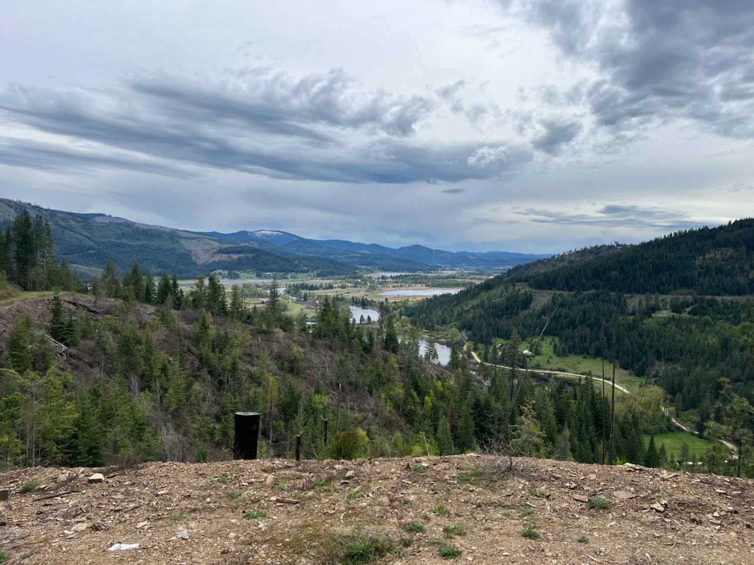
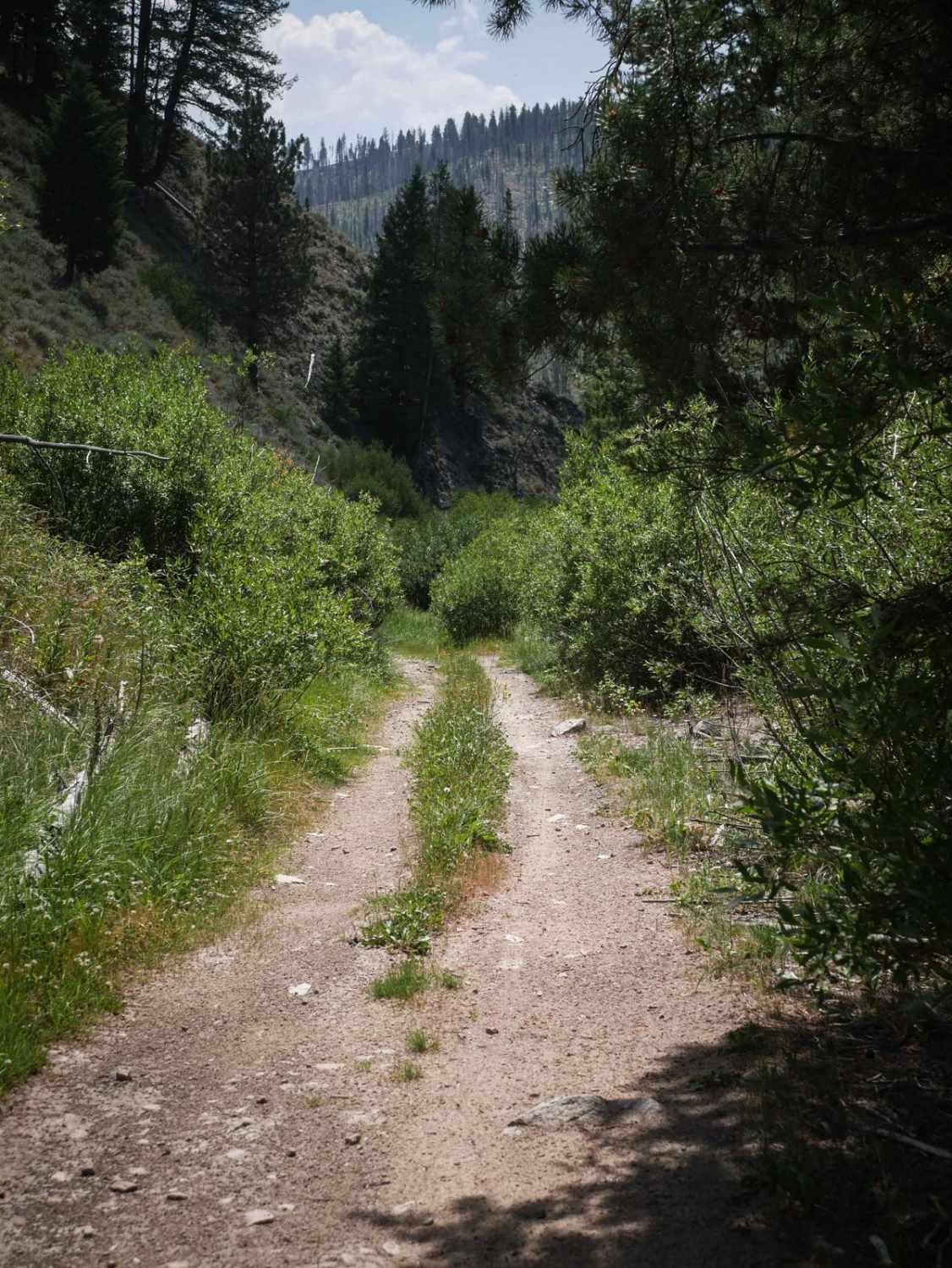
Trail Overview
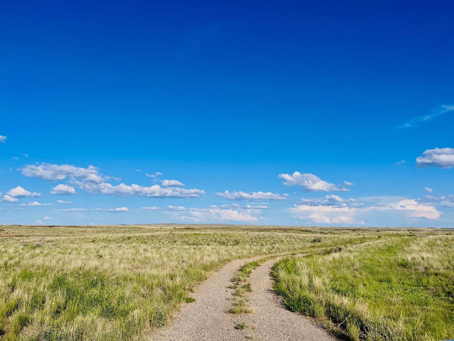
This is a Forest Service Road that runs all the way from Red Ives Ranger Station to Heller Creek Campground. This road connects to others that can take you all the way to Superior, Montana, if you so choose! You will follow right alongside Red Ives creek before climbing up into almost subalpine territory, where after the rough rocky road, you will be rewarded with stunning views of the Bitterroot mountains and St Joe's wild and scenic river below. If you time it right, there are even large huckleberry patches to be found! You will see beautiful mountains like Needle Peak, Red Ives Peak, Cascade Point, Neversweat Peak, and more! This is a narrow dirt forest service road that is extremely rough and rocky in portions that can be uncomfortable for some riders - however, the views are worth it!
Photos of Red Ives Creek
Difficulty
This is an easy road, but is very rough in sections and can be uncomfortable for some riders.
Status Reports
Red Ives Creek can be accessed by the following ride types:
- High-Clearance 4x4
- SxS (60")
- ATV (50")
- Dirt Bike
Red Ives Creek Map
Popular Trails
Kalarney Lake to 4th of July
River Access Tall Grass Loop

NSFDR 985 Slate Creek Bypass
The onX Offroad Difference
onX Offroad combines trail photos, descriptions, difficulty ratings, width restrictions, seasonality, and more in a user-friendly interface. Available on all devices, with offline access and full compatibility with CarPlay and Android Auto. Discover what you’re missing today!