411
Total Miles
1.0
Technical Rating
Best Time
Fall, Summer, Spring
Trail Type
Single Track
Accessible By
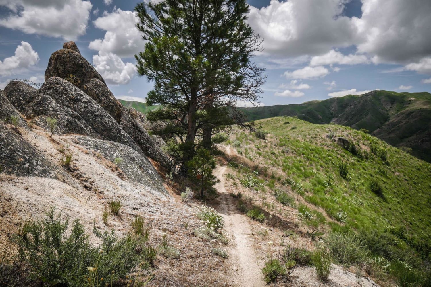
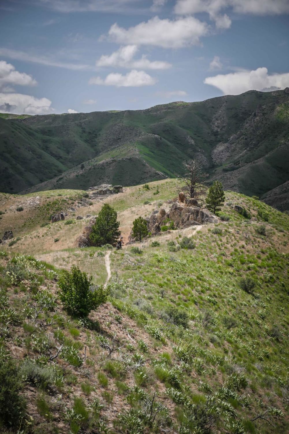
Trail Overview
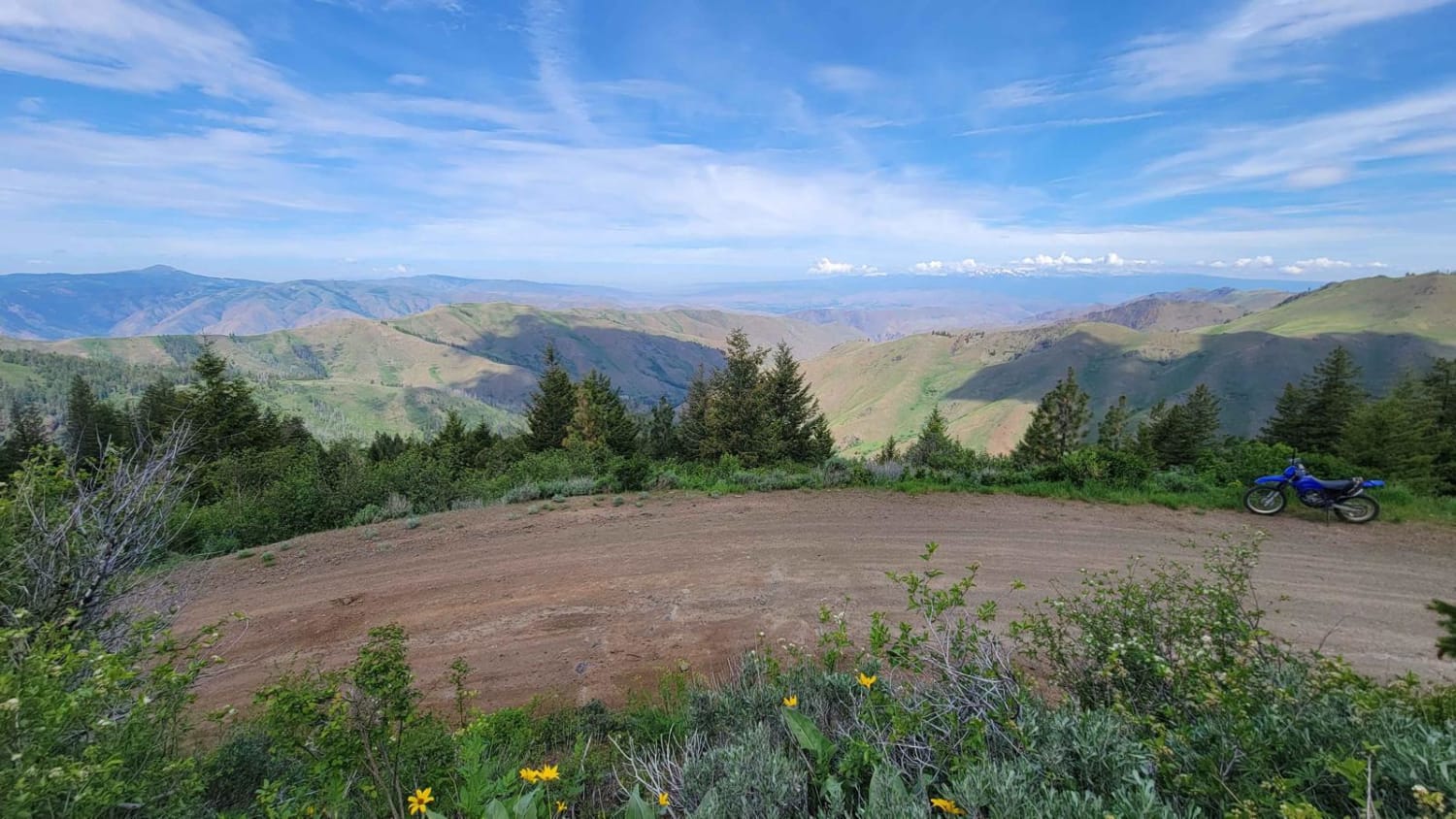
Single track #411 in the Danskin Mountains is a downhill the whole way from #410 to #400 (Northeast to Southwest), dropping 500 feet in a mile. It's a really skinny trail through grassy meadows on a ridge line at the top of a mountain. It has several steep descents with flatter sections in between each steep section. About midway through it has one descent in particular that is steeper, and a bit more rutted out than the rest of the trail, with loose rock, that is more difficult. At the bottom of the trail, there is an easy, shallow creek crossing. Most of the trail goes through a wide open landscape on rolling green hills with no trees, and it passes several cool granite boulders and rock outcroppings.
Photos of 411
Difficulty
This is an easy ridge line trail with steep descents.
Status Reports
411 can be accessed by the following ride types:
- Dirt Bike
411 Map
Popular Trails

Canfield Mountain- Trail 6
Sturgil Dennett
The onX Offroad Difference
onX Offroad combines trail photos, descriptions, difficulty ratings, width restrictions, seasonality, and more in a user-friendly interface. Available on all devices, with offline access and full compatibility with CarPlay and Android Auto. Discover what you’re missing today!