Blue Ridge - FS 7048
Total Miles
6.3
Technical Rating
Best Time
Summer
Trail Type
50" Trail
Accessible By
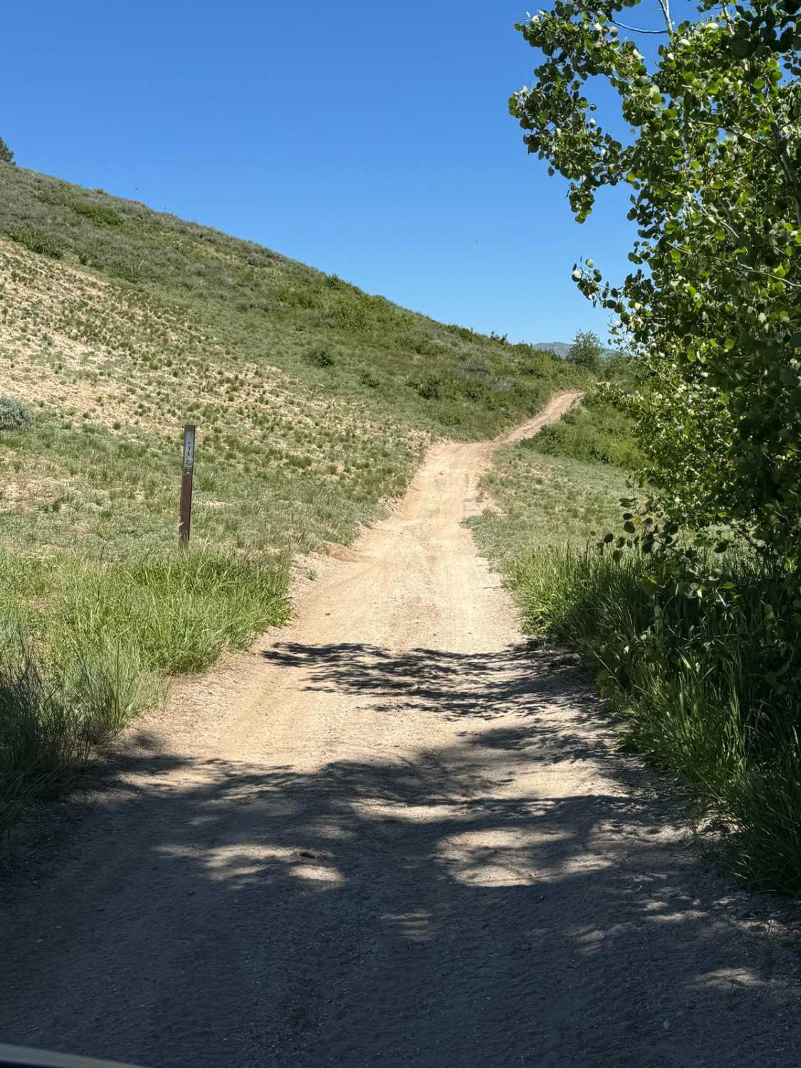
Trail Overview
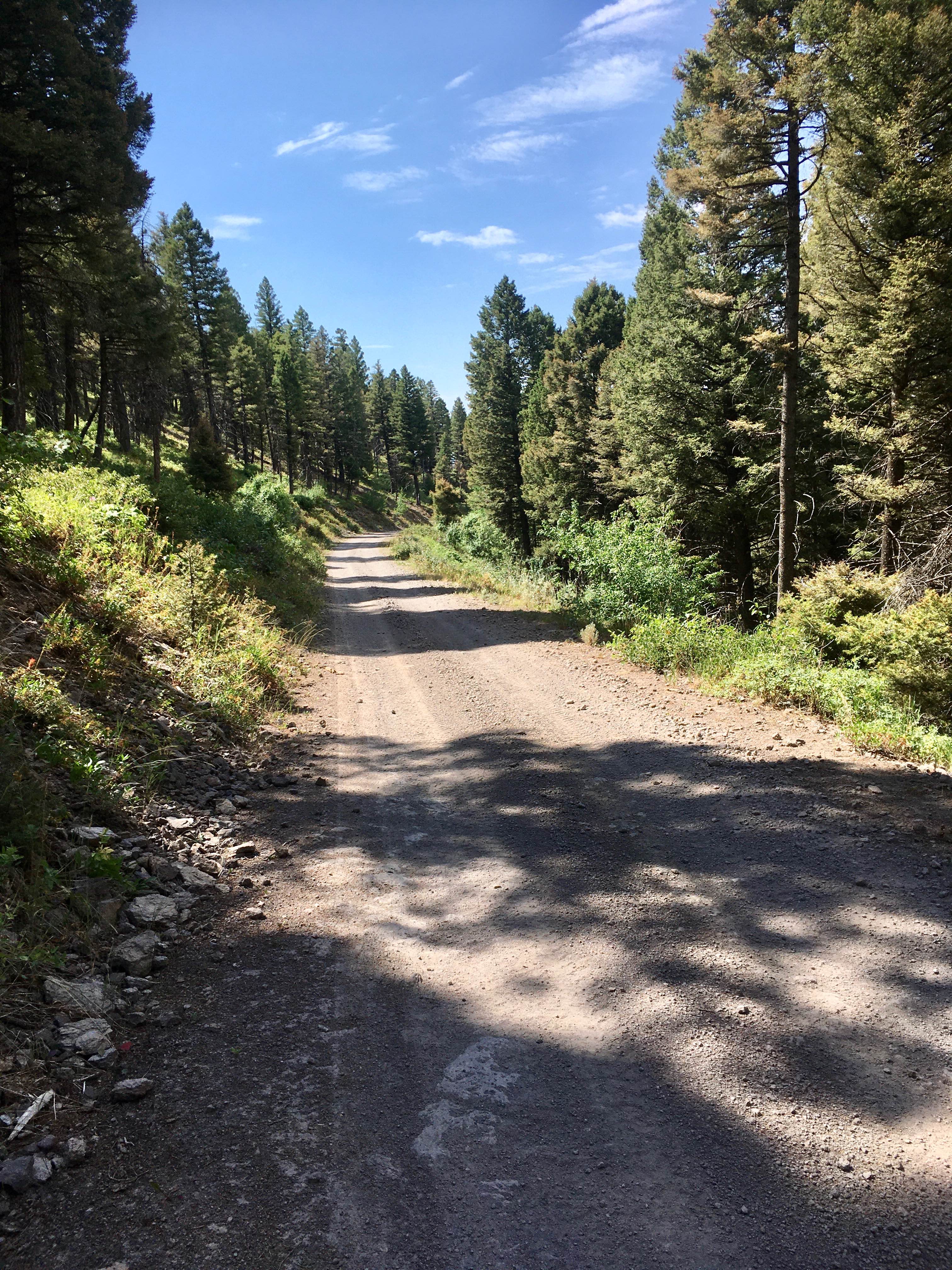
The Blue Ridge Trail is a 6.4-mile trail that is part of the Kelly Creek ATV loop. This trail connects Virginia Gulch and Iron Mountain Trail. The Blue Ridge Trail runs along the ridge line at approx 8,000 feet giving amazing views of the nearby mountains. Connect and make a loop using the West Fork of Kelly Creek, Spur Road 166D to Virginia Gulch, to Iron Mountain Trail. Look for signage for the Kelly Creek ATV loop - the route is well-marked. Making this loop will take several hours but gives you incredible views of the surrounding mountains. Take a side trip to Iron Mountain Lookout.
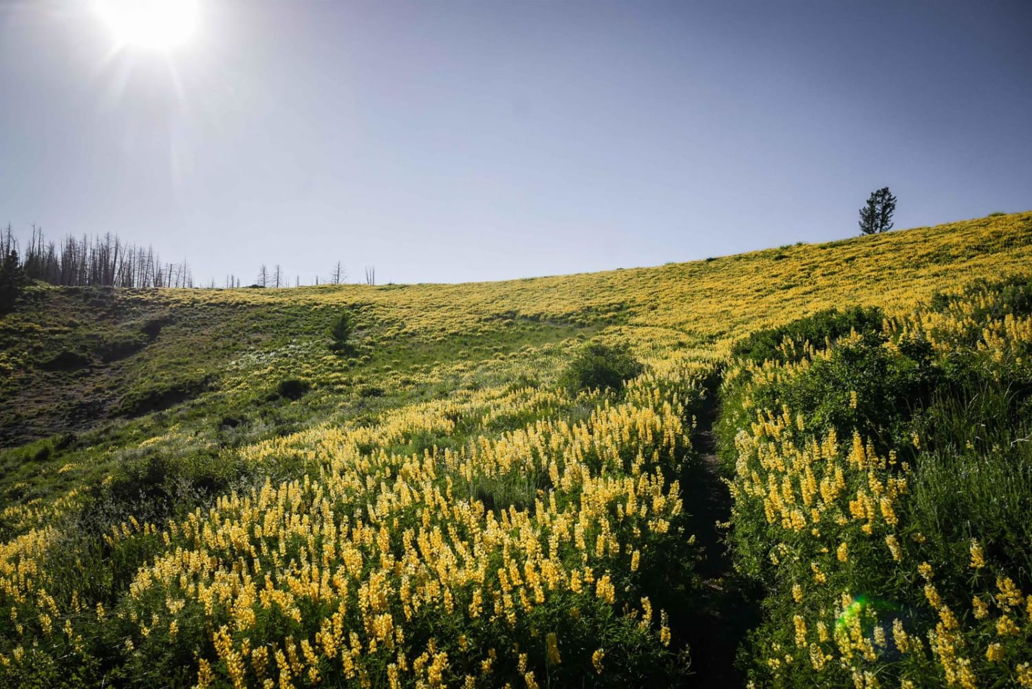
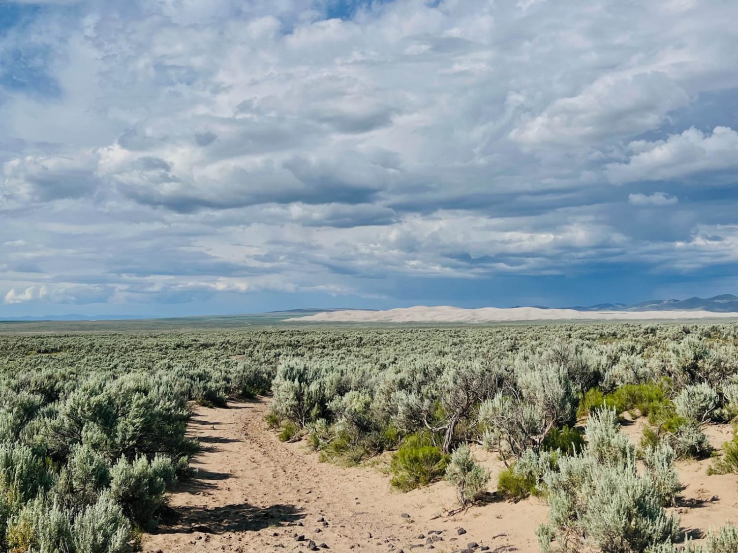
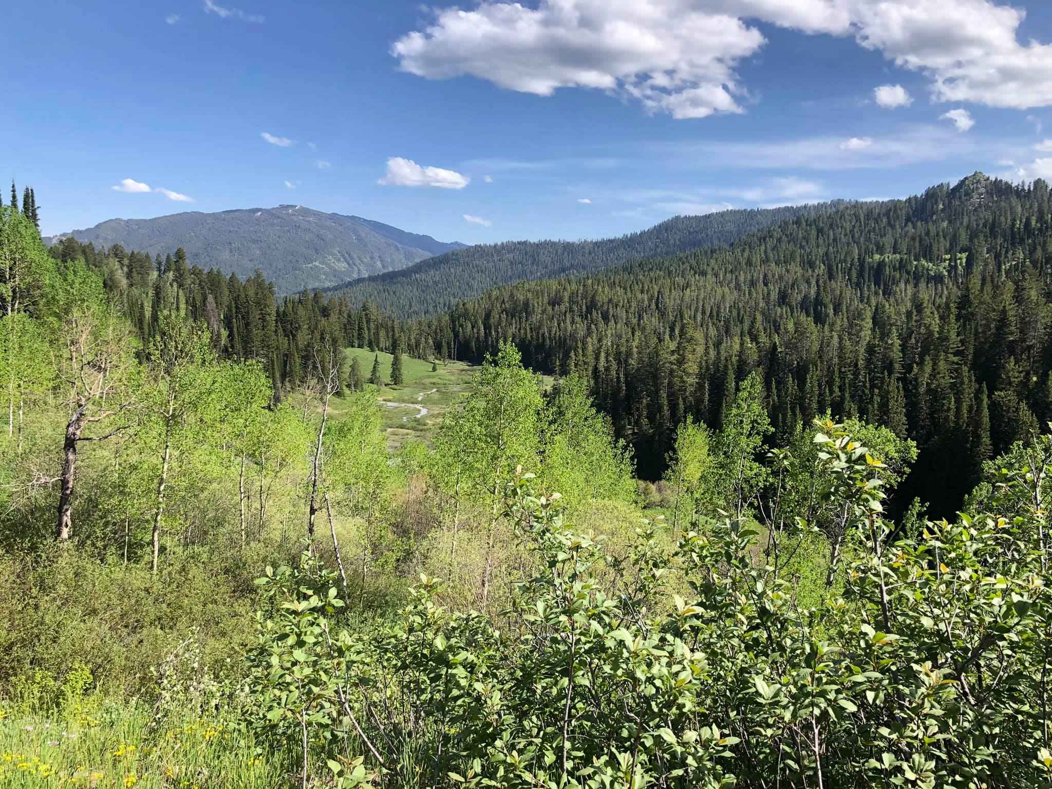
Photos of Blue Ridge - FS 7048

Difficulty
The trail is narrow with some ruts as it runs across the ridge line with very few spots for passing.
Status Reports
Blue Ridge - FS 7048 can be accessed by the following ride types:
- ATV (50")
- Dirt Bike
Blue Ridge - FS 7048 Map
Popular Trails
A Mile and a Half Road
Jensen Forest Road
Middle Threemile Road
The onX Offroad Difference
onX Offroad combines trail photos, descriptions, difficulty ratings, width restrictions, seasonality, and more in a user-friendly interface. Available on all devices, with offline access and full compatibility with CarPlay and Android Auto. Discover what you’re missing today!