Trail Overview
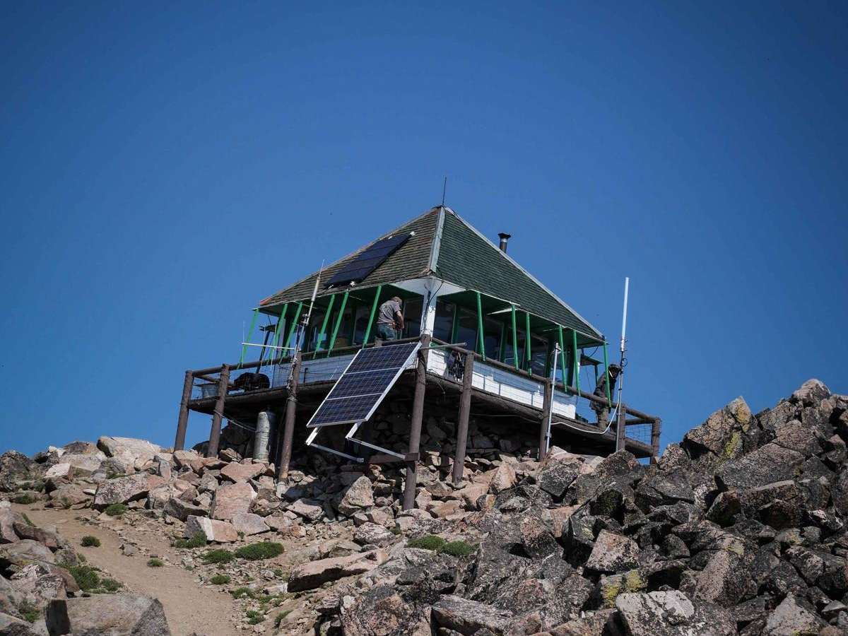
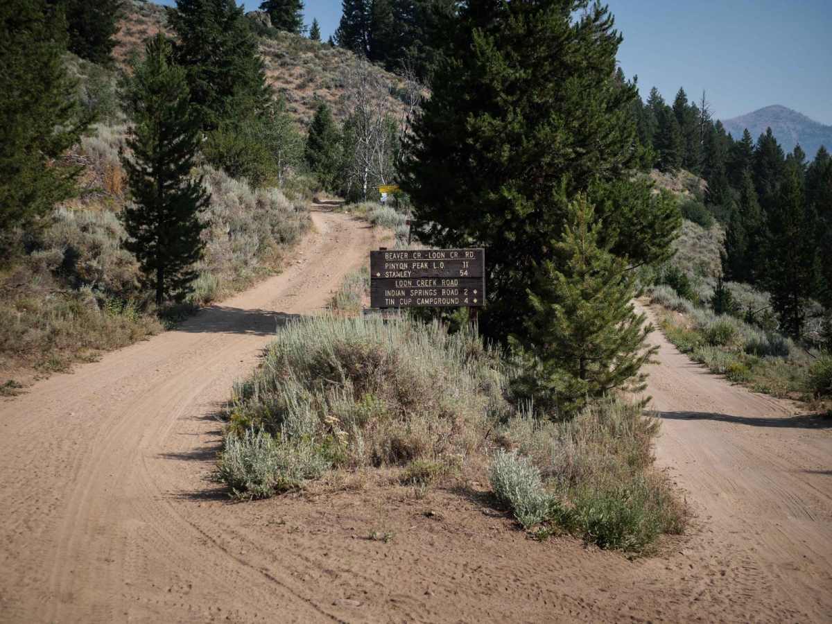
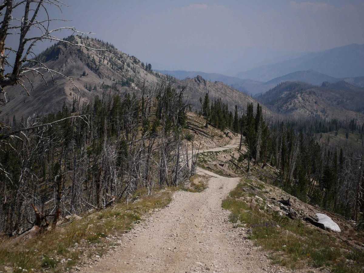
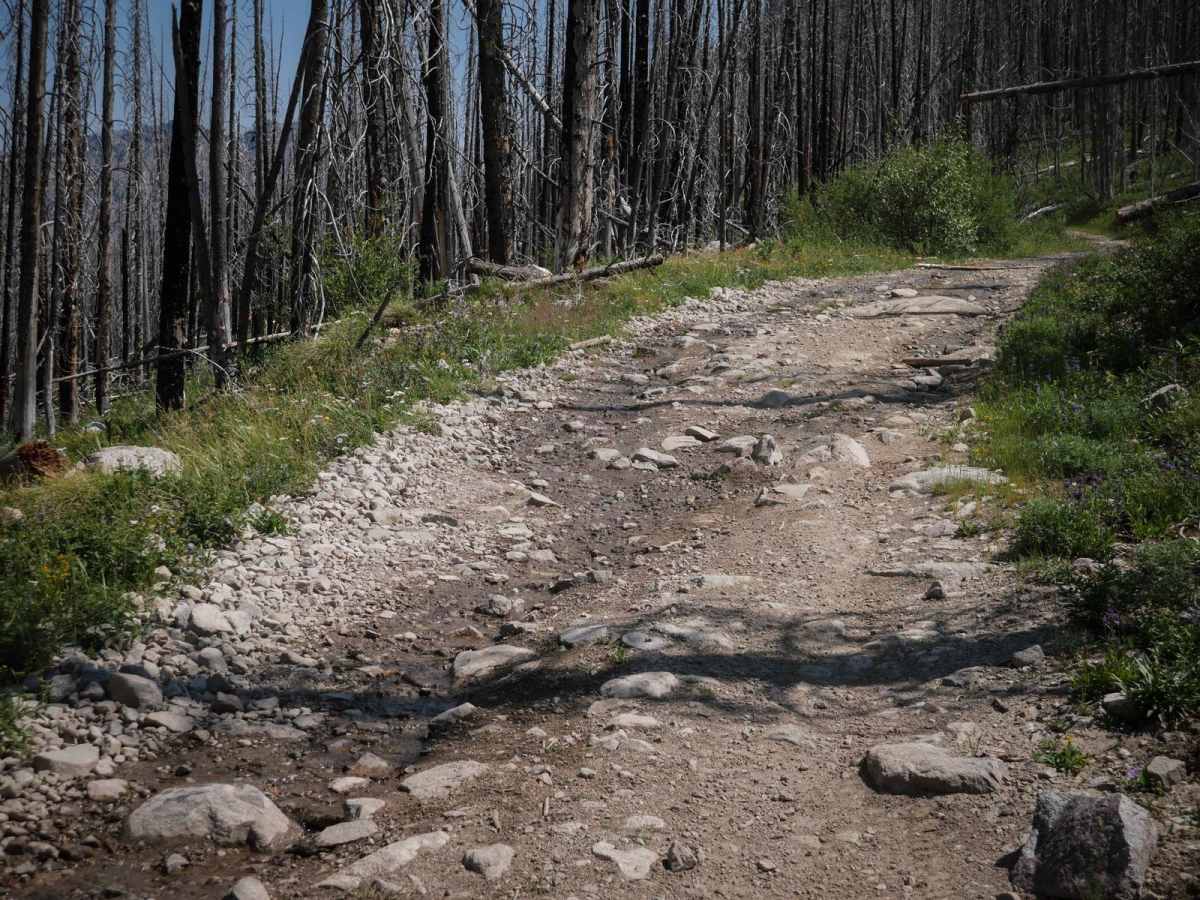
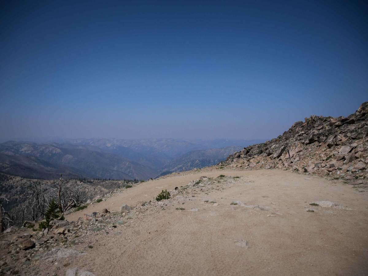
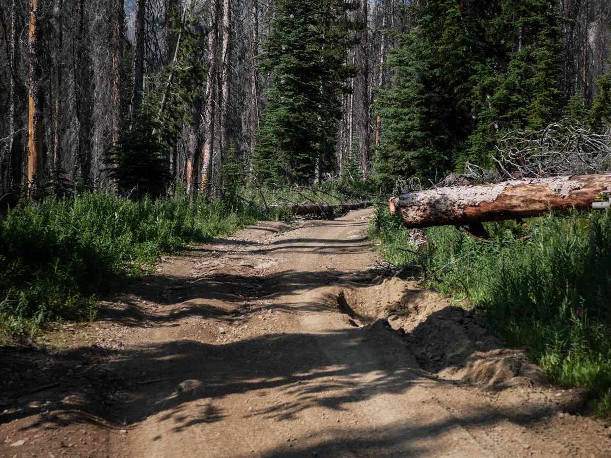
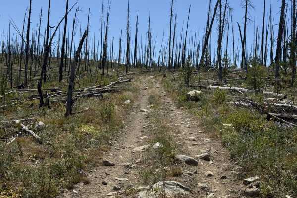
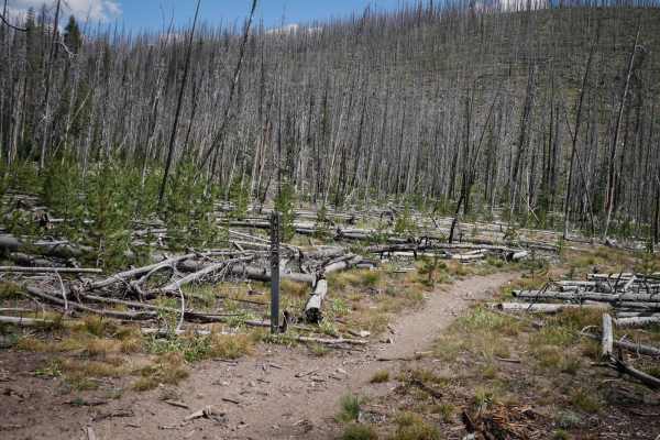
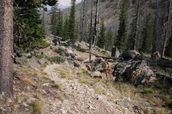
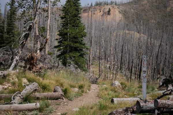
This is a 13-mile route from the Loon Creek Guard Station to the Pinyon Peak Look Out Tower. The trail departs left after the guard station and starts to climb up. It starts off much narrower and more technical than the 21-mile section of Beaver Loon that accessed the guard station. The trail is one lane, bumpy and rutted, with loose rocky switchbacks. It has big dips and bumps over culverts and ruts. It goes up a switchback section with tight turns and ruts. Then it goes straight for several miles through a pine tree forest and a burn area. There's potential for downfall through the burn area. It goes past an old rusted abandoned truck, lots of natural springs causing water to pool on the trail, and passes a few lakes near the top. There are big ruts and mud holes, but no large ledges or significant obstacles. There are several more switchbacks to get up to the turnoff to the lookout tower that are relatively easy and shelfy, with a few more embedded rock surfaces, loose cobble, and embedded boulders that are all relatively flat. Note that there is a snow drift at the final switchback on Beaver Loon before the turn-off to the tower that may not be melted until the end of July. If the snow drift hasn't melted yet or been dug out, then you won't be able to access the lookout tower or make this a loop into Stanley. Dirt bikes would most likely be able to get past the snow drift though, and you could walk the last 1.3 miles to the tower if you really want a good workout. After the turnoff onto 40005, there are another 9 switchbacks to get to the lookout tower. Some of these switchbacks have embedded rocks in the corners, making them a bit more difficult. Again, this section is shelfy with moderate exposure and needs to be driven cautiously. It's incredibly worth it if you can make it all the way up to the tower, as it's an amazing view and experience. This is one of Idaho's 60 remaining manned fire towers during fire season. A two-person crew lives in the tower from July to September, and if they are willing to visit with you, they have some interesting stories to tell about living in a fire tower and how they triangulate any fires they see. They have a fire finder device that was designed in 1910 that uses horsehair and a specific map to plot any new fires.
Difficulty
This dirt road is a 4 difficulty due to rocky and shelfy sections that require some off-road experience. The trail has about 20 switchbacks that get more technical as you get farther up the mountain. Most are gradual and wide, but some have embedded rock in the turn. There aren't any specific notable obstacles or ledges on this route, but there are lots of ruts and rocky sections that will need to be navigated. Please use extreme caution when there is exposure. This took less than an hour in a stock RZR 1000.
History
The 14' by 14' Pinyon Peak Lookout Tower was built in 1930, sits at 9,855 ft elevation, and is manned during the fire season months.