Off-Road Trails in Utah
Discover off-road trails in Utah
Learn more about Lost Spring Wash 
Lost Spring Wash
Total Miles
5.9
Tech Rating
Easy
Best Time
Spring, Fall, Winter
Learn more about Lost Springs Road
Lost Springs Road
Total Miles
5.7
Tech Rating
Easy
Best Time
Spring, Summer, Fall, Winter
Learn more about Lost World - D2700
Lost World - D2700
Total Miles
8.1
Tech Rating
Moderate
Best Time
Spring, Summer, Fall, Winter
Learn more about Lower Barracks Trail - BLM20
Lower Barracks Trail - BLM20
Total Miles
5.7
Tech Rating
Moderate
Best Time
Spring, Summer, Fall
Learn more about Lower Black Mesa Loop 
Lower Black Mesa Loop
Total Miles
2.4
Tech Rating
Moderate
Best Time
Spring, Summer, Fall
Learn more about Lower Box Creek Reservoir (FS# 40159)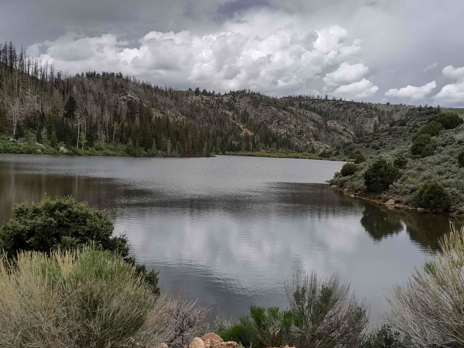
Lower Box Creek Reservoir (FS# 40159)
Total Miles
0.5
Tech Rating
Easy
Best Time
Spring, Summer, Fall
Learn more about Lower Dunes Road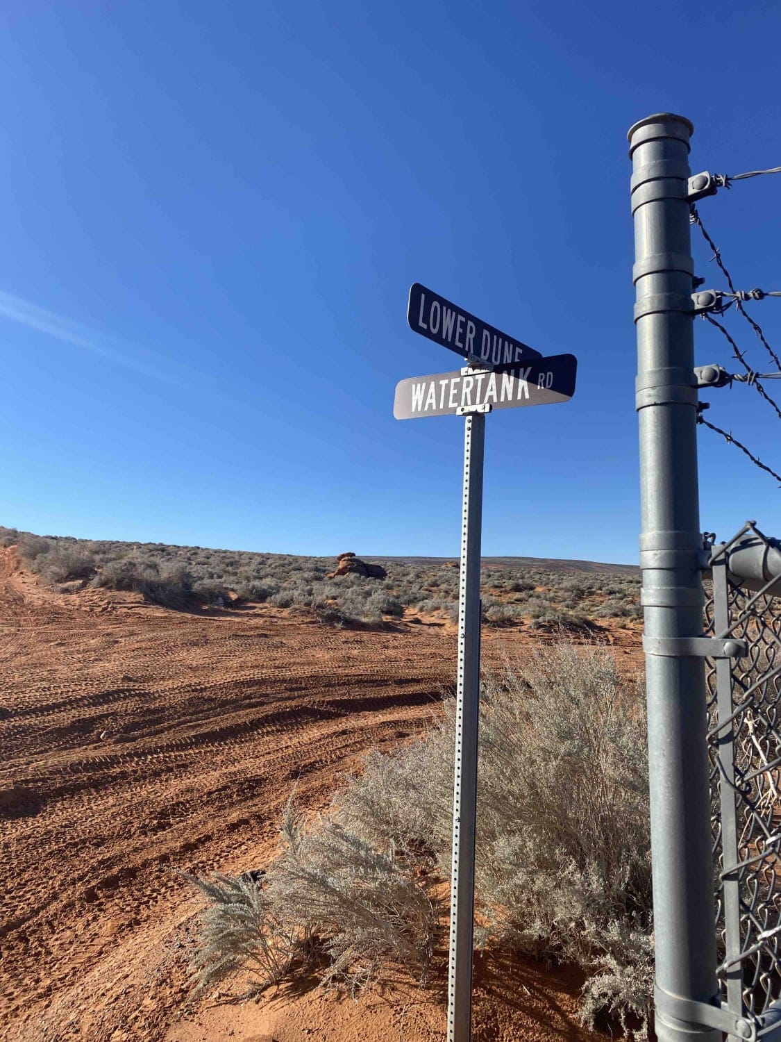
Lower Dunes Road
Total Miles
1.2
Tech Rating
Easy
Best Time
Spring, Summer, Fall, Winter
Learn more about Lower Enterprise Lakes / Veyo Road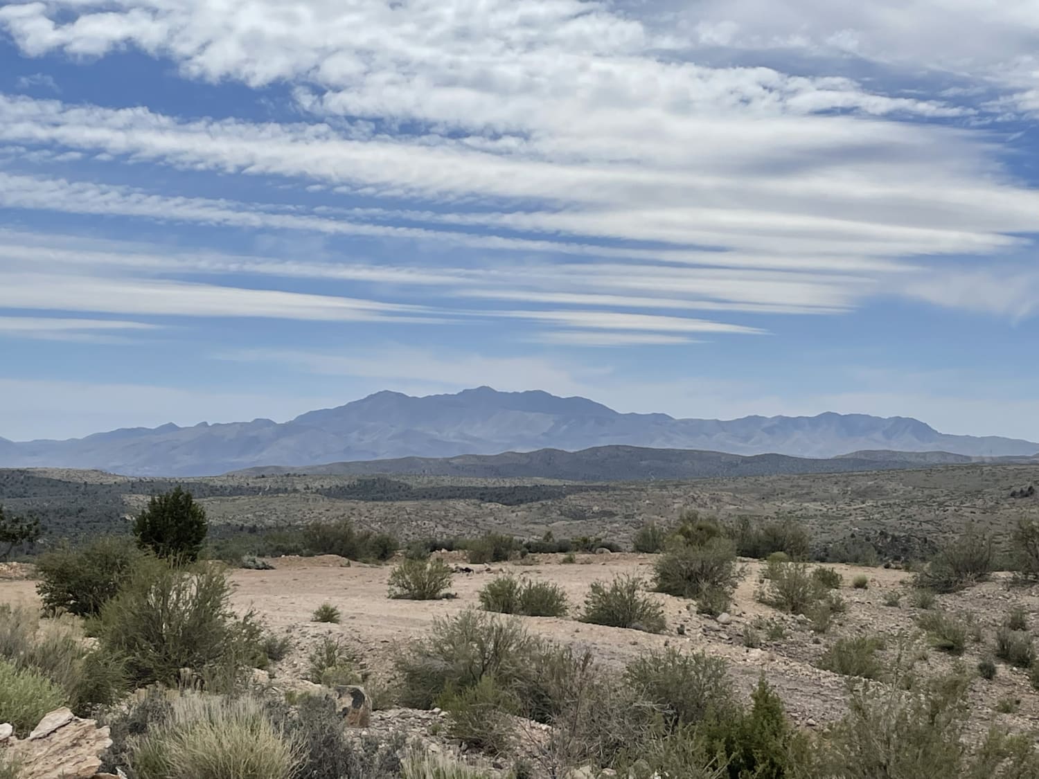
Lower Enterprise Lakes / Veyo Road
Total Miles
10.0
Tech Rating
Easy
Best Time
Spring, Fall
Learn more about Lower Finger Ridge 
Lower Finger Ridge
Total Miles
10.9
Tech Rating
Easy
Best Time
Spring, Summer, Fall, Winter
Learn more about Lower Indian Creek Trail No. 021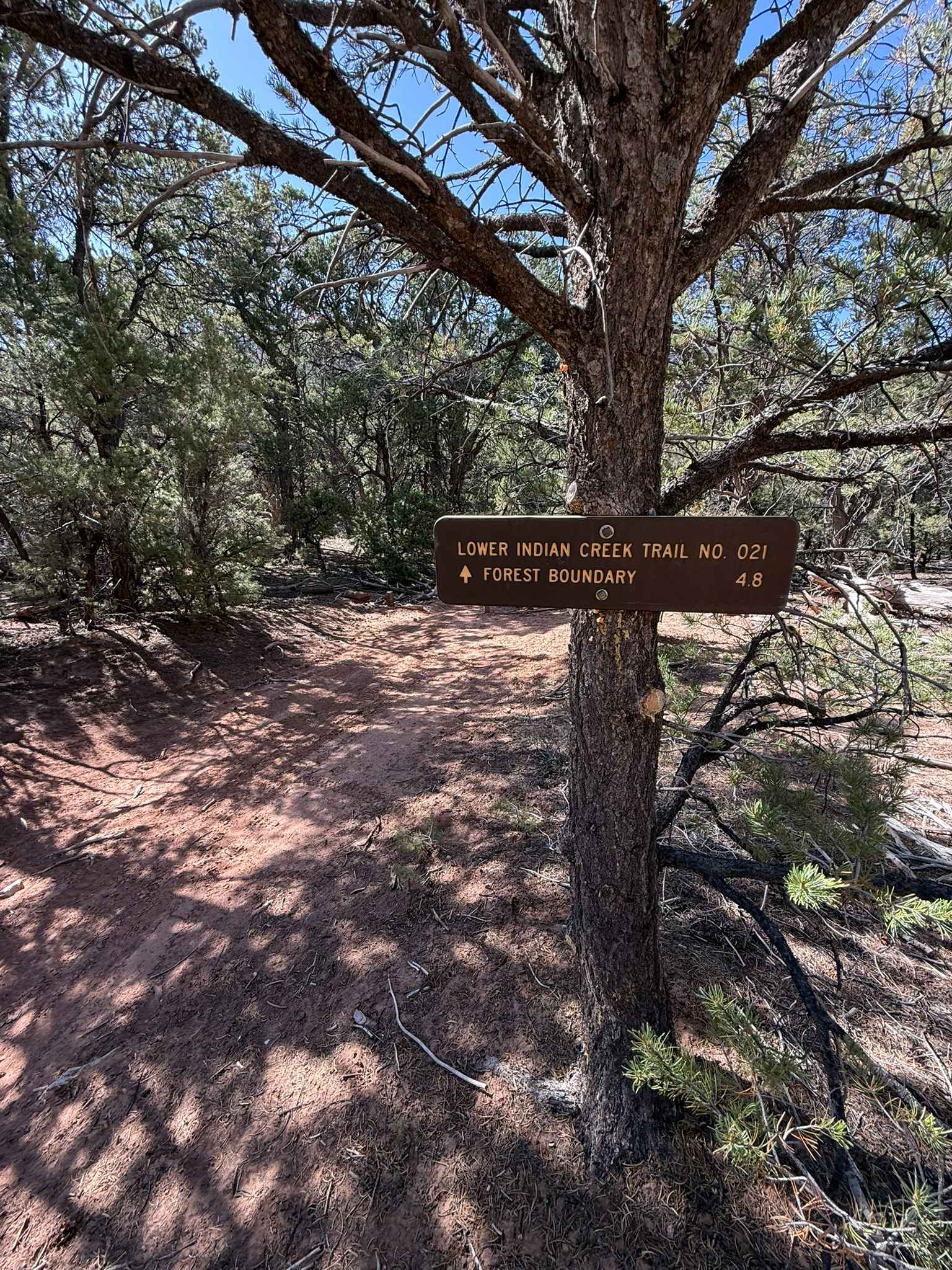
Lower Indian Creek Trail No. 021
Total Miles
6.7
Tech Rating
Difficult
Best Time
Spring, Summer, Fall
Learn more about Lower Last Chance Loop Road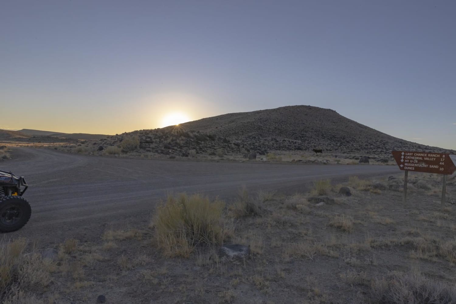
Lower Last Chance Loop Road
Total Miles
51.0
Tech Rating
Easy
Best Time
Spring, Summer, Fall, Winter
Learn more about Lower Parish Creek
Lower Parish Creek
Total Miles
0.9
Tech Rating
Moderate
Best Time
Summer, Fall
Learn more about Lower Ranch Canyon Road-Beaver County 23
Lower Ranch Canyon Road-Beaver County 23
Total Miles
12.1
Tech Rating
Easy
Best Time
Spring, Summer, Fall
Learn more about Lower Rock Canyon Overlook - FS 4950
Lower Rock Canyon Overlook - FS 4950
Total Miles
2.5
Tech Rating
Easy
Best Time
Fall, Summer, Spring
Learn more about Lower Rocks Road
Lower Rocks Road
Total Miles
3.4
Tech Rating
Easy
Best Time
Fall, Summer, Spring
Learn more about Lower Rocks Road Trail
Lower Rocks Road Trail
Total Miles
2.7
Tech Rating
Moderate
Best Time
Spring, Summer, Fall
Learn more about Lower San Rafael River Petroglyphs
Lower San Rafael River Petroglyphs
Total Miles
3.8
Tech Rating
Easy
Best Time
Spring, Summer, Fall, Winter
Learn more about Lower San Rafael Road
Lower San Rafael Road
Total Miles
41.8
Tech Rating
Easy
Best Time
Spring, Summer, Fall
Learn more about Lower Sand Cove Dam
Lower Sand Cove Dam
Total Miles
2.6
Tech Rating
Easy
Best Time
Spring, Fall, Winter, Summer
ATV trails in Utah

Learn more about 14 Mile Road
14 Mile Road
Total Miles
14.7
Tech Rating
Easy
Best Time
Spring, Summer, Fall, Winter


UTV/side-by-side trails in Utah
Learn more about 14 Mile Road
14 Mile Road
Total Miles
14.7
Tech Rating
Easy
Best Time
Spring, Summer, Fall, Winter
The onX Offroad Difference
onX Offroad combines trail photos, descriptions, difficulty ratings, width restrictions, seasonality, and more in a user-friendly interface. Available on all devices, with offline access and full compatibility with CarPlay and Android Auto. Discover what you’re missing today!