Lower San Rafael Road
Total Miles
41.8
Technical Rating
Best Time
Spring, Summer, Fall
Trail Type
Full-Width Road
Accessible By
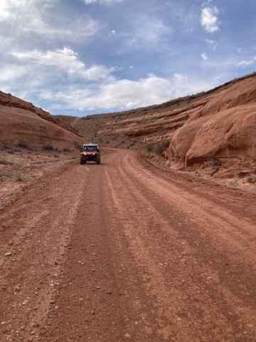
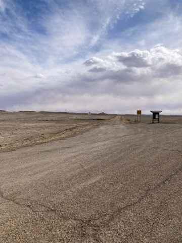
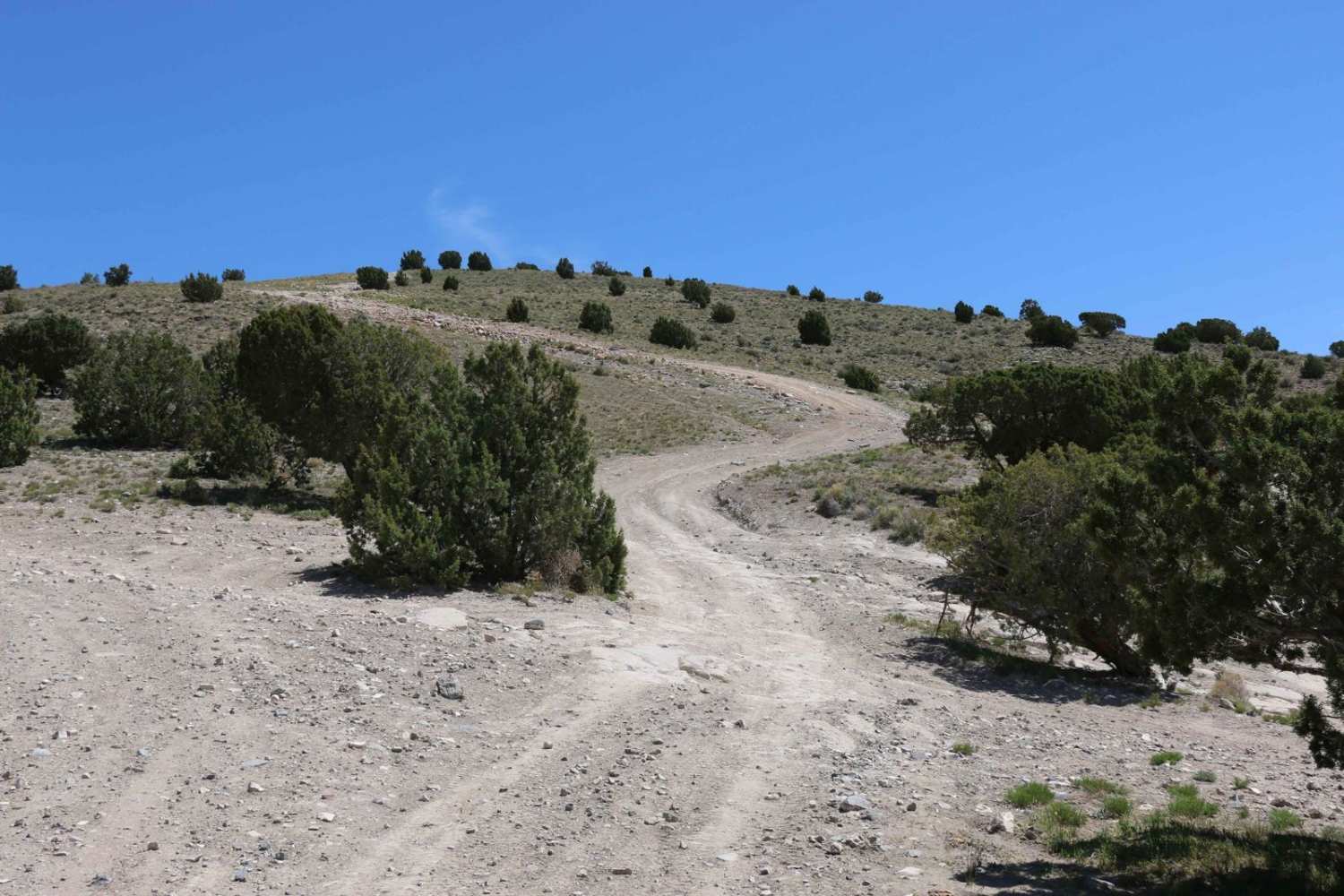
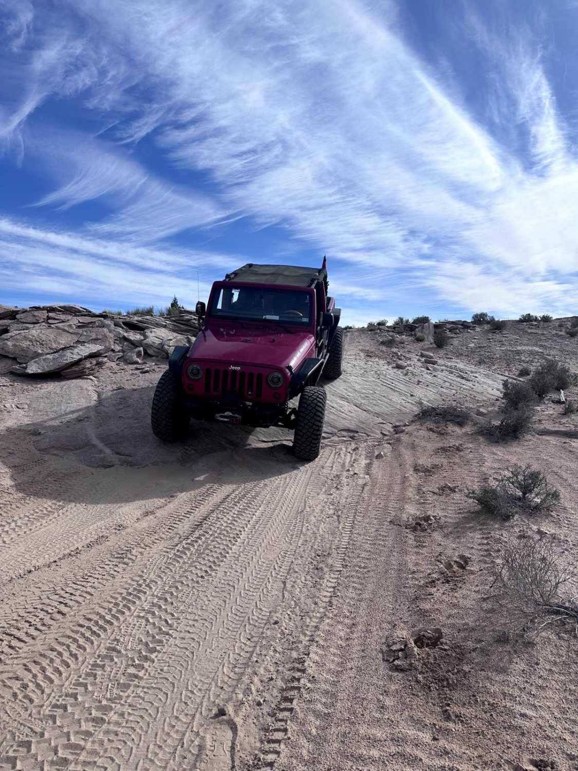
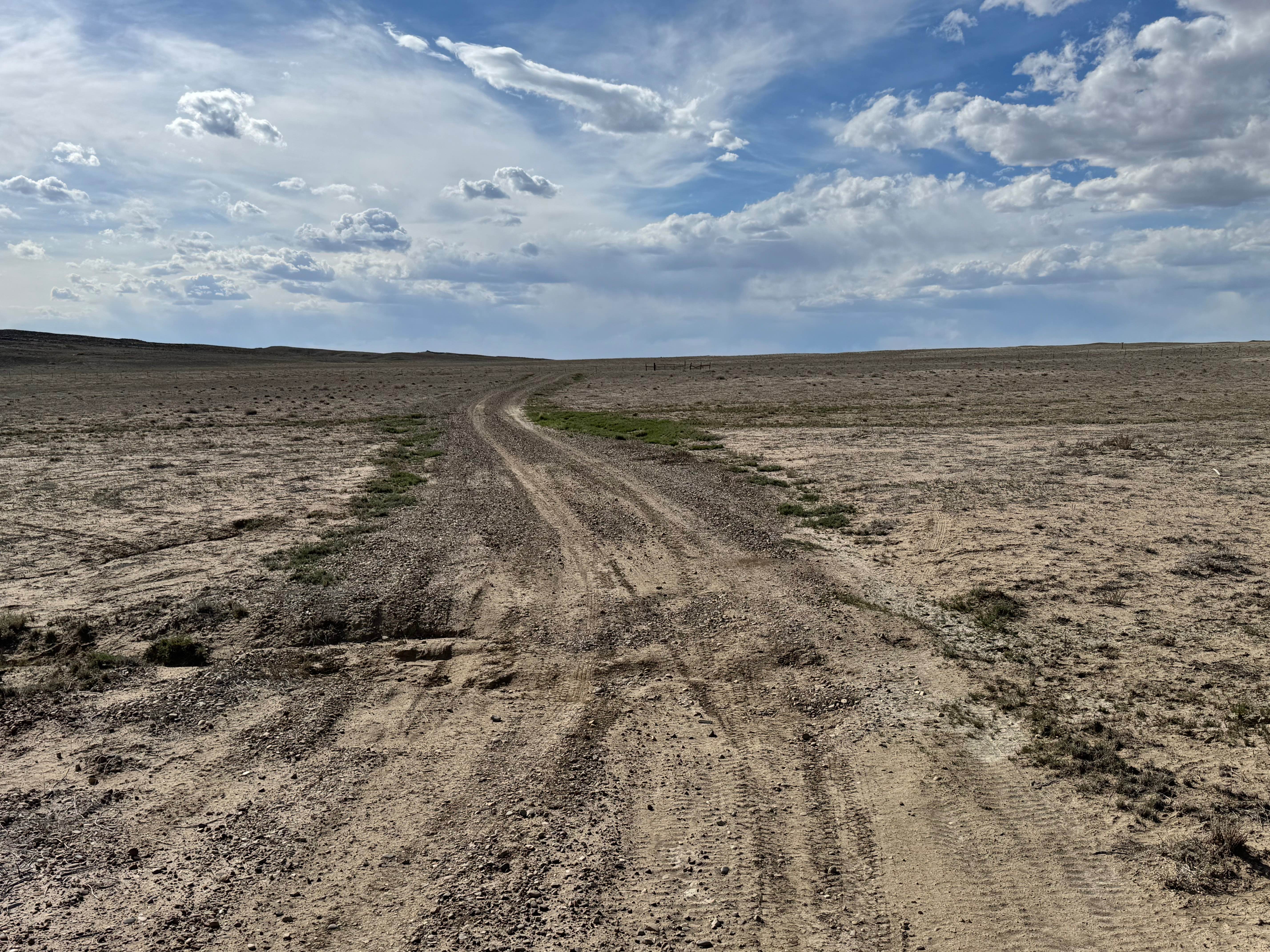
Trail Overview
The Lower San Rafael Road starts just outside of Green River, Utah. We took the route 41 miles to the border of the Canyonlands National Park at the Horseshoe Canyon trailhead. This is the main north-south dirt route through the San Rafael desert and is a good graded and maintained dirt road, but like all roads in the area, may become impassable when wet. This is a scenic drive through the desert bordered by the La Sal Mountains to the east, the San Rafael Reef to the west, the Henry Mountains to the south, and the Book Cliffs to the north. There are many places to pull off and camp along the route along with an almost endless number of side routes and canyons to explore along the way. The road parallels the west side of the Labyrinth Canyon Wilderness on the Southern end of the road.
Photos of Lower San Rafael Road
Difficulty
There are a few dry wash crossings that can become eroded after a storm. There is a sandy section on the very southern end of the route and the conditions will vary depending on the weather.
Status Reports
Lower San Rafael Road can be accessed by the following ride types:
- High-Clearance 4x4
- SUV
- SxS (60")
- ATV (50")
- Dirt Bike
Lower San Rafael Road Map
Popular Trails
Wanlass Hill Access

Loafer Mountain - FS 8098
Lost World - D2700
The onX Offroad Difference
onX Offroad combines trail photos, descriptions, difficulty ratings, width restrictions, seasonality, and more in a user-friendly interface. Available on all devices, with offline access and full compatibility with CarPlay and Android Auto. Discover what you’re missing today!