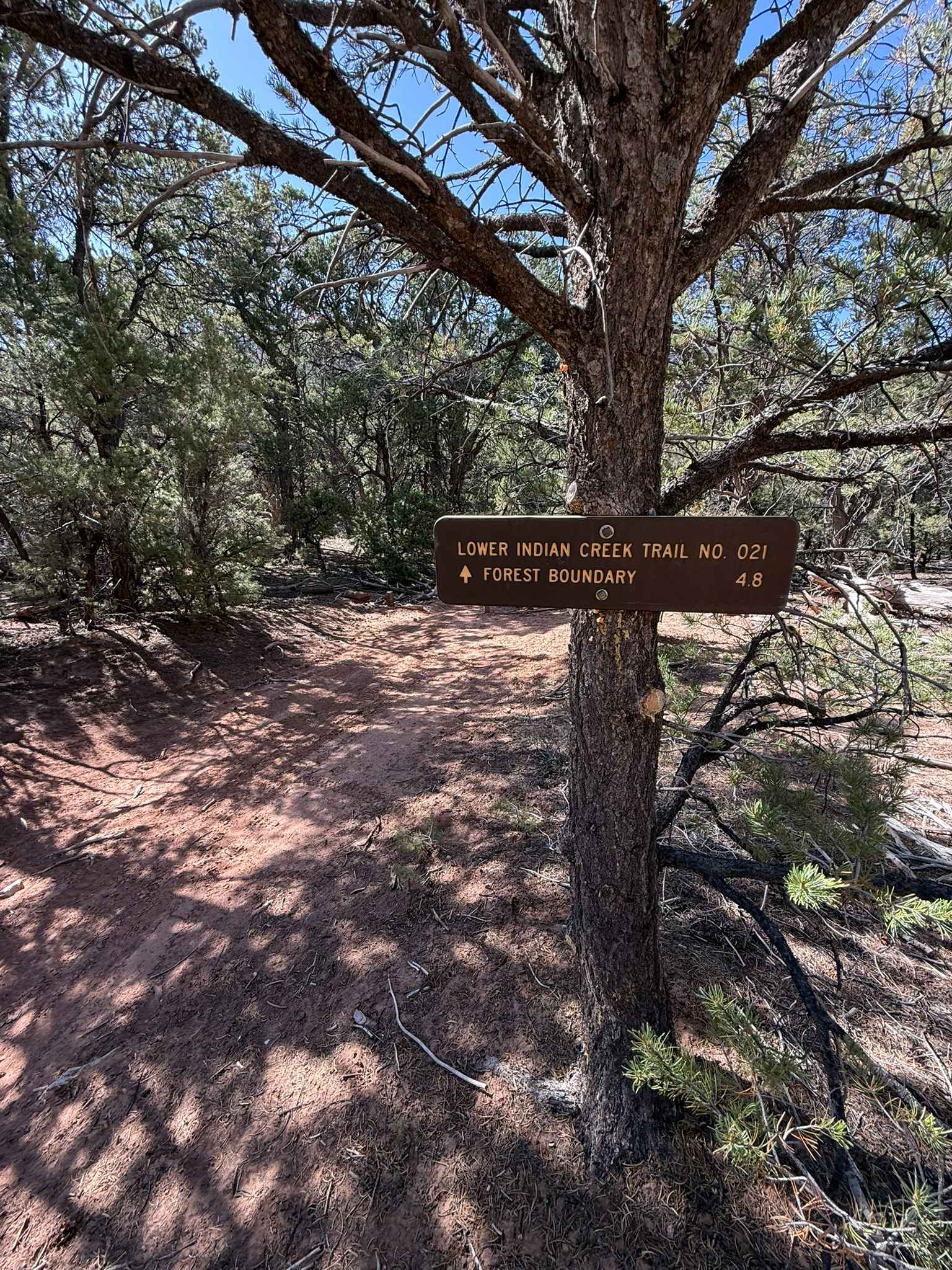
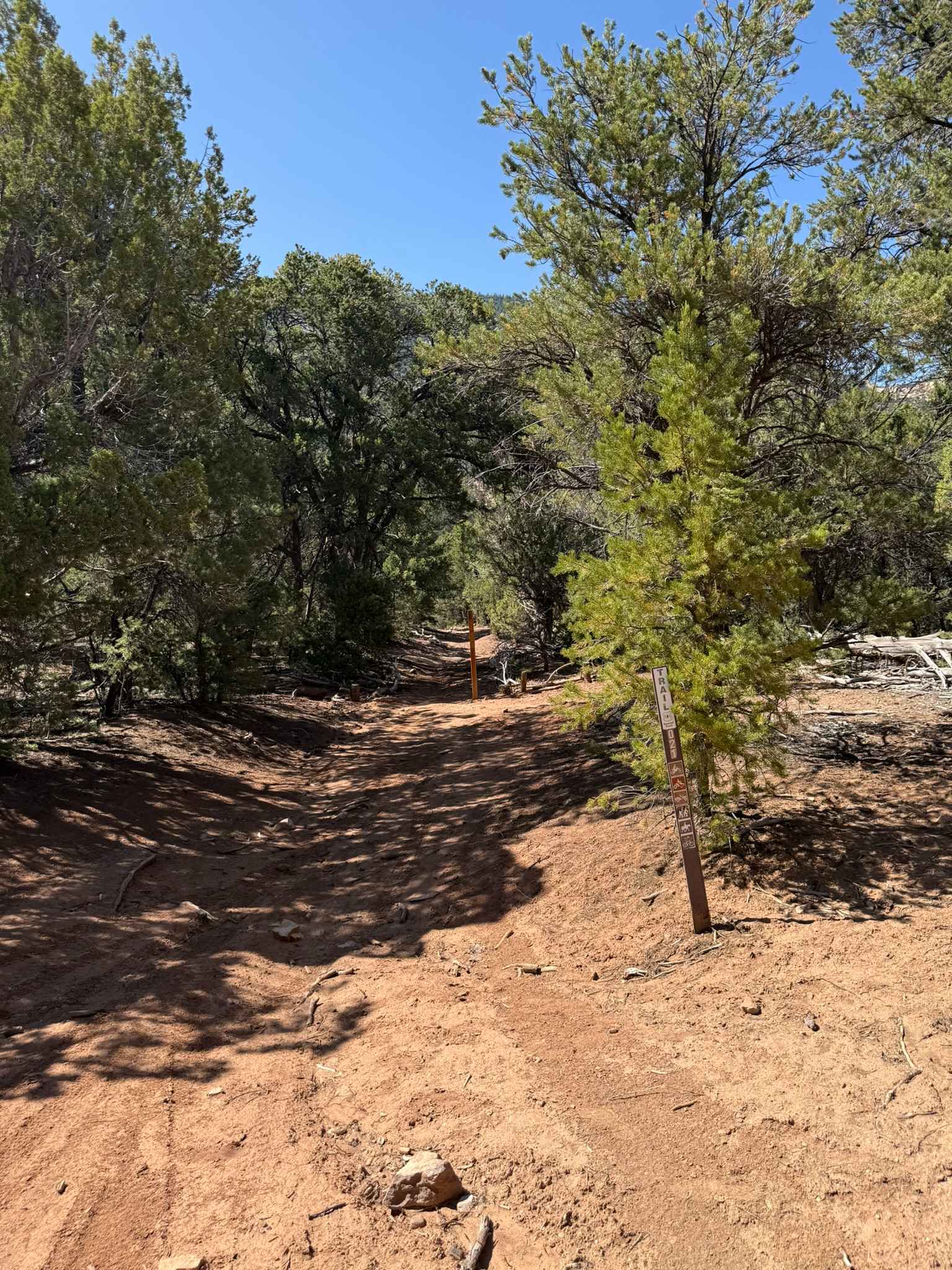
Lower Indian Creek Trail No. 021
Total Miles
6.7
Technical Rating
Best Time
Spring, Summer, Fall
Trail Type
Single Track
Accessible By
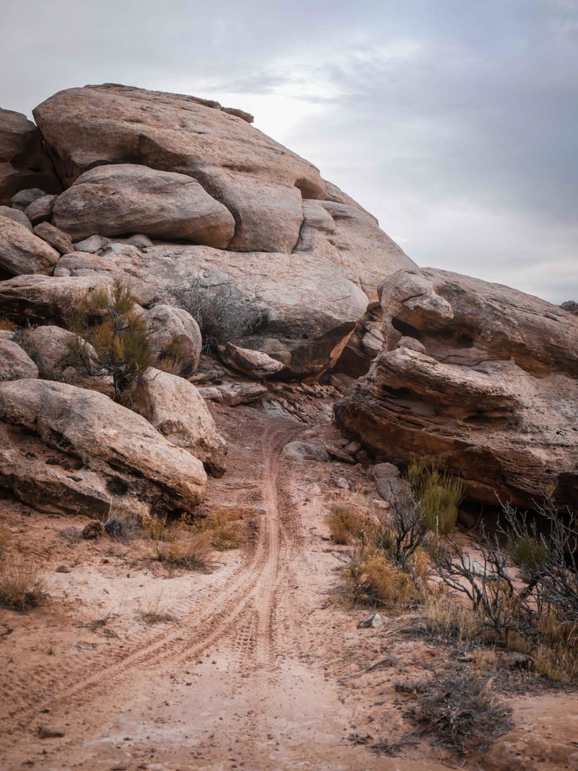
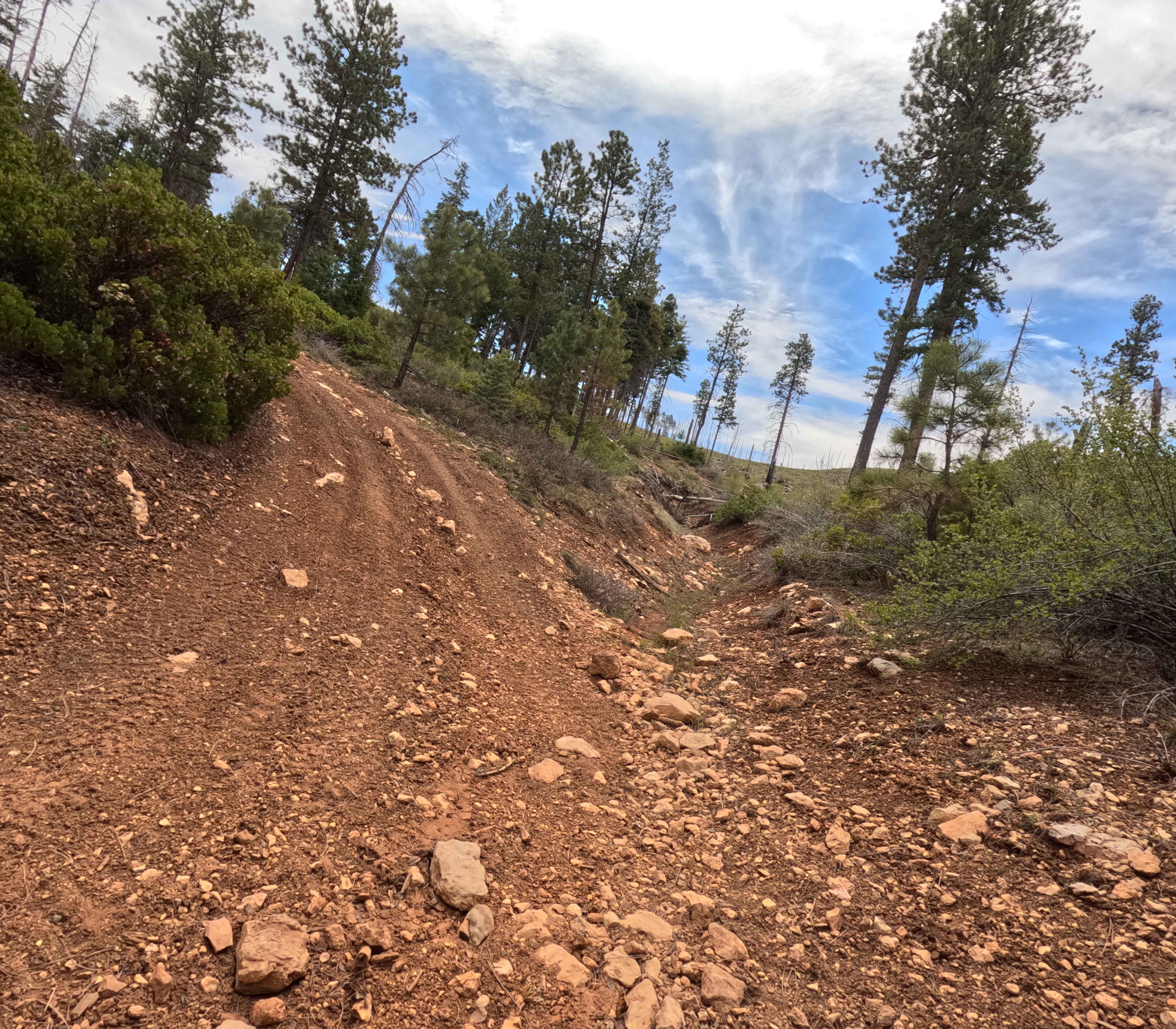
Trail Overview
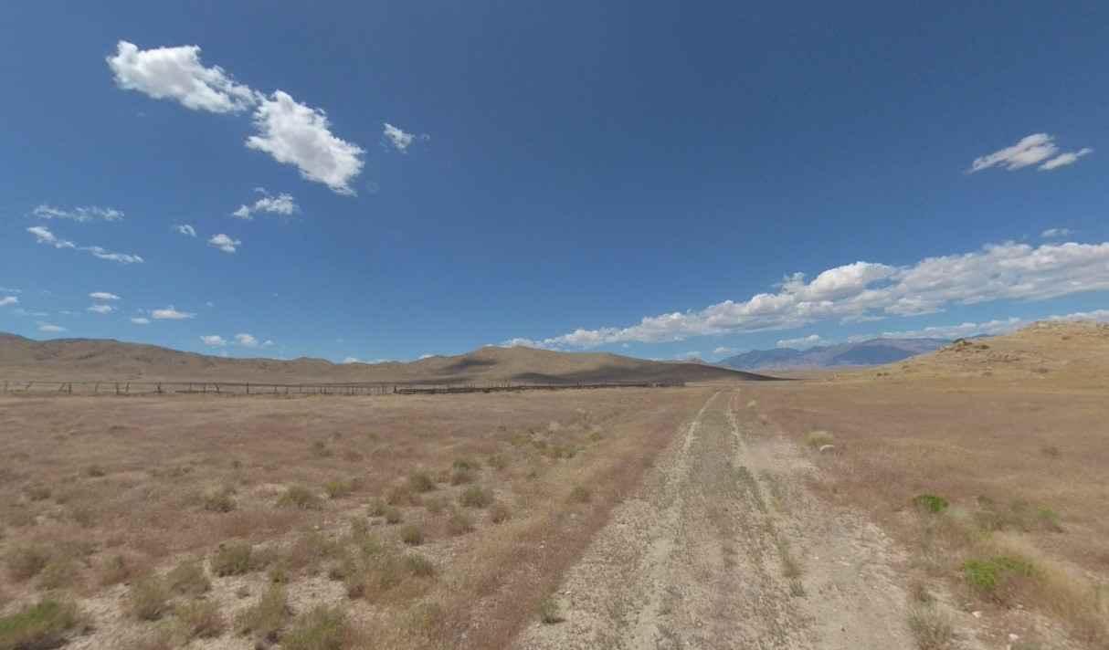
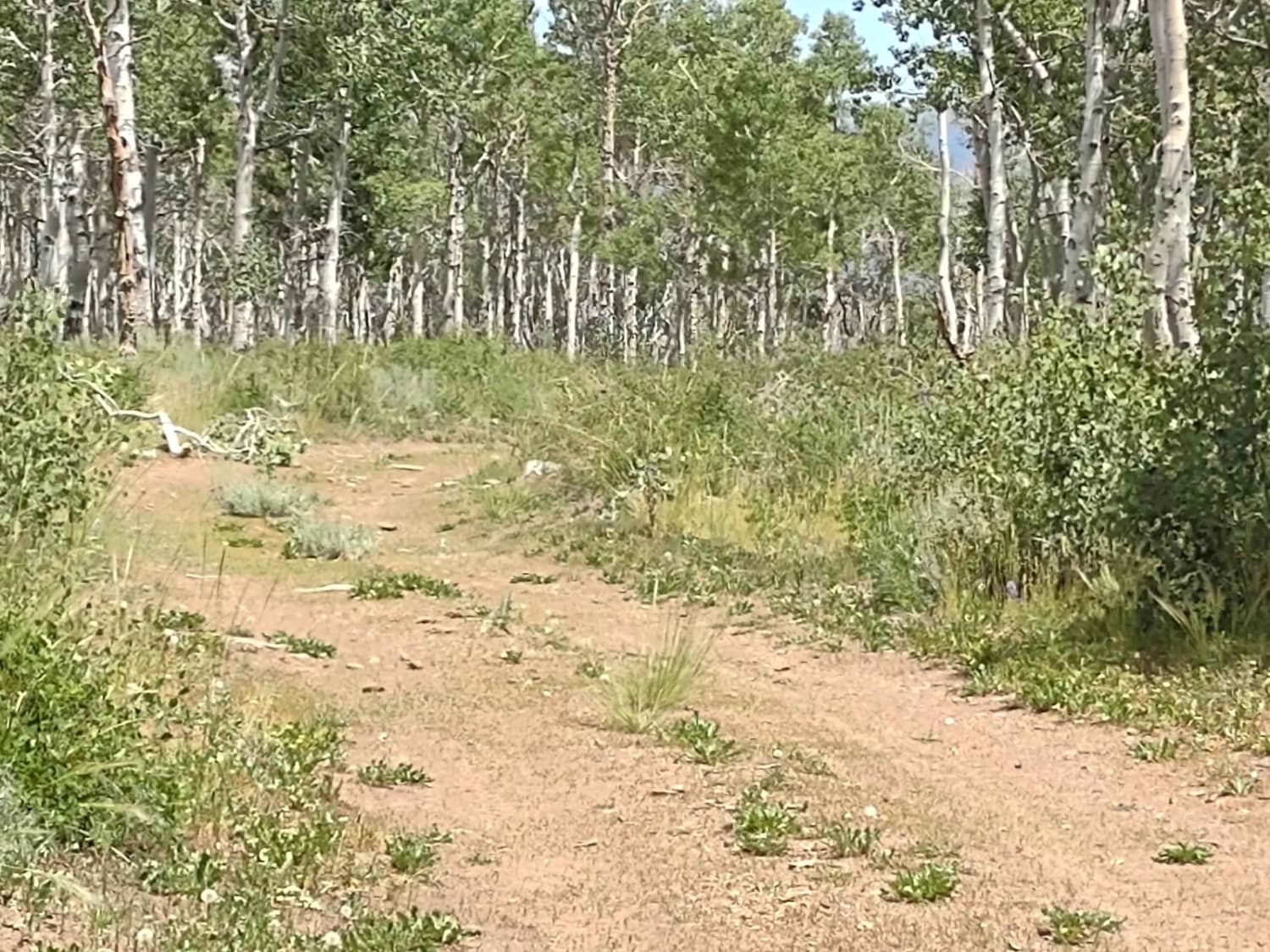
Lower Indian Creek Trail No. 021 is a 7-mile out-and-back single-track trail located within Bears Ears National Monument. The trail begins at an elevation of 7,438 feet and descends to 6,164 feet at its endpoint, just outside Canyonlands National Park along SR-211. As you traverse the trail, you'll follow Indian Creek, which is typically dry during the summer months but flows abundantly in the early season. The route is lined with stunning rock formations, offering breathtaking views that are worth looking up for. You'll encounter a variety of native flora, including Cottonwood, Pinyon Pine, Juniper, Mormon Tea, Blackbrush, Four-Wing Saltbush, Cliffrose, and Utah Juniper. The trail is fast and flowy over silty soil, with only a few rocky areas that are easily navigable, making it suitable for a wide range of riders. The trail concludes near SR-211, just a short distance from the iconic Newspaper Rock Petroglyphs. From this point, you can either retrace your steps along the trail, which is highly recommended for a second chance to enjoy the scenery, or opt to head east on SR-211 for approximately 2.4 miles to Harts Draw Road B101. This road will lead you back to CR-196 and the staging area for the Abajo Mountains (Blue Mountains). Please be respectful of private property and ensure that gates are left as you found them. This area is sensitive and closely monitored, so it's important to stay on designated trails. No bike or motorcycle use from October 1st to May 1st.
Photos of Lower Indian Creek Trail No. 021
Difficulty
The trail includes several sections with uphill and downhill rocky step-ups and step-downs along a narrow path, where there's limited room for error.
Lower Indian Creek Trail No. 021 can be accessed by the following ride types:
- Dirt Bike
Lower Indian Creek Trail No. 021 Map
Popular Trails
Ingram Hollow - FS 31129
Conger Mountain OHV Route 1
Monroe Mountain Road Spur Loop (FS 41178)
The onX Offroad Difference
onX Offroad combines trail photos, descriptions, difficulty ratings, width restrictions, seasonality, and more in a user-friendly interface. Available on all devices, with offline access and full compatibility with CarPlay and Android Auto. Discover what you’re missing today!