Off-Road Trails in Utah
Discover off-road trails in Utah
Learn more about Markagunt Plateau
Markagunt Plateau
Total Miles
10.4
Tech Rating
Easy
Best Time
Spring, Summer, Fall
Learn more about Markagunt Plateau 2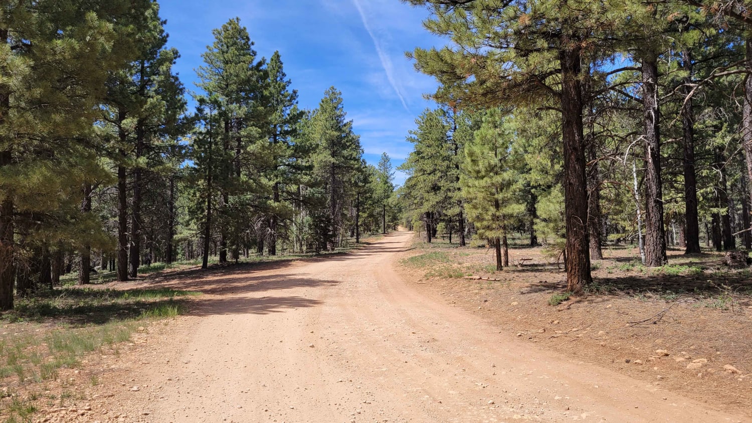
Markagunt Plateau 2
Total Miles
2.8
Tech Rating
Easy
Best Time
Summer, Fall
Learn more about Markagunt Plateau 3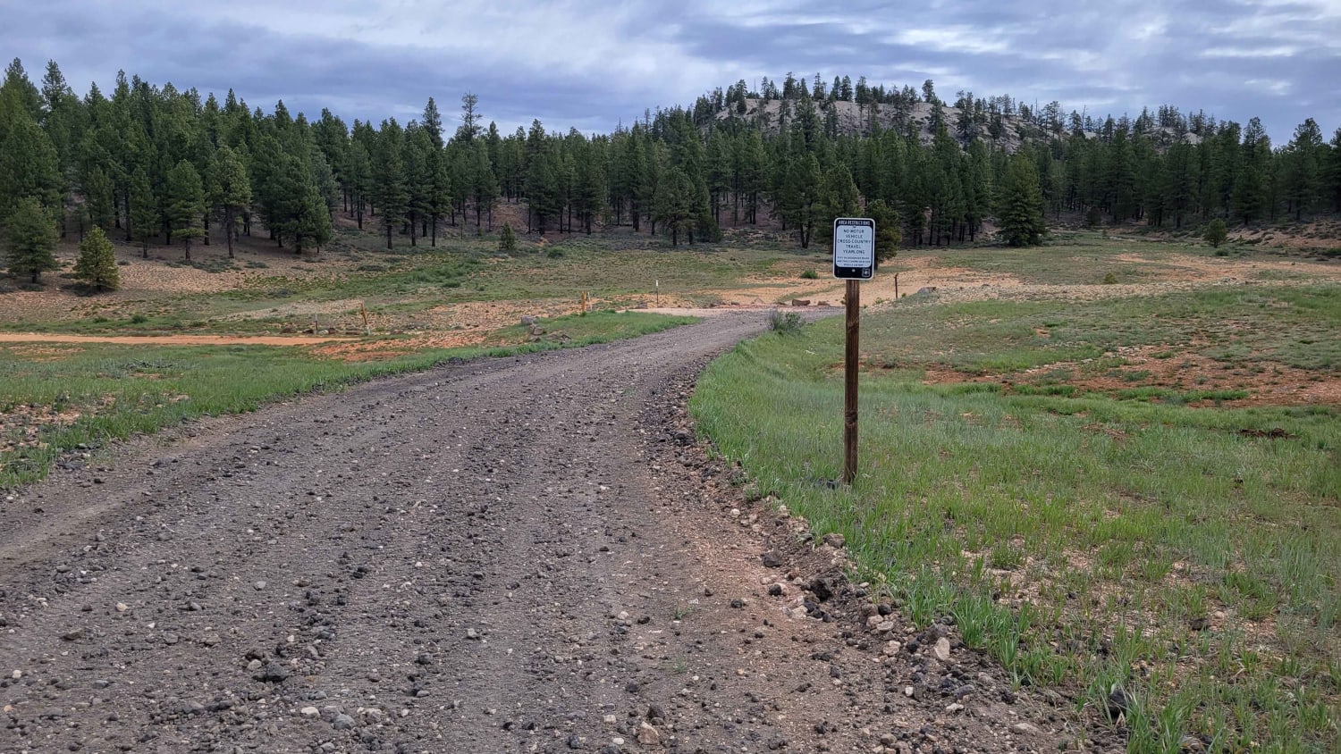
Markagunt Plateau 3
Total Miles
3.0
Tech Rating
Moderate
Best Time
Fall, Summer
Learn more about Markagunt Plateau Connector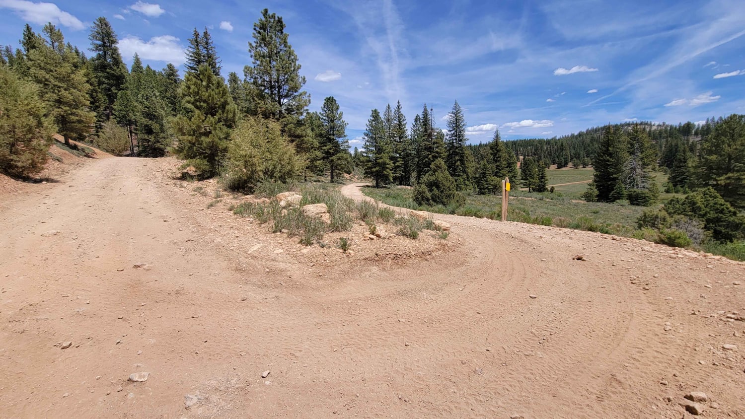
Markagunt Plateau Connector
Total Miles
0.7
Tech Rating
Easy
Best Time
Fall, Summer
Learn more about Markagunt Plateau-Clear Creek FS 30050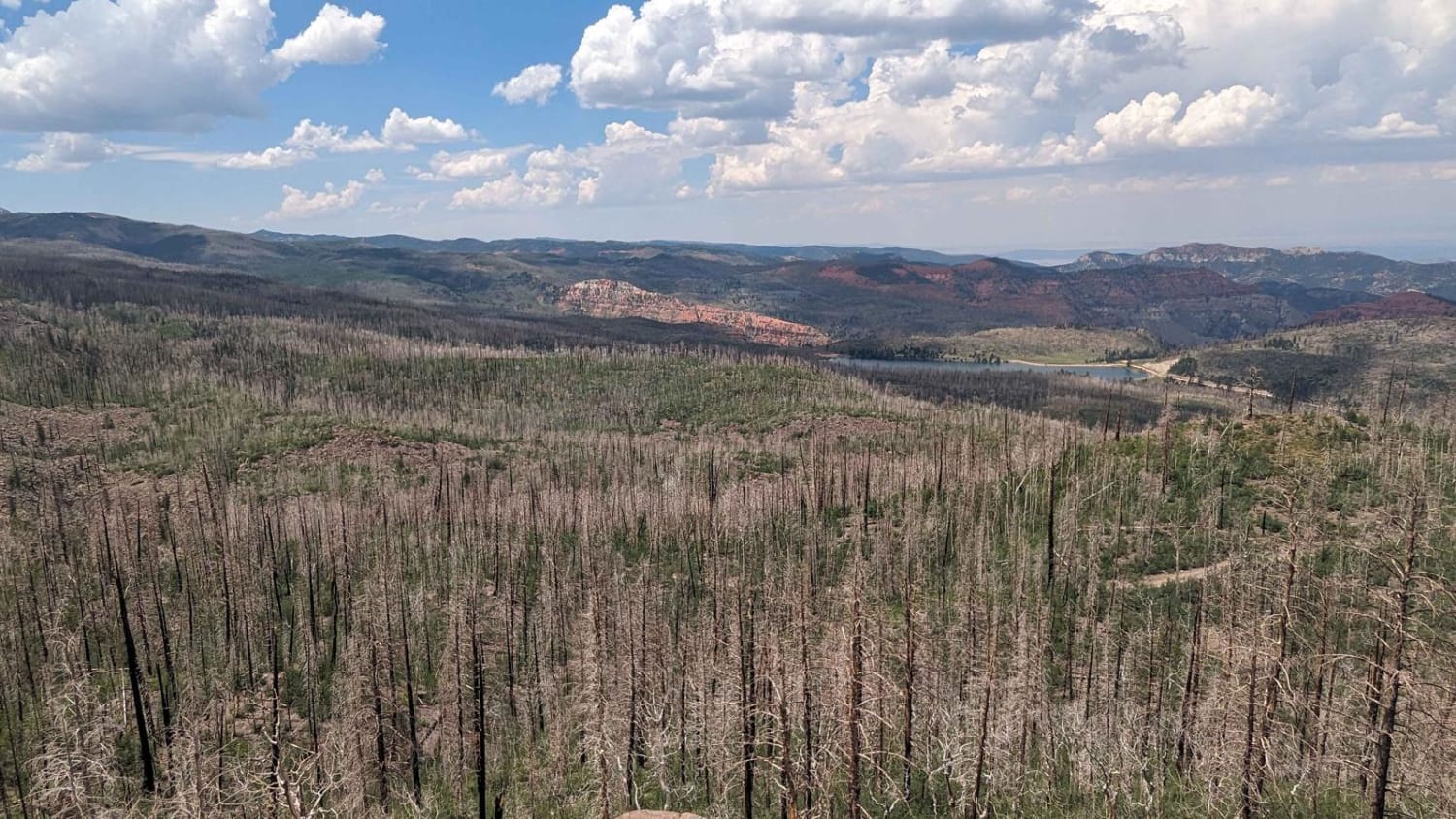
Markagunt Plateau-Clear Creek FS 30050
Total Miles
4.0
Tech Rating
Easy
Best Time
Spring, Summer, Fall
Learn more about Marshall Canyon ATV Trail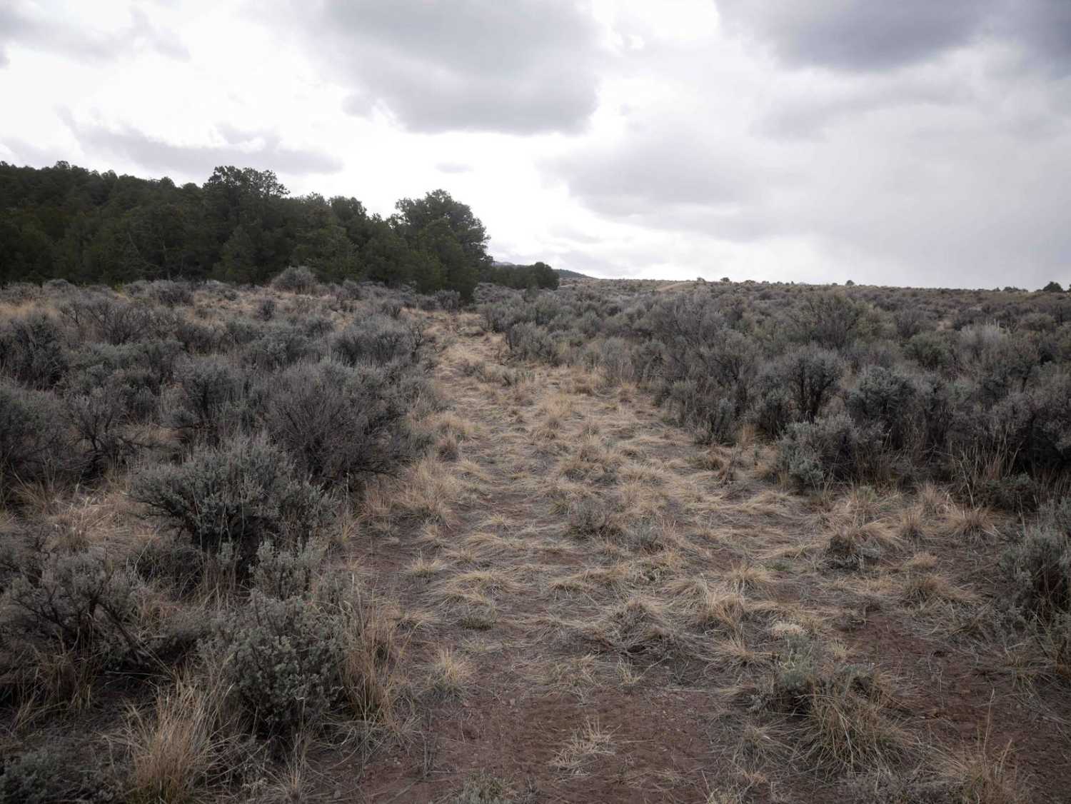
Marshall Canyon ATV Trail
Total Miles
1.5
Tech Rating
Easy
Best Time
Spring, Summer, Fall
Learn more about Marshall Lake Loop
Marshall Lake Loop
Total Miles
0.8
Tech Rating
Moderate
Best Time
Summer, Fall
Learn more about Martin Fork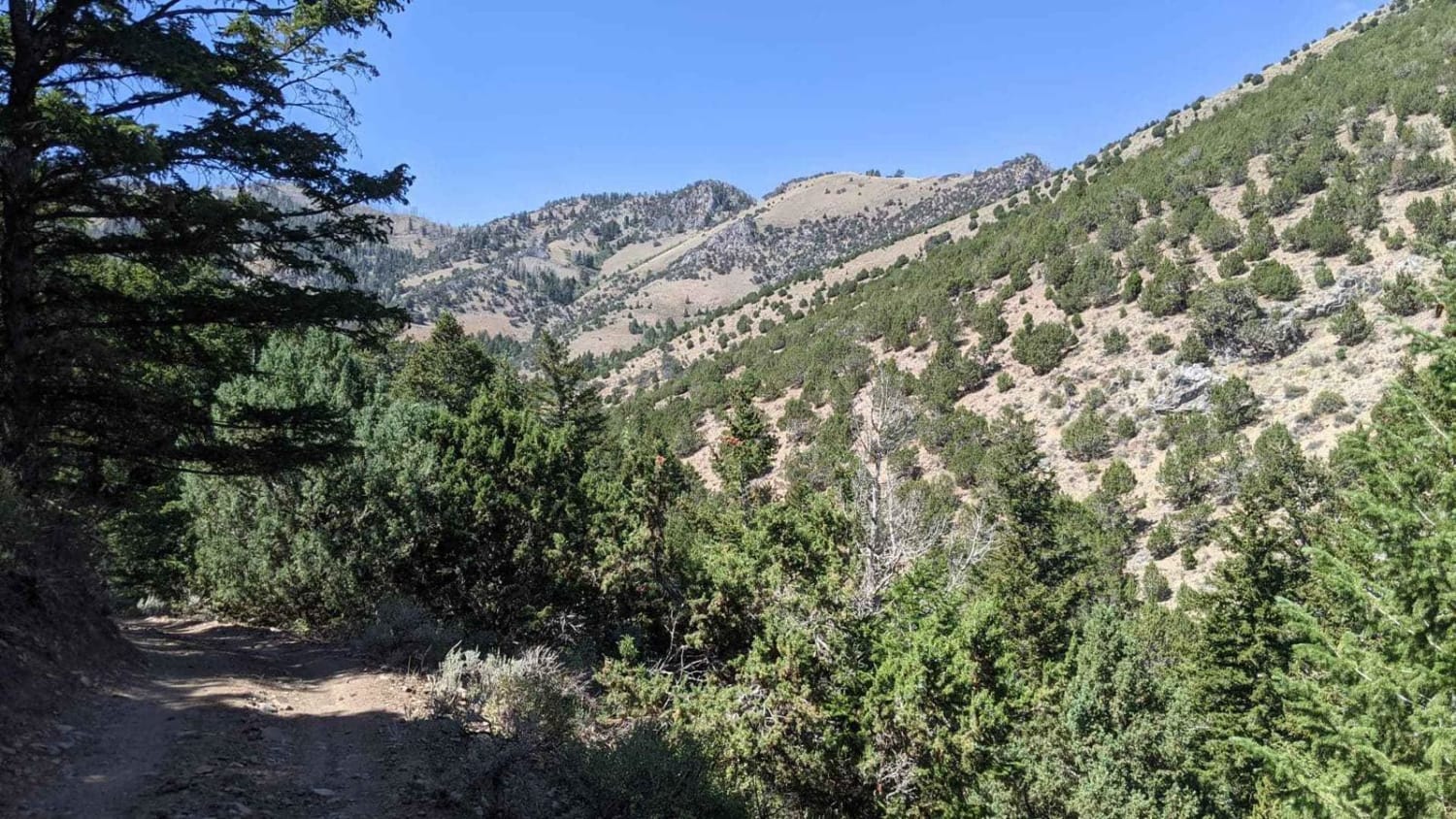
Martin Fork
Total Miles
0.5
Tech Rating
Moderate
Best Time
Spring, Summer, Fall
Learn more about Mary Ellen Gulch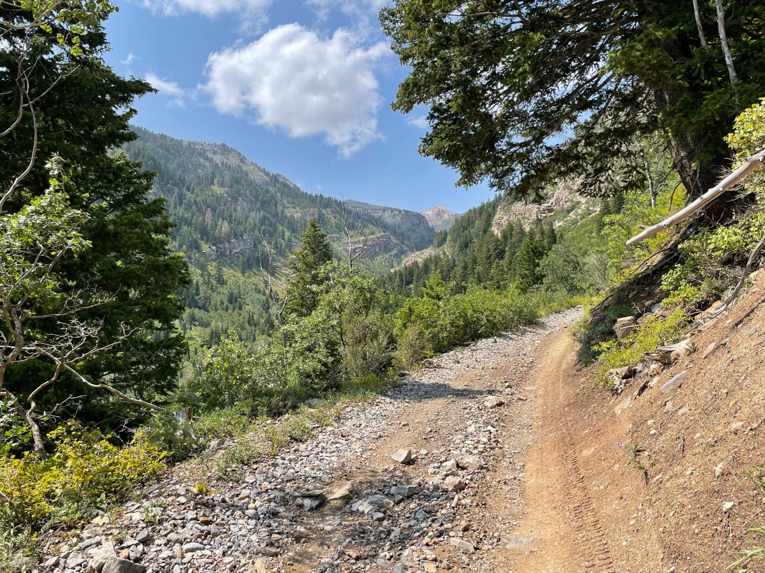
Mary Ellen Gulch
Total Miles
3.8
Tech Rating
Moderate
Best Time
Summer, Fall
Learn more about Mary's Lake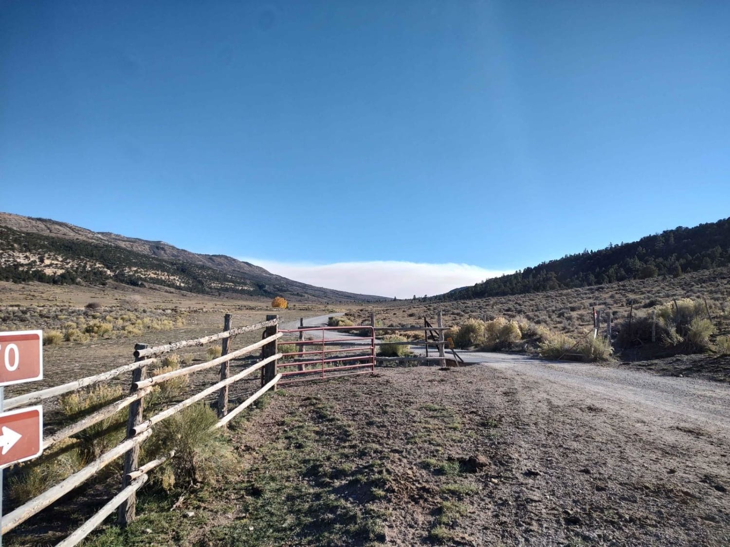
Mary's Lake
Total Miles
15.4
Tech Rating
Moderate
Best Time
Spring, Summer, Fall
Learn more about Mary's Nipple View (FS# 40617)
Mary's Nipple View (FS# 40617)
Total Miles
2.1
Tech Rating
Easy
Best Time
Summer, Fall
Learn more about Mary's Trail
Mary's Trail
Total Miles
4.6
Tech Rating
Difficult
Best Time
Spring, Fall, Winter
Learn more about Marysvale Overlook - The Nipple (BLM 6125, 6362, 5819)
Marysvale Overlook - The Nipple (BLM 6125, 6362, 5819)
Total Miles
7.4
Tech Rating
Moderate
Best Time
Spring, Summer, Fall
Learn more about Marysvale to Piute Reservoir Dam
Marysvale to Piute Reservoir Dam
Total Miles
7.7
Tech Rating
Easy
Best Time
Spring, Summer, Fall
Learn more about Mayfield-Gunnison Road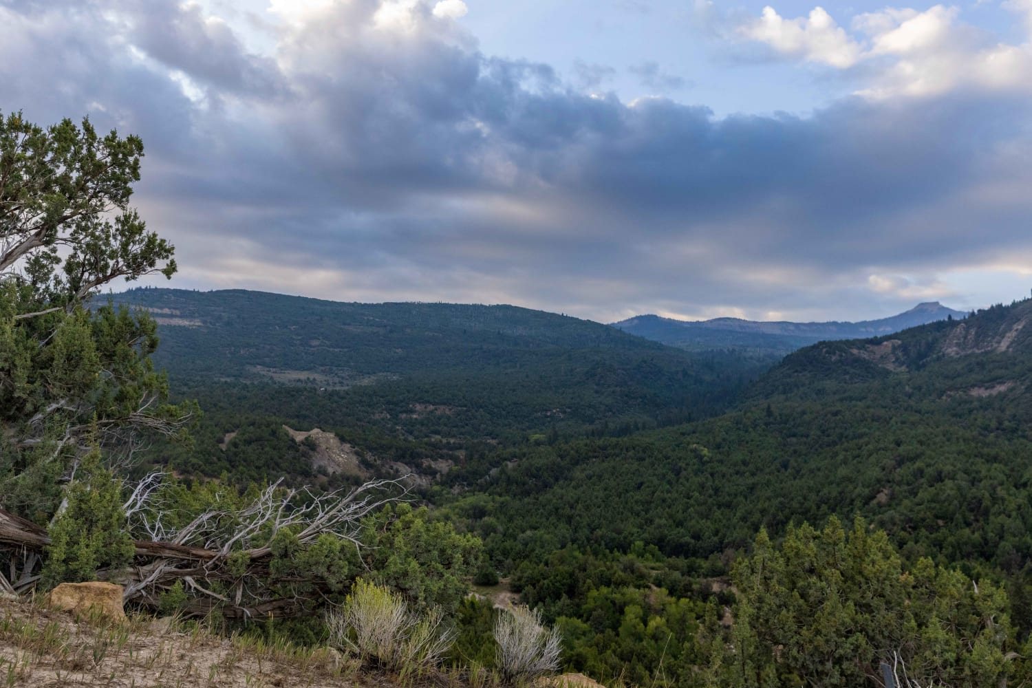
Mayfield-Gunnison Road
Total Miles
16.8
Tech Rating
Easy
Best Time
Fall, Summer, Spring
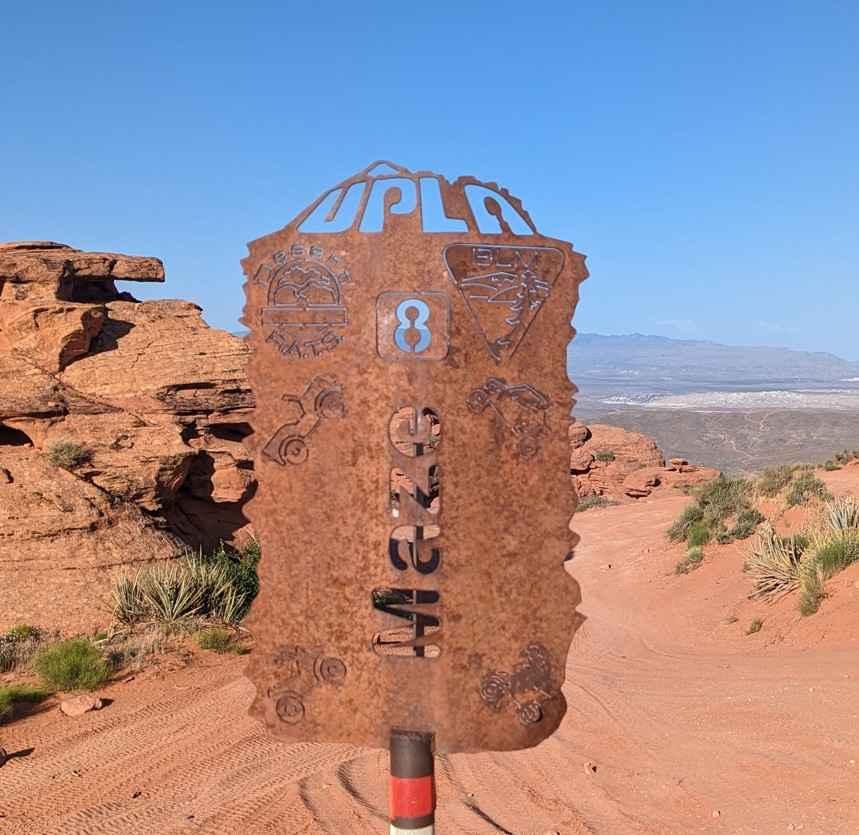
Learn more about Maze Overlook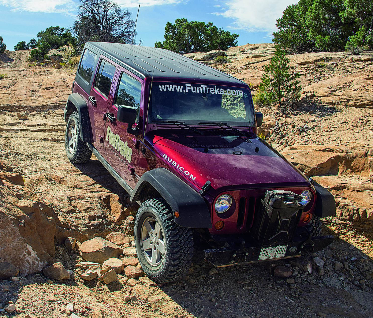
Maze Overlook
Total Miles
12.7
Tech Rating
Moderate
Best Time
Spring, Summer, Fall
Learn more about McGath Point Overlook 31431
McGath Point Overlook 31431
Total Miles
4.5
Tech Rating
Easy
Best Time
Winter, Fall, Summer, Spring
Learn more about McMIllan Springs Road
McMIllan Springs Road
Total Miles
2.4
Tech Rating
Easy
Best Time
Spring, Summer, Fall
ATV trails in Utah

Learn more about 14 Mile Road
14 Mile Road
Total Miles
14.7
Tech Rating
Easy
Best Time
Spring, Summer, Fall, Winter


UTV/side-by-side trails in Utah
Learn more about 14 Mile Road
14 Mile Road
Total Miles
14.7
Tech Rating
Easy
Best Time
Spring, Summer, Fall, Winter
The onX Offroad Difference
onX Offroad combines trail photos, descriptions, difficulty ratings, width restrictions, seasonality, and more in a user-friendly interface. Available on all devices, with offline access and full compatibility with CarPlay and Android Auto. Discover what you’re missing today!