Marysvale to Piute Reservoir Dam
Total Miles
7.7
Technical Rating
Best Time
Spring, Summer, Fall
Trail Type
Full-Width Road
Accessible By
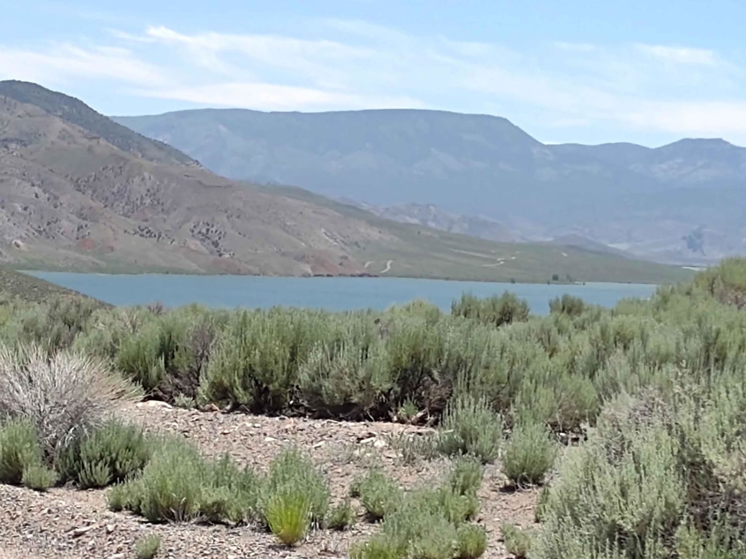
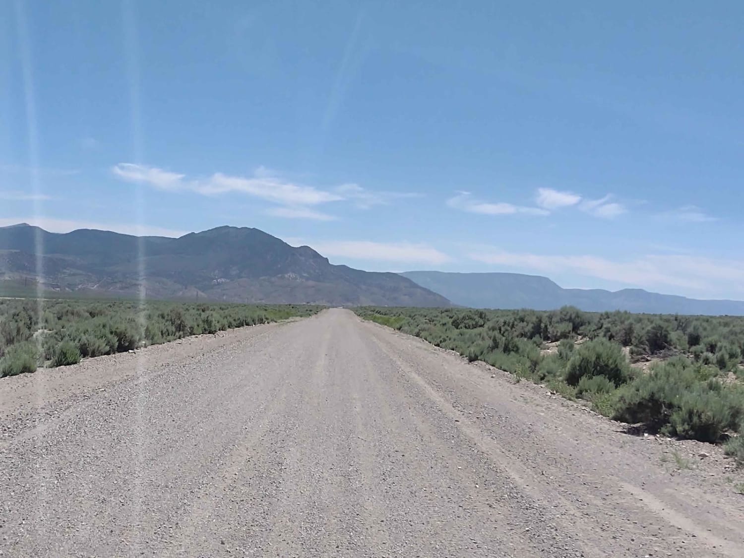
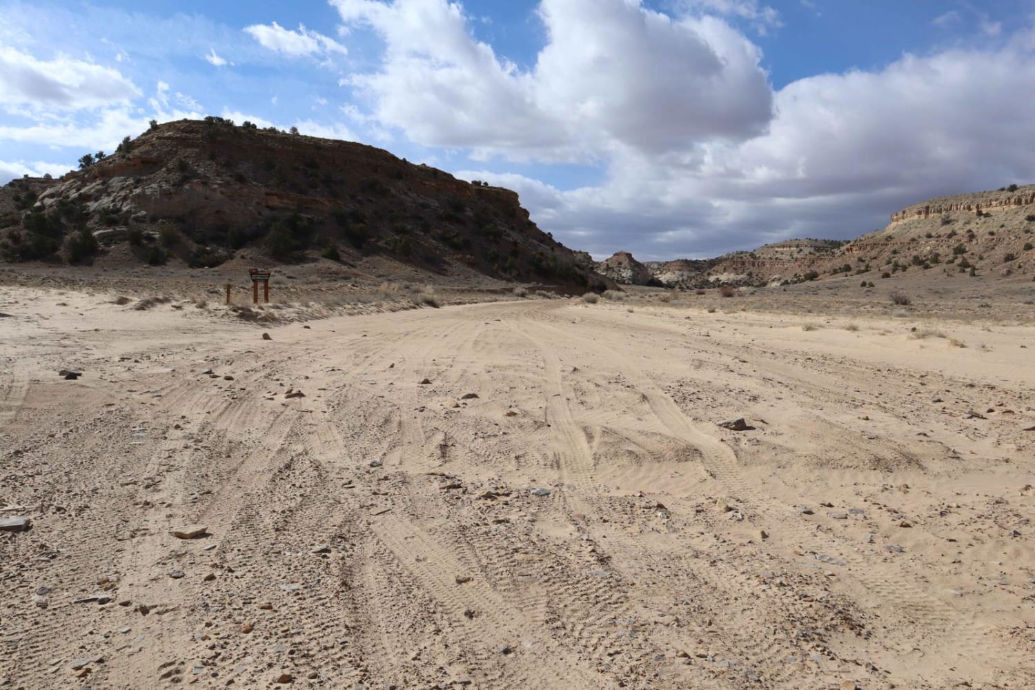
Trail Overview
Just 8 miles south of Marysvale, UT, is the Piute Reservoir and Piute State Park. This track shows the way down there on dirt. It's a dusty but good road. Part of this track runs down Old Highway 89. Once at the Piute Reservoir, you can take this road to the dam, you can take the Piute Reservoir Parking, Picnic Tables, and Restroom Trail to find those amenities, or you can ride the Sevier River Overlooks Trail or others in this vast playground. This is a good way to avoid going down the highway. If you have a fishing license, you can fish below the dam in the river or at the reservoir. Don't forget, to off-road in UT you need to have the online education course certificate as well as the OHV sticker.
Photos of Marysvale to Piute Reservoir Dam
Difficulty
This is an easy trail, with no obstacles. Watch for other traffic.
Status Reports
Marysvale to Piute Reservoir Dam can be accessed by the following ride types:
- High-Clearance 4x4
- SUV
- SxS (60")
- ATV (50")
- Dirt Bike
Marysvale to Piute Reservoir Dam Map
Popular Trails
Long Hollow ATV
Hill and Dale - FSR 30268
Bellevue Flats
The onX Offroad Difference
onX Offroad combines trail photos, descriptions, difficulty ratings, width restrictions, seasonality, and more in a user-friendly interface. Available on all devices, with offline access and full compatibility with CarPlay and Android Auto. Discover what you’re missing today!