Trail Overview
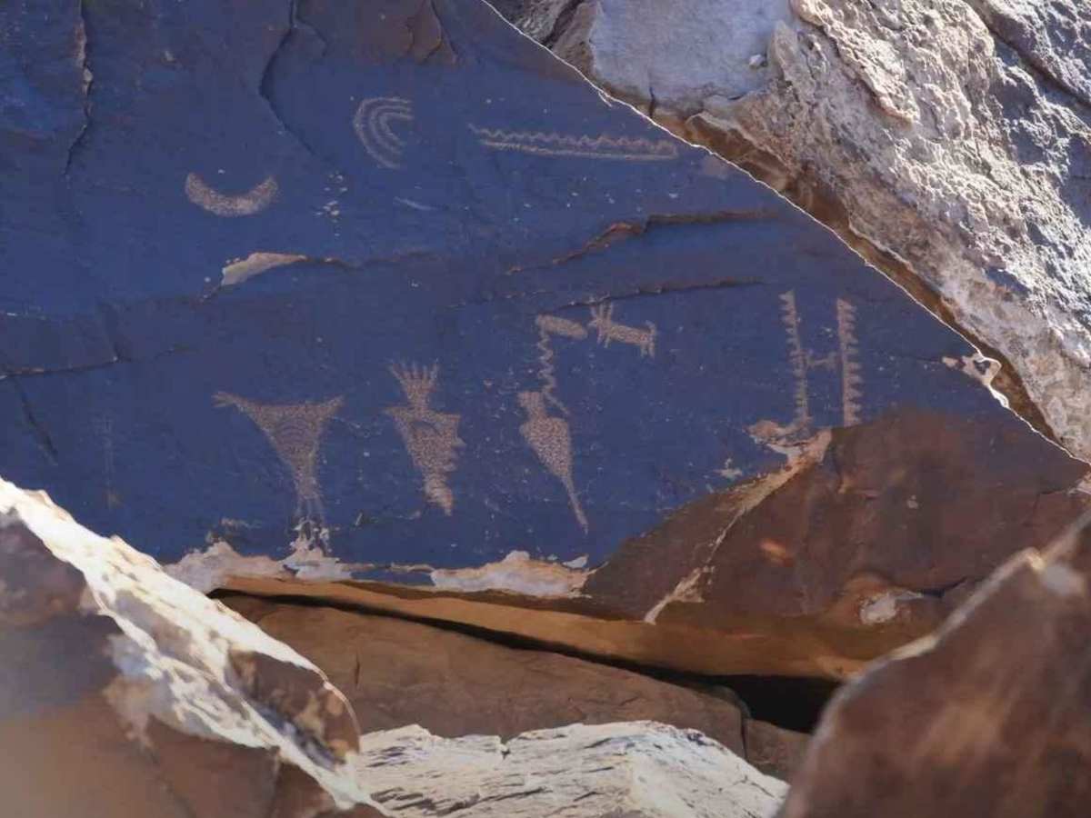
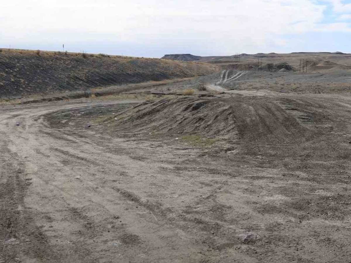
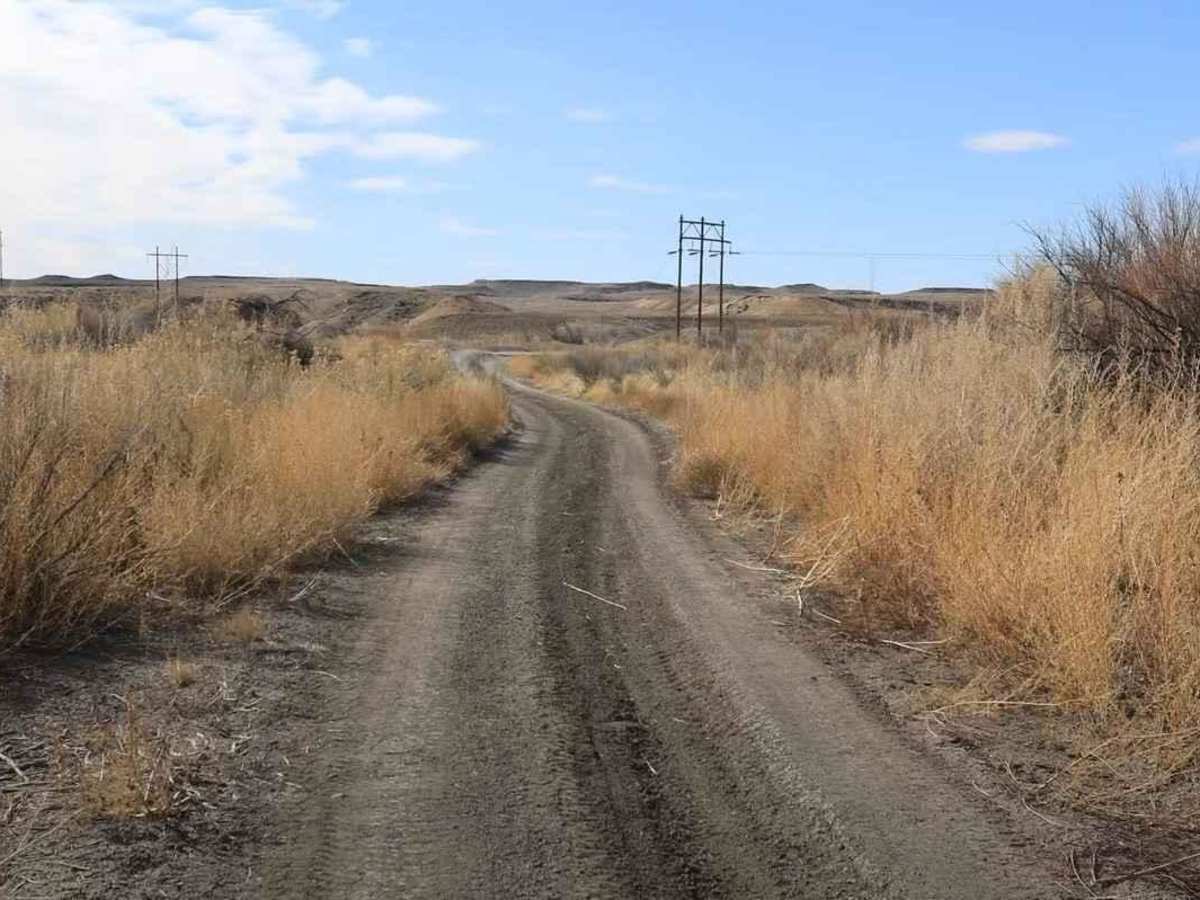
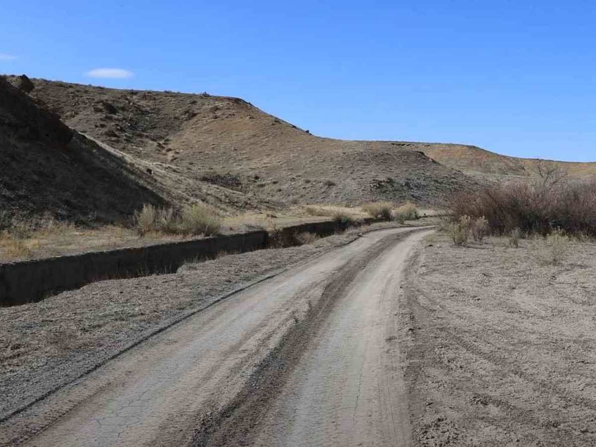
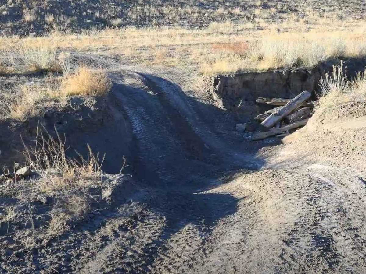
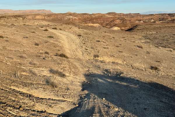
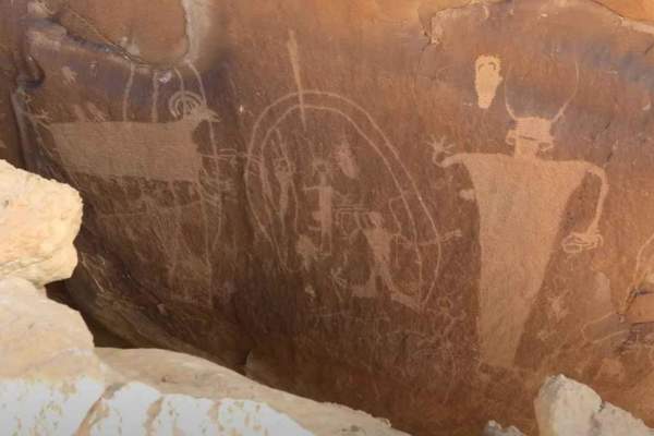
Green River Rim Trail is a 4.2-mile point-to-point, 3 of 10 rated trail located in Emery County. This destination trail offers sweeping views of the Green River as well as the chance to stop and see some ancient native rock art. The trail can be run in either direction, but is most easily accessed from Airport Road just west of the Interstate 70 overpass. The area around Green River is host to several ancient rock art sites that include both pictographs (rock paintings) and petroglyphs (rock chipped art). The rock art sites along this trail are located about 2.2 miles from the Airport Road trailhead and are found below the rim overlooking the Green River. Visiting the rock art sites will require some rock scrambling to get down and then back up to the area where vehicles can be parked. The direct approach is not necessarily the best as there are several large boulders to negotiate. Search along the rim to find an approach that works best. The rock art sites are located at: Petroglyphs (38.95611, 110.15367) and (38.95558, 110.15213). Beyond this point, the trail degrades just a little bit as it winds through a sandy and in some places rocky wash for about 2 miles before ending at Augar Road. Following Augar Road north will lead back out to Airport Road. Cell phone service is intermittent the further away from Green River. The nearest services are located in Green River.
Difficulty
Trail consisting of loose rocks, dirt, and sand with some slickrock surfaces, mud holes possible, no steps higher than 12 inches. 4WD may be required; aggressive tires are a plus.