Trail Overview
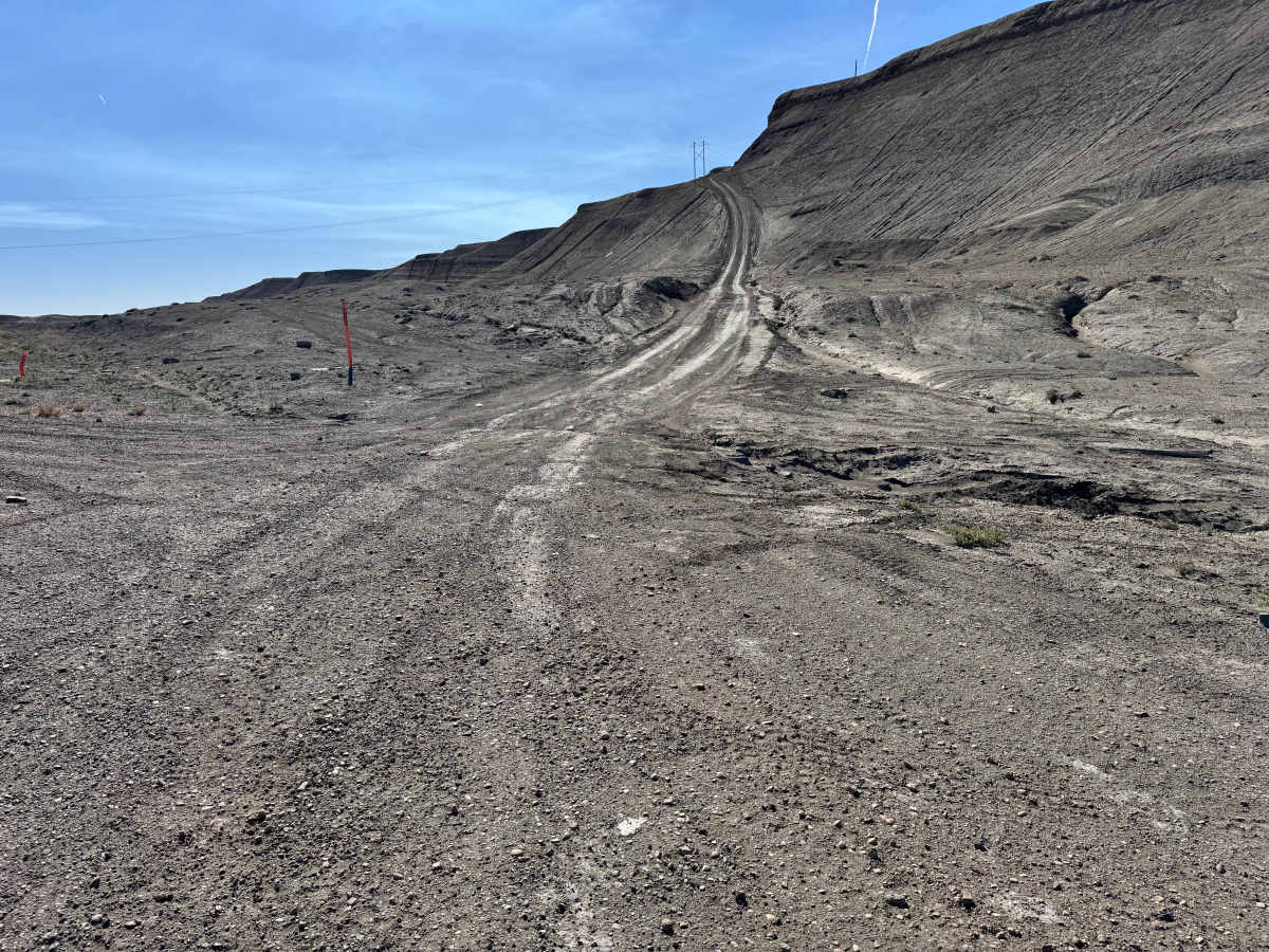
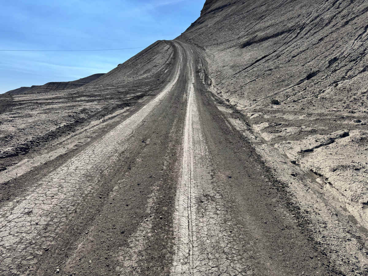
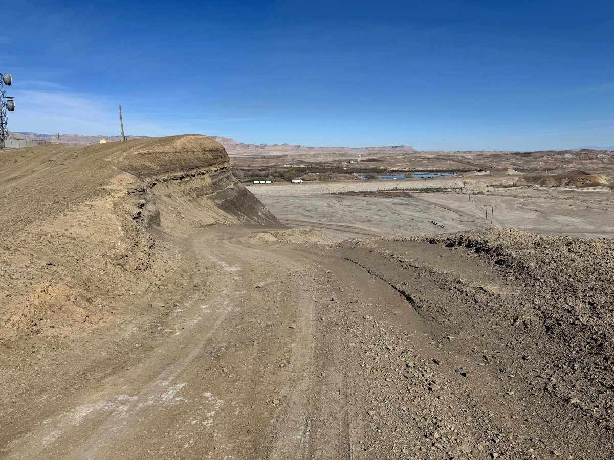
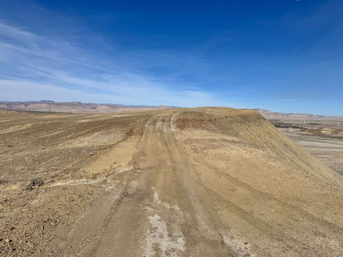
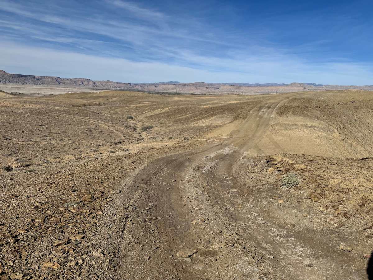
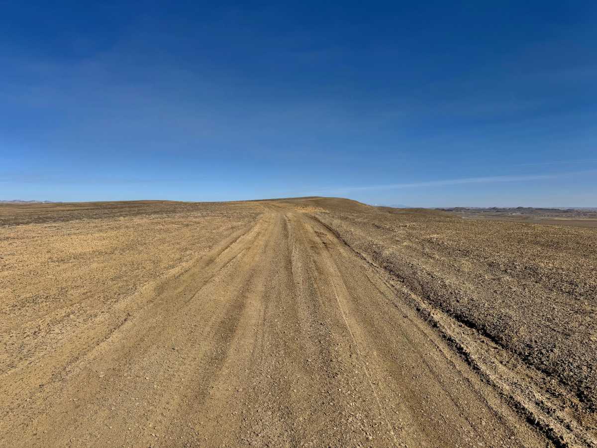
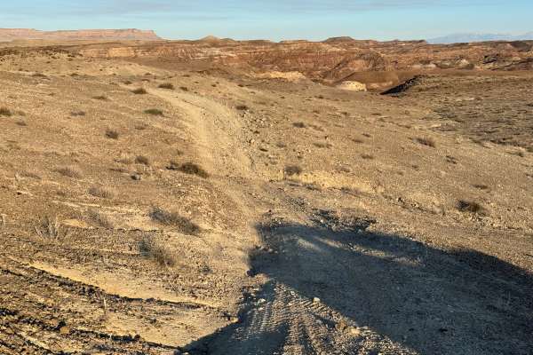
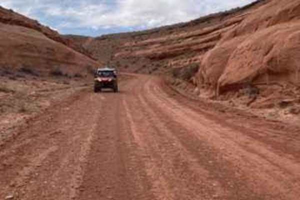
This route is a fairly mild desert drive that offers big scenery without demanding obstacles. Most of the trail consists of easy dirt roads and rolling terrain suitable for high-clearance 4x4s, with only a few mildly washed-out sections that require basic tire placement and attention. These spots are not severe, but they can become rougher after storms or heavy traffic. The most notable challenge is at one end of the route, where a very steep grade climbs to the top of the route. In dry conditions, it is manageable with proper momentum, traction, and a good 4Lo range, but when wet, the loose surface could quickly become slick and far more difficult. Once on top, the trail opens into a relaxed cruise across wide open ground with panoramic views in every direction. Expect sweeping vistas of the red rock country outside the San Rafael Swell, long sightlines toward Moab, and a broad look over the Green River area. It’s an excellent route for travelers wanting scenery and a light adventure rather than a technical rock-crawling experience.
Difficulty
This is a mostly mild scenic route with easy dirt roads, minor washouts, and no major obstacles. The main challenge is the steep grade at one end, which is manageable when dry but can become slick and more difficult when wet.
History
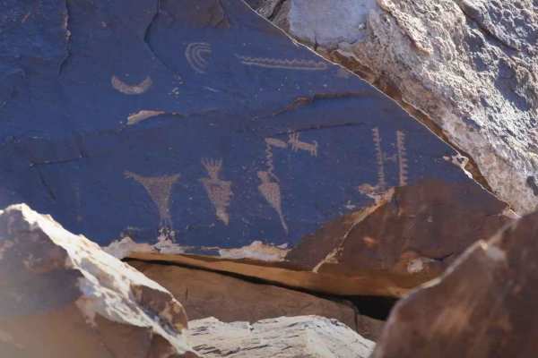
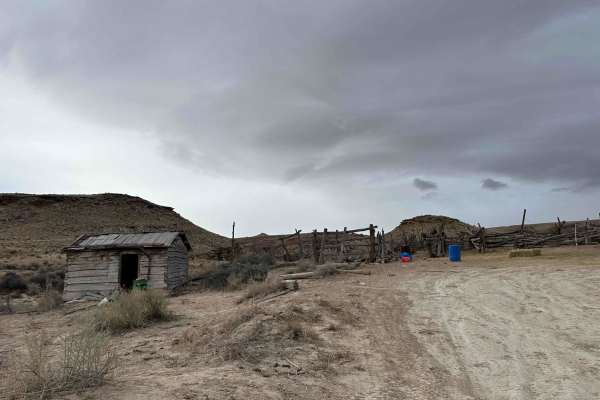
The roads in this area are a mix of utility access routes and long-used desert travel corridors serving communication towers, water infrastructure, and local recreation. Today, the hills south of Green River are popular with off-road riders and travelers looking for wide-open desert views.