14 Mile Road
Total Miles
14.7
Technical Rating
Best Time
Spring, Summer, Fall, Winter
Trail Type
Full-Width Road
Accessible By
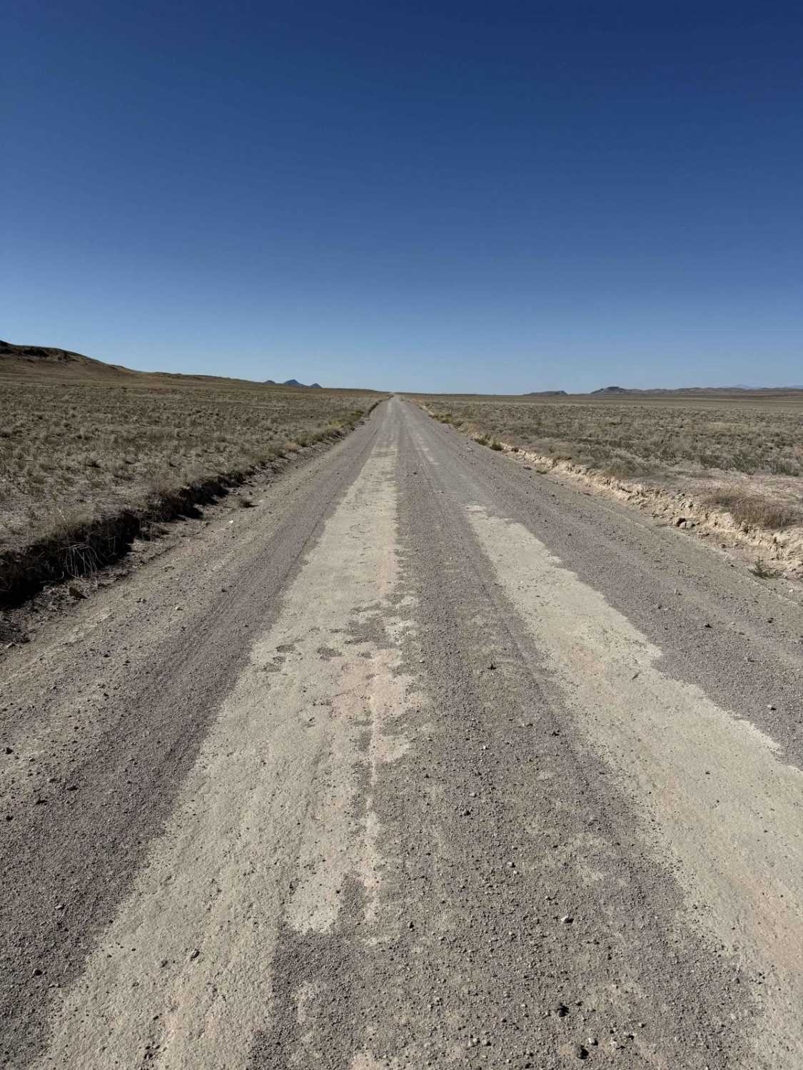
Trail Overview
This road, as you may guess from the name of the road, runs 14 miles between the Pony Express Route and Weiss Highway along the east side of the Thomas Mountain range. It is fairly flat and well-maintained in most conditions. It provides views of the Thomas Mountains and the desert to the north. It also connects two rockhounding areas, Dugway Geode Beds and Topaz Mountain.
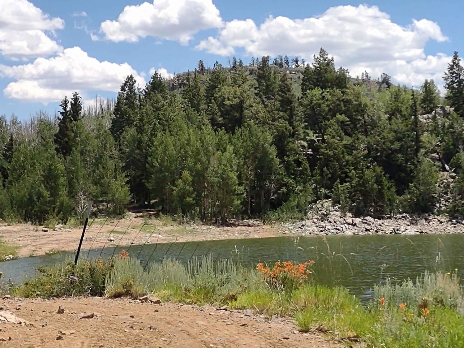
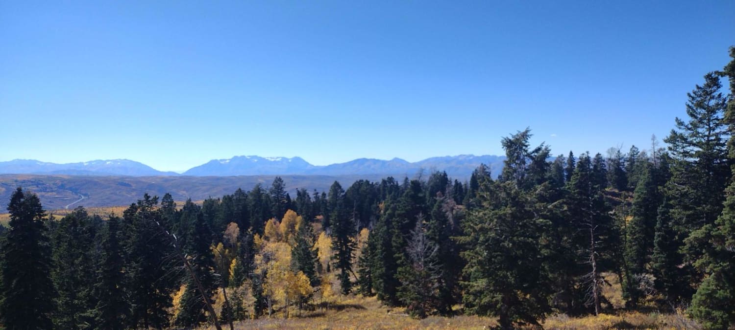
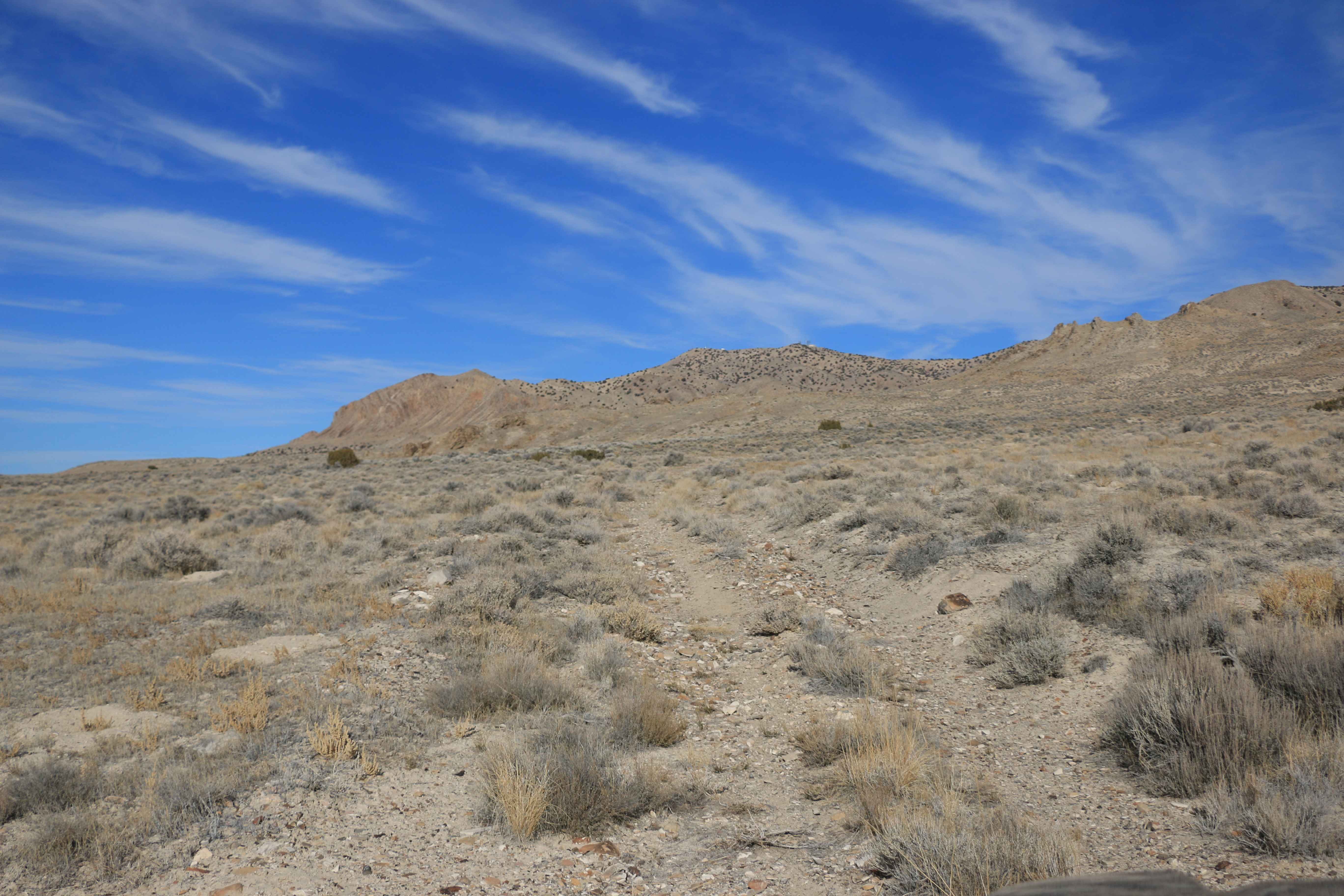
Photos of 14 Mile Road

Difficulty
Well maintained in normal weather conditions, with no obstacles. One to two vehicles wide. Some of the trail has larger gravel rocks, and the rest of the trail is mostly dirt.
Status Reports
14 Mile Road can be accessed by the following ride types:
- High-Clearance 4x4
- SUV
- SxS (60")
- ATV (50")
- Dirt Bike
14 Mile Road Map
Popular Trails
Upper Box Creek Reservoir Dam

Cliffside Trail to Little Creek Mesa
FS 80200 Cedar Hollow North 1
The onX Offroad Difference
onX Offroad combines trail photos, descriptions, difficulty ratings, width restrictions, seasonality, and more in a user-friendly interface. Available on all devices, with offline access and full compatibility with CarPlay and Android Auto. Discover what you’re missing today!