Upper Box Creek Reservoir Dam
Total Miles
0.6
Technical Rating
Best Time
Spring, Summer, Fall
Trail Type
High-Clearance 4x4 Trail
Accessible By
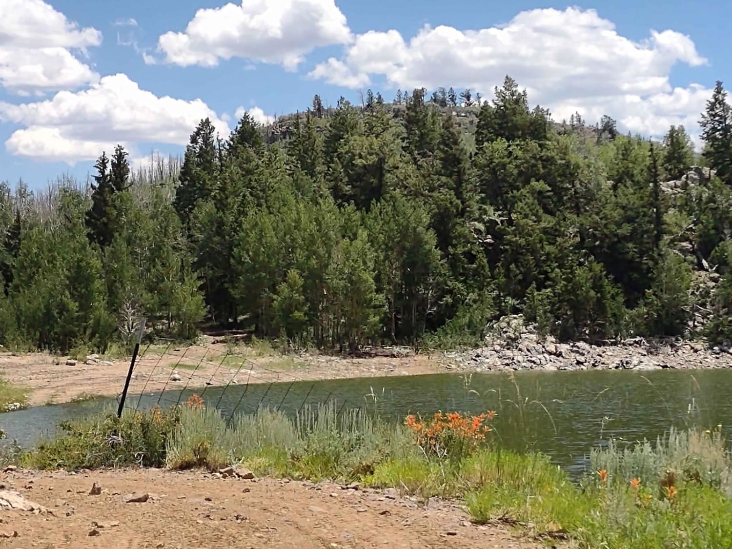
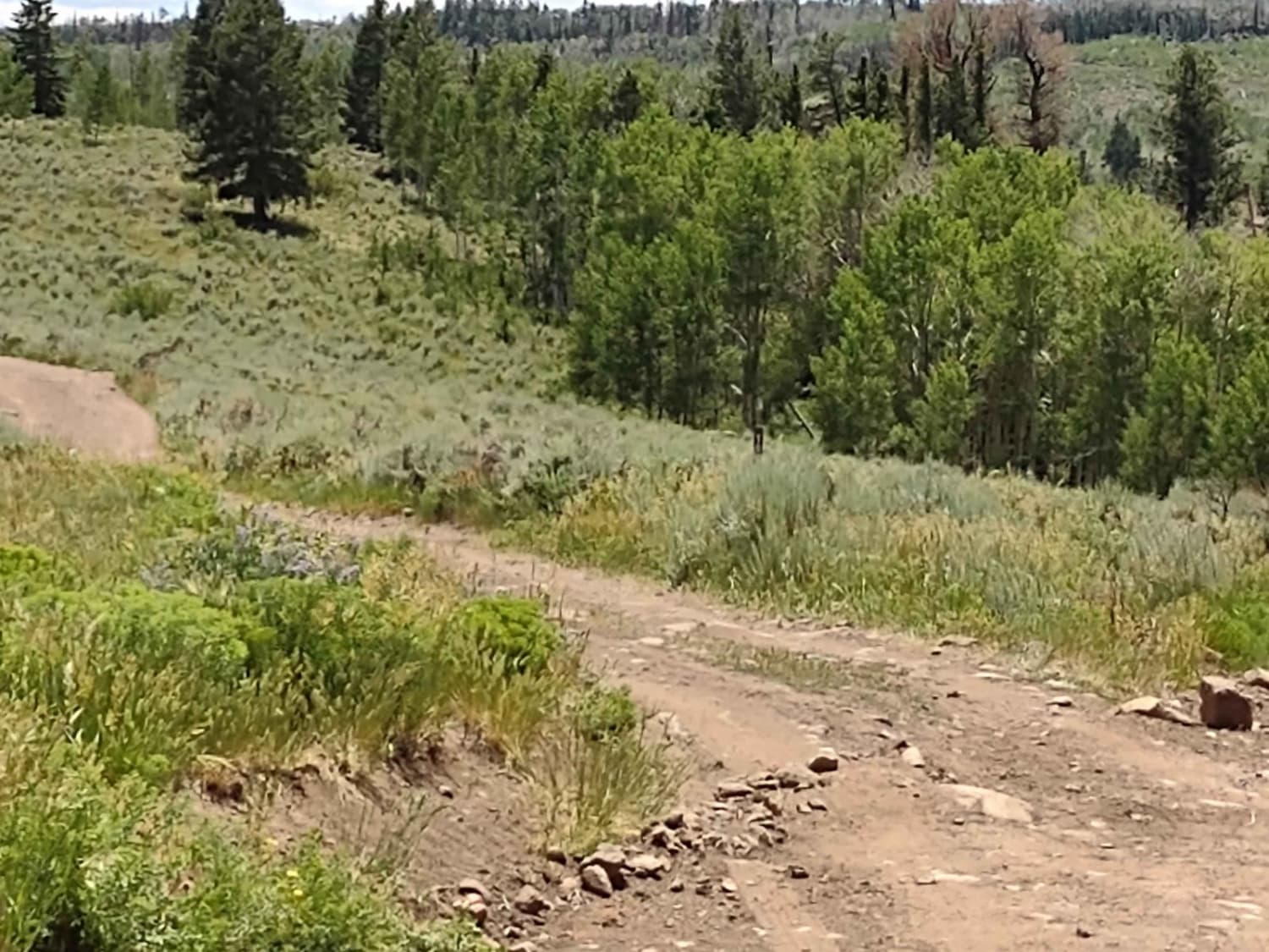
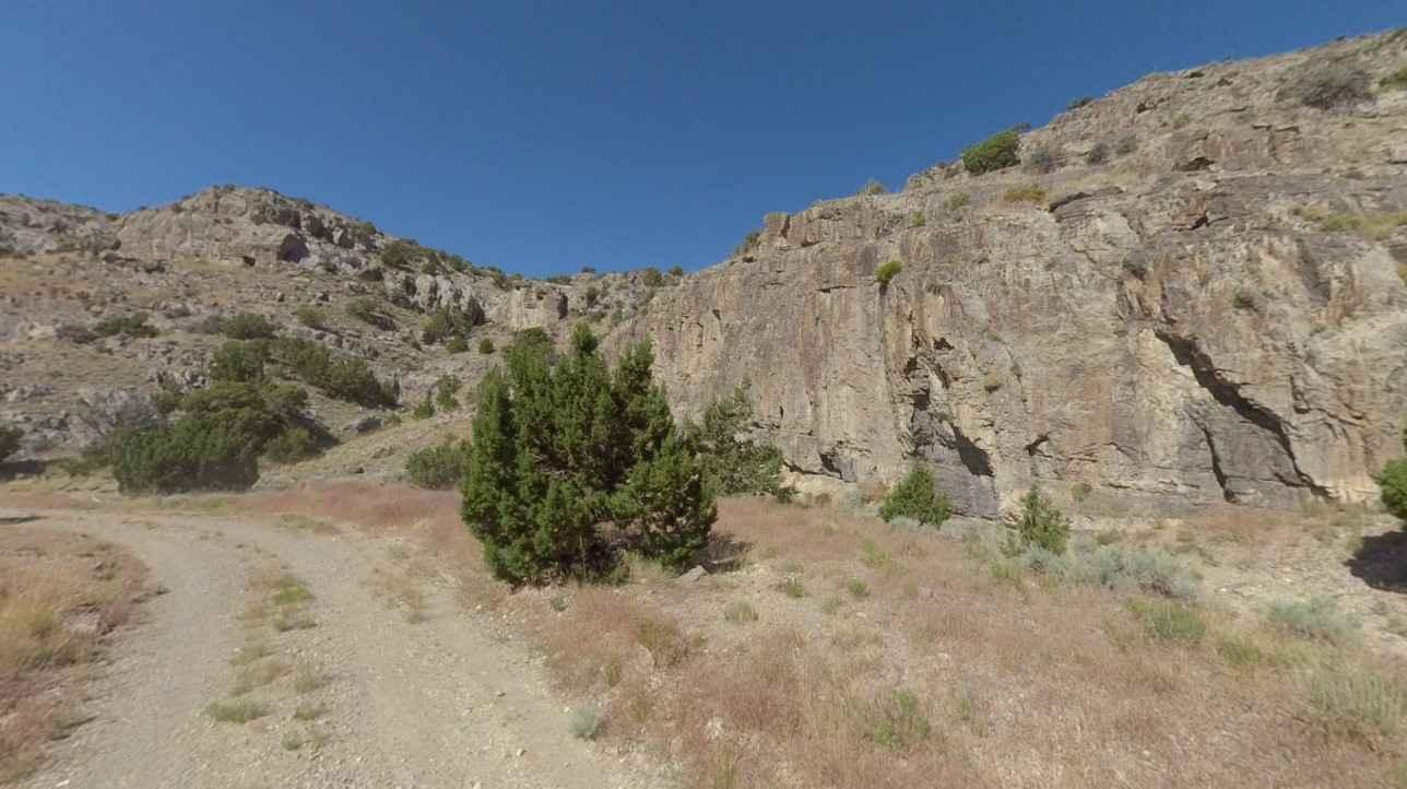
Trail Overview
This trail is the access road to the Upper Box Creek Reservoir Dam. The map shows (at least for now) that you can ride across the dam and around the end of the reservoir, but you cannot. At any rate, if you want to fish from the dam, this is your access point. There is a steep, rocky hill going down to the reservoir, but otherwise, it's an easy trail.
Photos of Upper Box Creek Reservoir Dam
Difficulty
This is a very steep, very rocky hill, but otherwise it's easy.
Status Reports
Upper Box Creek Reservoir Dam can be accessed by the following ride types:
- High-Clearance 4x4
- SxS (60")
- ATV (50")
Upper Box Creek Reservoir Dam Map
Popular Trails

Deer Valley Loop

Chicken Corners
Conger Mountain OHV Route 6

Dixie National Forest-FR30875
The onX Offroad Difference
onX Offroad combines trail photos, descriptions, difficulty ratings, width restrictions, seasonality, and more in a user-friendly interface. Available on all devices, with offline access and full compatibility with CarPlay and Android Auto. Discover what you’re missing today!