Trail Overview
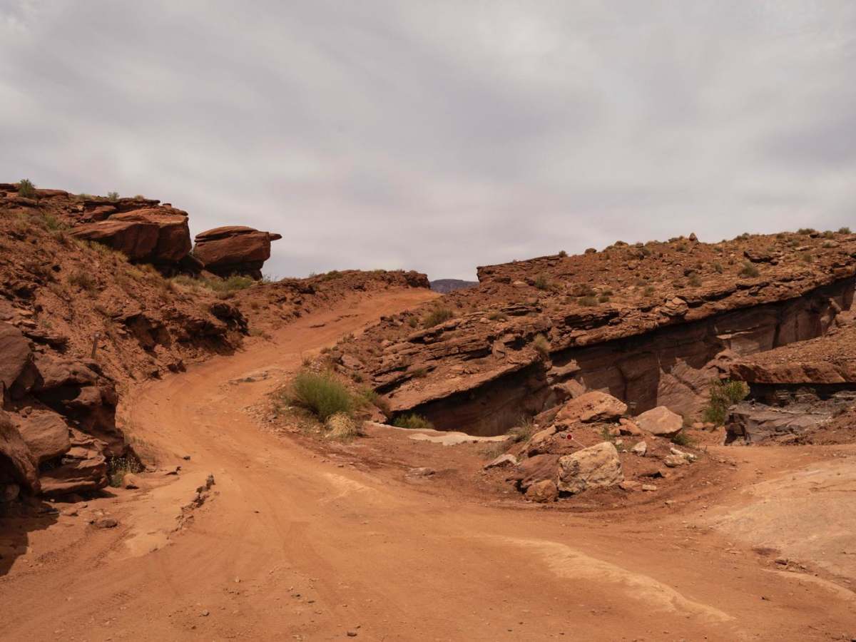
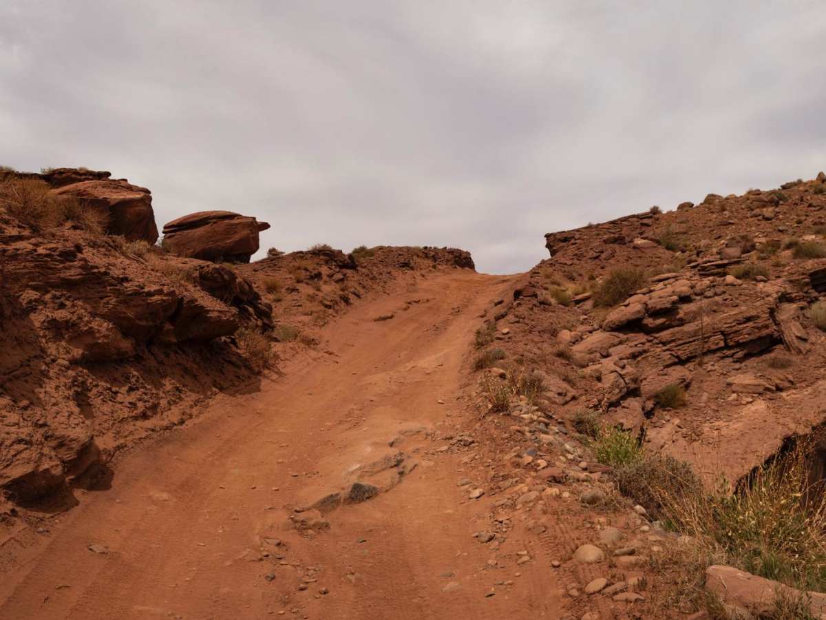
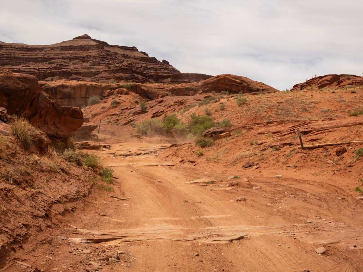
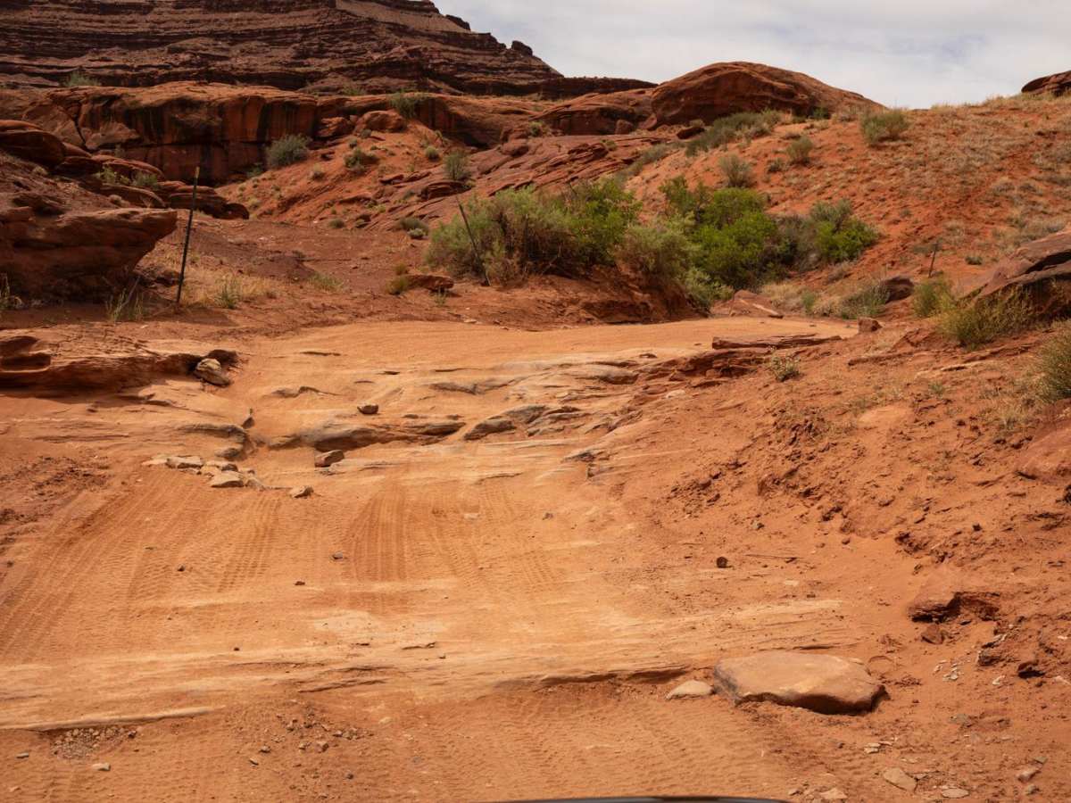
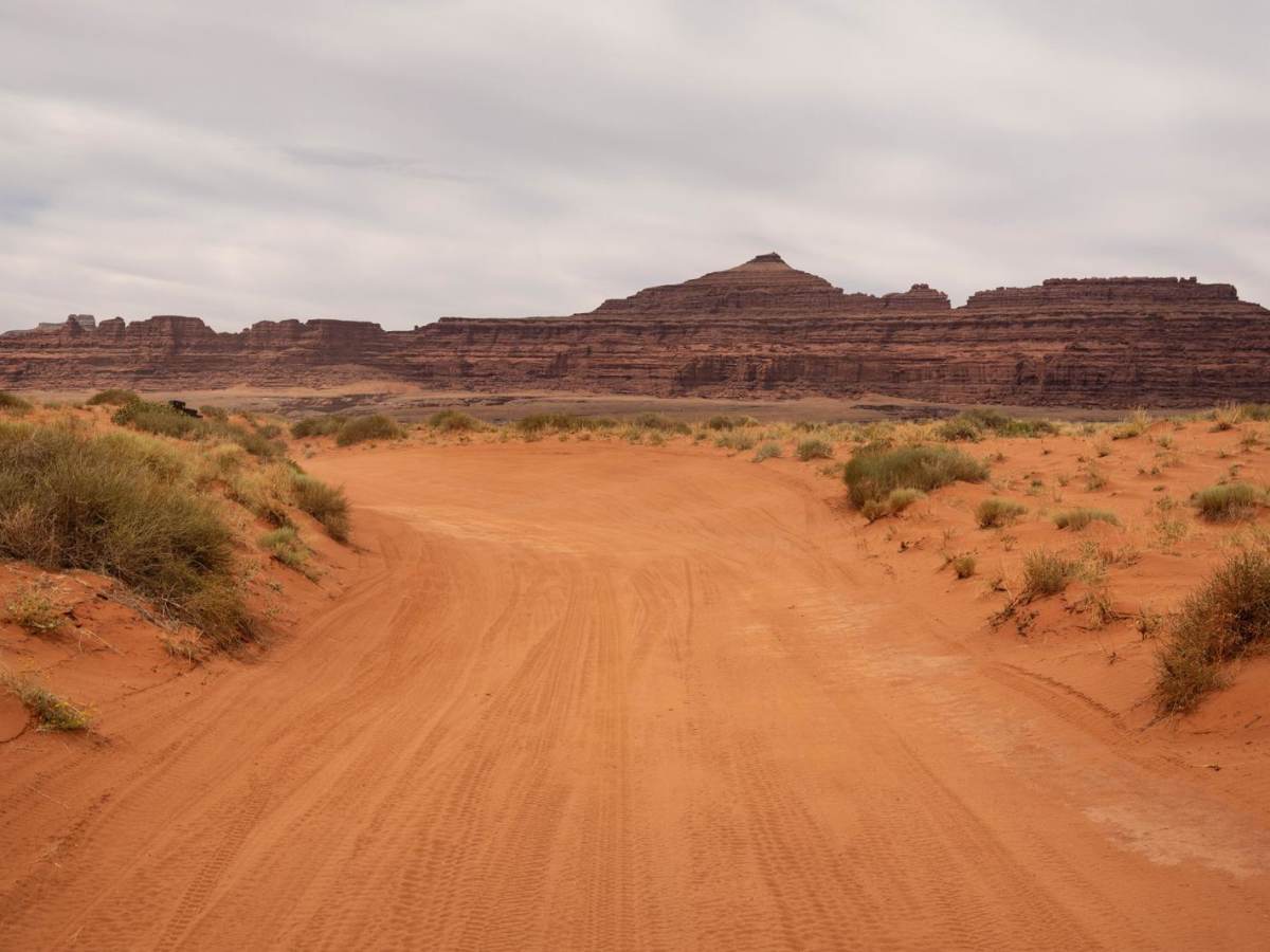
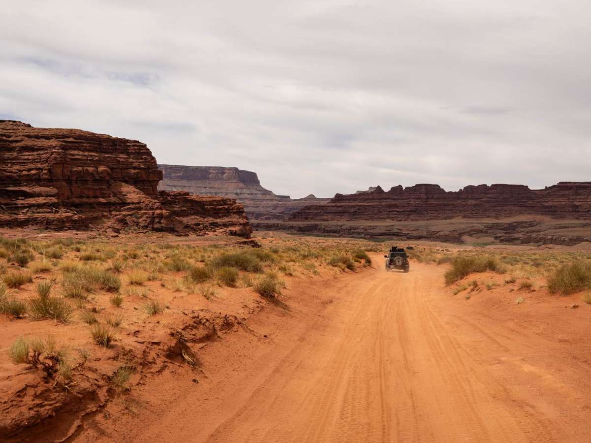
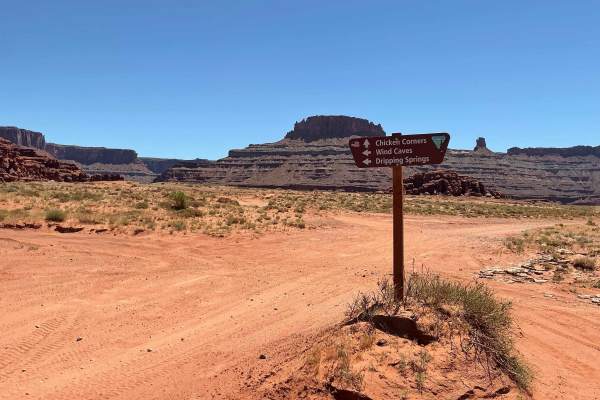
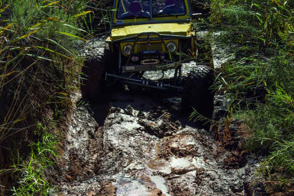
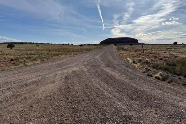
Chicken Corners is a quintessential Moab trail that takes drivers through a stunning progression of red rock terrain, culminating in a dramatic overlook of the Colorado River as it winds below through deep canyon walls. This trail offers a great mix of adventure, scenery, and accessibility, making it a favorite for those looking to experience the area's beauty without tackling intense obstacles. The route features varying terrain, including hard-packed dirt, gravel, slickrock sections, and stretches of loose rock and small ledges. While the trail is rocky in places, most of the technical features are mild and manageable for stock high-clearance vehicles. Drivers will encounter a few shelf road areas, particularly near the namesake "Chicken Corners" -- a narrow ledge with a steep drop-off on one side that gives the trail its reputation, which also leans off camber the wrong way in an uncomfortable manner. While not overly difficult, it may feel nerve-wracking for those with a fear of heights. Scattered along the way are numerous pullouts and riverside cliff campsites, offering excellent spots to pause, explore, or set up camp. The trail is known for its incredible canyon views and wide-open desert scenery. Wildlife sightings, blooming cacti, and views of the river far below add to the appeal. The trail ultimately ends at an unmarked overlook that offers expansive views into Lockhart Basin and the Colorado River corridor--well worth the final push. The drive back follows the same route, as there is no through. Route from the overlook.Chicken Corners is a must-do for those exploring Moab's backroads. With just enough challenge to keep things interesting and iconic scenery throughout, it's a rewarding drive for drivers of all experience levels.
History
The Chicken Corners trail in Moab, Utah, has a rich history rooted in the region's ranching past. Initially a challenging pack trail, it's now primarily a scenic 4x4 route known for its dramatic views and unique features. The trail's name likely stems from the fact that only the most "chicken" wouldn't dare attempt it in the early days. The end of the vehicle trail is a scenic spot overlooking the river, directly across from Dead Horse Point.