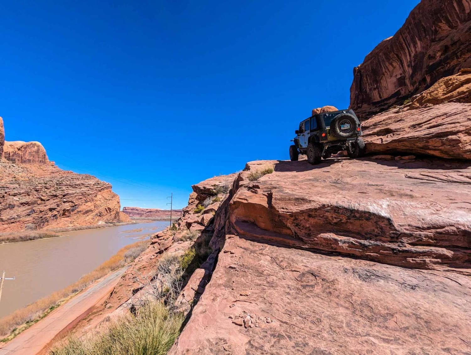
Off-Road Trails in Utah
Discover off-road trails in Utah
Learn more about Mineral Point
Mineral Point
Total Miles
12.1
Tech Rating
Moderate
Best Time
Spring, Summer, Fall, Winter
Learn more about Mining Fork 4x4
Mining Fork 4x4
Total Miles
3.5
Tech Rating
Easy
Best Time
Spring, Summer, Fall
Learn more about Mining Road
Mining Road
Total Miles
1.4
Tech Rating
Moderate
Best Time
Spring, Summer, Fall
Learn more about Minor Overlook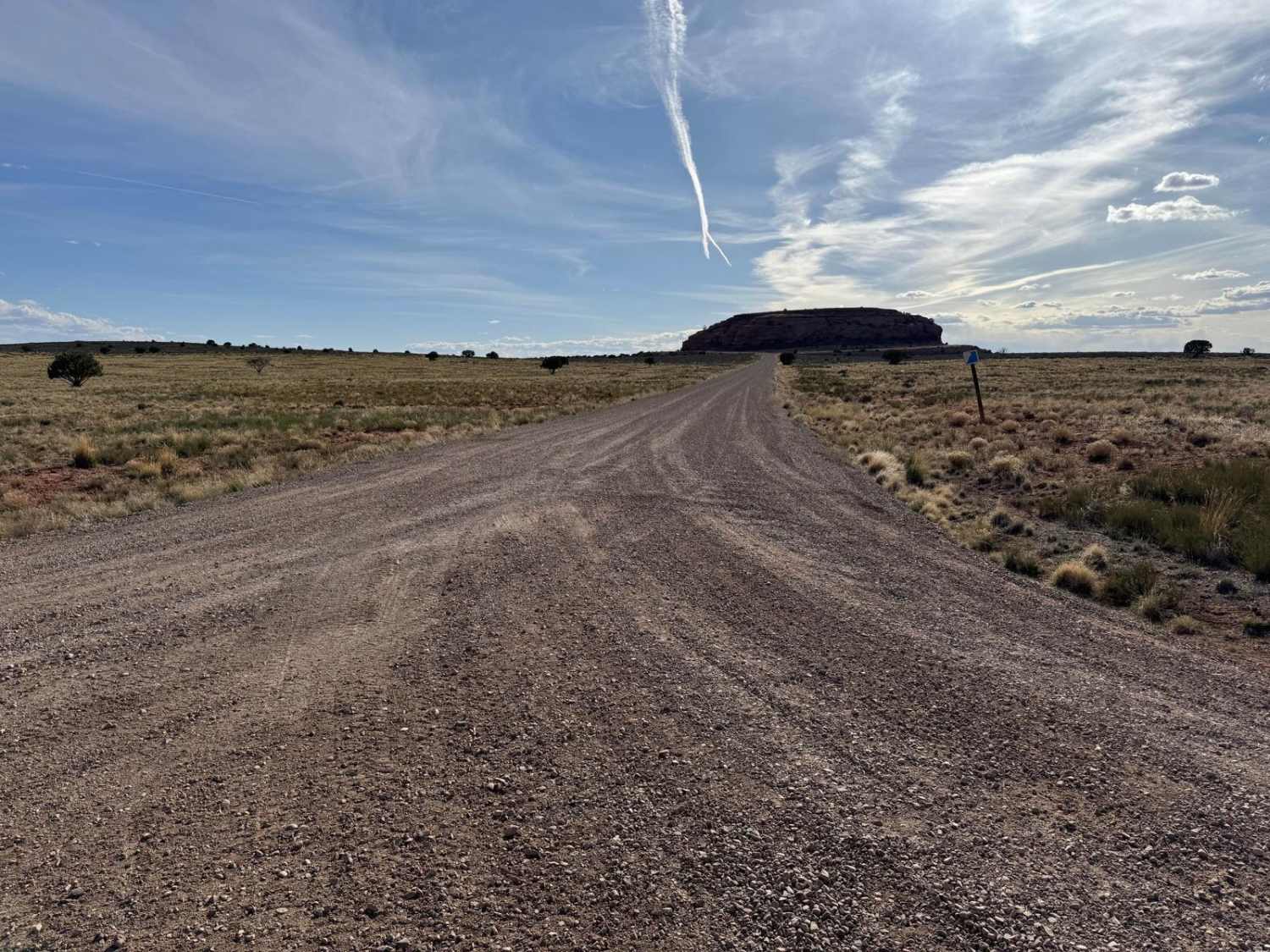
Minor Overlook
Total Miles
1.3
Tech Rating
Easy
Best Time
Spring, Summer, Fall
Learn more about Mitchell Hollow ATV
Mitchell Hollow ATV
Total Miles
3.5
Tech Rating
Easy
Best Time
Fall, Summer
Learn more about Mitchell OHV/Mitchell Spring
Mitchell OHV/Mitchell Spring
Total Miles
8.4
Tech Rating
Easy
Best Time
Spring, Summer, Fall
Learn more about Modena Canyon Road-Hamblin Valley Road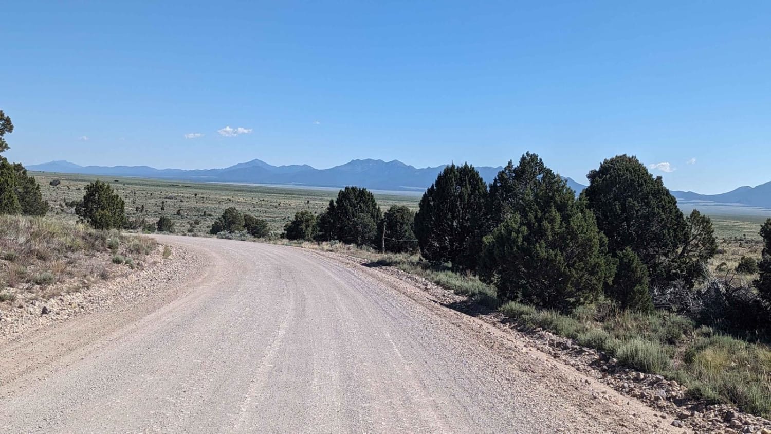
Modena Canyon Road-Hamblin Valley Road
Total Miles
14.4
Tech Rating
Easy
Best Time
Summer, Spring, Fall, Winter
Learn more about Moffit Pass - FS 80135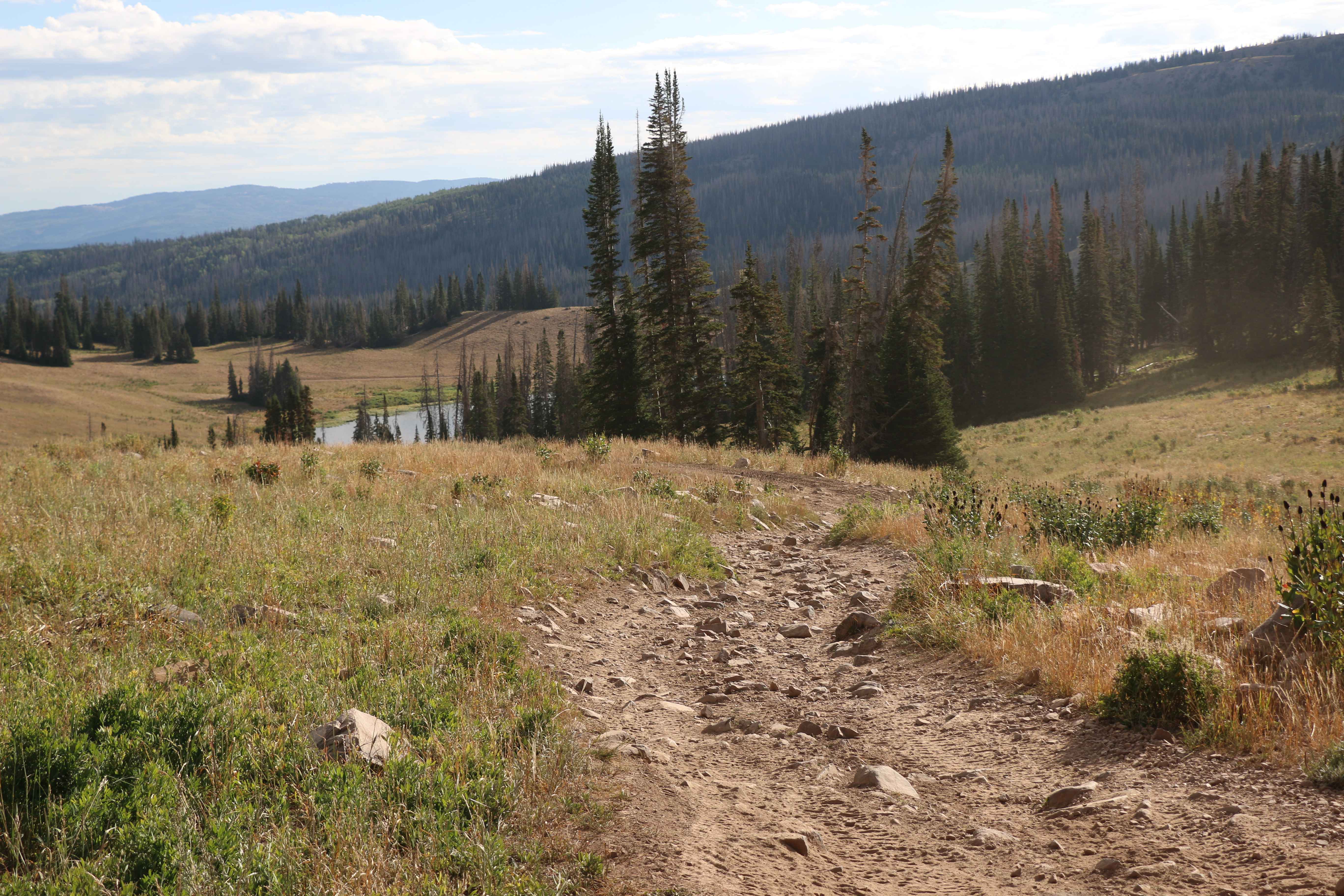
Moffit Pass - FS 80135
Total Miles
4.0
Tech Rating
Moderate
Best Time
Spring, Summer, Fall
Learn more about Moki Canyon
Moki Canyon
Total Miles
10.9
Tech Rating
Difficult
Best Time
Spring, Summer, Fall, Winter
Learn more about Moki Dugway - UT Highway 261
Moki Dugway - UT Highway 261
Total Miles
2.7
Tech Rating
Easy
Best Time
Spring, Summer, Fall, Winter
Learn more about Mollie's Nipple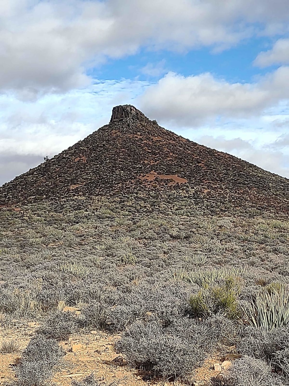
Mollie's Nipple
Total Miles
1.9
Tech Rating
Easy
Best Time
Spring, Summer, Fall, Winter
Learn more about Molly Hogan Spur
Molly Hogan Spur
Total Miles
1.0
Tech Rating
Easy
Best Time
Spring, Summer, Fall, Winter
Learn more about Molly Hogans Overlook
Molly Hogans Overlook
Total Miles
1.4
Tech Rating
Easy
Best Time
Spring, Summer, Fall, Winter
Learn more about Mona Reservoir Overlook
Mona Reservoir Overlook
Total Miles
2.4
Tech Rating
Easy
Best Time
Spring, Summer, Fall
Learn more about Monarch Canyon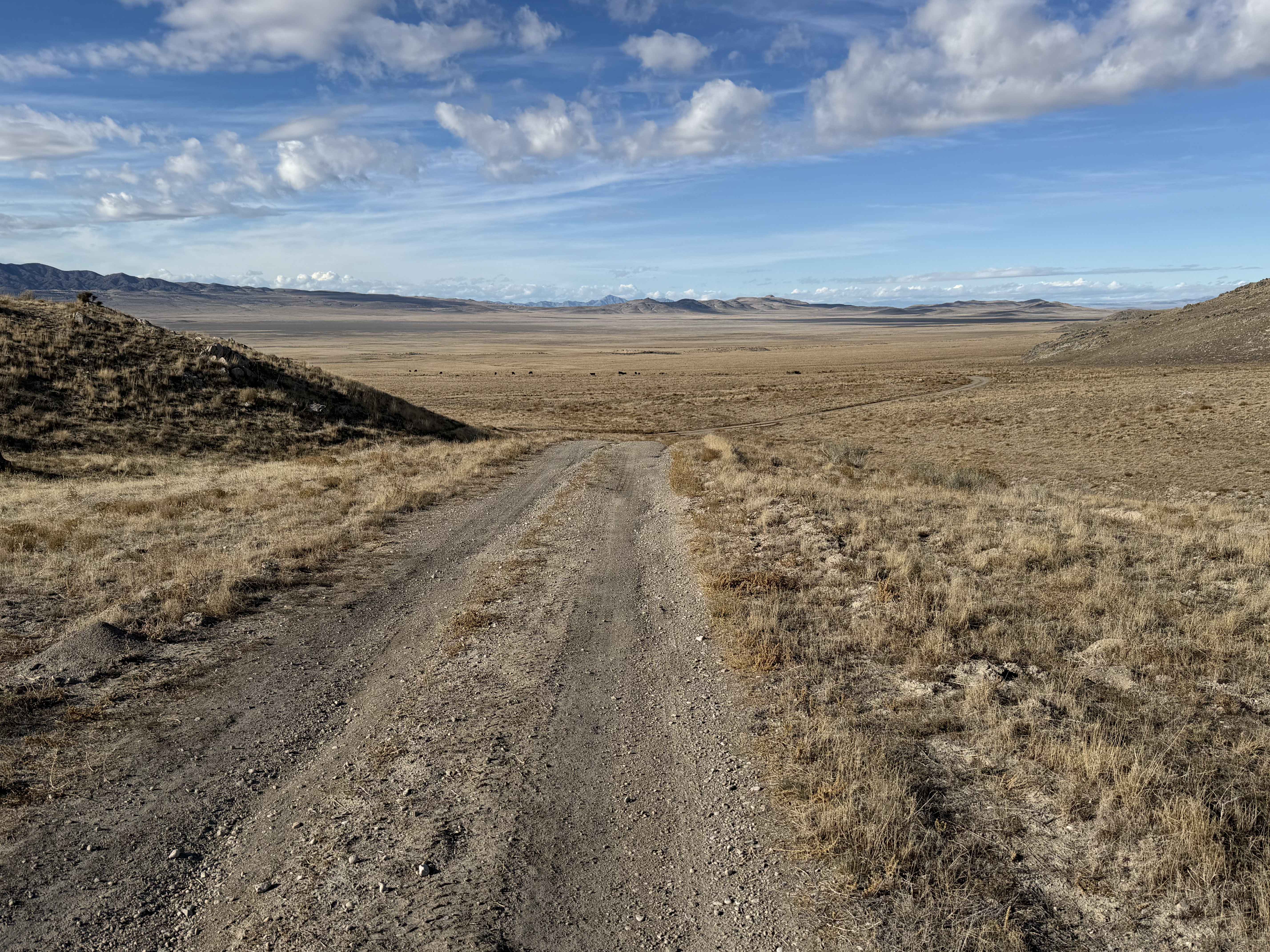
Monarch Canyon
Total Miles
6.1
Tech Rating
Easy
Best Time
Spring, Summer, Fall, Winter
Learn more about Monks Hollow Connector #318
Monks Hollow Connector #318
Total Miles
3.1
Tech Rating
Moderate
Best Time
Spring, Summer, Fall
Learn more about Monroe Canyon Road - PST 78
Monroe Canyon Road - PST 78
Total Miles
9.7
Tech Rating
Easy
Best Time
Spring, Summer, Fall
ATV trails in Utah

Learn more about 14 Mile Road
14 Mile Road
Total Miles
14.7
Tech Rating
Easy
Best Time
Spring, Summer, Fall, Winter


UTV/side-by-side trails in Utah
Learn more about 14 Mile Road
14 Mile Road
Total Miles
14.7
Tech Rating
Easy
Best Time
Spring, Summer, Fall, Winter
The onX Offroad Difference
onX Offroad combines trail photos, descriptions, difficulty ratings, width restrictions, seasonality, and more in a user-friendly interface. Available on all devices, with offline access and full compatibility with CarPlay and Android Auto. Discover what you’re missing today!