Mining Road
Total Miles
1.4
Technical Rating
Best Time
Spring, Summer, Fall
Trail Type
Full-Width Road
Accessible By
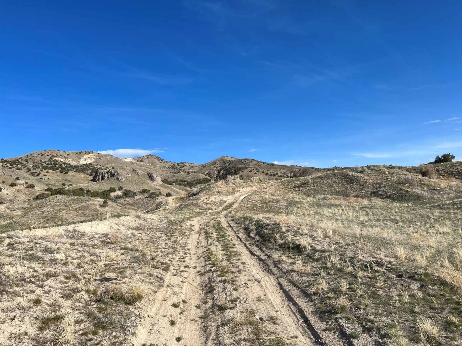
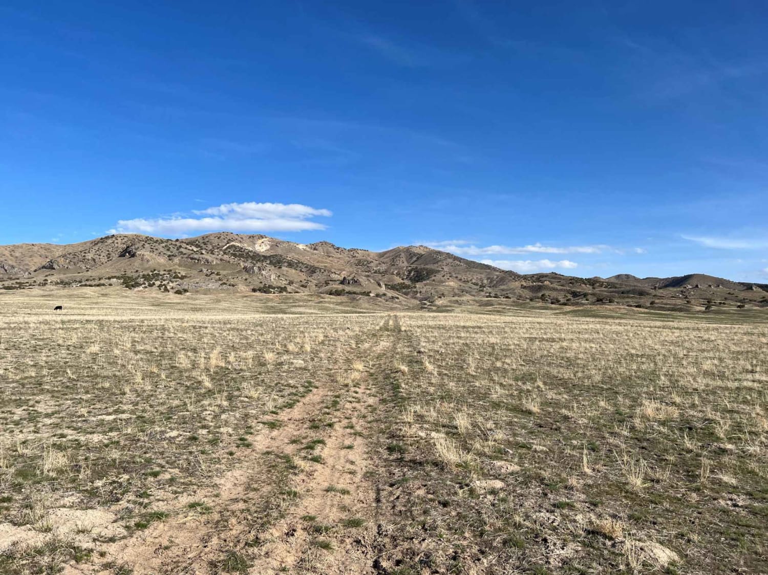
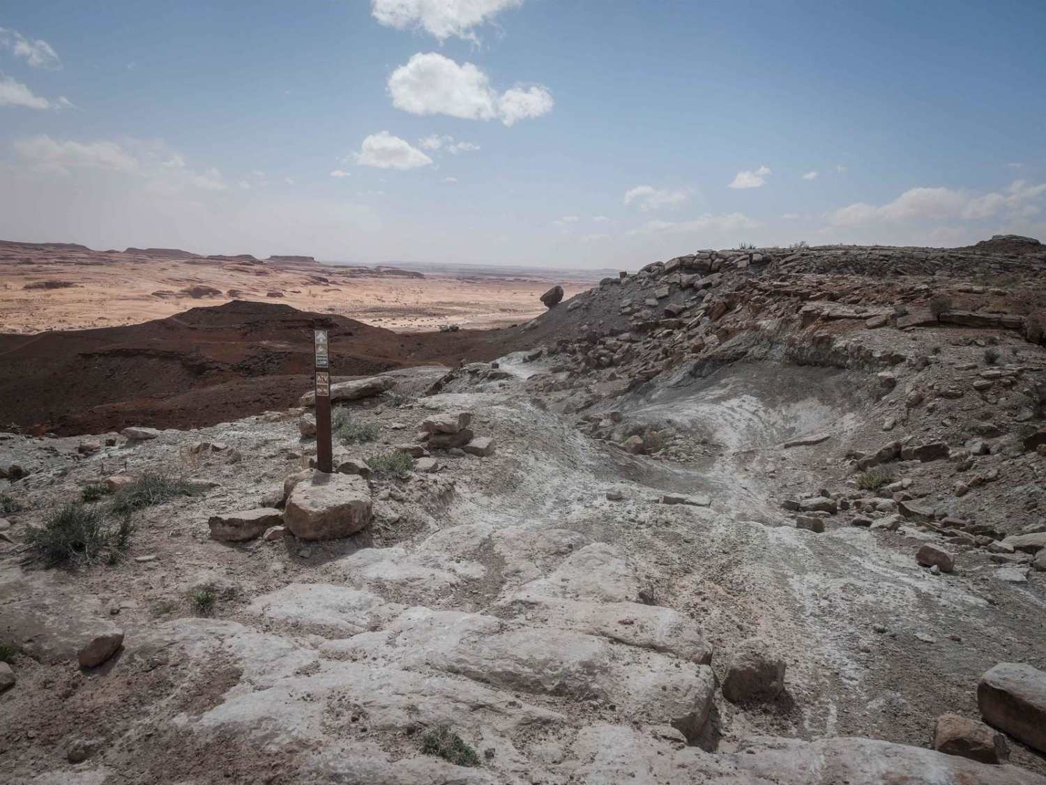
Trail Overview
This trail breaks off of Cedar Mt Road and heads up into the hillside where it ends at an old mine. The start of the trail is overgrown and difficult to see. The entire trail is one car width and does get tight in a few spots. Once on the hillside, there are several loose sand sections which increase the difficulty level. There's also one area where the trail is partially washed out, requiring you to ride off-camber in a 4WD vehicle to avoid slipping into the washout.
Photos of Mining Road
Difficulty
A few loose, deep sand sections and a washout make this trail more difficult.
Status Reports
Mining Road can be accessed by the following ride types:
- High-Clearance 4x4
- SUV
- SxS (60")
- ATV (50")
- Dirt Bike
Mining Road Map
Popular Trails
White River Loop
Devils Racetrack-BLM639
Devil's Kitchen - CR 3551
Enduro Loop (West)
The onX Offroad Difference
onX Offroad combines trail photos, descriptions, difficulty ratings, width restrictions, seasonality, and more in a user-friendly interface. Available on all devices, with offline access and full compatibility with CarPlay and Android Auto. Discover what you’re missing today!