2 trails found in Utah
Which "murdock basin" are you looking for?
We found 2 off-road trails in Utah matching your search. Pick the one you're looking for below.
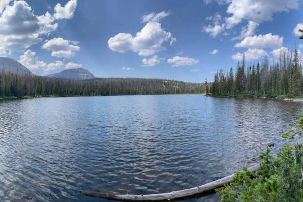
Murdock Basin - FR 80137
Murdock Basin is a great trail that will get you deep into the forest close to several mountain lakes, in the shadows of Mount Cardwell (10,741 ft) & Murdock Mountain (11, 207 ft), access to numerous hiking and backpacking trails, and right to the edge of the High Uintas Wilderness.
Learn more about Murdock Basin - FR 80137
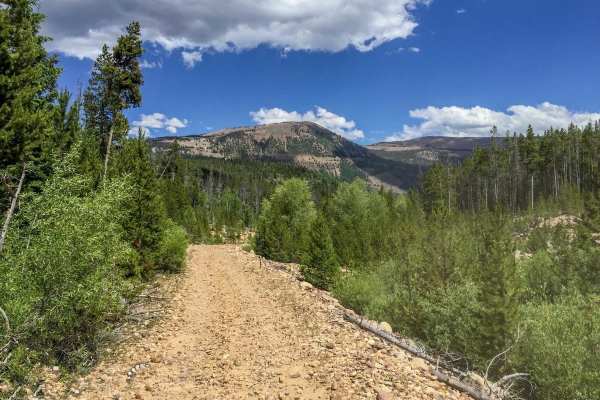
Murdock Basin
This is a great area to ride ATVs and dirt bikes. There are also roads open to SxSs and high clearance vehicles. The area can be very confusing if you don't have a forest service motor vehicle use map. This would also be a fantastic area for easy backpacking, as there are many lakes just a short tre...
Learn more about Murdock Basin