West Mountain Peak Road
Total Miles
2.5
Technical Rating
Best Time
Summer, Fall
Trail Type
High-Clearance 4x4 Trail
Accessible By
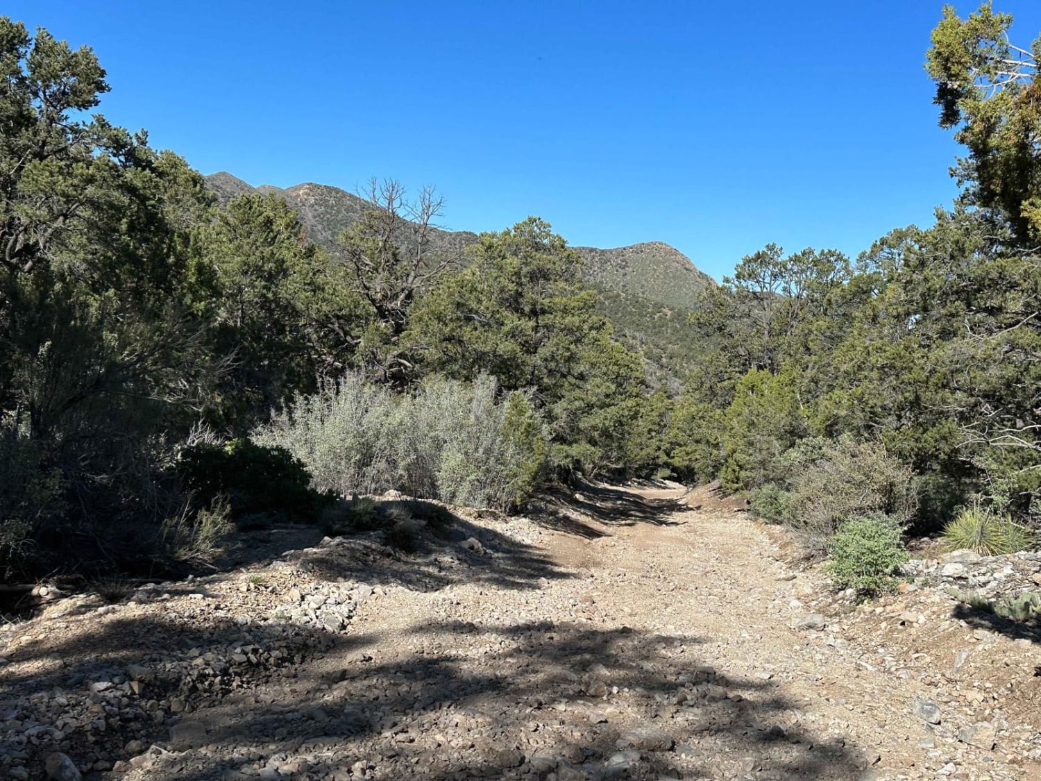
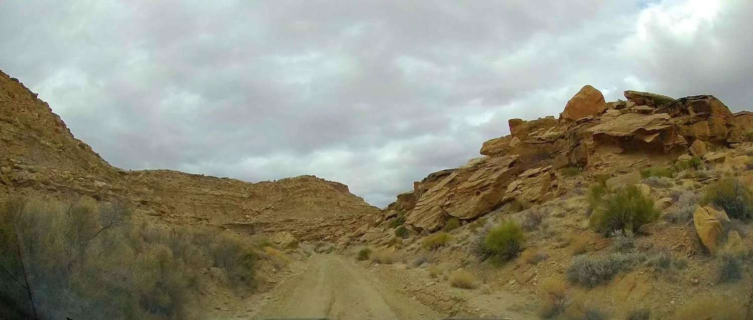
Trail Overview
West Mountain Peak Road provides access for maintaining several communications towers situated at the top of West Mountain Peak. The road starts at the top of Hells Hole Pass and continues 2.5 miles to the peak. The road is not for the faint of heart and is only meant for a high clearance vehicle, ATV or SxS. The road covers 1600 feet of elevation gain in a 2.5-mile span. There are nearly 360-degree views of Southern Utah and Nevada.
Photos of West Mountain Peak Road

Difficulty
Sections of the road are very steep grades with a lot of loose rock and shale for the road surface. Only experienced drivers should attempt this trail with the correct equipment.
Status Reports
West Mountain Peak Road can be accessed by the following ride types:
- High-Clearance 4x4
- SxS (60")
- ATV (50")
- Dirt Bike
West Mountain Peak Road Map
Popular Trails

Saucer Canyon

Tommy Creek Loop
Smoky Hollow Road

The onX Offroad Difference
onX Offroad combines trail photos, descriptions, difficulty ratings, width restrictions, seasonality, and more in a user-friendly interface. Available on all devices, with offline access and full compatibility with CarPlay and Android Auto. Discover what you’re missing today!