White Rocks Alternate
Total Miles
11.4
Technical Rating
Best Time
Winter, Fall, Summer, Spring
Trail Type
Full-Width Road
Accessible By
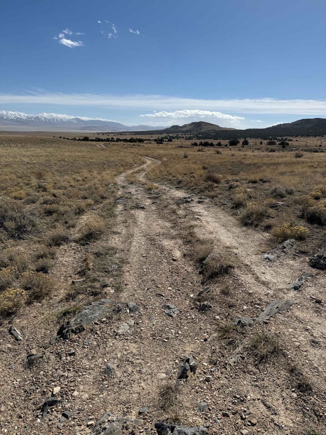
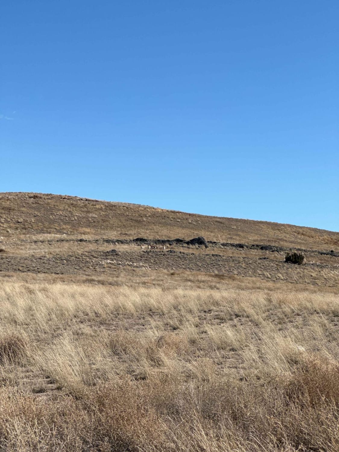
Trail Overview
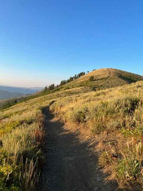
This one-lane narrow road is a good option to or from White Rocks if you don't like backtracking the same road that you ride in. Along this trail, you'll have awesome desert views and one slightly rocky section, but nothing a stock truck couldn't handle. It's 10.85 miles one way. Some sections of the trail may have tumbleweeds covering the trail at certain times of the year. Be respectful of the ranchers who have cattle in the area and always make sure to close any gates. There is little to no cell reception, so download your map.
Photos of White Rocks Alternate
Difficulty
This trail is accessible with a stock truck; some ruts may be too deep and some rocks too tall for cars and small SUVs.
History
This trail is close to the area where the 1968 Dugway sheep kill occurred.
Status Reports
White Rocks Alternate can be accessed by the following ride types:
- High-Clearance 4x4
- SUV
- SxS (60")
- ATV (50")
- Dirt Bike
White Rocks Alternate Map
Popular Trails
Down Floy Canyon Road
Lewis Peak (6041)

The onX Offroad Difference
onX Offroad combines trail photos, descriptions, difficulty ratings, width restrictions, seasonality, and more in a user-friendly interface. Available on all devices, with offline access and full compatibility with CarPlay and Android Auto. Discover what you’re missing today!