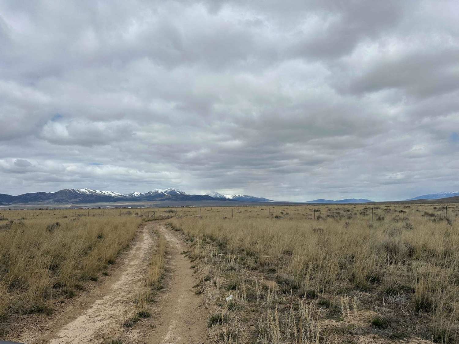
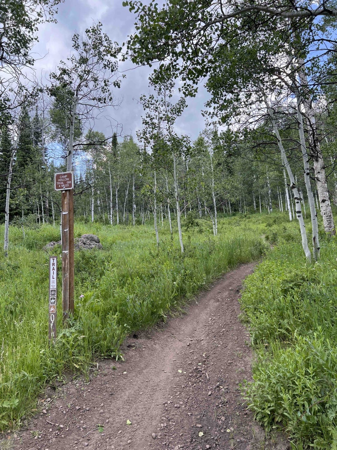
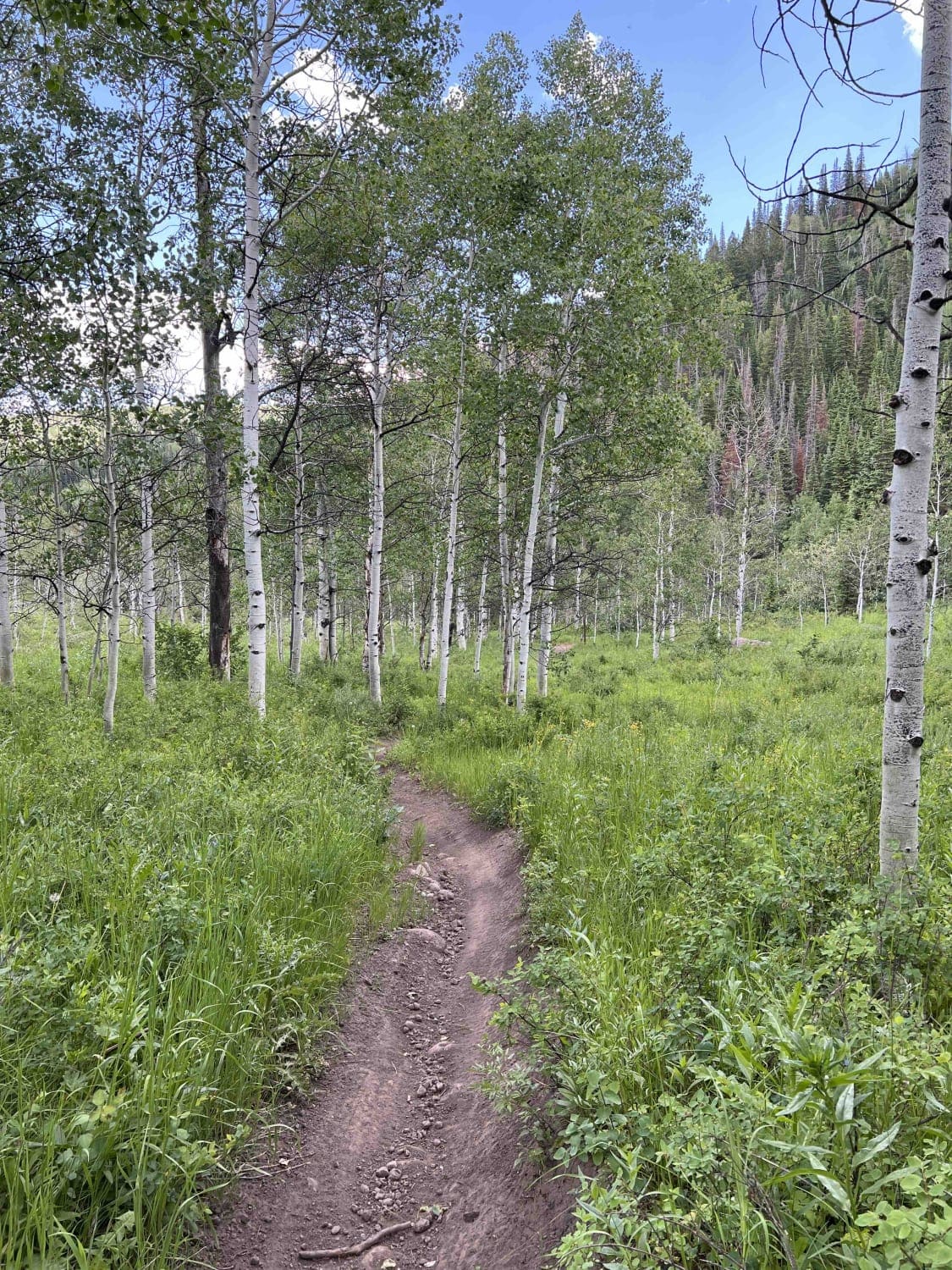
Camp Hollow
Total Miles
3.9
Technical Rating
Best Time
Fall, Summer
Trail Type
Single Track
Accessible By
Trail Overview
Camp Hollow splits off from Little South Fork Trail about 4 miles from the parking lot area at Route 35. The trail gains approximately 1,300 feet of elevation when riding south. It dead-ends at Camp Hollow Forest Road 310. You can either ride forest roads east to Little South Fork Trail or turn around and backtrack. The trail is very smooth and flowy in many places, however, there are some difficult obstacles mixed in. Riding south, the first is a section of large boulders and rocks. These are embedded in the ground and softball to basketball-sized. After this, there's a creek crossing which can be very deep in the melt season. The last major obstacle is a large rock field in the woods which crosses a muddy bog area. The rocks here are larger and will usually be wet from the puddles in the area.
Photos of Camp Hollow
Difficulty
Surprisingly large rock sections are found through this smooth trail. Those and a deep stream crossing make this a more difficult trail.
Camp Hollow can be accessed by the following ride types:
- Dirt Bike
Camp Hollow Map
Popular Trails

Little Canyon Trail

West Fork Duchesne - FR 70050

Lily Lake Road

Canyon Carver
The onX Offroad Difference
onX Offroad combines trail photos, descriptions, difficulty ratings, width restrictions, seasonality, and more in a user-friendly interface. Available on all devices, with offline access and full compatibility with CarPlay and Android Auto. Discover what you’re missing today!

