Antelope/Honeymoon Trail (North)
Total Miles
14.6
Technical Rating
Best Time
Winter, Fall, Summer, Spring
Trail Type
Full-Width Road
Accessible By
Trail Overview
This trail is a well-maintained gravel road that provides a shortcut between the ranches to the south to Hurricane City. It does connect to Highway 59 in the north. However, this route does not take you to the highway, as OHVs are not allowed on this highway. OHVs can follow the track in the north when the gravel road exists, and highway vehicles, not OHs, can proceed to the highway. Young couples used this trail as an alternative to taking the steep and dangerous trip down the Hurricane Cliff trail directly to St. George. This path is much easier to navigate, although longer. The rating of 2 only applies to the northern portion, which is not the well-maintained gravel road.
Photos of Antelope/Honeymoon Trail (North)


Difficulty
Well maintained gravel road. OHVs must take the alternate route into Hurricane as Highway 59 is not accessible to OHVs. The rating of 2 is only applicable to the trail portion on the north that leaves the gravel road to traverse a farm trail that drops onto Highway 59 in a 30MPH section approximately 1/4 mile outside of Hurricane City.
Status Reports
Antelope/Honeymoon Trail (North) can be accessed by the following ride types:
- High-Clearance 4x4
- SUV
- SxS (60")
- ATV (50")
- Dirt Bike
Antelope/Honeymoon Trail (North) Map
Popular Trails

Baxter Sawmill Overlook

Kolob Terrace Road
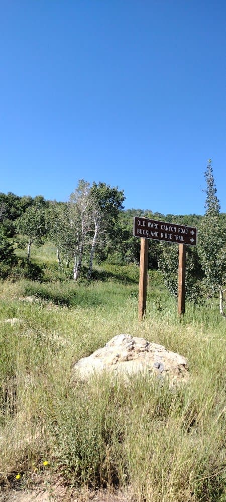
Old Ward Canyon Road

Peter's Leep-Mormon Trail
The onX Offroad Difference
onX Offroad combines trail photos, descriptions, difficulty ratings, width restrictions, seasonality, and more in a user-friendly interface. Available on all devices, with offline access and full compatibility with CarPlay and Android Auto. Discover what you’re missing today!