Rod's Valley
Total Miles
5.9
Technical Rating
Best Time
Fall, Summer, Spring
Trail Type
Full-Width Road
Accessible By
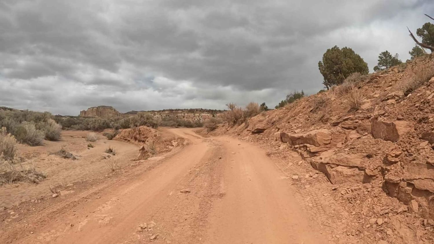
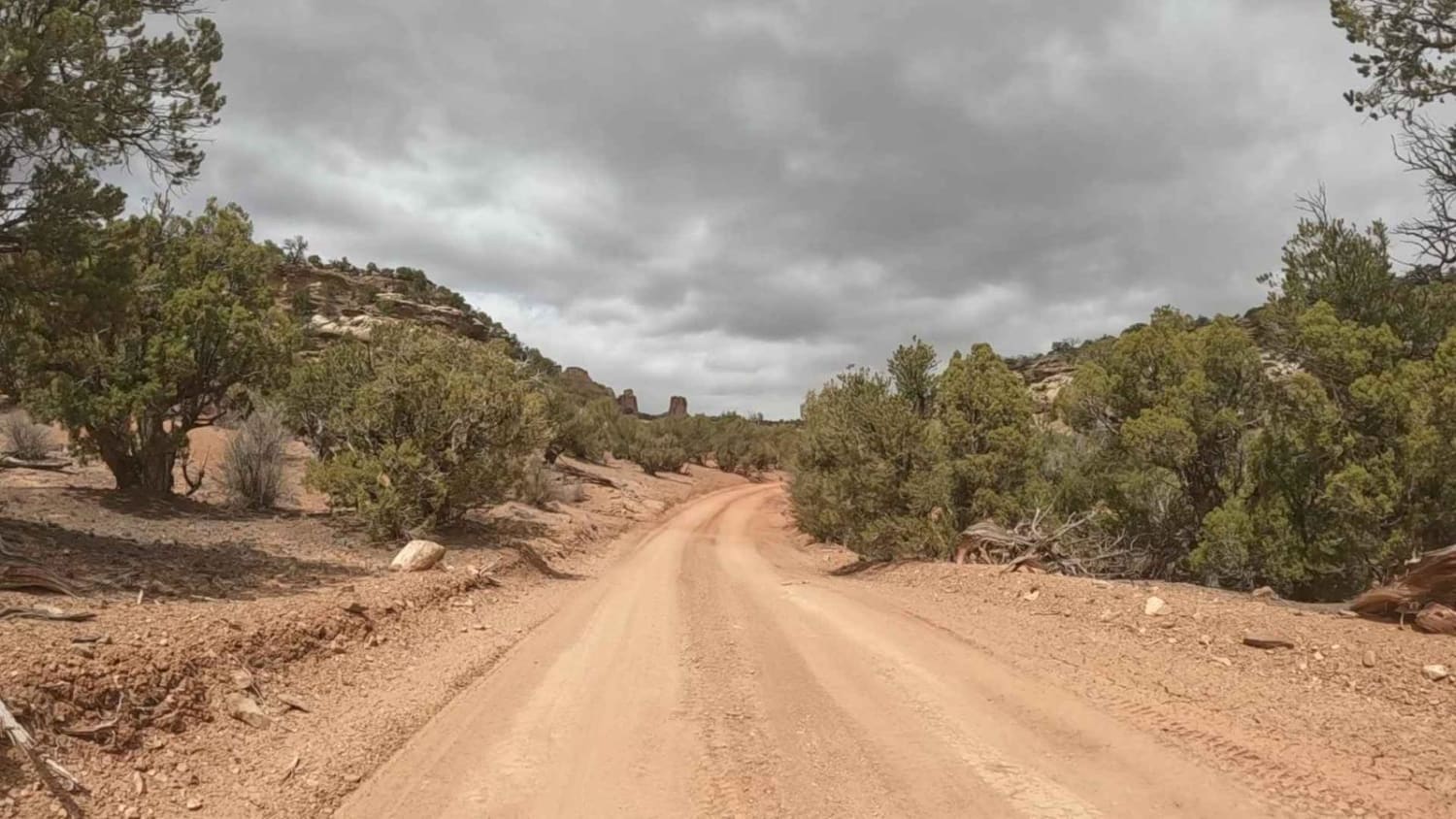
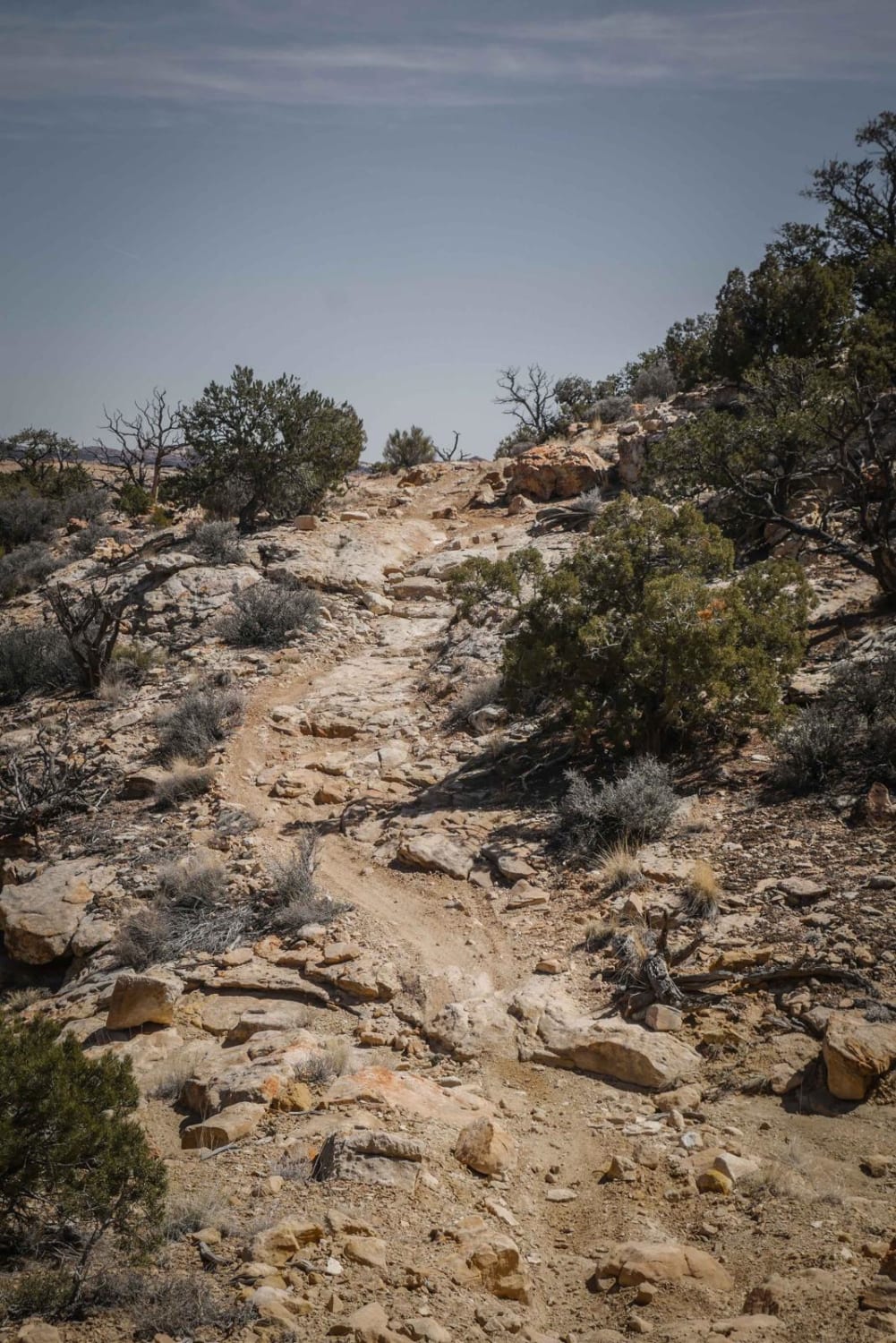
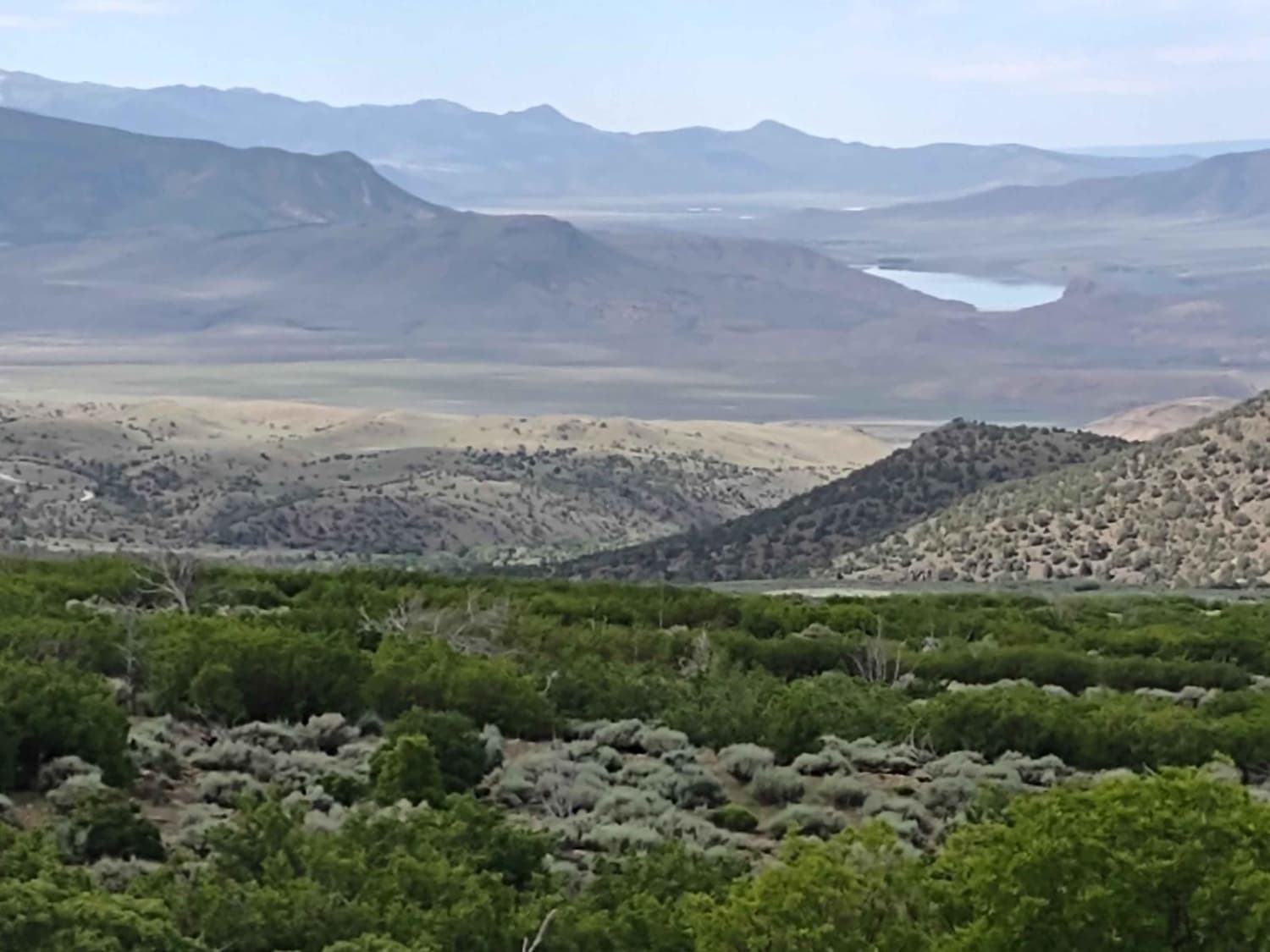
Trail Overview
This is a fun trail connecting the north and south areas of the San Rafael Swell. Use the trail to reach multiple arches, pictographs, Devil's Racetrack, and Fix It Pass in the north or the Temple Mountain area and access to Goblin Valley State Park in the South. There are enough offshoot trails along the way to occupy an entire day.
Photos of Rod's Valley
Difficulty
Expect loose dirt and gravel with the occasional rut.
Status Reports
Rod's Valley can be accessed by the following ride types:
- High-Clearance 4x4
- SUV
- SxS (60")
- ATV (50")
- Dirt Bike
Rod's Valley Map
Popular Trails
Magpie Road to West Canyon Trailhead
Orange Trail
Alternate Smith Canyon Access (FS# 4923)
The onX Offroad Difference
onX Offroad combines trail photos, descriptions, difficulty ratings, width restrictions, seasonality, and more in a user-friendly interface. Available on all devices, with offline access and full compatibility with CarPlay and Android Auto. Discover what you’re missing today!