Croton Road
Total Miles
25.0
Technical Rating
Best Time
Spring, Summer, Fall
Trail Type
Full-Width Road
Accessible By
Trail Overview
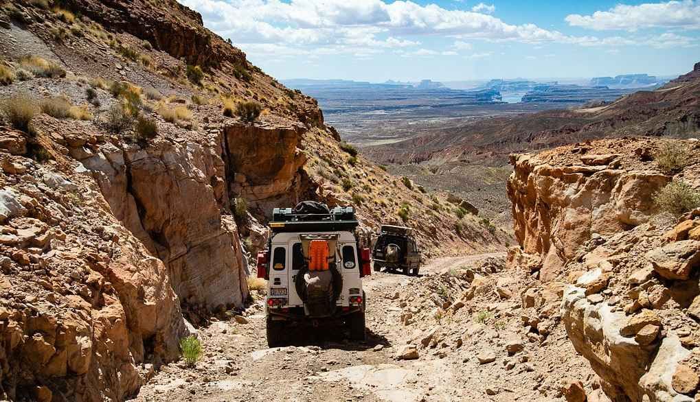
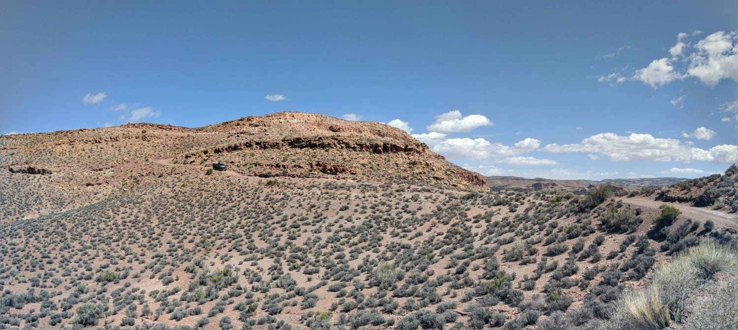
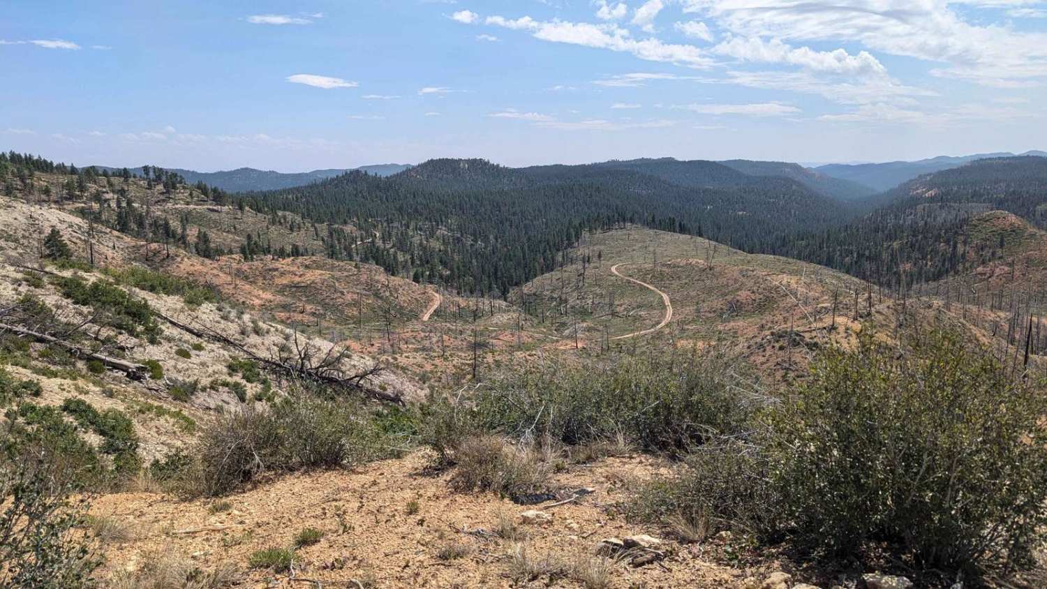
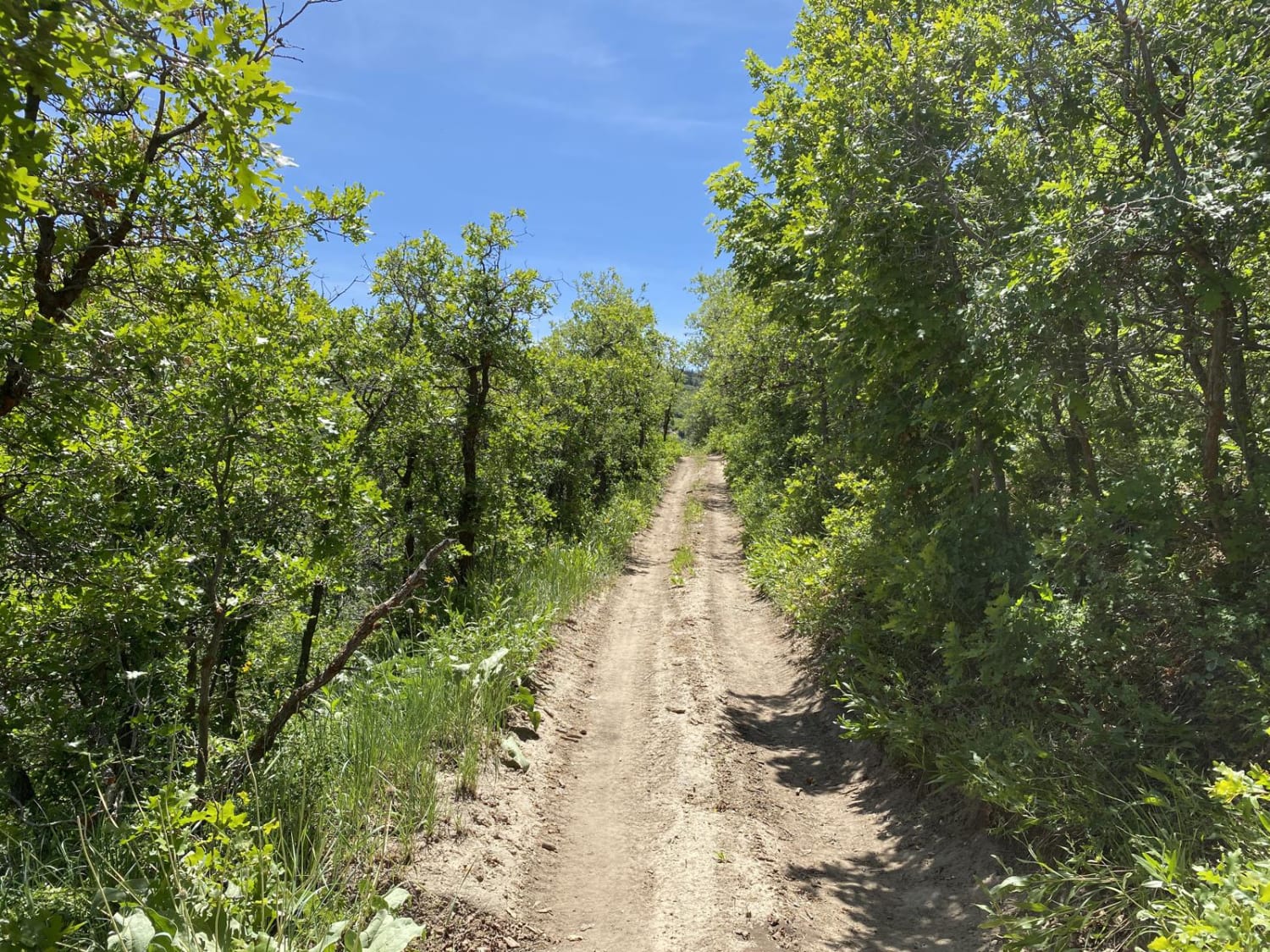
Croton Road is a rarely used gravel road that stretches twenty-five miles through the Grand Staircase Escalante. It connects Left Hand Collett to the Sit Down Bench and Little Valley roads along the Croton Bench above Lake Powell. Its biggest draw is those seeking evidence of the underground burning coal fires in the nearby Burning Hills. This road is rocky and is not regularly maintained. In wet weather, it would be easy to get stuck. This is a very remote area.
Photos of Croton Road
Difficulty
bumpy and rocky but not difficult.
Status Reports
Croton Road can be accessed by the following ride types:
- High-Clearance 4x4
- SUV
Croton Road Map
Popular Trails

Stout Canyon Connector
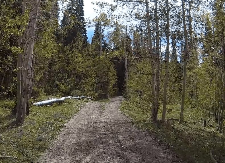
Exiting Manti Canyon
Maple Springs Trail
The onX Offroad Difference
onX Offroad combines trail photos, descriptions, difficulty ratings, width restrictions, seasonality, and more in a user-friendly interface. Available on all devices, with offline access and full compatibility with CarPlay and Android Auto. Discover what you’re missing today!
